A photograph of Auckland

City guide · New Zealand

Up to 1 hour in Auckland, New Zealand — page 3

Auckland is organised by two harbours, volcanic terrain and a narrow urban isthmus. The city centre descends to the Waitematā waterfront, while Ponsonby, Parnel...

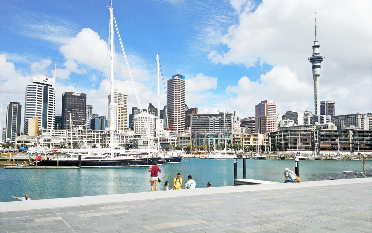
Photograph · ChewyPineapple · CC BY-SA 3.0

10,100 Places
Suggested stay
Not recorded
Getting around
Walking, bus, train and ferry

Turn this list into a plan

Set your days, your pace and the hours you actually want to be out. The planner works around closing days and travel time, and leaves room to eat.

Plan Auckland

Reviewed by Elena Voss · Roavina Travel Editor

Auckland is organised by two harbours, volcanic terrain and a narrow urban isthmus. The city centre descends to the Waitematā waterfront, while Ponsonby, Parnell and Newmarket sit on separate ridges. Devonport and the harbour islands require water crossings, and the west-coast beaches lie beyond the central public-transport pattern. A useful visit therefore alternates compact neighbourhood walks with planned outward journeys.

Checked 2026-08-26

Practical information

Language spoken
English, Māori and New Zealand Sign Language
National practical orientation; regional and minority languages may also be used
Dialling code
+64
International calling code; local area and mobile prefixes still apply
Currency
New Zealand dollar (NZD)
Use the official local currency; card acceptance varies by place
Emergency number
111
Use only for an emergency; tourist assistance may use a separate number
Plug type
Type I · 230 V
Check that chargers support the recorded voltage before using an adapter
Tap water
Safe from treated public supplies
Follow local notices for remote or untreated supplies

Planning a visit

September · September reaches only 16.4°C by day in Auckland and falls in spring, the region's generally windiest season.

  1. January: good time to visit
  2. February: good time to visit
  3. March: best time to visit
  4. April: best time to visit
  5. May: good time to visit
  6. June: viable with meaningful trade-offs
  7. July: viable with meaningful trade-offs
  8. August: viable with meaningful trade-offs
  9. September: viable with meaningful trade-offs — current month
  10. October: good time to visit
  11. November: best time to visit
  12. December: good time to visit

Sources

Top things to see

Ranked by importance — sitelinks, pageviews and heritage status, not editor preference.

  1. Duder Regional Park Duder Regional Park
    32 1 hour

    Duder Regional Park

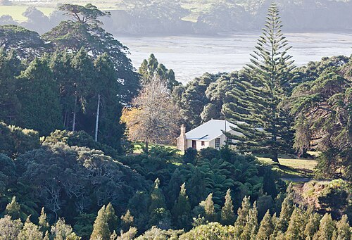
    Duder Regional Park is a coastal regional park located on the Whakakaiwhara Peninsula in east Auckland. The park encompasses a working farm landscape with pastoral land, native bush remnants, and significant coastline along the Hauraki Gulf.

    • Must see
    • Nature site
  2. Āwhitu Regional Park Āwhitu Regional Park
    33 1 hour

    Āwhitu Regional Park

    Āwhitu Regional Park is a regional park managed by Auckland Council, situated on the Āwhitu Peninsula southwest of central Auckland. The park encompasses coastal landscapes, native bush, and farmland across a significant peninsula area.

    • Must see
    • Nature site
  3. Tāwharanui Peninsula Tāwharanui Peninsula
    34 1 hour

    Tāwharanui Peninsula

    Tāwharanui Regional Park

    Tāwharanui Regional Park is a coastal regional park managed by Auckland Council, situated on the Tāwharanui Peninsula northeast of Auckland city. The park encompasses beaches, farmland, and regenerating native bush.

    • Must see
    • Nature site
  4. Scandrett Regional Park Scandrett Regional Park
    35 1 hour

    Scandrett Regional Park

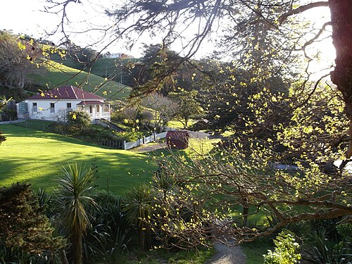
    Scandrett Regional Park is a coastal regional park on the northeastern coast of the Auckland region, New Zealand. The park encompasses a historic farm settlement, native bush, and shoreline along Kawau Bay.

    • Must see
    • Nature site
  5. Sculptureum Sculptureum
    36 1 hour

    Sculptureum

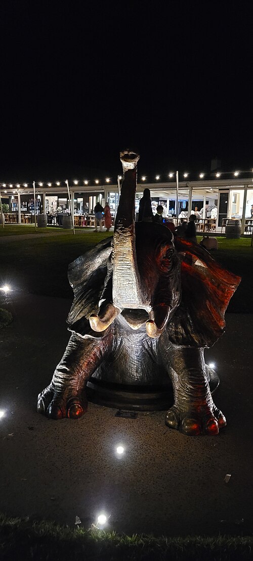
    Sculptureum is an art destination in Auckland's Matakana region, north of the central city. The attraction combines outdoor sculpture gardens with indoor gallery spaces, presenting works by New Zealand and international artists.

    • Must see
    • Art and culture venue
  6. Waiwera Beach Waiwera Beach
    37 1 hour

    Waiwera Beach

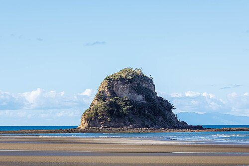
    Waiwera Beach is a coastal stop north of Auckland, beside the small settlement of Waiwera and close to the area’s long association with geothermal bathing.

    • Must see
    • Nature site
  7. Ōrewa Beach Ōrewa Beach
    38 1 hour

    Ōrewa Beach

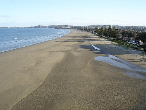
    Orewa Beach is a long east-facing beach on Auckland’s Hibiscus Coast, around forty kilometres north of the central city.

    • Must see
    • Nature site
  8. Onetangi Beach Onetangi Beach
    39 1 hour

    Onetangi Beach

    Onetangi Beach is a coastal destination on Waiheke Island, part of the Auckland region. The beach stretches along the northern coast of the island, facing the Hauraki Gulf.

    • Must see
    • Nature site
  9. Stony Batter Stony Batter
    40 20 min

    Stony Batter

    Stony Batter Historic Reserve is a coastal defence site on Waiheke Island in the Hauraki Gulf. Constructed during World War II, it formed part of New Zealand's network of fortifications designed to protect Auckland from naval attack.

    • Must see
    • Viewpoint

Source: OpenStreetMap contributors, Wikidata ·

How the city is laid out

Combine the central waterfront, Britomart and nearby city sights before climbing into an inner neighbourhood. Put Devonport or another harbour destination into a ferry-led block whose return sailing is known in advance. Western beaches need a dedicated excursion and should not share a day with island travel. This structure avoids repeatedly crossing the city and makes Auckland's geography part of the plan rather than an afterthought.

Checked 2026-08-26

Getting around

Auckland's centre is walkable but steep in places. Buses and trains connect the urban isthmus, while ferries are part of the everyday network for Devonport and selected islands. Match the mode to the geography: rail or bus for inland corridors, ferry for harbour crossings, and a separately checked connection for western landscapes. Consult Auckland's official visitor transport guidance and current operator timetables before departure.

Checked 2026-08-26

Common questions

How many days should I spend in Auckland?

No official city-wide duration is recorded. Begin with the centre and Waitematā waterfront, then add an inner neighbourhood, a ferry destination or a west-coast outing according to the days available.

How should I organise sightseeing in Auckland?

Plan the waterfront and central streets together. Use separate blocks for ridge-top neighbourhoods and for any harbour island, because ferry timing changes the shape of that day. Keep the west coast independent from both.

How do I get around Auckland?

Walk in the centre, use buses or trains along the isthmus and take ferries for harbour destinations. Check the official journey information for the exact sailing or connection rather than treating every Auckland trip as a road journey.

Can I explore Auckland mainly on foot?

The centre and waterfront join naturally on foot, although the climb to surrounding ridges is noticeable. Devonport, the islands, outer suburbs and western beaches all require transport beyond a central walking circuit.

Which Auckland trips need separate planning?

Harbour islands and west-coast beaches need separate planning. Confirm ferry returns for island visits and the full outward-and-back connection for regional landscapes before committing the day.