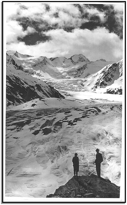
Dart River
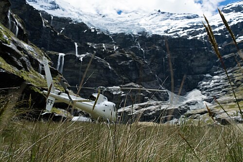
Dart River flows through the Glenorchy region near Queenstown, New Zealand. The river runs from the Dart Glacier in Mount Aspiring National Park through a braided valley system into Lake Wakatipu.
- Must see
- Nature site
- Queenstown
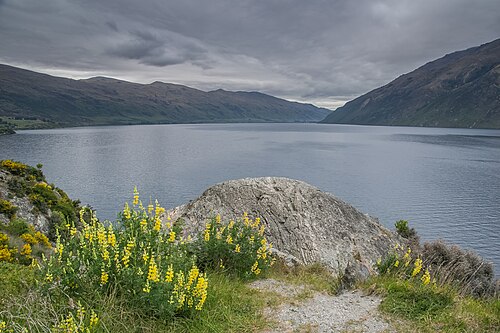
Country guide
New Zealand runs more than 1,600 kilometres along a north-north-east axis, and its 5,355,150 people as of August 2026 are spread across 263,310 km2 of it. There...
Photograph · Michal Klajban · CC BY-SA 4.0
Reviewed by Elena Voss · Roavina Travel Editor
New Zealand runs more than 1,600 kilometres along a north-north-east axis, and its 5,355,150 people as of August 2026 are spread across 263,310 km2 of it. There are two main islands and over 700 smaller ones; the Cook Strait between the big two is 22 kilometres across at its narrowest. Auckland is the largest city and where most visitors land, Wellington is the capital and the crossing point south. The South Island carries the Southern Alps, raised by tectonic uplift and volcanism, and its road distances are consistently longer than the map makes them look.
Checked 2026-08-25
Every city catalogued in this country so far, ranked by how much there is to see.
Photograph · ChewyPineapple · CC BY-SA 3.0
Photograph · Lawrence Murray from Perth, Australia · CC BY 2.0
Ranked by importance — sitelinks, pageviews and heritage status, not editor preference.
32 places match
Category
Typical visit duration
Interests
Dart River flows through the Glenorchy region near Queenstown, New Zealand. The river runs from the Dart Glacier in Mount Aspiring National Park through a braided valley system into Lake Wakatipu.
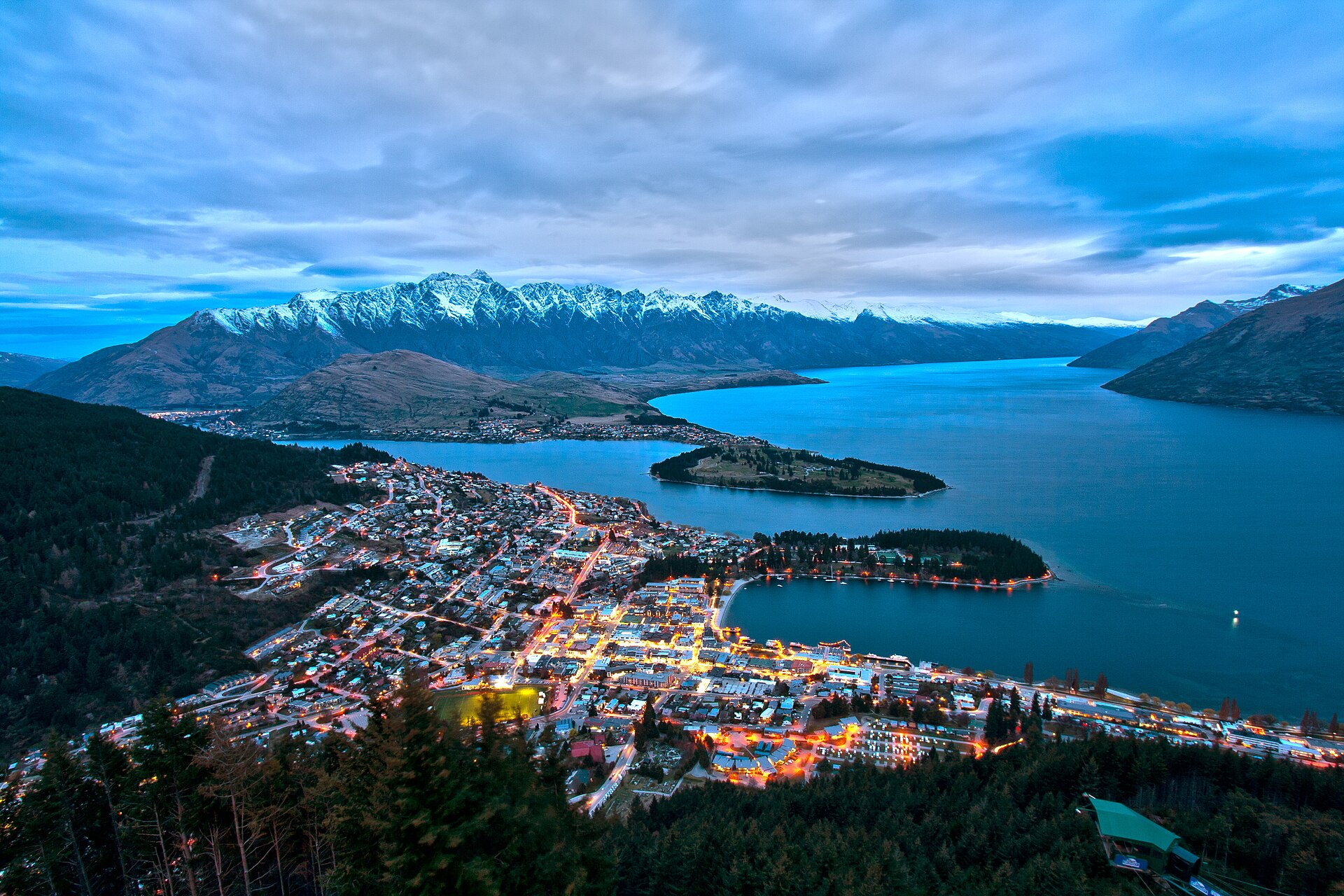
Lake Wakatipu is the large inland lake beside Queenstown, known in te reo Māori as Lake Whakatipu. Its distinctive Z-shaped outline runs through the Otago landscape, with the Remarkables and other steep ranges forming a dramatic backdrop.
Pukekawa / Auckland Domain
Pukekawa / Auckland Domain is Auckland’s central historic park. The principal reason to include it is open lawns, planted gardens, paths, and the wider museum precinct.
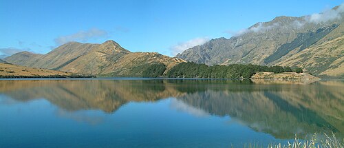
Moke Lake is a quiet scenic lake near Queenstown, set in a glacial valley framed by tussock-covered hills and mountain terrain. The rural setting feels more secluded than the busy lakefront in town.
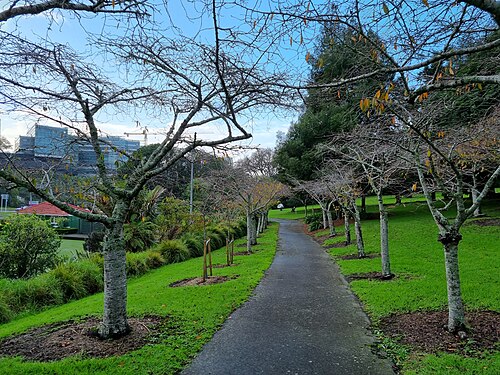
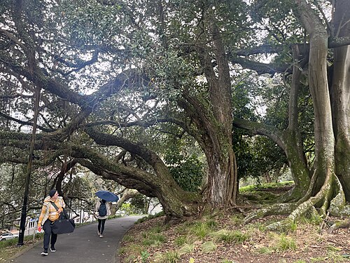
Albert Park is a landscaped central-city park. The principal reason to include it is lawns, mature planting, paths, memorial features, and city-centre views. Its setting is between the university precinct and central Auckland.
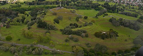
Cornwall Park is a large public park surrounding the lower slopes of Maungakiekie. The principal reason to include it is lawns, mature trees, walking routes, and changing views toward the volcanic cone.
Tāwharanui Regional Park
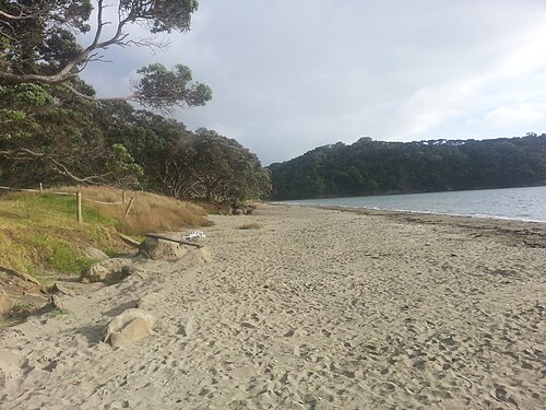
Tāwharanui Regional Park is a coastal regional park managed by Auckland Council, situated on the Tāwharanui Peninsula northeast of Auckland city. The park encompasses beaches, farmland, and regenerating native bush.
Maungatauhoro / Wenderholm Regional Park
Wenderholm Regional Park is a regional park situated north of Auckland on a peninsula where the Puhoi and Waiwera rivers meet the Hauraki Gulf. The park encompasses coastal forest, estuarine environments, and sandy beaches.
Waiwhakaata / Lake Hayes
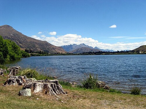
Lake Hayes is a natural lake near Queenstown, surrounded by countryside, grassland and hills. The lake offers a quieter landscape experience than Queenstown’s developed waterfront and works well for travellers who want open space, reflective water and a rural setting.
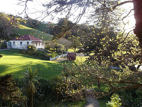
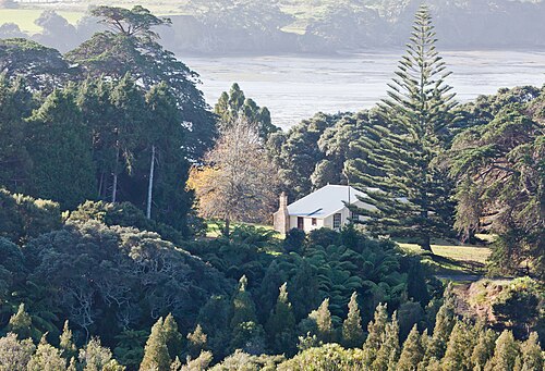
Scandrett Regional Park is a coastal regional park on the northeastern coast of the Auckland region, New Zealand. The park encompasses a historic farm settlement, native bush, and shoreline along Kawau Bay.
Āwhitu Regional Park is a regional park managed by Auckland Council, situated on the Āwhitu Peninsula southwest of central Auckland. The park encompasses coastal landscapes, native bush, and farmland across a significant peninsula area.
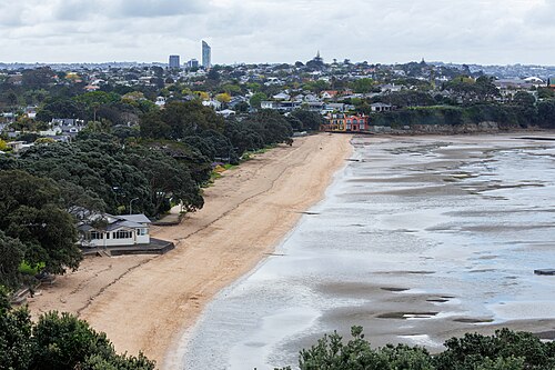
Cheltenham Beach is a sandy beach located on Auckland's North Shore, within the Devonport area. It sits on the northern side of the Waitematā Harbour, offering views across the water toward Rangitoto Island.
Duder Regional Park is a coastal regional park located on the Whakakaiwhara Peninsula in east Auckland. The park encompasses a working farm landscape with pastoral land, native bush remnants, and significant coastline along the Hauraki Gulf.
Te Oneroa ō Kahu / Long Bay Regional Park
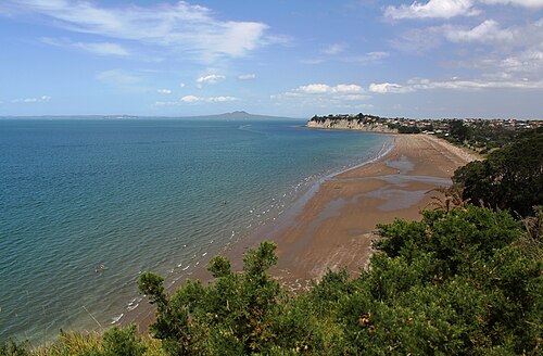
Long Bay Regional Park is a coastal regional park on Auckland's North Shore, managed by Auckland Council. The park encompasses a long sandy beach, headlands, and surrounding native bush.
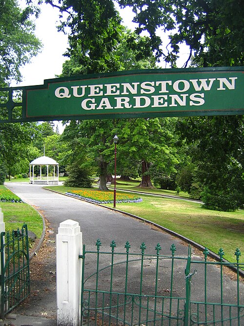
Queenstown Gardens is a public park situated on a peninsula extending into Lake Wakatipu, adjacent to the central town area of Queenstown, New Zealand.
Western Springs Lakeside Park
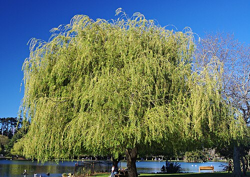
Western Springs Lakeside Park is a public park in Auckland, New Zealand, centred on a natural spring-fed lake.
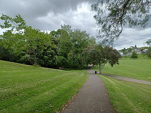
Grey Lynn Park is a public park in the Grey Lynn suburb of Auckland, New Zealand. It is maintained by Auckland Council and listed on the council's official parks directory.
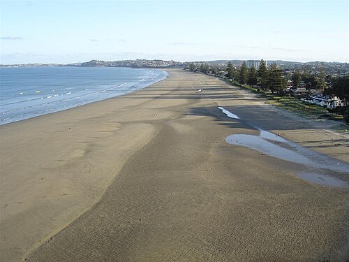
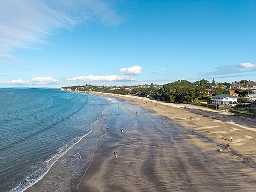
Orewa Beach is a long east-facing beach on Auckland’s Hibiscus Coast, around forty kilometres north of the central city.
Takapuna Beach is a sandy coastal area on Auckland's North Shore, facing the Hauraki Gulf. It serves as a recreational beach for swimming, walking, and general leisure activities.
Waiwera Beach is a coastal stop north of Auckland, beside the small settlement of Waiwera and close to the area’s long association with geothermal bathing.
Earnslaw Park is a public green space in Queenstown, offering an open-air pause within the town’s busy visitor area.
Glenorchy Waterfront Reserve is a scenic public reserve situated at the northern end of Lake Wakatipu in Glenorchy, a small settlement near Queenstown.
Jardine Park is a public park in Queenstown, New Zealand. It adds an outdoor, community-focused stop to a destination better known for lake activities, mountain scenery and adventure sports.
Karekare Beach is a wild black-sand beach on Auckland's west coast, located approximately 35 kilometres from the city centre. It sits within the Waitākere Ranges and forms part of the broader Te Henga coastal area.
Onetangi Beach is a coastal destination on Waiheke Island, part of the Auckland region. The beach stretches along the northern coast of the island, facing the Hauraki Gulf.
Two weeks is a sensible minimum for a limited North-and-South-Island combination; ten days is better spent on one island. Auckland works as the largest gateway and Queenstown as a southern base, but scenic roads and ferry or flight transitions make ambitious mileage deceptive.
Immigration New Zealand determines whether a traveller needs a Visitor Visa, an NZeTA or another permission. Verify the passport, purpose and arrival declaration requirements on its official service before departure; airline check-in is not the place to discover a missing authority.
Domestic flights link major regions, the Cook Strait ferry joins the islands, and coaches, rental cars or selected scenic trains cover ground routes. Driving is on the left, and rural journey estimates should allow for one-lane bridges, weather and viewpoint stops.
December to February suits many summer itineraries, while ski travel targets winter and shoulder seasons can be quieter. Alpine weather changes quickly in every season, so plan around the principal hike, pass or ferry rather than relying on one forecast for both islands.
New Zealand uses the New Zealand dollar. Cards are routine in towns, but a backup method is prudent for remote fuel, small operators or service outages; confirm whether accommodation, ferry and activity prices include booking or card charges.
Dial 111 for police, fire or ambulance; the electrical standard is Type I at 230 V. Treated public tap supplies are recorded as safe, while huts and remote sources need their own posted guidance; carry current road and weather information on long drives.