Check the spelling, or browse the hierarchy from the country page.
City guide · South Korea
Entertainment, Theme: Art in Seoul, South Korea
Seoul is South Korea's capital, spread across both banks of the Han River. The historic palace city lies north of the river around Jongno, Gwanghwamun and Namsa...
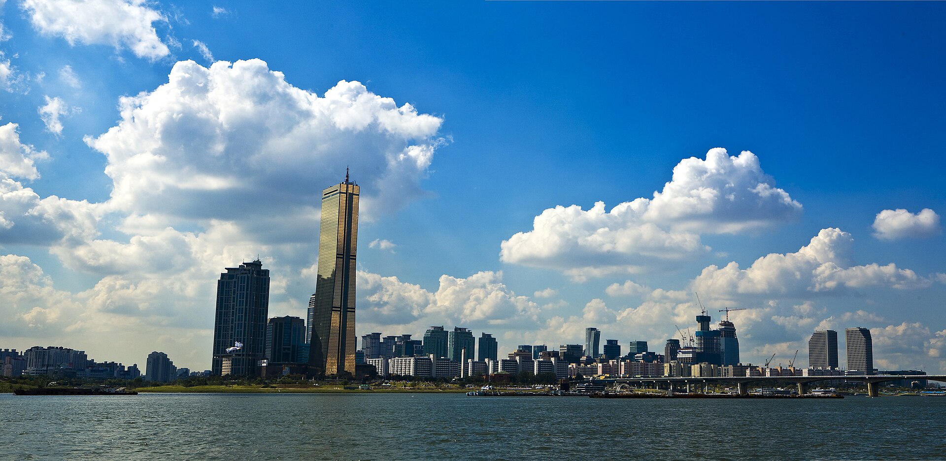
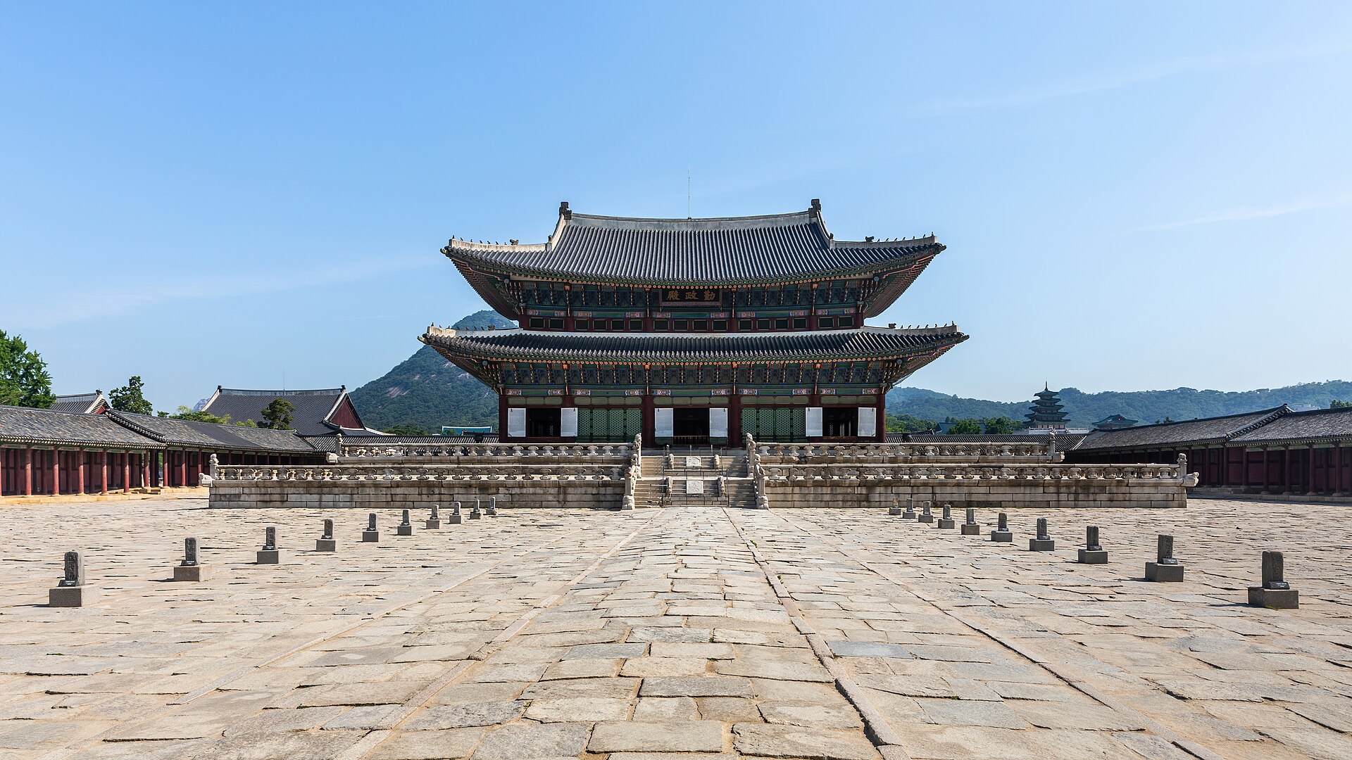
Seoul is South Korea's capital, spread across both banks of the Han River. The historic palace city lies north of the river around Jongno, Gwanghwamun and Namsan, while later commercial and residential centres extend south into Gangnam and east and west along the metropolitan rail corridors. The city is best approached as linked districts rather than one continuous centre: royal palaces and traditional neighbourhoods, central markets and museums, riverside areas, university quarters, and the newer southern business districts each form practical sightseeing clusters.
The list is built from real place data, so an empty result means the combination genuinely has no match — not that the page failed. Loosen one filter and the ranking returns.
The Han River is the clearest dividing line. North of it, the palace-and-Namsan core includes Gwanghwamun, Jongno, Bukchon, Insadong, Dongdaemun and Myeongdong. Westward, Hongdae and the university districts form another cluster; Yeouido occupies an island in the river. South of the Han, Gangnam, Apgujeong and Samseong are modern commercial areas with their own attractions. Seoul's official visitor maps divide suggested routes into the downtown palace and Namsan area, Apgujeong, Gangnam and Samseong, which is a useful way to avoid repeated cross-city travel.
Use the subway as the default between districts and walk within each cluster. Stations and lines are colour-coded, exits are numbered, and major information appears in Korean and English. A Tmoney transport card can be used across the network; single-journey passes are also available from station machines. Buses reach areas beyond convenient rail stops, but the official visitor guide notes that they can be harder for first-time visitors despite colour-coded route types. Check the official transport page for current operating information before travel.
A fixed stay length is not recorded. Allocate time by district: the palace core, central markets and museums, a western neighbourhood such as Hongdae, and the southern districts if they match your interests.
What divides northern and southern Seoul?
The Han River. The older palace city and Namsan are north of it, while Gangnam, Apgujeong and Samseong form major visitor clusters on the south side.
Is Seoul's subway suitable for first-time visitors?
Yes. Lines are colour-coded, station exits are numbered, and major signs use Korean and English. The official tourism guide recommends the subway as one of the most efficient ways to cross the city.
Should I use buses or the subway?
Use the subway for most cross-city journeys. Buses are useful for areas between stations, but route information can be less intuitive for a first visit even though services are colour-coded.
Can I cover the palaces and Gangnam in one walking route?
No. They sit in different city clusters on opposite sides of the Han River. Use the subway between them and reserve walking for the sights within each district.
Cookie choices
Advertising is currently off. Where consent is required, optional cookies wait for your choice. Declining switches analytics off.