.jpg)
21 min walk
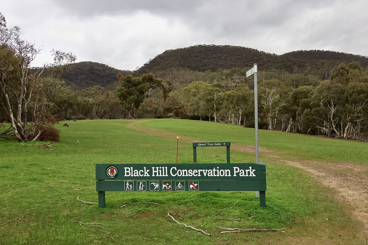
Black Hill Conservation Park
- Must see
- Nature site
Language · 11 published
Nature site · Adelaide
Reviewed by Elena Voss · Roavina Travel Editor

Read from the OpenStreetMap access tags; anything not listed has no tag recorded.
Set the group type to family in the planner and the day window contracts to about three quarters of a solo day.
River Torrens Linear Park is a public open space corridor following the River Torrens through Adelaide. It forms part of the broader Adelaide Park Lands system, which encircles the city centre. The park creates a green spine connecting various precincts along the waterway. As a linear park, it serves recreational and ecological functions rather than operating as a contained traditional park with defined boundaries. The space reflects Adelaide's planned colonial design incorporating park lands around the urban core. Open daily with continuous public access; no gated opening or closing hours.
Checked 2026-08-31 · Source
The linear park contains walking and cycling paths along the river corridor. Vegetation varies along its length, with some sections featuring established trees and others more open grassed areas. Bridges cross the river at various points, connecting different precincts. The park passes near cultural institutions and sporting facilities. Water features include the river itself, with some stretches modified for flood management. Wildlife habitat exists in vegetated sections. The park's contents change along its length rather than presenting uniform features throughout.
Checked 2026-08-31 · Source
The linear park extends for a considerable distance following the River Torrens from its foothills origins toward the sea. The exact length depends on which segments visitors traverse, as the park connects multiple suburbs and precincts. Walking the full extent would require substantial time, while shorter sections suit casual visits. Cyclists cover distance more quickly. Visitors should assess their fitness and available time when planning which section to explore. Free public access; there is no general admission charge for walking, running or cycling.
Checked 2026-08-31 · Source
The linear park is public open space without gated entry, suggesting daytime use is typical. Seasonal variations affect experience: summer brings heat requiring sun protection and hydration; winter offers cooler conditions but possible rain. Spring and autumn provide moderate temperatures. Dawn and dusk periods offer different lighting and wildlife activity. It is served by. Open daily with continuous public access; no gated opening or closing hours. For a named public-transport arrival point on the central-western section, use Bonython Park Tram Stop, stop code 17990, near 79 Port Road, Thebarton. It is served by the BTANIC and GLNELG tram routes and.
Checked 2026-08-31 · Source
As public park land, no entry fee is anticipated for general access. Any specific facilities within or adjacent to the park may operate separate fee structures. Visitors should verify whether particular activities, equipment hire, or events require payment. Free public access aligns with the park's function as communal open space within the Adelaide Park Lands system. Free public access; there is no general admission charge for walking, running or cycling. The City of Adelaide section of the Torrens Linear Trail is fully bituminised. Many Park Lands paths are suitable for wheelchairs and prams.
Checked 2026-08-31 · Source
Access points exist at multiple locations along the river corridor. Public transport serves various precincts near the park, with specific routes varying by entry point. The linear nature means no single arrival point; visitors choose based on intended section. Cycling provides access via connected path networks. For a named public-transport arrival point on the central-western section, use Bonython Park Tram Stop, stop code 17990, near 79 Port Road, Thebarton. It is served by the BTANIC and GLNELG tram routes and provides access through Bonython Park to the riverside trail. Many Park Lands paths are suitable for wheelchairs and prams.
Checked 2026-08-31 · Source
Cyclists and pedestrians share paths in sections, requiring mutual awareness. Flood conditions after heavy rain may affect lower-lying areas and path usability. Uneven surfaces or tree roots present trip hazards on natural paths. Limited shade in open stretches necessitates sun protection. Water safety applies near the river; swimming is not the park's primary function. The City of Adelaide section of the Torrens Linear Trail is fully bituminised. Accessibility varies along the full cross-council route, and some major-road crossings are difficult. Accessible facilities, toilets, drinking fountains, picnic areas, shelters and seating are available at locations along the park.
Checked 2026-08-31 · Source
The river corridor offers landscape photography opportunities with water, vegetation, and urban elements. Bridge structures provide architectural interest and vantage points. Lighting varies throughout the day, with morning and evening offering softer conditions. The linear nature allows sequential documentation of changing environments. Reflections in calmer water sections create compositional possibilities. Seasonal changes affect foliage colour and density. Cyclists and pedestrians may enter frames on shared paths. Tripods on narrow paths require consideration of other users. Accessible facilities, toilets, drinking fountains, picnic areas, shelters and seating are available at locations along the park.
Checked 2026-08-31 · Source
The park extends for about 32 kilometres along both sides of the River Torrens.
It runs from the Adelaide foothills at Athelstone to the river mouth at West Beach and Henley Beach.
The public corridor supports walking, running, cycling, dog walking and play.
Facilities across the park include approximately 92 kilometres of walkways, toilets, drinking fountains, barbecues, picnic areas, playgrounds and benches.
The park crosses nine council areas, and each council manages the Linear Park assets within its own boundary.
Yes. The underpass between McDonnell Avenue and West Hindmarsh Cemetery is temporarily closed, with a signed pedestrian and cyclist detour in place.
Loading the interactive map…
The interactive map could not be loaded.

Last updated:
Source: OpenStreetMap contributors, Wikidata ·