


3 min walk
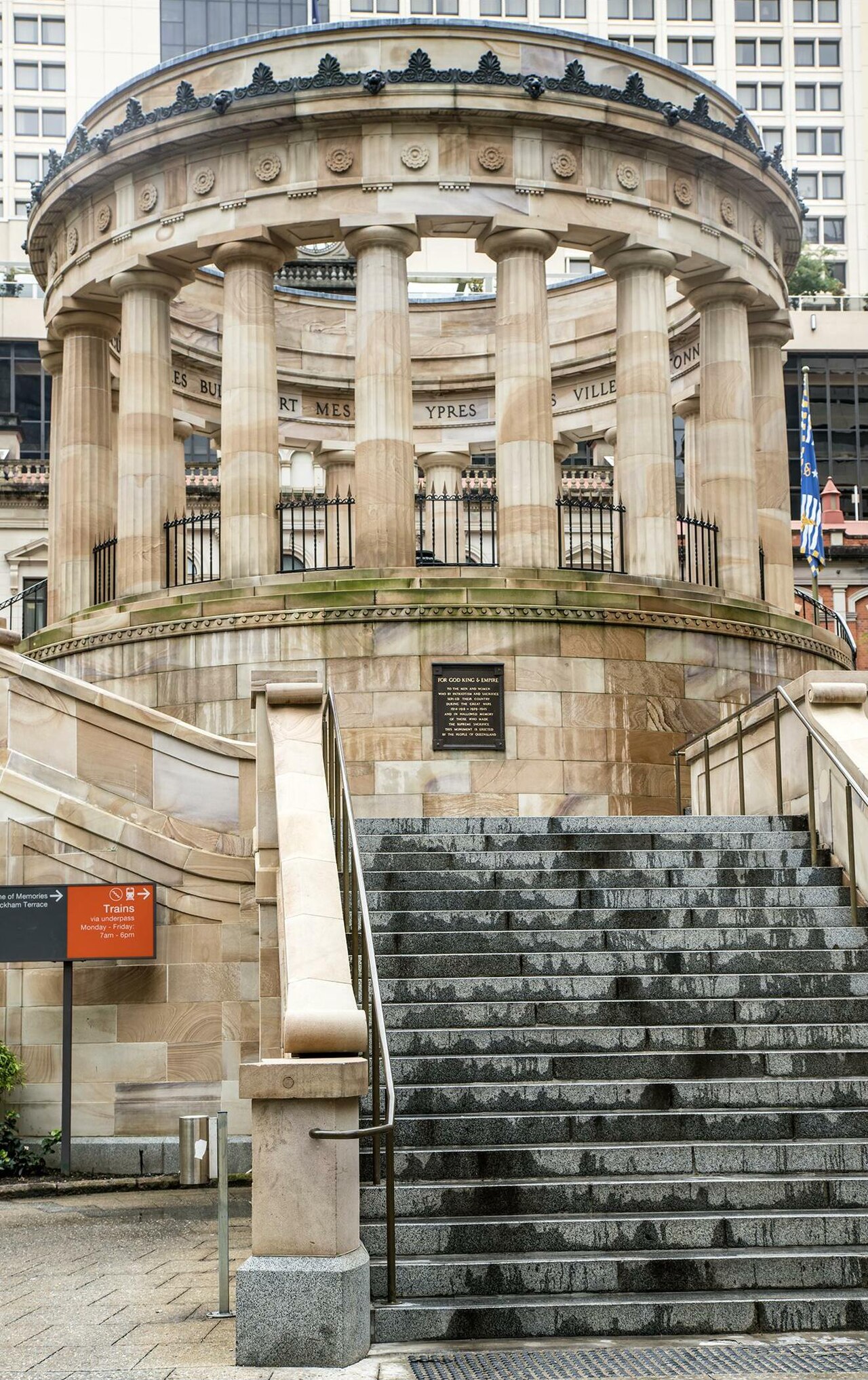
Shrine of Remembrance, Brisbane
- Must see
- Historic site
Museum · Brisbane
| Monday | 09:30 – 16:00 |
|---|---|
| Tuesday | 09:30 – 16:00 |
| Wednesday | 09:30 – 16:00 |
| Thursday | 09:30 – 16:00 |
| Friday | 09:30 – 16:00 |
| Saturday | Closed |
| Sunday | Closed |
Checked 2026-08-31 · Source

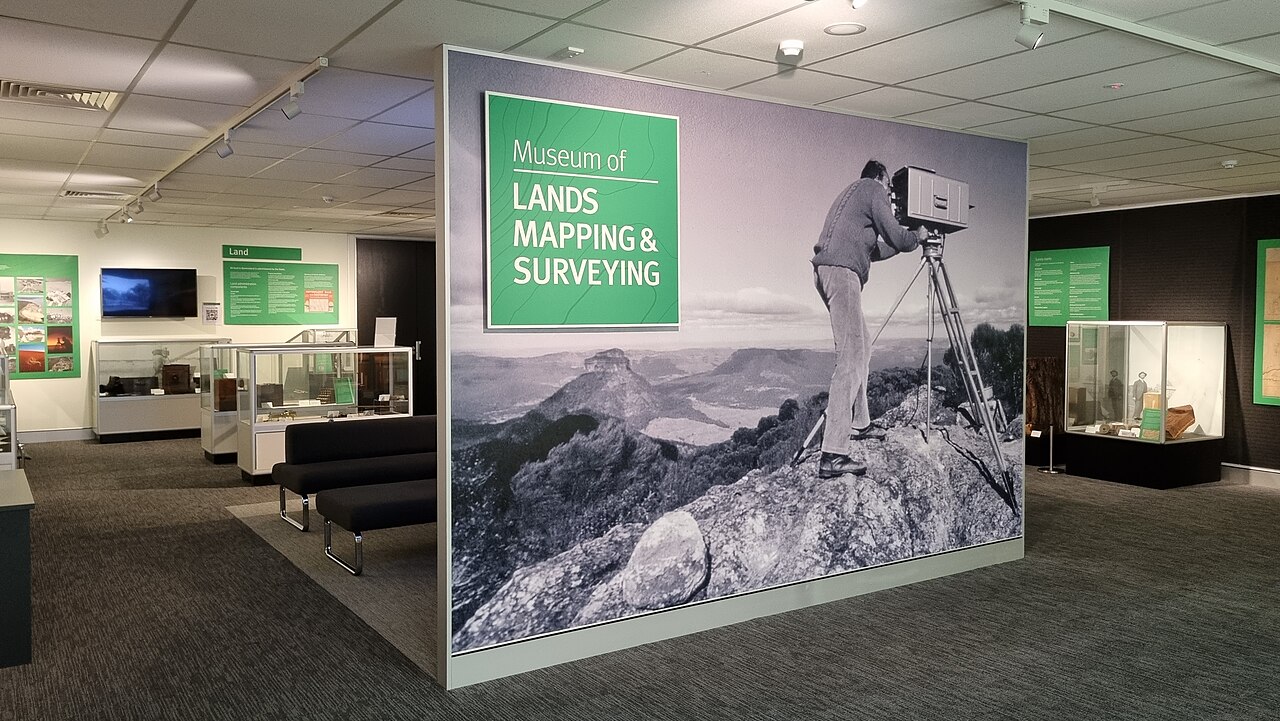
The Museum of Lands, Mapping and Surveying is a specialist museum in Brisbane dedicated to the history of land administration, cartography, and surveying in Queensland. It preserves and displays instruments, maps, and documents that illustrate how the state's territory was measured, divided, and documented from colonial times onward. The collection serves as a repository of technical heritage, reflecting the evolution of geospatial sciences and their foundational role in Queensland's development.
Checked 2026-08-31 · Source
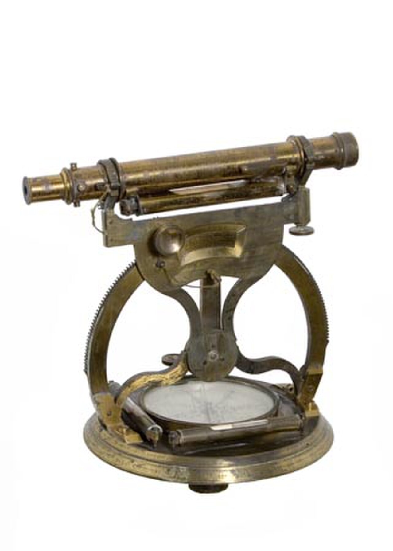
Exhibits comprise historical surveying equipment including theodolites, chains, plane tables, and early distance-measuring devices. Maps and plans demonstrate changing cartographic techniques and territorial knowledge. Documents and archives relate to land tenure, pastoral expansion, and urban subdivision. The collection includes artefacts from both government and private surveying operations. Visitors should expect a traditional museum presentation focused on material culture and documentary evidence rather than immersive or multimedia installations.
Checked 2026-08-31 · Source
A thorough visit typically requires between forty-five minutes and ninety minutes, depending on individual interest in technical instruments and historical documents. Those with professional or academic backgrounds in surveying, geography, or history may spend longer examining specific artefacts. Casual visitors passing through Brisbane's cultural precinct may find a shorter visit sufficient. Visitors should allocate time flexibly and be prepared for self-directed exploration without structured pacing assistance.
Checked 2026-08-31 · Source
Seasonal considerations for Brisbane include subtropical humidity from November through March, which may affect comfort when travelling to the museum location. The city's mild winter months from June to August generally offer more pleasant conditions for walking and outdoor transit between cultural venues. Monday–Friday 09:30–16:00; Saturday–Sunday closed. Closed on public holidays and Queensland Government closure days.
Checked 2026-08-31 · Source
Free general admission.
Checked 2026-08-31 · Source
The museum is situated within Brisbane's central administrative and cultural district, accessible via the city's integrated public transport network. Multiple bus routes service the surrounding area, and the nearest railway stations are within reasonable walking distance. The location connects to Brisbane's pedestrian and cycling infrastructure. Central station is the named rail arrival point, served by Brisbane’s T1–T6 lines, including the T5 Brisbane Airport service. From Central station, follow Edward Street west to number 317, between Turbot Street and Wickham Terrace. Translink reports a lift outage affecting Central station platforms 5 and 6 from 27 April 2026; the other platforms remain listed without that alert.
Checked 2026-08-31 · Source
The museum's specialist focus may not suit visitors seeking broad historical narratives or family-oriented interactive experiences. Children and those without technical interest may find content specialised. Visitors should observe any posted regulations upon arrival and respect institutional protocols governing heritage collections and government premises. Disabled access is listed for the museum.
Checked 2026-08-31 · Source
Many heritage institutions prohibit photography of works under copyright or donor-imposed restrictions. Visitors wishing to photograph should seek clarification from staff upon entry rather than assuming permission.
Checked 2026-08-31 · Source
It explains how surveying, mapping and land administration developed in Queensland, from historical mapping methods to aerial imagery.
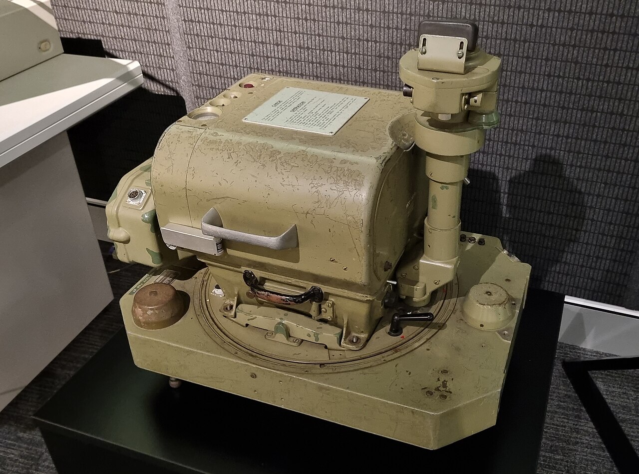
The collections include cadastral, parish, topographic and early-exploration maps, historical survey plans, photographs, flood maps, original artworks and surveying instruments.
Yes. The department provides research advice by appointment through its online request form.
The exhibition is on the ground floor of 317 Edward Street, between Turbot Street and Wickham Terrace.
Yes. The department provides historical map scans through Queensland Globe and the Queensland Government Open Data portal.
The responsible Queensland Government department describes it as the only museum of its kind in Australia.
Loading the interactive map…
The interactive map could not be loaded.

Last updated:
Source: OpenStreetMap contributors, Wikidata ·