

109 min walk
Homestead bar
- Notable
- Nightlife venue
Language · 11 published
Nature site · Perth
Reviewed by Elena Voss · Roavina Travel Editor

This place is a Nature reserve. It was established in 1898. It carries the State Registered Place heritage designation. It is run by Department of Parks and Wildlife.
John Forrest National Park is a protected bushland area in Perth’s Darling Range, offering a close-to-the-city escape into jarrah and marri forest. Established in 1900, it is one of Western Australia’s oldest national parks. Granite outcrops, seasonal waterfalls and heritage traces give the landscape more variety than a simple forest walk. The park suits visitors who want walking, wildlife observation, cycling and a picnic in a natural setting without leaving the Perth metropolitan region. John Forrest National Park is a protected area in the Perth metropolitan region of Western Australia. It is one of the oldest national parks in the state, established in 1900. The park lies within the Darling Range and encompasses significant areas of jarrah forest, granite outcrops, and seasonal waterfalls. It is named after Sir John Forrest, the first Premier of Western Australia. The park serves as a recreational destination for bushwalking, cycling, and nature observation within accessible reach of the city centre. The park offers family-appropriate picnic areas and shorter walking trails. Parents should assess individual trail difficulty and supervise children near water features and steep terrain.
Checked 2026-08-26 · Source
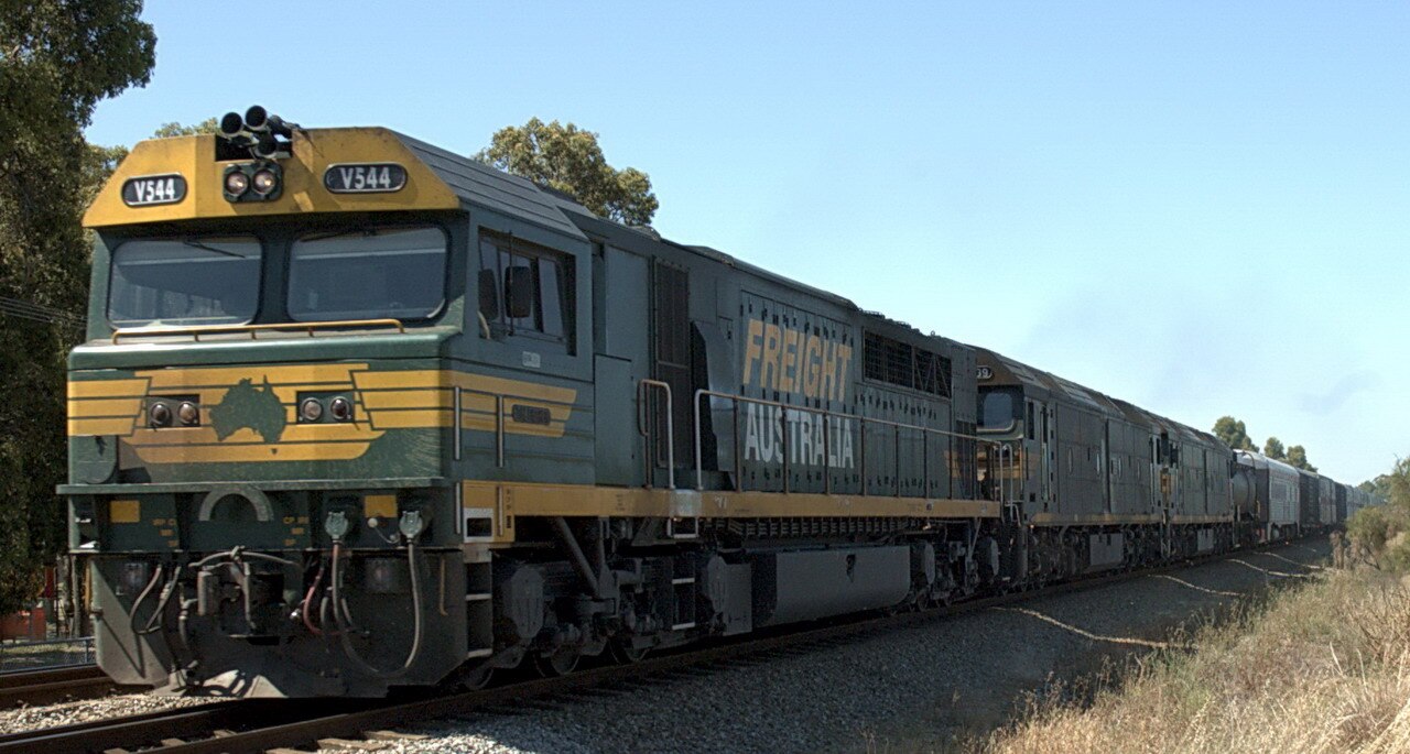
The park’s main attractions are its bushwalking landscape, granite formations, seasonal waterfalls and the former Swan View Railway tunnel. Hovea Falls and National Park Falls are most rewarding after substantial rainfall, while the forest remains attractive when the watercourses are dry. Walking routes range from shorter outings to longer circuits across uneven ground. Designated picnic areas provide a place to pause between activities. Birdlife, kangaroos and other native animals may be encountered among the jarrah and marri trees. The park contains natural features including Hovea Falls and National Park Falls, which flow seasonally following rainfall. Granite outcrops and boulders are scattered throughout the terrain. The vegetation consists predominantly of jarrah and marri forest with understory shrubs.
Checked 2026-08-26 · Source
Allow two to three hours for one selected walk, time at a waterfall or railway tunnel, and a picnic. A broader visit can occupy five to six hours if you combine several trails with photography and wildlife watching. Your pace will be slower on steep or rocky sections, especially after rain. The park works well as either a half-day excursion from Perth or a full-day outdoor plan when you want several different landscapes in one visit.
Checked 2026-08-26 · Source
Spring is a strong choice for wildflowers and fresh bushland colour. Winter and early spring offer the best opportunity to see the seasonal waterfalls carrying water, although paths and granite surfaces can become slippery. Summer visits are more comfortable early in the day, before heat builds across the forest. Early morning also improves the chance of seeing wildlife. The park can be worthwhile in every season, but rainfall, heat and fire conditions directly shape the experience.
Checked 2026-08-26 · Source
Plan the visit around the park’s outdoor attractions rather than a ticketed exhibition. If you are driving, keep your visit flexible because your main activities are walking, viewing natural features and using designated picnic areas. The absence of a recorded price here means no amount should be included in a travel budget for entry.
Checked 2026-08-26 · Source
The park lies east of Perth and is reached by road from the Great Eastern Highway and local roads. A private vehicle is the most straightforward way to connect the entrance, parking areas and trail locations. The former John Forrest National Park railway station provides a historic link to the area’s rail past, although reaching walking routes still involves distance on foot. Cycling is possible for experienced riders comfortable with Darling Range terrain and changing road conditions.
Checked 2026-08-26 · Source
Carry enough drinking water because streams and waterfall pools are natural features, not drinking supplies. Snakes are part of the bushland environment, particularly during warmer weather, so stay alert and use suitable footwear. Granite can be slippery when wet, and some trails include steep sections. Mobile reception may vary in valleys and remote stretches. Heat, sun exposure and seasonal fire conditions can affect the day, so choose a route that matches your fitness and the weather.
Checked 2026-08-26 · Source
Use the jarrah canopy, granite boulders, railway tunnel and seasonal waterfalls as the park’s strongest photographic subjects. Spring adds wildflower detail, while overcast weather brings softer light into the forest. Waterfall compositions depend on rainfall, so the same viewpoint can look dramatically different across the year. A tripod helps in the shaded forest and tunnel, but uneven ground calls for careful placement. Keep distance from wildlife and leave plants, rocks and heritage features undisturbed.
Checked 2026-08-26 · Source
Families can combine a shorter bushwalk with a picnic, forest wildlife watching and a visit to seasonal waterfall or railway-tunnel features. Steep ground and water areas require close supervision.
The main natural features are jarrah and marri forest, granite outcrops, Hovea Falls and National Park Falls. The waterfalls are seasonal and are strongest after rainfall.
Winter and early spring generally provide the best chance of seeing flowing water. Their appearance depends on recent rainfall, so flow can vary substantially between visits.
Yes. The former Swan View Railway tunnel forms part of a heritage trail and adds a historic element to the park’s forest and waterfall scenery.
Cycling is part of the park’s recreational use, but riders should choose routes appropriate to the terrain. Walking trails vary, and not every route is suitable for bicycles.
Carry sufficient drinking water, sun protection and footwear suited to uneven or slippery ground. A route plan and a way to contact others are useful where reception varies across the park.
Loading the interactive map…
The interactive map could not be loaded.
Last updated:
Source: OpenStreetMap contributors, Wikidata ·