
17 min walk · Döbling
Neuberg
- High
- Viewpoint
Language · 11 published
Viewpoint · Döbling, Vienna
Reviewed by Elena Voss · Roavina Travel Editor
This place is a Peak.
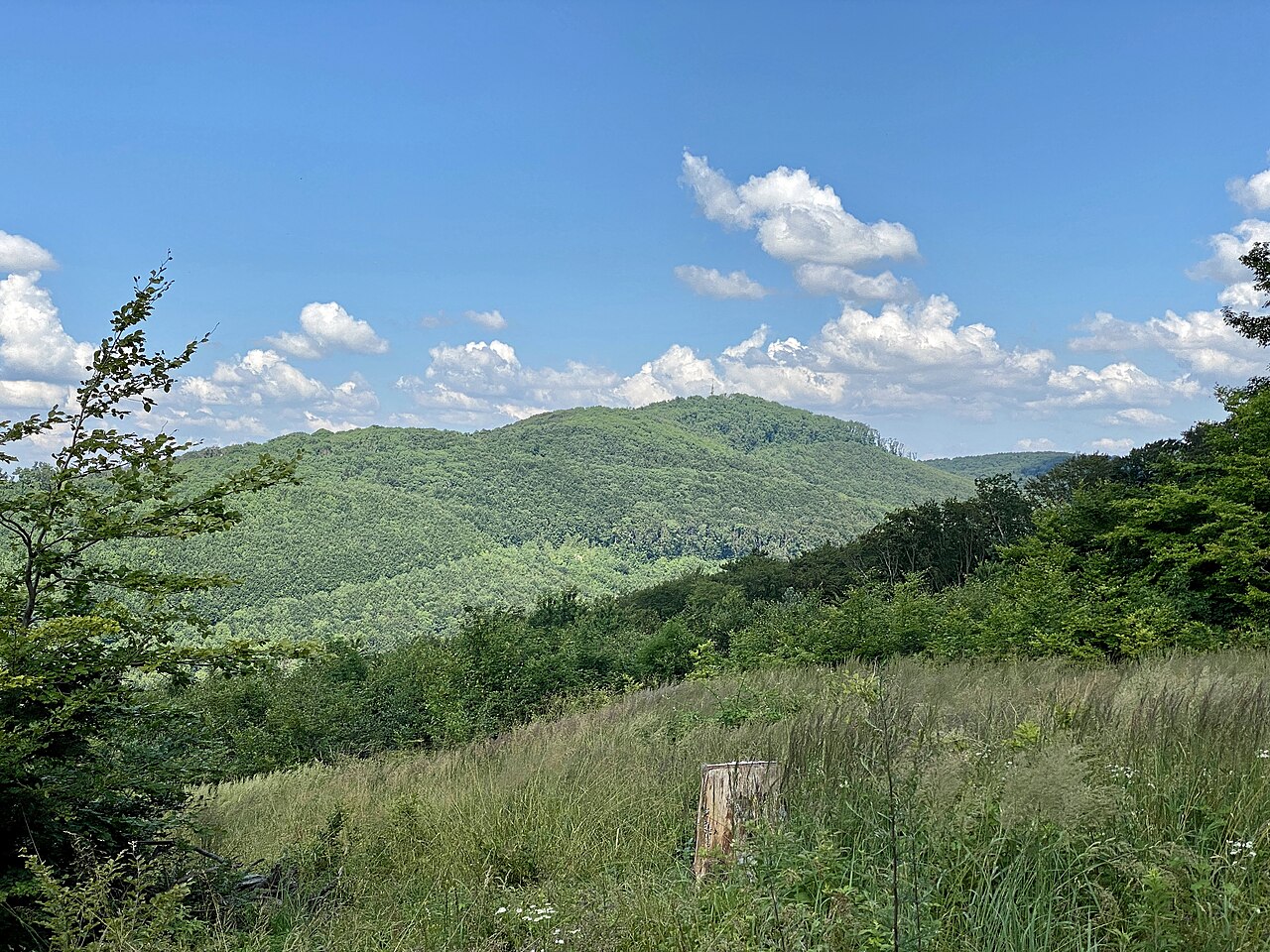
Hermannskogel is, at 542 metres, the highest point within Vienna's city limits, standing in the Vienna Woods north of the built-up city and topped by a stone lookout tower, the Habsburgwarte.
The tower was built in 1888 to mark the fortieth anniversary of Emperor Franz Joseph I's accession to the throne, and its viewing platform remains the highest publicly accessible vantage point in Vienna.
Unlike the neighbouring Leopoldsberg and Kahlenberg, Hermannskogel carries no church or restaurant on its summit — the tower itself, reached through forest rather than by road, is the destination.
The hill sits within the wider Vienna Woods forest that rings the city's northwestern edge, and its summit marks the point where that forest is at its wildest and least developed within the city boundary.
Vienna is unusual among European capitals for how much of its administrative area is covered by continuous forest, and Hermannskogel's summit is the highest single point of that forest within the city itself.
Checked 2026-08-24 · Source
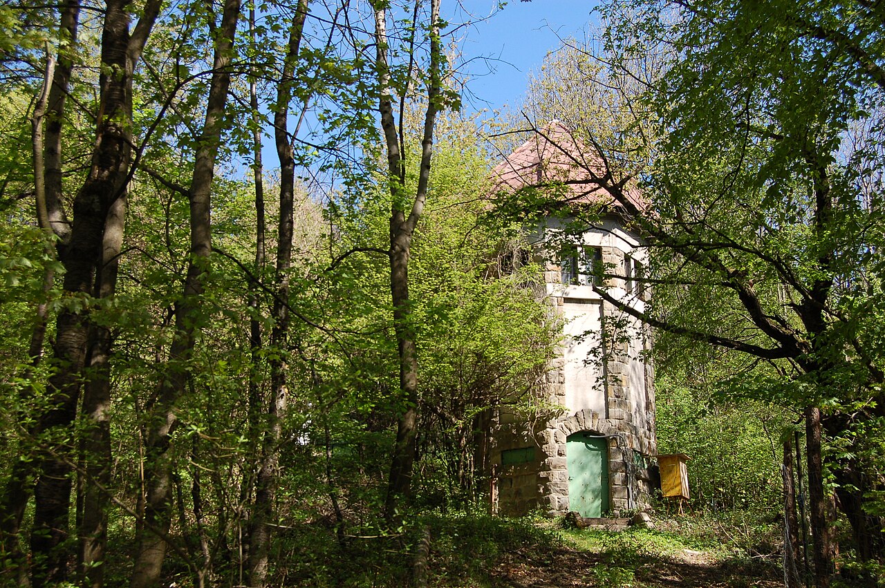
The Habsburgwarte is a stone tower with an internal staircase leading to an open viewing platform above the forest canopy; no lift or attendant is on site, so the climb is on foot the whole way.
From the platform, the view runs south over Vienna to the Danube and, on a clear day, north and west across the wooded hills of the Vienna Woods toward Lower Austria — a wider, more rural outlook than the city-facing terraces at Leopoldsberg or Kahlenberg.
The stone tower itself is a modest, single-purpose structure rather than a landmark building: no café, shop or facilities sit at its base, and the surrounding clearing is simply forest edge.
Checked 2026-08-24 · Source
The climb up the tower itself takes only ten minutes, but reaching the summit is a forest walk rather than a drive-up stop: allow one to two hours round trip on foot from the nearest trailheads at Cobenzl, Sievering or Salmannsdorf, depending on the route chosen.
Checked 2026-08-24 · Source
A clear day is essential here, since the whole point of the climb is the view; a hazy or overcast afternoon leaves little to see from the platform.
Weekday mornings are quiet; the trailheads fill with hikers, runners and cyclists on fine weekends, particularly in autumn when the beech forest around the summit turns colour.
Winter can leave the approach trails icy, since they sit in shaded forest rather than open ground, and the tower's stone steps get slippery in freezing conditions — sturdier footwear than for a paved city walk is worth packing whatever the season.
Checked 2026-08-24 · Source
The tower and the surrounding forest are free and open without a gate or fixed hours; there is no ticket booth, since the site is an unstaffed public lookout reached on foot.
Nothing is sold on site, so there is no admission fee, no donation box and no facility of any kind to pay for at the summit itself.
Checked 2026-08-24 · Source
There is no direct bus to the summit. The usual approach is bus 38A to Cobenzl or Sievering, from where marked hiking trails climb through forest to the tower.
Salmannsdorf, reached by tram 41 and a connecting bus, is a second common starting point on the hill's western side.
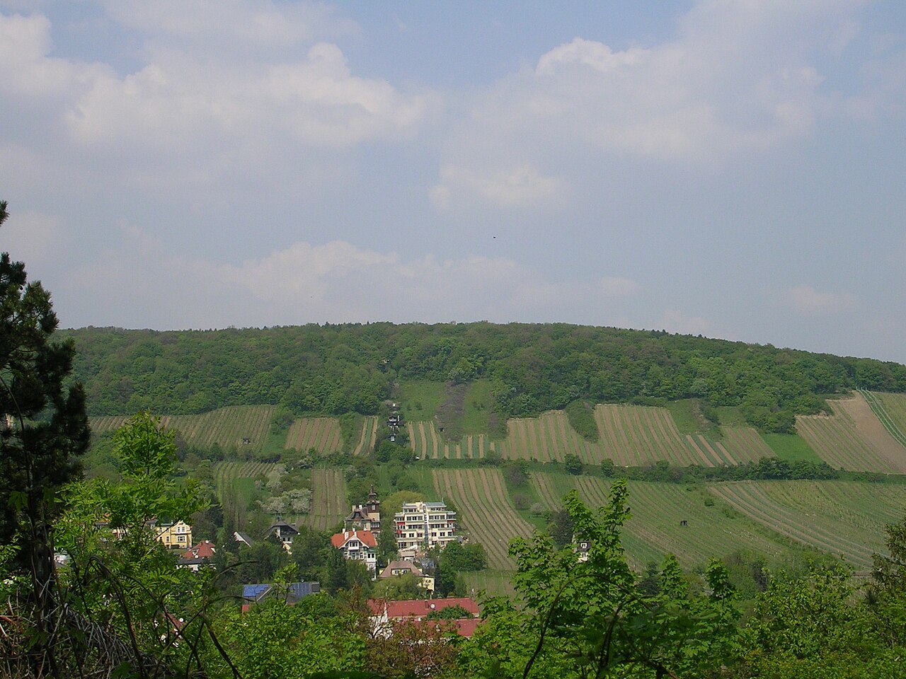
The routes from Cobenzl and Sievering both pass through mixed farmland and vineyard edges before entering the forest proper, which makes the walk itself, not only the summit, part of the appeal for local hikers.
Checked 2026-08-24 · Source
The approach trails are forest paths rather than paved walkways, with roots and, after rain, mud; ordinary walking shoes are enough in dry weather but the climb is not stroller- or wheelchair-accessible.
The tower's internal stair is narrow with no passing space, so it can back up briefly on a busy weekend; there is no lighting inside, which matters for anyone timing a visit close to dusk.
There is no food or water sold anywhere on the hill, unlike Leopoldsberg and Kahlenberg, so anyone climbing here should carry their own, and mobile signal can be patchy under the forest canopy for anyone relying on a phone map to navigate the trail junctions.
Checked 2026-08-24 · Source
The platform gives a near-360-degree view, so both the city-facing and forest-facing sides are worth shooting; the clearest long-distance shots toward the city come on cold, dry days when haze is lowest, often in winter.
The stone tower itself, seen from the approach trail rising above the treeline, is the hill's most recognisable single shot, and photographing it from the base looking straight up the stairwell captures the tower's simple, functional design better than an exterior shot alone.
Checked 2026-08-24 · Source
Yes, at 542 metres it is the highest point within the city's administrative limits, marked by the Habsburgwarte tower on its summit.
No. The summit is reached only on foot, through forest, from trailheads such as Cobenzl, Sievering or Salmannsdorf; there is no road to the tower.
No. The Habsburgwarte and the summit are free and unstaffed, open at any time.
1888, to mark the fortieth anniversary of Emperor Franz Joseph I's accession to the throne.
Around one to two hours round trip from the nearest trailheads, depending on the route; the tower climb itself takes about ten minutes.
No. The approach is a forest path with roots and, after rain, mud, and the tower's internal stair is narrow with no lift.
Loading the interactive map…
The interactive map could not be loaded.
Last updated:
Source: OpenStreetMap contributors, Wikidata ·