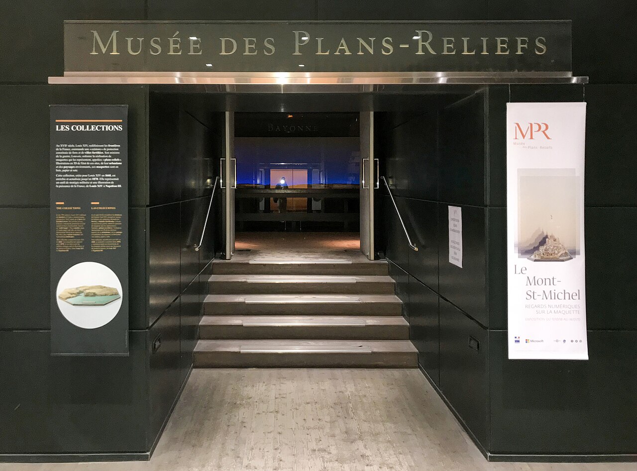
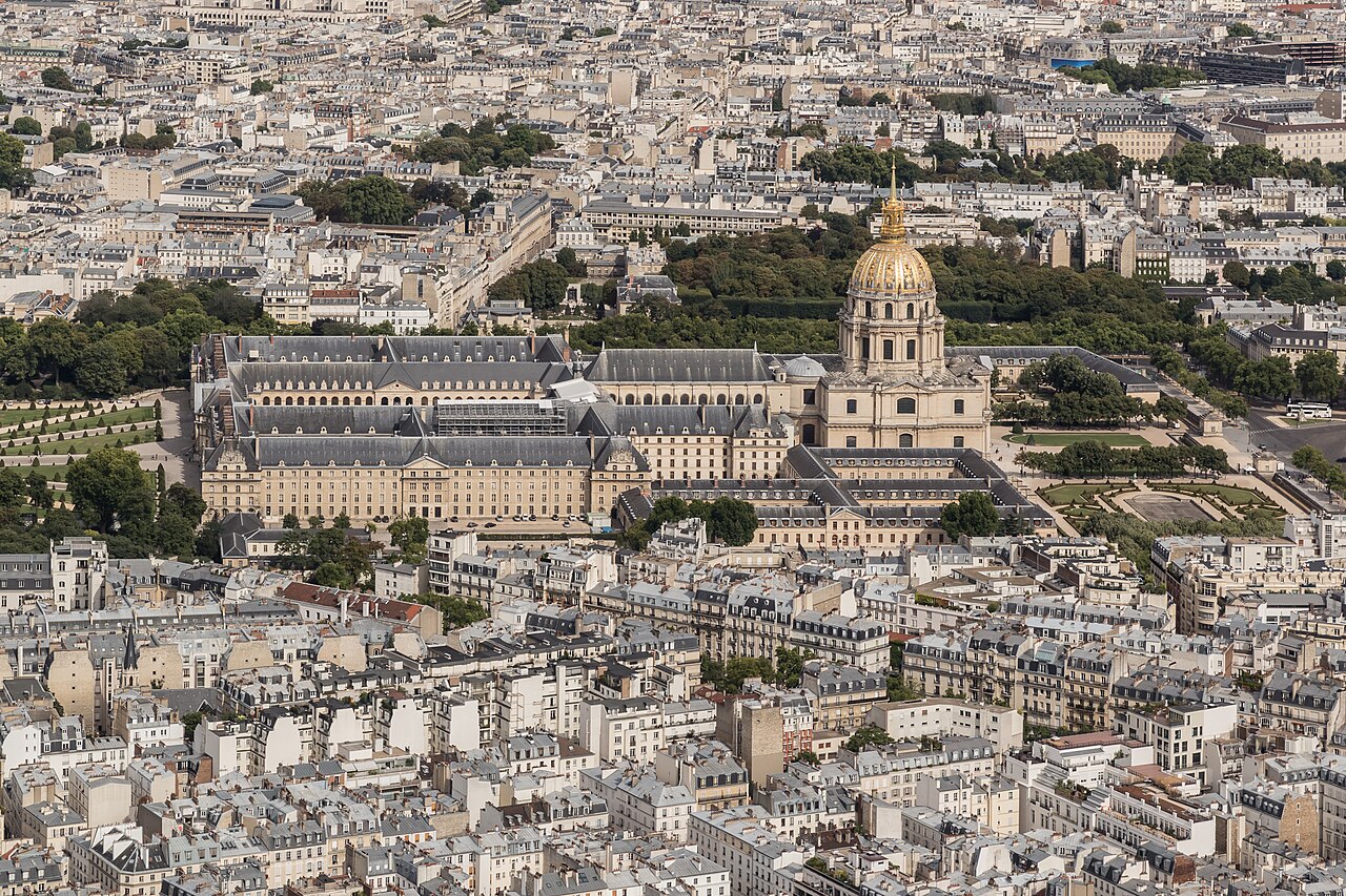
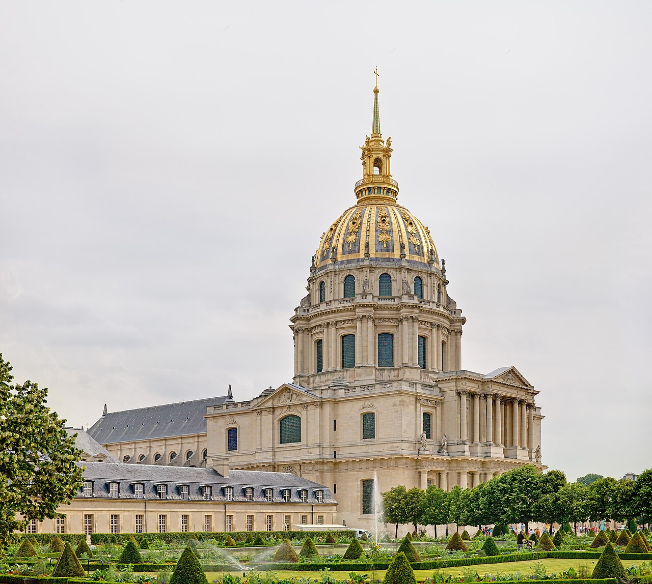
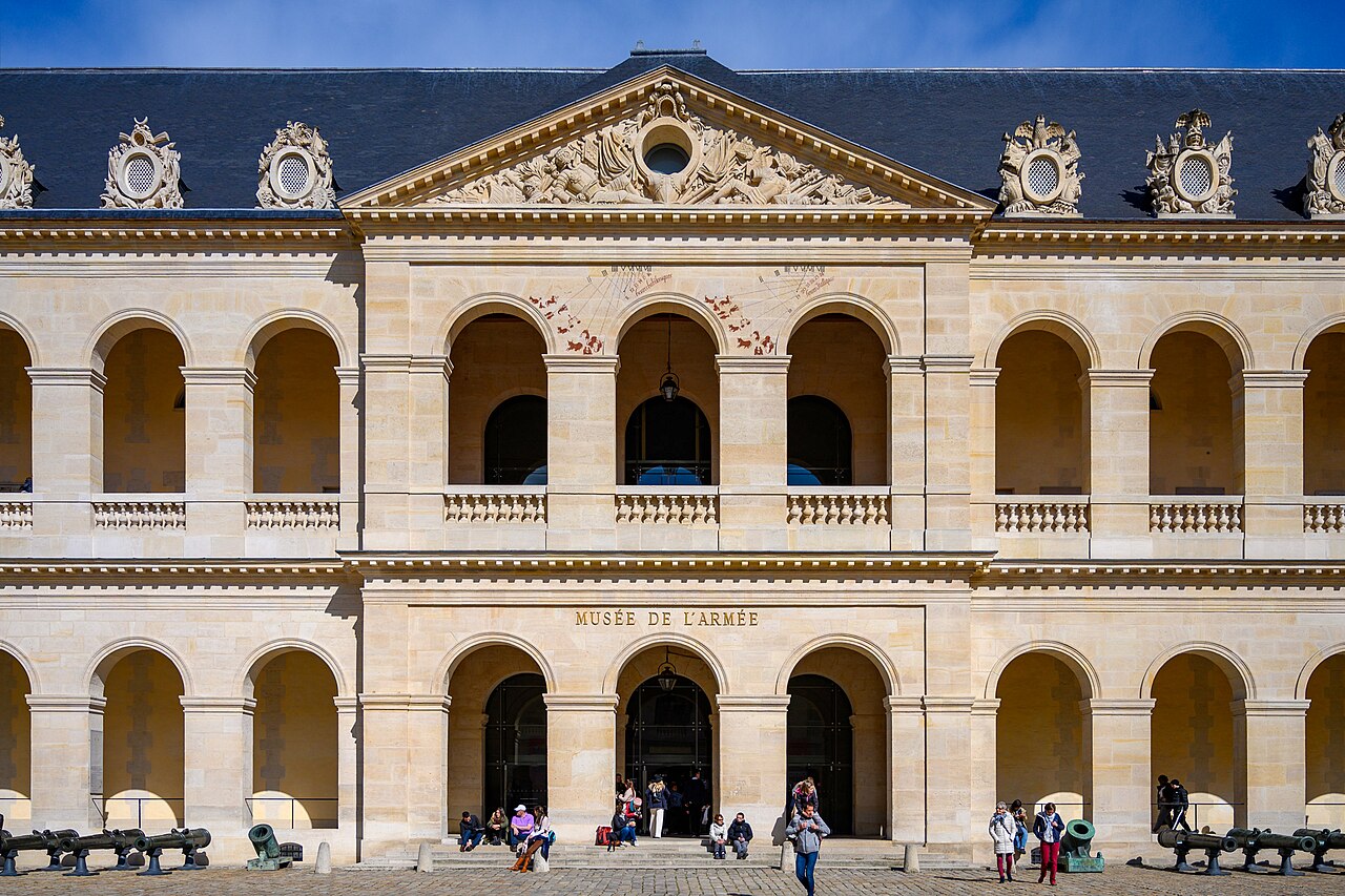
Musée des Plans-Reliefs is a specialist museum in Paris’s Hôtel national des Invalides. It preserves a collection of three-dimensional models of fortified towns and their surrounding landscapes, made for military planning from the reign of Louis XIV to that of Napoleon III. The museum’s holdings include more than one hundred historical models, together with maps, plans, drawings and related documentary material. The relief maps were practical instruments: they helped military engineers study fortifications, assess a site’s weaknesses and prepare improvements or siege operations. Their scale models also record changing urban forms, defensive systems and landscapes across France and parts of Europe. The collection was formed from the late seventeenth century to the late nineteenth century and was classified as a historic monument in 1927. Today, the museum offers a focused way to explore the links between cartography, architecture, military history and the development of cities. It occupies part of the Invalides complex in Paris’s 7th arrondissement, near the Army Museum and the Tomb of Napoleon.
Nothing non-essential is set before you choose, in regions where consent is required. If you decline, ads still appear and analytics is switched off entirely.
.jpg)