
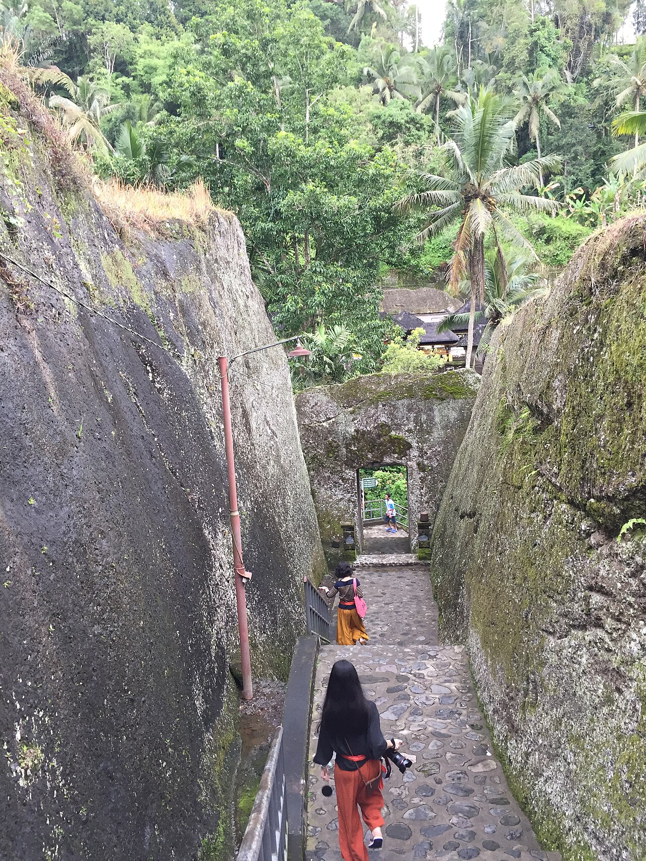
47 min walk
Pura Gunung Kawi
- Must see
- Place of worship
Activity · Denpasar
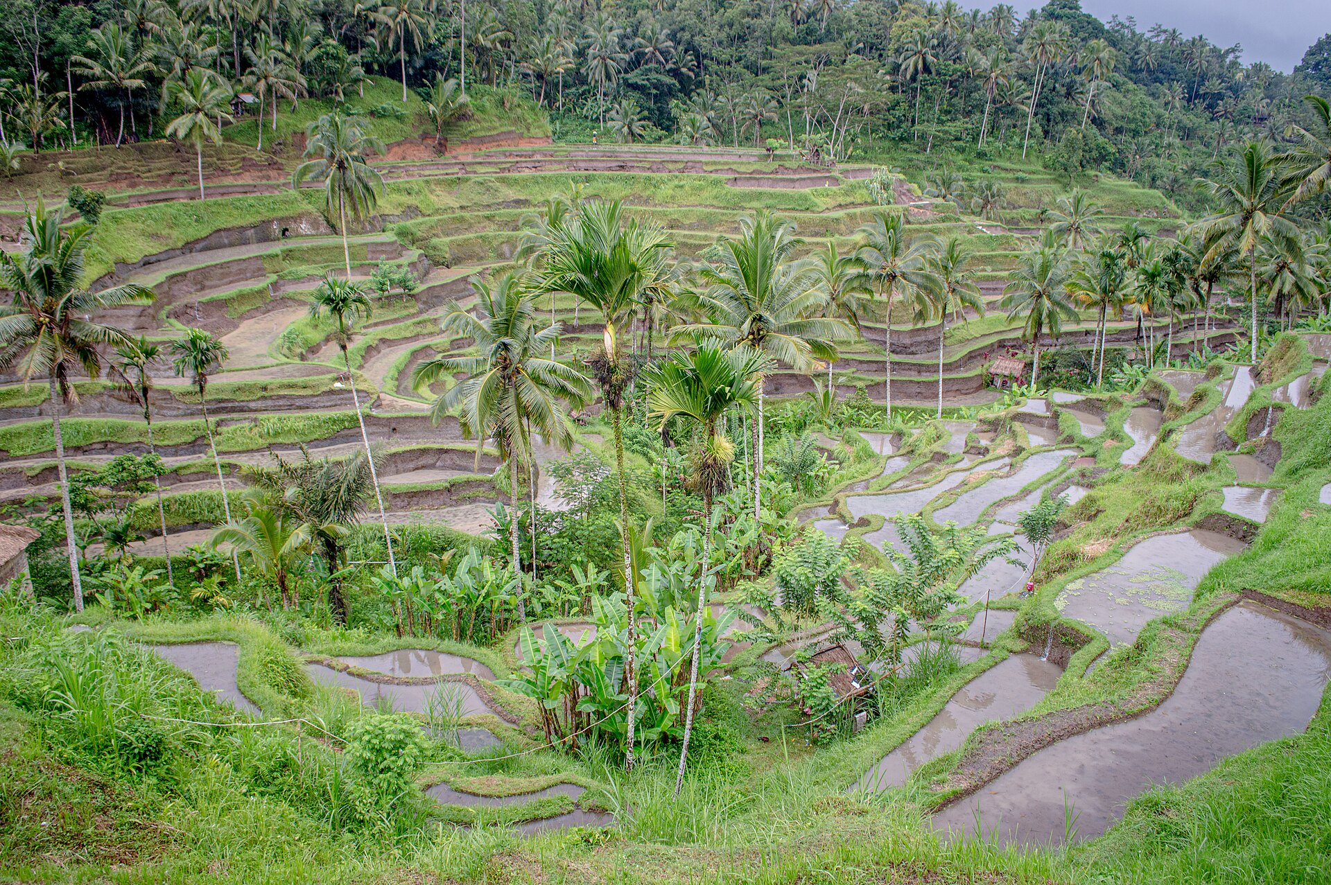
Terasering Tegallalang
| Monday | 07:00 – 18:00 |
|---|---|
| Tuesday | 07:00 – 18:00 |
| Wednesday | 07:00 – 18:00 |
| Thursday | 07:00 – 18:00 |
| Friday | 07:00 – 18:00 |
| Saturday | 07:00 – 18:00 |
| Sunday | 07:00 – 18:00 |
Checked 2026-08-31 · Source
Read from the OpenStreetMap access tags; anything not listed has no tag recorded.
Set the group type to family in the planner and the day window contracts to about three quarters of a solo day.
Tegallalang Rice Terraces, known locally as Terasering Tegallalang, are a renowned agricultural landscape situated north of Ubud in Bali's Gianyar Regency. The site features cascading rice paddies carved into hillsides, demonstrating the traditional Balinese subak irrigation system recognized by UNESCO. While commonly associated with Ubud, the terraces appear in breadth-first visitor rankings for the Denpasar metropolitan area due to regional tourism clustering. The area has evolved from pure agricultural use to incorporate tourism infrastructure alongside ongoing farming activities. Monday–Sunday 07:00–18:00. No regular closure day. These current operator-published hours cover Mupu Rice Terrace in Banjar Kebon, within the Tegallalang terrace landscape.
Checked 2026-08-31 · Source
The terrace complex comprises multiple levels of rice paddies with narrow footpaths and small bridges connecting sections. Local warungs and cafes line the roadside overlooking the terraces, offering vantage points. Some operators provide swing attractions and photo platforms at various locations. Small craft stalls and souvenir vendors occupy positions near the main access points. The subak irrigation channels remain visible throughout, with water flowing between paddies according to traditional community-managed schedules. Agricultural activity continues in many sections regardless of visitor presence. No regular closure day. These current operator-published hours cover Mupu Rice Terrace in Banjar Kebon, within the Tegallalang terrace landscape.
Checked 2026-08-31 · Source
Most visitors allocate between sixty and ninety minutes for the core terrace experience, though duration varies considerably based on individual preferences. Those walking extensively through paddies, photographing multiple levels, or stopping at roadside establishments may extend to two or three hours. The compact roadside viewpoint allows brief visits of fifteen to twenty minutes. Combined itineraries pairing Tegallalang with other northern Ubud-area attractions typically schedule half-day excursions. Morning visits often run longer due to favorable conditions for extended photography and walking. No fixed adult/general admission charge; access is donation-supported, with contributions requested for terrace maintenance.
Checked 2026-08-31 · Source
The terraces remain accessible as an agricultural landscape outside formal gating, though individual attractions and warungs maintain independent schedules. Early morning hours generally offer reduced crowds and softer lighting conditions. Midday brings increased visitor density, particularly at roadside viewpoints. The growing cycle affects visual appearance, with lush green periods alternating with harvest or planting phases. Monday–Sunday 07:00–18:00. The Bali Government Tourism Office places the terraces on Jalan Raya Tegallalang. Indonesia’s Ministry of Tourism describes the journey as about a 20-minute drive north of Ubud by rental car, motorcycle or taxi; walking from Ubud takes about two hours.
Checked 2026-08-31 · Source
Multiple access points exist with varying fee structures. Some terrace sections request voluntary or mandatory donations for maintenance. Individual swing attractions and photo platforms operate separate commercial pricing. Roadside viewpoints from warung premises typically require purchase of food or beverages. Parking fees apply at designated areas. Visitors should carry small denomination cash, as electronic payment acceptance is inconsistent. No fixed adult/general admission charge; access is donation-supported, with contributions requested for terrace maintenance. Vehicles can reach the upper terrace area via Jalan Raya Tegallalang. The upper viewpoint can be used without descending into the paddies.
Checked 2026-08-31 · Source
Tegallalang lies approximately twenty-five kilometers north of central Denpasar, with journey duration highly dependent on traffic conditions common along main routes through Ubud. Private vehicle or hired driver represents the most common access method. Motorbike rental provides alternative transport for experienced riders familiar with Indonesian road conditions. The Bali Government Tourism Office places the terraces on Jalan Raya Tegallalang. Indonesia’s Ministry of Tourism describes the journey as about a 20-minute drive north of Ubud by rental car, motorcycle or taxi; walking from Ubud takes about two hours. The upper viewpoint can be used without descending into the paddies.
Checked 2026-08-31 · Source
Footpath conditions vary significantly, with uneven surfaces, narrow edges, and absence of guardrails in many sections. Irrigation channels create additional trip hazards. Physical exertion required for full terrace exploration exceeds casual walking expectations. Sun exposure intensifies without tree cover on upper levels. Persistent vendor approaches occur at main access points. Weather changes affect path stability rapidly. Vehicles can reach the upper terrace area via Jalan Raya Tegallalang. The terrace walk descends from the upper elevation, crosses a stream and includes difficult footpaths. Gianyar BPBD documented a wooden bridge between Pakudui and Banjar Kebon and terrain where stretcher evacuation was impossible during heavy rain.
Checked 2026-08-31 · Source
The terraced structure provides layered compositions from multiple elevations. Morning directional light illuminates eastern-facing paddies while creating shadows in western sections. Midday overhead light reduces dimensional definition of the terrace ridges. The iconic curved palm tree viewpoint represents one frequently reproduced angle, though numerous alternatives exist along the valley. Drone operation requires awareness of local regulations and privacy considerations for agricultural workers. Crowd management challenges affect clean framing during peak visitation. Tripod use may prove impractical on narrow, uneven paths. Gianyar BPBD documented a wooden bridge between Pakudui and Banjar Kebon and terrain where stretcher evacuation was impossible during heavy rain.
Checked 2026-08-31 · Source
Yes. Bali’s government tourism office lists the attraction as Ceking Rice Terraces on Jalan Raya Tegallalang, while Indonesia’s Ministry of Tourism also uses Tegallalang Rice Terrace for the terraced fields north of Ubud.
The paddies follow subak, Bali’s traditional irrigation system, which Indonesia’s Ministry of Tourism traces to teachings associated with Rsi Markandeya in the eighth century.
Yes. The Ministry of Tourism describes a route descending from the upper viewpoint, crossing a small stream and continuing through the rice fields.
Indonesia’s Ministry of Tourism gives a walking time of approximately 30 minutes to 1.5 hours, depending on how far visitors explore.
The official location is Jalan Raya Tegallalang, Tegallalang, Gianyar Regency, Bali; the Ministry of Tourism describes it as roughly 20 minutes north of Ubud by road.
The paths can become difficult and hazardous. Gianyar BPBD documented a fall near the wooden bridge linking Pakudui and Banjar Kebon, where heavy rain and difficult terrain prevented stretcher evacuation; the agency also advises visitors to avoid landslide-prone areas during heavy rain.
Loading the interactive map…
The interactive map could not be loaded.
Last updated:
Source: OpenStreetMap contributors, Wikidata ·