77 min walk
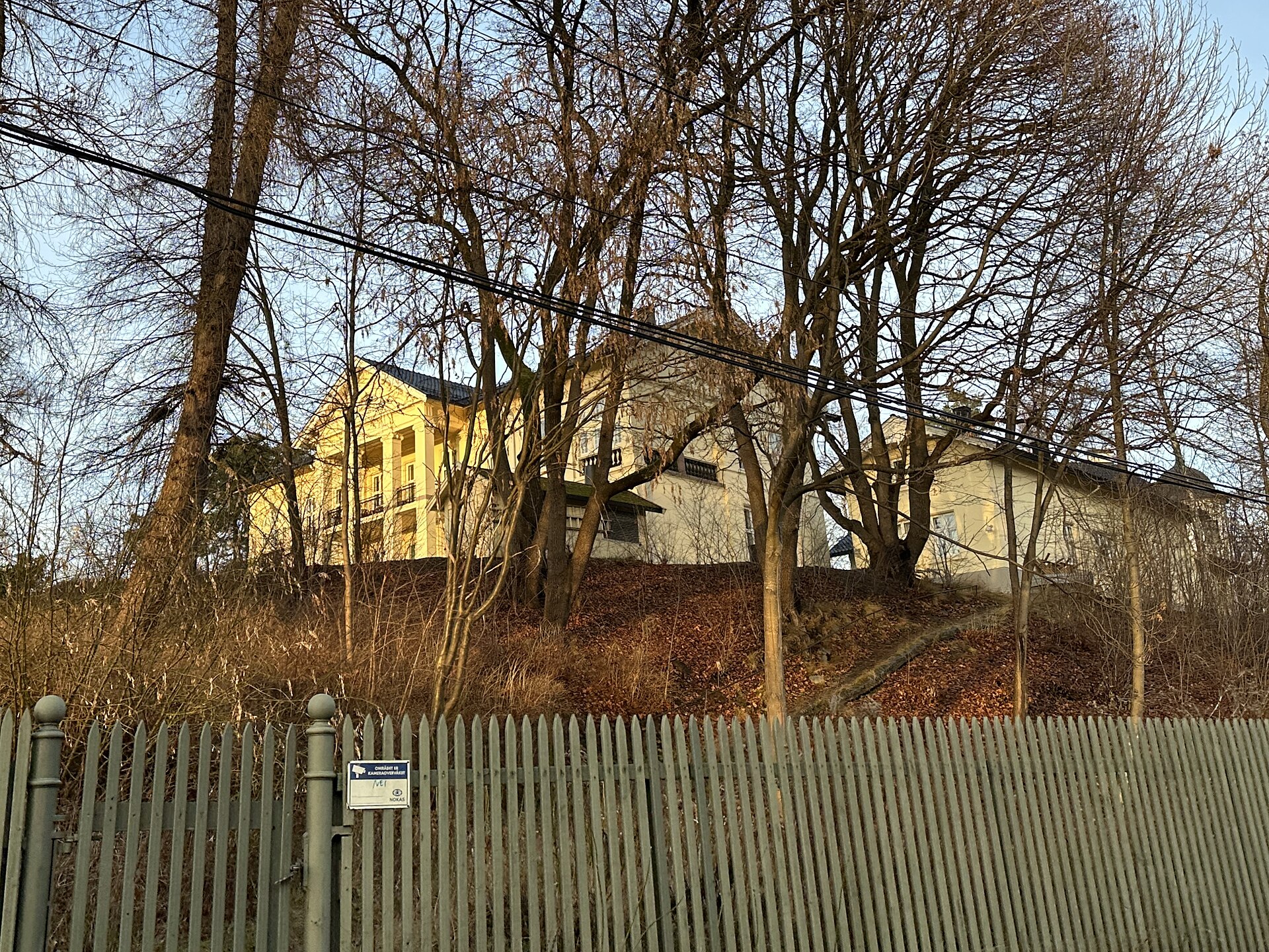
Madserud gård
- High
- Historic site
Viewpoint · Oslo
Voksenåsen is a hill and residential area in the Vestre Aker borough of Oslo, 502.4 metres above sea level, encircled by the Holmenkollen metro line to the south, west and north, with Tryvannshøyden and the Nordmarka forest to the north and Holmenkollen to the south-east. Its top, Voksenkollen, has a silhouette visible from Oslo and from Bærum and is part of the ridges forming Oslo's green skyline. It is an important access point to Nordmarka, via Voksenkollen station and the terminus at Frognerseteren. At the summit stands the Voksenåsen hotel, given by Norway to Sweden in thanks for its help during the Second World War.
Checked 2026-11-05 · Source
502.4 metres above sea level.
By the Holmenkollen metro line, to Voksenkollen station or the terminus at Frognerseteren.
Loading the interactive map…
The interactive map could not be loaded.
Last updated:
Source: OpenStreetMap contributors, Wikidata ·