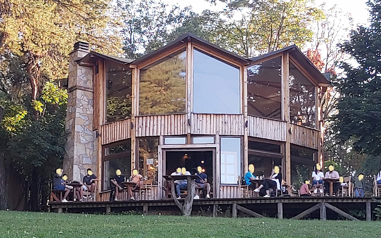
10 min walk · Čukarica
Aleksandar club
- Notable
- Restaurant or café
Viewpoint · Čukarica, Belgrade
Баново брдо
Banovo Brdo is a hill and urban neighbourhood in Belgrade’s Čukarica municipality. Its name recalls Matija Ban, a nineteenth-century Dubrovnik politician who lived on the hillside. He developed an estate with a summer house, orchards and vineyards in what is now Kneza Višeslava Street. Other wealthy residents subsequently built villas, while factories and workers’ settlements appeared beside the Čukarica inlet. The area was once called Golo Brdo and later Banovac before acquiring its present name. Požeška Street is the neighbourhood’s main thoroughfare, and the surrounding districts include Košutnjak, Čukarička Padina, Ada Ciganlija, Žarkovo and Topčider. Today this is a residential and cultural part of the city, with the Čukarica Cultural Centre, Laza Kostić Library and Teatr na Brdu. Banovo Brdo Park includes a children’s playground and outdoor gym. The hill’s name therefore identifies a wider inhabited landscape rather than describing a single equipped viewing platform.
Checked 2026-10-01
Loading the interactive map…
The interactive map could not be loaded.
Last updated:
Source: OpenStreetMap contributors, Wikidata ·