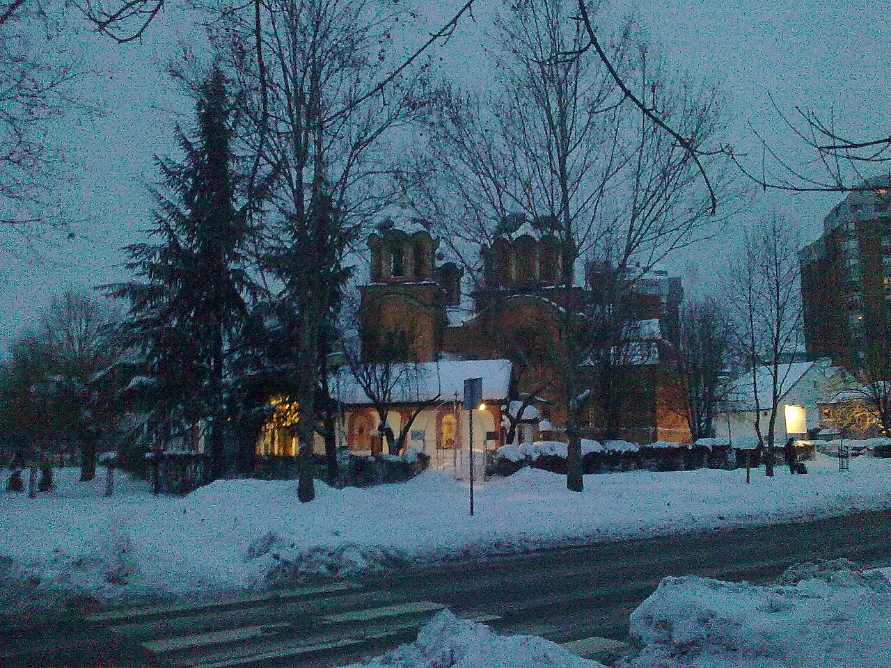
24 min walk · Rakovica
Crkva Svetog Preobraženja Gospodnjeg
- High
- Place of worship
Language · 11 published
Viewpoint · Čukarica, Belgrade
Петлово брдо
Reviewed by Elena Voss · Roavina Travel Editor
This place is a Peak.
Petlovo Brdo is a 201-metre peak in southern Belgrade, Serbia, at the edge of the city’s Rakovica and Čukarica municipalities. The summit stands at 44.7241943, 20.4132925 and is mapped as a natural peak, making this POI a landform viewpoint rather than a staffed attraction. A trail leads to the summit, according to peak mapping data. From the hill, visitors get an elevated perspective over Belgrade’s southern urban landscape and the nearby suburban districts. The name means “Rooster Hill” in English. The surrounding area includes the Petlovo Brdo neighborhood, which developed near the Ibar Highway and Kružni put, while the hill itself rises above the built-up area. Petlovo Brdo is a useful short outdoor stop for travelers exploring Rakovica and the city’s southwestern edge. Public sources do not identify an entrance fee, visitor centre, regular opening schedule, or dedicated visitor facilities, so plan it as an informal hill walk and verify local access conditions before setting out.
Checked 2026-09-02
Loading the interactive map…
The interactive map could not be loaded.
Last updated:
Source: OpenStreetMap contributors, Wikidata ·