01
45 min
Teleferik
Teleferik is Balçova’s enclosed cable-car attraction, with its lower facility on Sakarya Caddesi opposite İzmir University of Economics.
- High
- Historic monument
District guide · İzmir
Balçova is a fully urbanized district in western İzmir, eight kilometres west of the city centre, stretching along the inner gulf's southern coastline. The dist...
Set your days, your pace and the hours you actually want to be out. The planner works around closing days and travel time, and leaves room to eat.
Editorial responsibility: Elena Voss · Roavina Travel Editor
Balçova is a fully urbanized district in western İzmir, eight kilometres west of the city centre, stretching along the inner gulf's southern coastline. The district contains museums including TCG Pirireis and TCG Ege, alongside historical sites such as Sancakburnu Kalesi. Balçova's economy centres on commerce and tourism, drawing visitors through its shopping malls and thermal baths.
Checked 2026-09-04
Ranked by importance — sitelinks, pageviews and heritage status, not editor preference.
2 places match
Category
Typical visit duration
Interests
Teleferik is Balçova’s enclosed cable-car attraction, with its lower facility on Sakarya Caddesi opposite İzmir University of Economics.
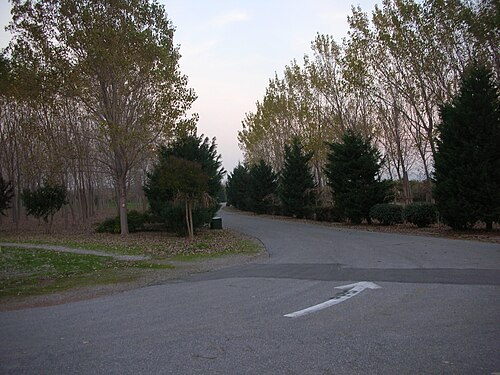
İnciraltı Kent Ormanı
İnciraltı City Forest is a broad public green space in Bahçelerarası, Balçova, on İzmir’s coastal side. Visit İzmir describes approximately 620,000 square metres of open area, giving the site a scale closer to a landscape destination than a compact attraction.