23 min walk · Gördes
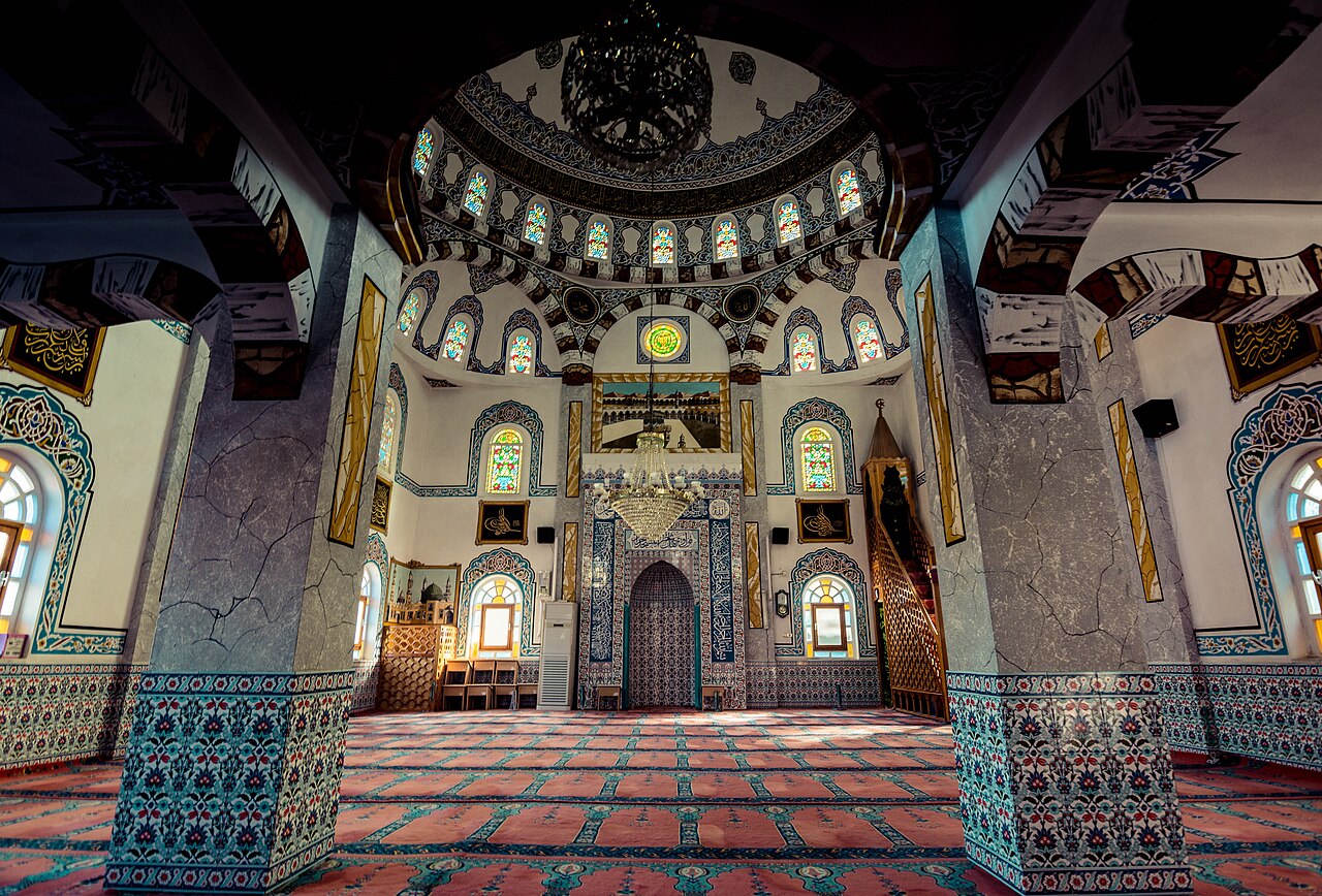
Fatih Cami
- Notable
- Place of worship
Historic monument · Gördes, Manisa
Eski Gördes Harabeleri are the surviving traces of Gördes’s former hillside settlement in Manisa. The place lies in Eski Gördes, in Atatürk Mahallesi, near Eski Gördes Pazar Camii on the eastern slope of Kepez, also called Tekke Dağı. It is not an enclosed museum or a formal archaeological park with a compact visitor circuit. Its character comes from reading a displaced town through its landscape: old stone paving, sloping ground, scattered masonry, and the remains of religious buildings. A severe landslide on 23 January 1940 caused Gördes to move to its newer location, leaving this earlier settlement behind. Historical accounts have also connected the locality with Julia Gordos, while the official cultural inventory describes the visible place as a historic settlement and ruin area.
Checked 2026-09-02 · Source
The most recognisable feature is a minaret whose body is still partly standing, while its conical cap has collapsed. Beside it, portions of the mosque walls remain visible. These structures give the wider ruins a clear point of orientation, but they are part of a larger former townscape rather than an isolated monument. Look around them for the relationship between religious architecture, old stone-paved routes, uneven ruin surfaces, and the hillside setting. The interest lies in combining close observation with the broader pattern: Eski Gördes is a fragmentary settlement where surviving walls and paving help explain how the earlier town occupied the slope.
Checked 2026-09-02 · Source
Allow about 45 to 75 minutes for a focused visit. That is enough time to find the minaret and mosque walls, look across the remaining hillside traces, and pause to understand the settlement’s relationship with its terrain. Add time if you want to follow more of the old street pattern or take several viewpoints. The area is not described as a compact, level museum route, so inclines, stone paving, and uneven surfaces will slow your progress. A deliberate walk is more rewarding than rushing between fragments: the meaning of Eski Gördes emerges through connections between scattered remains, the former religious centre, and the landscape around them.
Checked 2026-09-02 · Source
Plan a daylight visit so the partly standing minaret, surviving mosque walls, paving, and hillside contours are easier to see. The place is experienced outdoors, and weather will affect both visibility and footing. Morning or late afternoon can bring out the relief of the stonework and provide gentler light for photographs. After rain, old paving and irregular ground may be more difficult to cross safely. Choose a time when you can move slowly and study the remains without pressure. The historic setting is best appreciated when the landscape is visible as part of the visit, rather than treated as background to a quick stop.
Checked 2026-09-02 · Source
Treat Eski Gördes Harabeleri as a self-directed visit to open-air historic remains. No verified admission tariff or formal booking arrangement is recorded for this place, so there is no confirmed ticket price to plan into your visit. The surviving minaret, mosque walls, paving, and hillside traces are encountered as part of the former settlement rather than through a documented staffed entrance. This does not establish a universal pricing rule; it simply means that a specific admission charge has not been verified for Eski Gördes Harabeleri.
Checked 2026-09-02 · Source
From Gördes centre, follow the Köprübaşı–Gördes Road towards Eski Gördes Pazar Camii, using the mosque as the most useful local reference point because the ruins are nearby. Gördes Seyahat provides connections to the district from Akhisar, Manisa, Salihli, and İzmir. Expect a hillside historic area near the former settlement, not an enclosed attraction with a formal arrival sequence or transport hub.
Checked 2026-09-02 · Source
The ruins occupy sloping ground with inclines, old stone paving, and uneven surfaces. Wear footwear suited to rough terrain, place each step carefully, and remain on stable ground at ground level. Treat the partly standing minaret and surviving mosque walls as fragile historic fabric: do not climb them, enter unstable sections, lean against masonry, or remove stones or other material. Because the site is a former settlement rather than a controlled indoor attraction, conditions can vary across the hillside. Keep your attention on footing as well as the remains, especially when moving between viewpoints.
Checked 2026-09-02 · Source
Start with a wide view that places the partly standing minaret within the Kepez or Tekke Dağı slope, then move closer for the collapsed conical cap and the mosque’s surviving walls. Include old stone paving or irregular ground in some frames so the photographs show a former townscape, not only one damaged structure. Changing position slowly can reveal how the religious buildings related to the surrounding settlement. Stay on stable ground and keep clear of fragile masonry while composing images. Daylight gives the stonework stronger texture, while softer morning or late-afternoon light can make the hillside contours easier to read.
Checked 2026-09-02 · Source
They are in Eski Gördes, in Atatürk Mahallesi of Gördes district, Manisa, near Eski Gördes Pazar Camii on the eastern slope of Kepez/Tekke Dağı.
A severe landslide on 23 January 1940 led Gördes to move to its newer location. Eski Gördes preserves parts of the earlier hillside settlement left behind.
A partly standing minaret remains, with its conical cap collapsed; sections of the adjacent mosque walls also survive.
The official cultural inventory presents Eski Gördes as a historic settlement and ruin area. Historical accounts have also associated this locality with Julia Gordos, an ancient settlement.
Gördes Seyahat connects Akhisar, Manisa, Salihli, and İzmir with Gördes. From the district centre, follow the Köprübaşı–Gördes Road towards Eski Gördes Pazar Camii; the final approach is on foot or by private vehicle.
The site lies on a slope with inclines, old stone paving, and uneven ruin surfaces. The terrain is not presented as a level museum route, so visitors should expect uneven walking conditions.
Loading the interactive map…
The interactive map could not be loaded.
Last updated:
Source: OpenStreetMap contributors ·