62 min walk · Sarıgöl
Aktaş
- Notable
- Viewpoint
Language · 11 published
Viewpoint · Sarıgöl, Manisa
Reviewed by Elena Voss · Roavina Travel Editor
This place is a Peak.
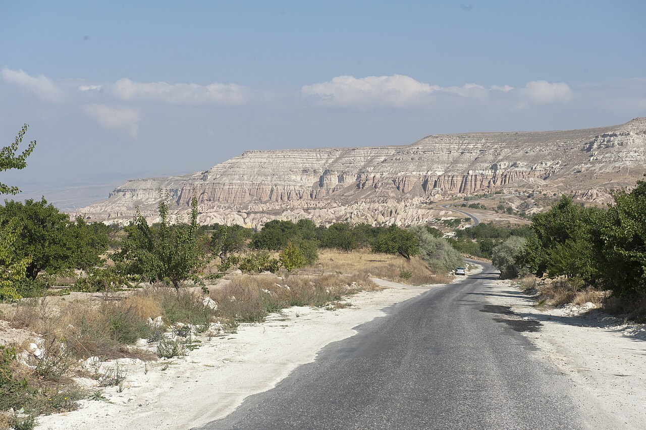
Hamam Tepe is a natural mountain summit in Manisa Province, within the Bozdağlar range. At 800 metres, it is an open landscape rather than an enclosed attraction, museum or staffed visitor facility. The appeal is the summit setting itself: a high point in a rugged mountain environment where the experience depends on terrain, weather and the character of the surrounding hills. There is no built reception area, exhibition space or defined visitor programme to orient a first-time arrival. Treat the place as a rural summit for a self-directed outing, not as a conventional sightseeing venue. The absence of a facility also means that practical arrangements—water, suitable clothing, navigation and timing—belong with the visitor before setting out.
Checked 2026-09-02 · Source
There is no interior to visit at Hamam Tepe. What you encounter is therefore shaped by the landscape: uneven ground, changing views and the atmosphere of the Bozdağlar rather than constructed displays. Because no visitor infrastructure is identified, do not plan around toilets, cafés, drinking-water points, seating or shelter at the summit. Bring everything needed for the time you intend to spend outdoors, and take all waste away with you.
Checked 2026-09-02 · Source
Allow the time required for the approach as well as the time spent at the summit. That makes the duration highly dependent on your starting point, road conditions, walking pace and navigation. Once there, the summit itself does not require a formal tour; a short stop may be enough for orientation and views, while walkers may naturally stay longer as part of a broader mountain outing.
Checked 2026-09-02 · Source
Hamam Tepe can be approached at any time because it is open natural landform rather than a staffed facility with published visiting sessions. That does not make every hour equally suitable for a mountain visit. Daylight gives you better visibility over uneven terrain and makes navigation easier; stable weather is preferable to cloud, rain or strong wind. Check the local forecast before departure and leave enough daylight for the return walk. Conditions can change more quickly in exposed upland terrain than they do in Manisa’s urban areas. There are no operator closure days to plan around, but visitors remain responsible for deciding whether the route is safe on the day.
Checked 2026-09-02 · Source
Hamam Tepe has no entrance ticket or admission charge. This should be understood as free access to the landscape, not as a bundle of visitor services. There is no indication of a paid guided experience, included equipment or staffed support at the summit. Budget for the practical costs of reaching the area—such as transport, food and personal outdoor equipment—rather than for an admission fee. Because the destination is open terrain, keep the access point and any surrounding land tidy, follow applicable countryside restrictions and avoid leaving belongings or waste behind.
Checked 2026-09-02 · Source
Approach Hamam Tepe by road toward the Bozdağ area, then continue on foot across natural mountain terrain. The available public information does not identify a named public-transport stop serving the summit, so public transport cannot be described as a direct arrival option. Plan the final approach as a walk rather than expecting a paved visitor forecourt or vehicle access to the summit itself. Use reliable navigation, confirm the route before setting out and allow extra time for uneven ground. A vehicle may get you toward the wider Bozdağ area, but the exact stopping point and walk should be checked against current conditions and local access.
Checked 2026-09-02 · Source
The main challenge is the ground, not a queue or a security check. Hamam Tepe is reached over natural, uneven mountain terrain, with no identified built visitor route, staffed facility or on-site assistance. Wear sturdy footwear and choose clothing for exposed, changeable conditions. Wheelchair users and anyone who needs a step-free surface should not expect an accessible route: the summit is recorded as not step-free. Keep your group together, particularly where visibility drops, and use a conservative turnaround decision if weather, daylight or navigation becomes uncertain. Do not rely on summit amenities; bring water and food, carry a charged phone and take rubbish away. Free entry and open access do not remove ordinary mountain-safety responsibilities.
Checked 2026-09-02 · Source
Hamam Tepe is best photographed as an outdoor landscape rather than as an architectural subject. The summit’s 800-metre elevation and position in the Bozdağlar range provide the context: frame the surrounding hills, the approach and the changing mountain atmosphere rather than looking for a designed viewpoint or exhibition detail. Daylight is the practical choice because it helps reveal uneven ground while you compose images. Wind, cloud and shifting light may change the scene quickly, so protect equipment and leave time to pack it away before the return walk.
Checked 2026-09-02 · Source
Hamam Tepe is a natural mountain summit in the Bozdağlar range, not a museum, enclosed attraction or staffed visitor facility.
Hamam Tepe has an elevation of 800 metres.
Hamam Tepe is part of the Bozdağlar mountain range.
Yes. Hamam Tepe is listed among the peaks in the Manisa area of the Bozdağlar range, which extends along the Manisa–İzmir provincial boundary.
No. Access to the natural summit has no admission charge.
No step-free visitor route is identified. The summit involves natural, uneven mountain terrain and has no built access infrastructure.
Loading the interactive map…
The interactive map could not be loaded.

Last updated:
Source: OpenStreetMap contributors ·