31 min walk · Yunusemre
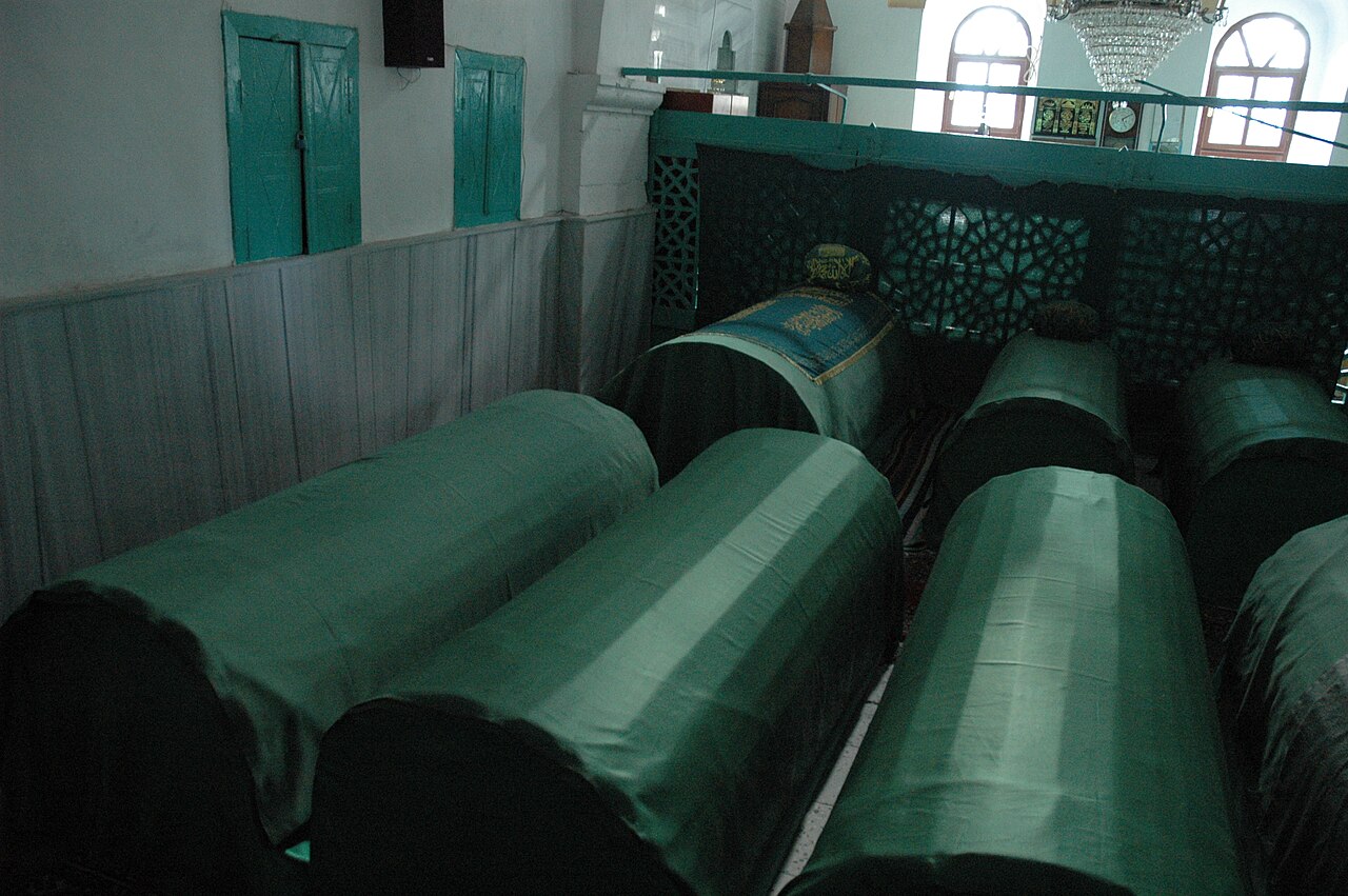
Yukarı Cami
- Notable
- Place of worship
Language · 11 published
Historic monument · Yunusemre, Manisa
Sosandra Kalesi
Editorial responsibility: Elena Voss · Roavina Travel Editor
This place is a Attraction.
Sosandra Kalesi, also known as Yoğurtçu Kalesi, is a ruined hilltop fortress near Uzunburun Mahallesi in Yunusemre district. The castle occupies a rocky natural rise outside Manisa, making its setting central to understanding the site. Its surviving defensive remains are encountered as part of the landscape rather than within a restored museum complex. The character of Sosandra Kalesi comes from the combination of elevated terrain, incomplete masonry and the sense of distance from the city below. The name Yoğurtçu Kalesi is useful when comparing the site with official cultural references or local directions.
Checked 2026-09-02 · Source
The principal remains consist of an inner castle and outer walls surrounding it on the east, west and south sides. This arrangement reflects a fortress planned around the shape and defensive advantages of the rocky hill. The cultural inventory places the construction probably in the Byzantine period, at the end of the 12th century or the beginning of the 13th century. Archaeological excavation has not yet been carried out, so the visit is focused on reading visible walls, natural defences and the surviving layout in place. The inner castle and outer enclosure should be viewed as connected parts of one hilltop defensive setting.
Checked 2026-09-02 · Source
Allow approximately 45 to 90 minutes for a cautious visit, including the approach, time among the remains and the descent. The duration depends on how far you can climb comfortably and how long you spend distinguishing the inner castle from the outer walls. Build in time to pause on firm ground, study the relationship between stonework and slope, and take photographs without rushing. The uneven climb can make this small archaeological site feel more demanding than its distance from Manisa suggests. Leave extra time for the descent, since uneven ground deserves the same attention on the way down.
Checked 2026-09-02 · Source
Daylight is the most suitable time for visiting Sosandra Kalesi because the rocky approach and uneven footing need to be assessed clearly. Dry weather is preferable for walking across the slope, while rain can make soil and stone less secure. A morning or late-afternoon visit can also make the fortification easier to read through changing shadows on the rock and walls. Plan the outing around visibility and ground conditions, especially if you intend to climb beyond the lower approach. Choose a period when you can return before visibility fades, as the setting has no documented indoor route or staffed visitor area.
Checked 2026-09-02 · Source
Sosandra Kalesi is best approached as a self-guided archaeological visit centred on the visible hilltop remains. The available cultural description identifies the fortress and its setting but does not outline an organised tour, reservation process or visitor programme. It also does not record an admission price, so no ticket amount should be assumed. Prepare for a place where the interest lies in the landscape and surviving defensive structure rather than a sequence of indoor exhibits. Reading about the castle’s layout before setting out will help you recognise the inner and outer defensive elements.
Checked 2026-09-02 · Source
Sosandra Kalesi is near Uzunburun Mahallesi in Yunusemre district, approximately 20 kilometres from Manisa city centre. The official cultural listing describes access by road, but reaching the road area is not the same as arriving at the remains. Expect a demanding climb from the roadside toward the rocky hilltop, with uneven terrain on the final approach. Treat the last part as a terrain-based walk, allow time to find a secure route, and avoid turning the visit into a hurried roadside stop. The road description therefore explains vehicle approach, not a level path directly to the castle.
Checked 2026-09-02 · Source
The climb is the defining challenge at Sosandra Kalesi. Wear shoes with dependable grip, keep your hands free where necessary and avoid loose soil, unstable edges and fragile masonry. Children should remain close to an accompanying adult throughout the approach. Do not climb walls or exposed rocks for a higher viewpoint. Walk conservatively across the unrestored ruin, and turn back when the slope, stone or descent no longer feels secure. The hilltop is rewarding when approached patiently, but it should not be treated as a scrambling route or a place where a photograph justifies a risky position.
Checked 2026-09-02 · Source
Photograph Sosandra Kalesi as a relationship between fortress, rock and countryside. Use a wide view from the approach to show the height and defensive position of the natural mass. Closer compositions can separate the inner castle from the outer walls on the east, west and south sides. Low morning or late-afternoon light may reveal texture in the masonry while keeping the slope legible. Images are strongest when they include the rocky rise, because the terrain explains the fortress’s position and surviving defensive logic. Stay on firm ground, keep away from exposed edges and never climb fragile walls to gain elevation. Record the ruin’s incomplete, terrain-bound character rather than suggesting a restored complex.
Checked 2026-09-02 · Source
Manisa’s official cultural sources also refer to the fortress as Yoğurtçu Kalesi.
It is near Uzunburun Mahallesi in Yunusemre district, approximately 20 kilometres from Manisa city centre.
The official cultural listing places Sosandra Kalesi approximately 20 kilometres from Manisa city centre.
The cultural inventory says it was probably built in the Byzantine period, at the end of the 12th century or the beginning of the 13th century.
The remains include an inner castle and outer walls surrounding it on the east, west and south sides.
According to the official cultural inventory, archaeological excavation has not yet been carried out at the castle.
Loading the interactive map…
The interactive map could not be loaded.
Last updated:
Source: OpenStreetMap contributors ·