.jpg)


32 min walk
Crandon Park
- Must see
- Nature site

Nature site · Miami
Historic Virginia Key Beach Park
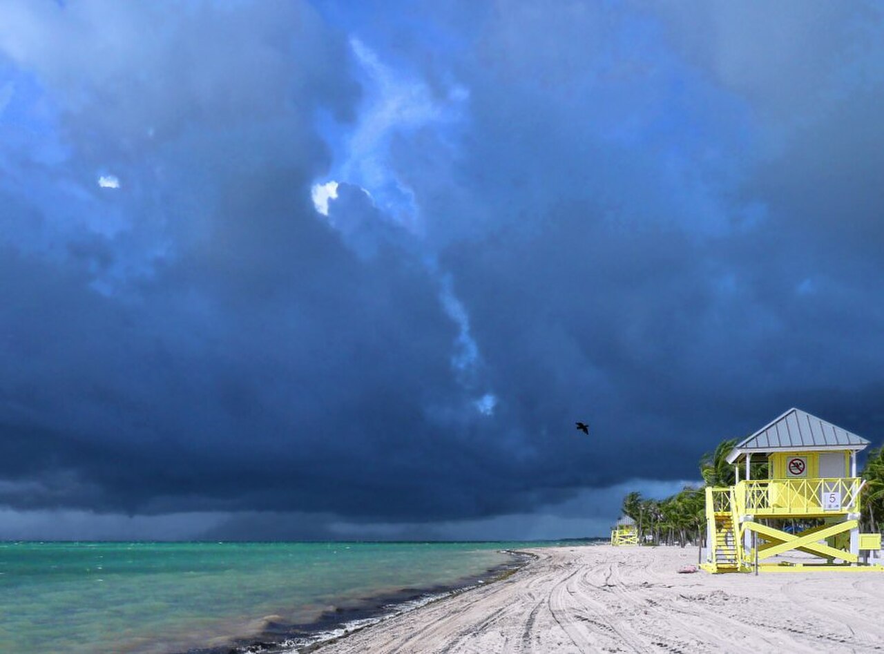
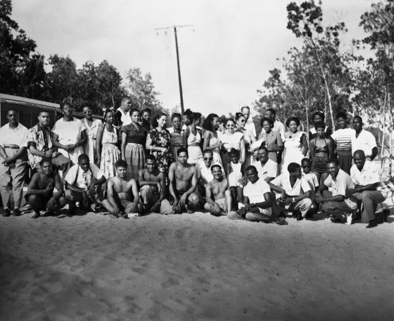
Historic Virginia Key Beach Park is a coastal park on Virginia Key near Miami. It operated as a segregated beach for African Americans from 1945 to 1982, making it an important place in the history of access, recreation, and community life in South Florida. Today the shoreline combines outdoor recreation with commemoration. The setting allows visitors to experience a bay landscape while reflecting on the park’s civil-rights history. Historic Virginia Key Beach Park is a coastal park on Virginia Key, an island near Miami, Florida. The site served as a segregated beach for African Americans during the Jim Crow era, operating from 1945 to 1982 before closure and later restoration. The park holds significance as one of the few beach destinations available to Black residents during segregation. Its historic designation reflects both the injustice of the era and community resilience. The park now functions as a public space combining natural coastal environment with historical commemoration, managed with attention to its layered past. Swimming has historically occurred at this beach location, though current water quality conditions, lifeguard availability, and designated swim areas should be verified through official sources before entering the water.
Checked 2026-08-26 · Source
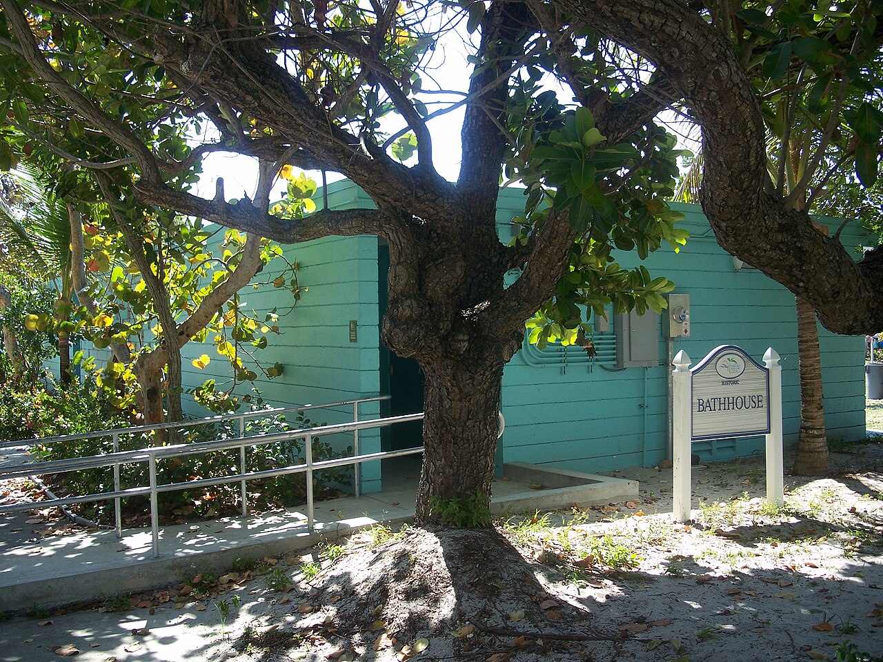
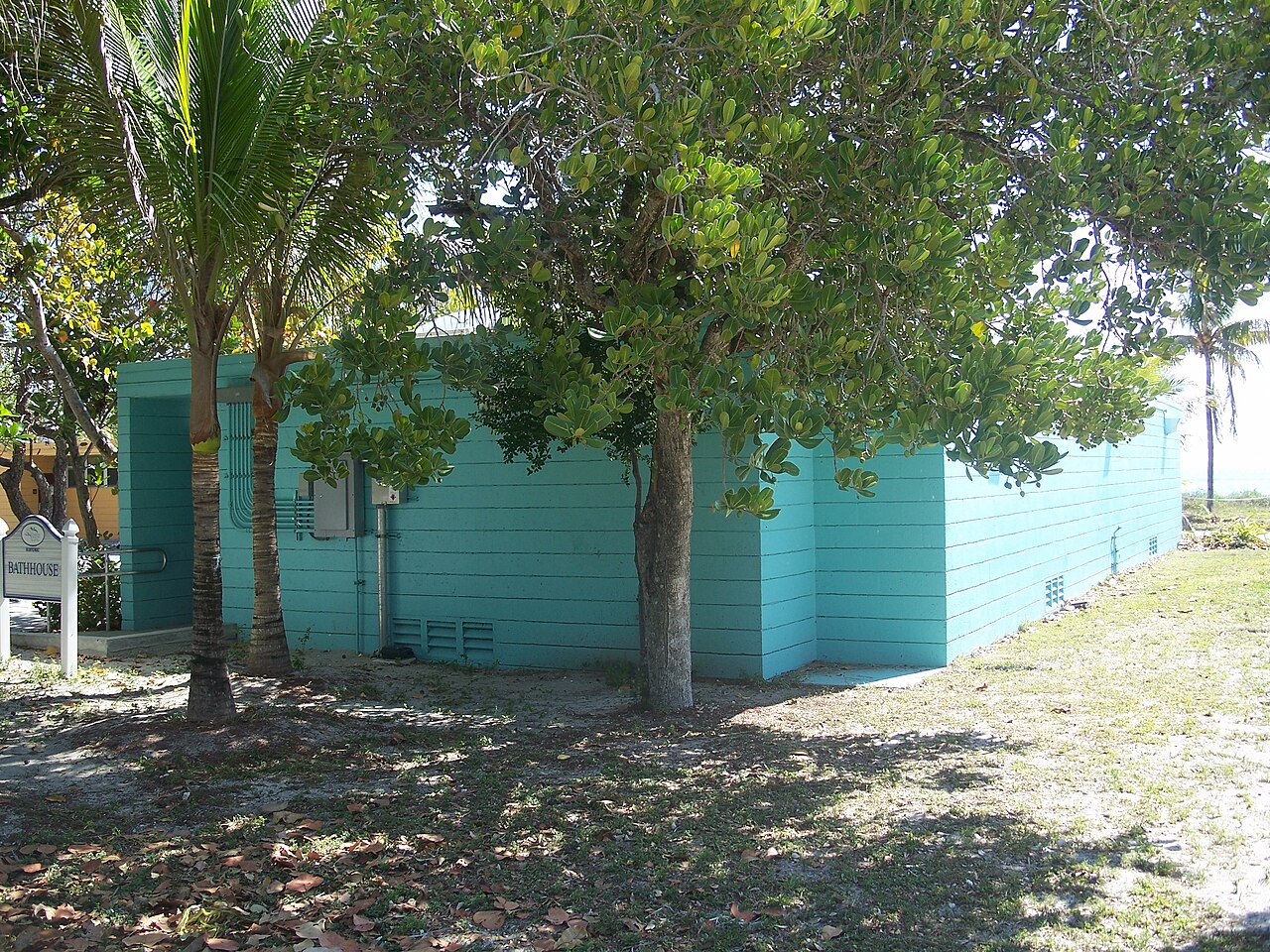
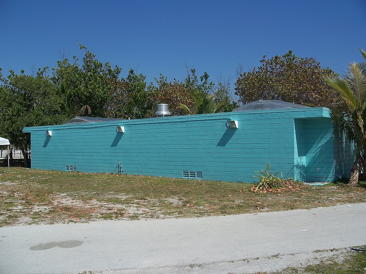
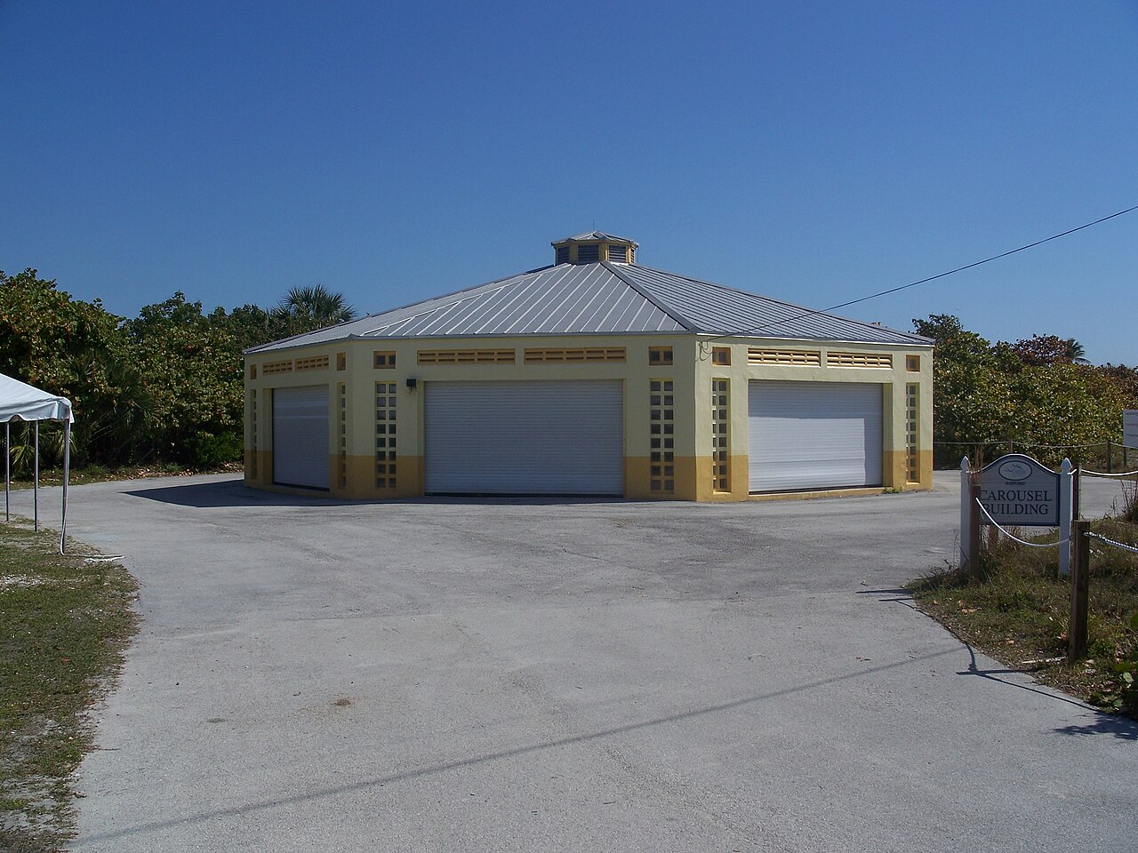
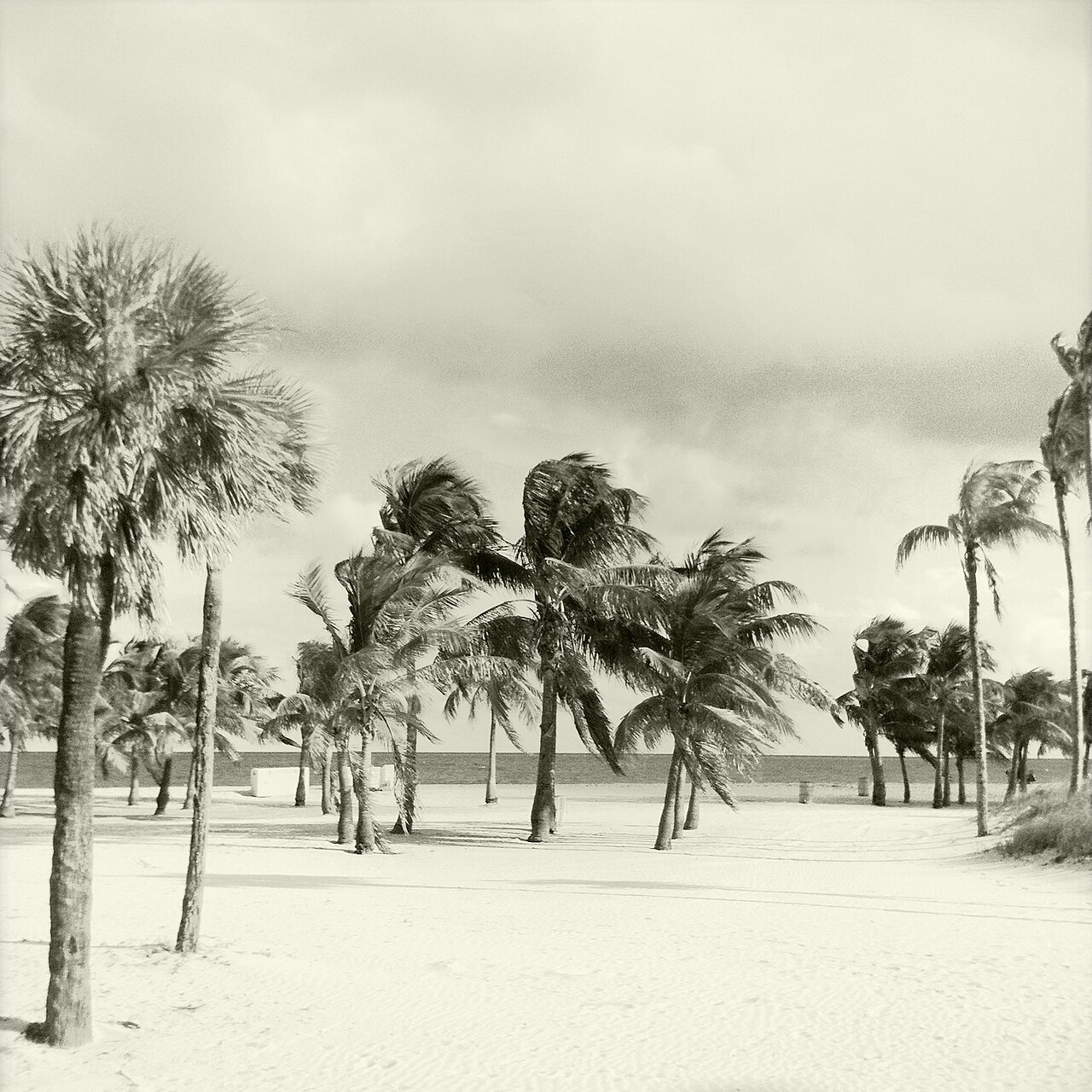
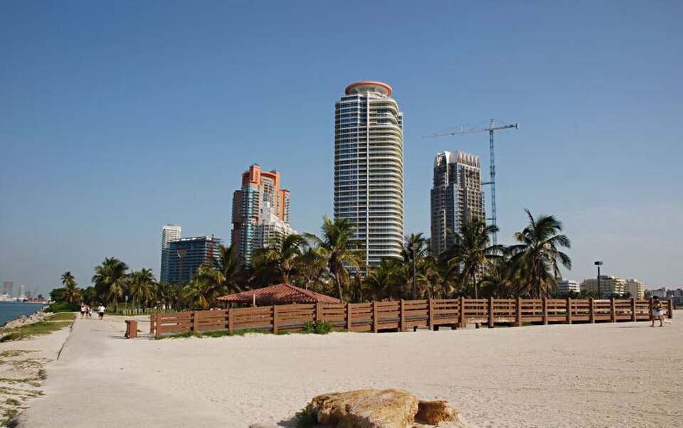
The park includes beachfront along Biscayne Bay, picnic pavilions, nature trails, coastal vegetation, mangrove areas, and views toward Key Biscayne and downtown Miami. The restored carousel building is one of its notable historic features. Interpretive markers connect the landscape with the beach’s segregated-era past. The experience is therefore a combination of shoreline, preserved structure, open-air recreation, and place-based history rather than a conventional museum visit. The park contains beachfront along Biscayne Bay, historic structures including the restored carousel building, picnic pavilions, and nature trails. Visitors will find coastal vegetation and views toward Key Biscayne and downtown Miami. The site includes markers and interpretive elements related to its segregated-era history. The carousel building represents a notable preserved feature from the beach's operational period. Natural features include mangrove areas and shoreline habitat. The park's layout integrates recreational space with historical preservation, though specific amenity availability should be verified through the official website before visiting.
Checked 2026-08-26 · Source
Plan two to four hours for a balanced visit. That allows time for the beach, a walk along the trails, a look at the carousel building, and attention to the historical markers. A shorter stop can focus on the shoreline and principal historic features, while a longer stay suits picnicking and slower exploration. The park’s outdoor character means your pace will also depend on heat, sun, and comfort near the water.
Checked 2026-08-26 · Source
Miami’s mild winter weather is comfortable for walking, picnicking, and spending time beside Biscayne Bay. Summer is hotter and more humid, with afternoon storms that can interrupt outdoor plans. Winter and school-holiday periods may bring more visitors. The park’s history gives the visit weight in every season, while the shoreline and trails reward a calm, unhurried pace. Set aside enough daylight to combine recreation with the interpretive elements.
Checked 2026-08-26 · Source
It does not establish a current amount, payment method, or resident category. Treat the visit as a park outing rather than applying museum-ticket expectations. The possible cost is associated with access or parking, while the beach, historic setting, and natural landscape define the experience itself.
Checked 2026-08-26 · Source
Virginia Key is reached from mainland Miami by the Rickenbacker Causeway, which continues toward Key Biscayne. The park lies on the island’s northern portion. Travelers can approach by car, rideshare, bicycle, or public transport connections that require walking or transfers. The causeway route exposes cyclists and pedestrians to sun and traffic, so allow more time than the island distance alone suggests. The bridge approach is part of the outing.
Checked 2026-08-26 · Source
The coastal setting brings strong sun, heat, changing weather, and areas with limited shade. Carry water and protect yourself from prolonged exposure during beach and trail time. Historic structures and paths may include uneven surfaces. Keep respectful distance from birds and marine wildlife, and remember that the island setting is less service-dense than central Miami. Leave enough time for the causeway journey back, especially after sunset or during busy periods.
Checked 2026-08-26 · Source
Virginia Key offers photographs that combine Biscayne Bay, mangrove and shoreline vegetation, the restored carousel building, and views toward Key Biscayne and downtown Miami. Sunrise and sunset can give the water and skyline softer light, while midday emphasizes the brightness of the coastal landscape. Photograph the historic features with the same care used for the interpretive material. Keep sand and spray away from equipment, and give beach users room.
Checked 2026-08-26 · Source
It was a segregated beach for African Americans from 1945 to 1982 and now preserves that history alongside public coastal recreation.
The park is on Virginia Key, reached from mainland Miami by the Rickenbacker Causeway toward Key Biscayne.
Visitors can spend time on the beachfront, walk nature trails, use picnic areas, view the restored carousel building, and read historical markers.
Two to four hours suits visitors combining beach time, trails, the carousel building, and historical interpretation.
The principal approach is the Rickenbacker Causeway from mainland Miami, with car, rideshare, bicycle, and public-transport options involving different levels of walking or transfer.
The restored carousel building is a notable preserved feature from the beach’s operating period.
Loading the interactive map…
The interactive map could not be loaded.
Last updated:
Source: OpenStreetMap contributors, Wikidata ·