
31 min walk
Hallett Cove Conservation Park
- Must see
- Nature site
Language · 11 published
Nature site · Adelaide
Reviewed by Elena Voss · Roavina Travel Editor
| Monday | 00:00 – 23:59 |
|---|---|
| Tuesday | 00:00 – 23:59 |
| Wednesday | 00:00 – 23:59 |
| Thursday | 00:00 – 23:59 |
| Friday | 00:00 – 23:59 |
| Saturday | 00:00 – 23:59 |
| Sunday | 00:00 – 23:59 |
Checked 2026-08-31 · Source
Read from the OpenStreetMap access tags; anything not listed has no tag recorded.
Set the group type to family in the planner and the day window contracts to about three quarters of a solo day.
This place is a Nature reserve. It was established in 1989.
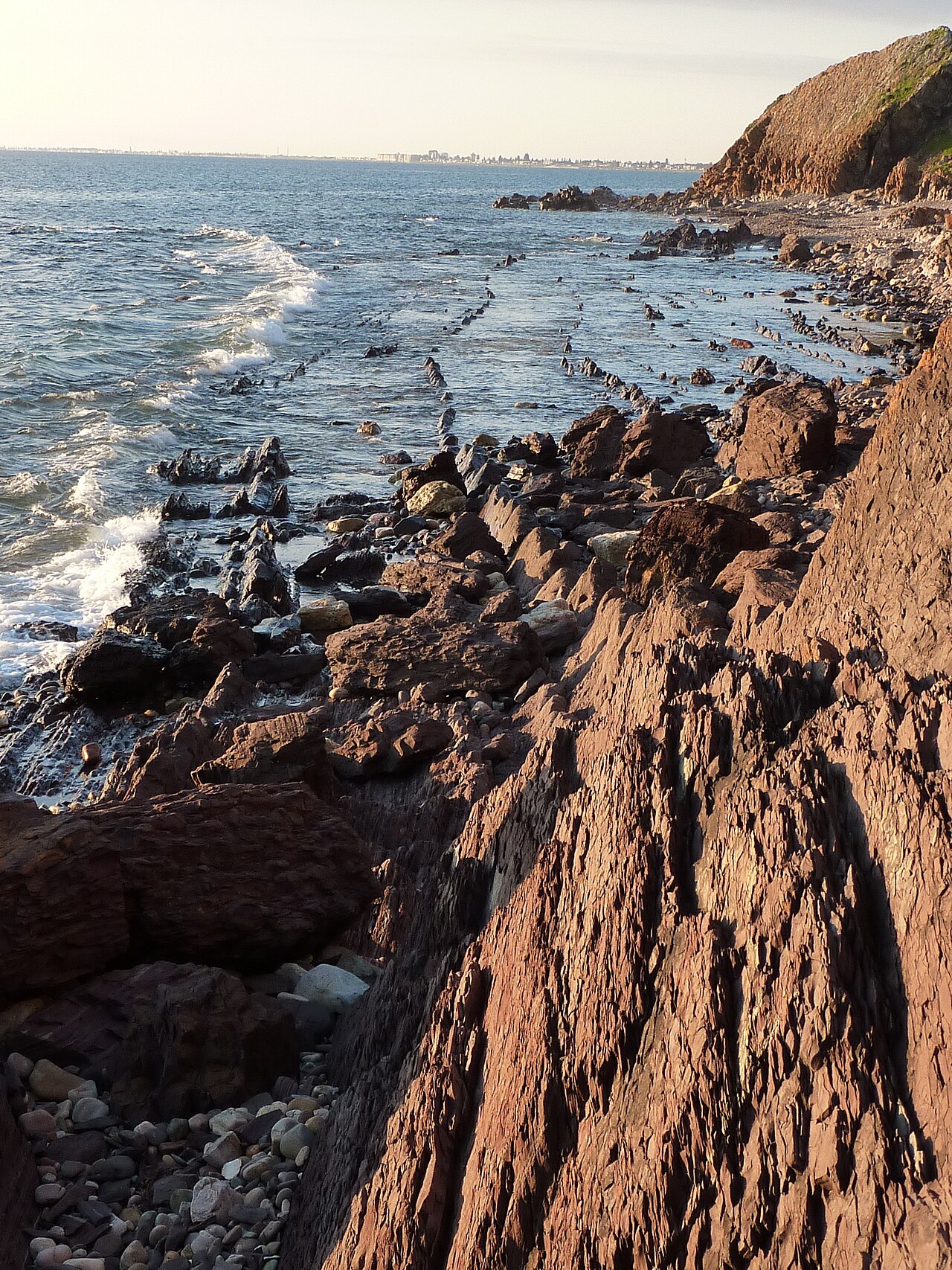
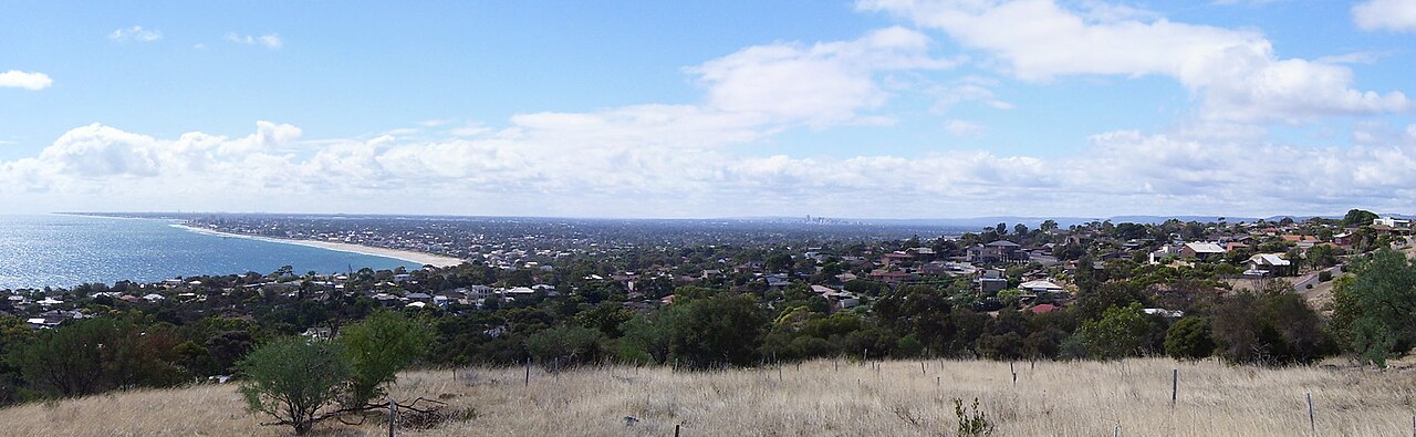
Marino Conservation Park is a compact coastal reserve in metropolitan Adelaide, 18 km south of the city. It protects native vegetation while remaining accessible from surrounding streets and the Seaford railway corridor. The experience is deliberately low-key: visitors come for a short self-guided walk rather than a staffed attraction. Three pedestrian entrances connect the park to Marino, making it practical for a local nature break without a long drive from central Adelaide. The park's limited infrastructure keeps attention on the landscape, but also requires visitors to arrive self-sufficient.
Checked 2026-08-31 · Source
The main visitor feature is the Grade 3 Botanical Trail, a 1.4 km loop through the conservation park. Its surface varies between hard-packed material and loose dirt, and an accessible picnic spot sits along the route. The first part of the trail is suitable for wheelchairs and prams, but that access does not extend across the entire loop. Facilities are minimal: there are no toilets, visitor accommodation, camping areas or designated mountain-bike trails inside the park. Assistance dogs are welcome when restrained on a lead and kept under effective control throughout the visit.
Checked 2026-08-31 · Source
Allow about 45 minutes to complete the 1.4 km Botanical Trail, which is the official estimate for the Grade 3 loop. A one-hour visit gives a little extra time for the picnic spot, photographs and slower progress over loose or muddy sections. Visitors using only the accessible first section can plan a shorter outing and turn back when the surface or gradient no longer suits. Marino Conservation Park works best as a focused walk, not an all-day park visit. Add separate time for walking between Marino Rocks Railway Station and the chosen pedestrian entrance.
Checked 2026-08-31 · Source
Choose a dry day if possible, because loose-dirt sections of the Botanical Trail can become very muddy after rain. The park is open daily, but access is conditional on fire danger: it closes on Catastrophic Fire Danger days and may also close on Extreme Fire Danger days. Check the current National Parks and Wildlife Service South Australia alerts before leaving, especially during elevated fire-risk weather. There was no Marino-specific closure on the alerts list when this information was checked. Daily opening should never be read as overriding a closure or direction issued for visitor safety.
Checked 2026-08-31 · Source
Entry to Marino Conservation Park is free. The park does not require an admission ticket, park-entry fee or visitor permit, so there is no booking step for an ordinary walk on the Botanical Trail. This also means there is no ticket office to find on arrival. Visitors can enter through any of the three pedestrian access points and use the trail during an open day, subject to fire-danger closures and the normal park rules. Free entry does not waive those restrictions, including the year-round prohibition on every listed type of fire.
Checked 2026-08-31 · Source
Marino Conservation Park lies 18 km south of Adelaide. Drivers can use the car park at the end of Nimboya Road in Marino, where one accessible parking space is provided. For public transport, take an Adelaide Metro Seaford line train to Marino Rocks Railway Station, near 84 Newland Avenue; the official park map places the railway beside the reserve. The park has three pedestrian access points, so walkers should use the map to choose the entrance that best matches their route. Wheelchair and pram users should favour the Nimboya Road arrival for its accessible bay and trail connection.
Checked 2026-08-31 · Source
There are no toilets in Marino Conservation Park, so plan a stop before arrival and carry what you need for the walk. Trail conditions are mixed: hard-packed sections give way to loose dirt, and wet weather can make parts very muddy. Fires are prohibited throughout the year, including wood, solid-fuel, gas and liquid-fuel fires. Dogs are allowed only on designated trails, under effective control and on a lead no longer than two metres. Leave immediately if directed during a fire-danger closure. The accessible designation applies only to the first trail section, not automatically to the complete Grade 3 loop.
Checked 2026-08-31 · Source
The Botanical Trail provides the clearest framework for photographing Marino Conservation Park without trampling protected vegetation. Work from the designated route and the accessible picnic spot, and expect the changing surface to affect where a tripod can stand securely. A compact setup is easier to manage on loose dirt and after wet weather. Keep the first accessible section clear for wheelchair and pram users, control any dog on its required lead, and do not leave the trail to seek a different angle. Allow more than the official 45-minute walking time if stopping repeatedly, while keeping all equipment within the designated trail corridor.
Checked 2026-08-31 · Source
The Grade 3 Botanical Trail is a 1.4 km loop that takes about 45 minutes to complete.
Yes. Dogs must remain on designated trails, stay under effective control and use a lead no longer than two metres.
No. Marino Conservation Park has no toilets, including no accessible toilets.
No. Camping and visitor accommodation are not available within Marino Conservation Park.
No designated mountain-biking trails are provided in Marino Conservation Park.
No. Wood, solid-fuel, gas and liquid-fuel fires are prohibited throughout the year.
Loading the interactive map…
The interactive map could not be loaded.

Last updated:
Source: OpenStreetMap contributors, Wikidata ·