
9 min walk · Döbling
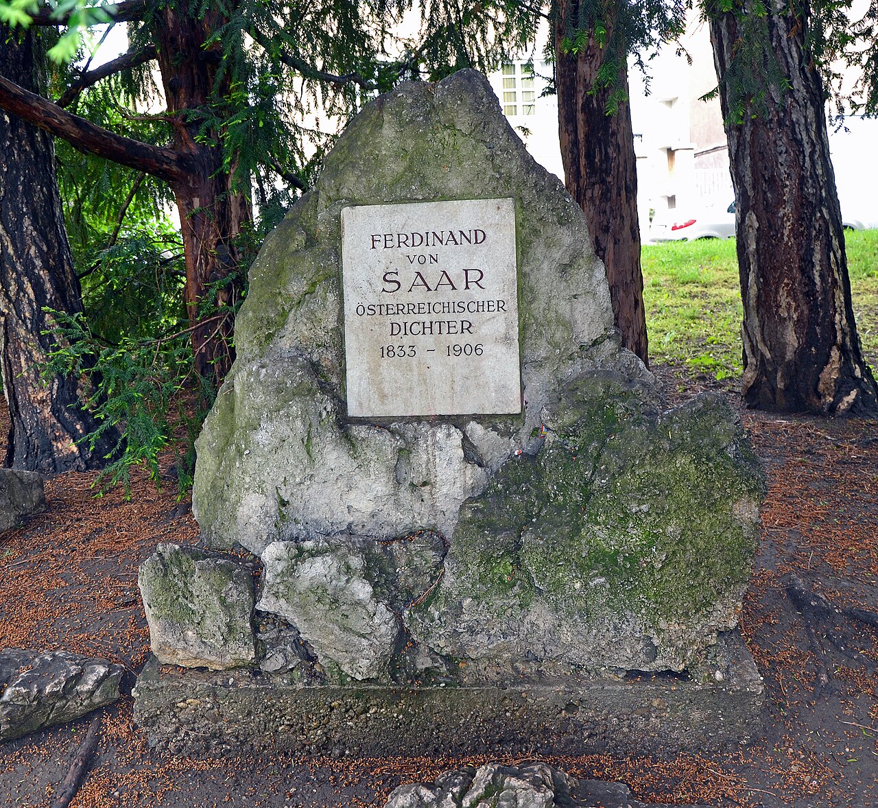
Ferdinand von Saar
- High
- Historic monument
Language · 11 published
Viewpoint · Döbling, Vienna
Reviewed by Elena Voss · Roavina Travel Editor
This place is a Peak.
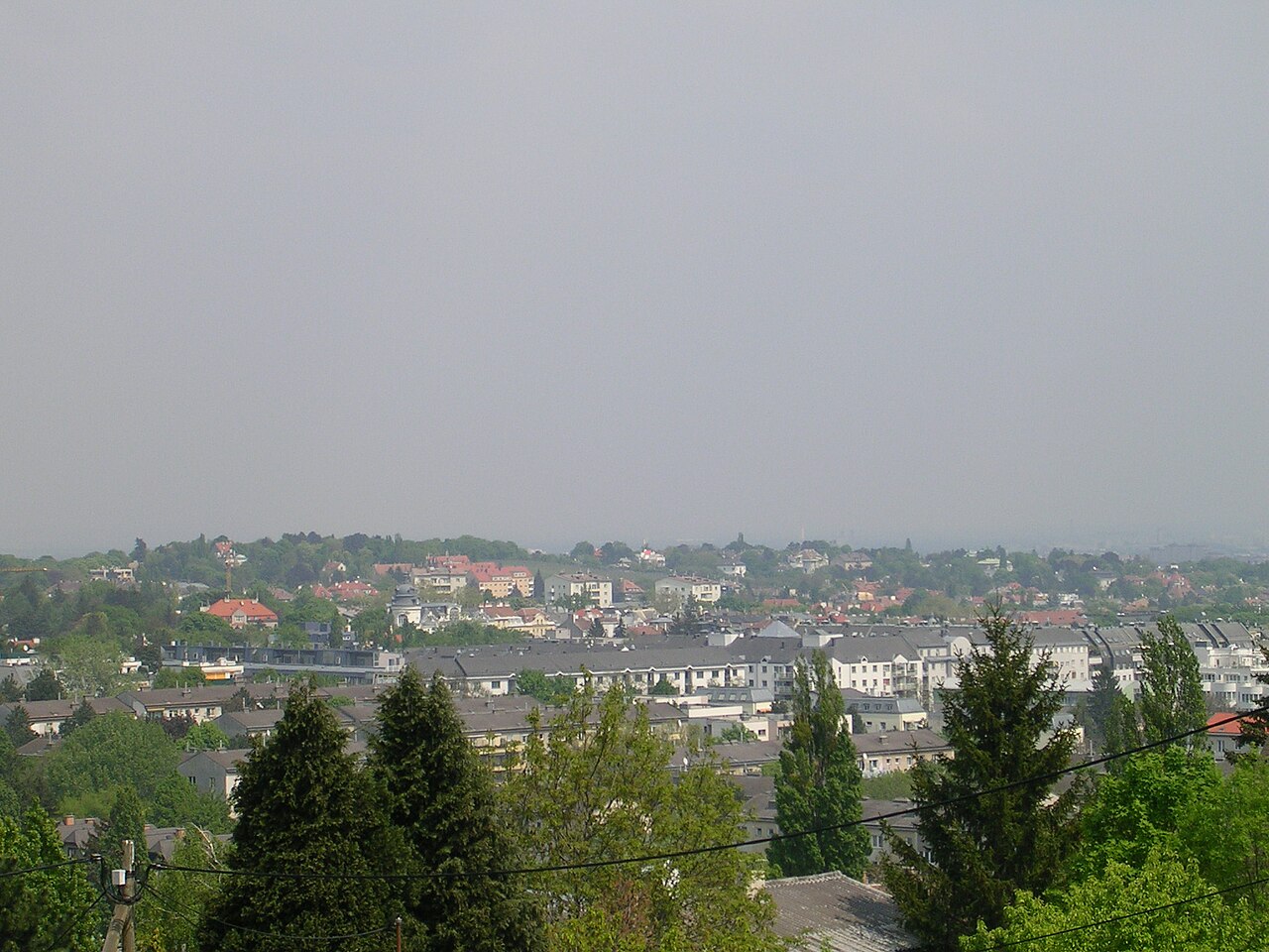
Hungerberg is a 242-metre hill in Vienna’s 19th district, Döbling, specifically in the Grinzing district area. It forms part of the northeastern foothills of the Vienna Woods and stands where the Eastern Alps transition toward the Vienna Basin. The hill is located near the Nesselbach, with Hohe Warte to the east and the Grinzinger Allee area marking part of its lower surroundings. Geological descriptions identify sand and clay from the Sarmatian period, with the upper section covered by Pleistocene gravel deposited on one of the Danube’s former terraces. Today, Hungerberg is a largely urbanised Vienna hill rather than a remote mountain landscape. The wider Grinzing–Hungerberg area is included in Vienna’s protected landscape zone for Döbling, which safeguards the character of the landscape and its environmental balance. The mapped point is recorded as a natural peak at approximately 48.2517714, 16.3464305. Hungerberg is therefore best visited as an outdoor elevated landmark within Döbling’s mixture of residential streets, vineyard landscapes and Vienna Woods surroundings.
Checked 2026-09-02
Loading the interactive map…
The interactive map could not be loaded.
Last updated:
Source: OpenStreetMap contributors, Wikidata ·