
9 min walk · Döbling
Latisberg
- High
- Viewpoint
Viewpoint · Döbling, Vienna
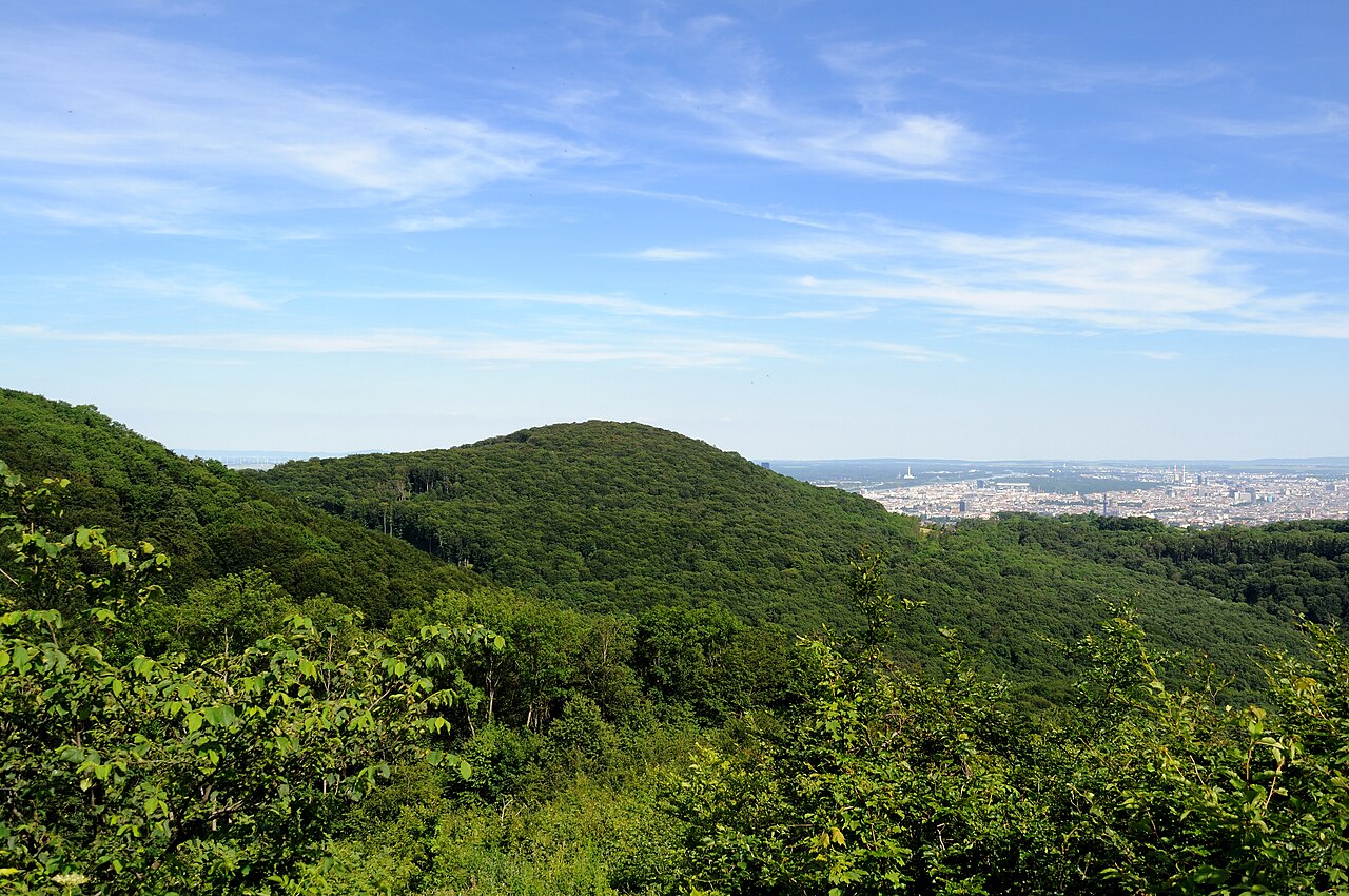
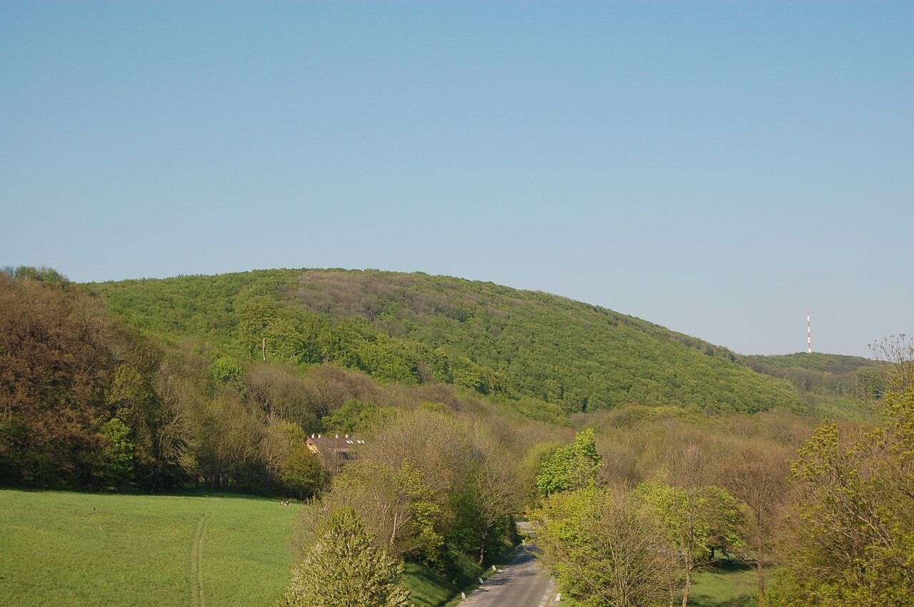
Vogelsangberg is a 516-metre hill in Vienna’s 19th district, Döbling, near the border with Lower Austria. It belongs to the Wienerwald and is the third-highest mountain in Vienna. The summit lies in the Grinzing area, while the wooded northern slope reaches toward Weidling in Klosterneuburg. Several hiking paths connect Vogelsangberg with nearby Hermannskogel, Kahlenberg and Latisberg, making it a useful point on a longer Vienna Woods walk rather than a standalone attraction with a visitor facility. The hill’s summit is covered by a relatively rare ash forest, where common ash is accompanied by wych elm and sycamore maple. Vogelsangberg is therefore best approached as a natural viewpoint and walking destination for visitors interested in Vienna’s wooded northern outskirts. The wider Wienerwald landscape has extensive, branching paths for walking and other outdoor recreation, and much of Vienna’s section is classified as Flysch Wienerwald, characterised by gently hilly terrain and mixed deciduous woodland. There is no direct normal route to the summit, so visitors should follow mapped trails and choose an approach suited to current conditions.
Checked 2026-09-02
Loading the interactive map…
The interactive map could not be loaded.
Last updated:
Source: OpenStreetMap contributors, Wikidata ·