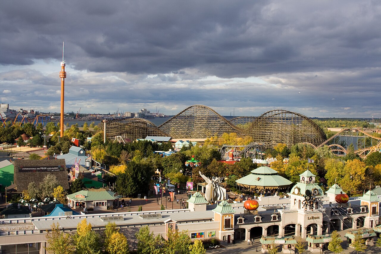
7 min walk
La Ronde
- Must see
- Entertainment venue
Viewpoint · Montreal
Pont Jacques Cartier
The Jacques Cartier Bridge is a steel truss cantilever bridge across the Saint Lawrence River, linking Montreal Island with Longueuil on the south shore. Designed by engineer Philip Louis Pratley, it opened to traffic on 14 May 1930 as the Harbour Bridge and was renamed in 1934 to honour Jacques Cartier, the explorer who mapped the St. Lawrence valley in 1534. The five-lane bridge is 3,425.6 metres long including its approach viaducts, and it crosses Saint Helen's Island, where ramps lead to Parc Jean-Drapeau and La Ronde.
Checked 2026-11-10 · Source
Since 2017, when it was refitted for the 150th anniversary of Canada and the 375th anniversary of Montreal, the bridge has carried the Living Connections lighting, whose colours and animations are scheduled to run until 2027. A chromatic calendar of 365 colours follows the seasons, while fifty-three kinds of Montreal data, including weather, traffic, noise and social-media activity, drive the light movements. The bridge's western sidewalk, widened to 2.44 metres in 2001–2002, is a bike path.
Checked 2026-11-10 · Source
It opened to traffic on 14 May 1930.
Yes. The western sidewalk was made a bike path in 2001–2002.
Yes. Decorative lighting was installed in 2017 for Canada's 150th and Montreal's 375th anniversaries.
Loading the interactive map…
The interactive map could not be loaded.

Last updated:
Source: OpenStreetMap contributors ·