2 min walk
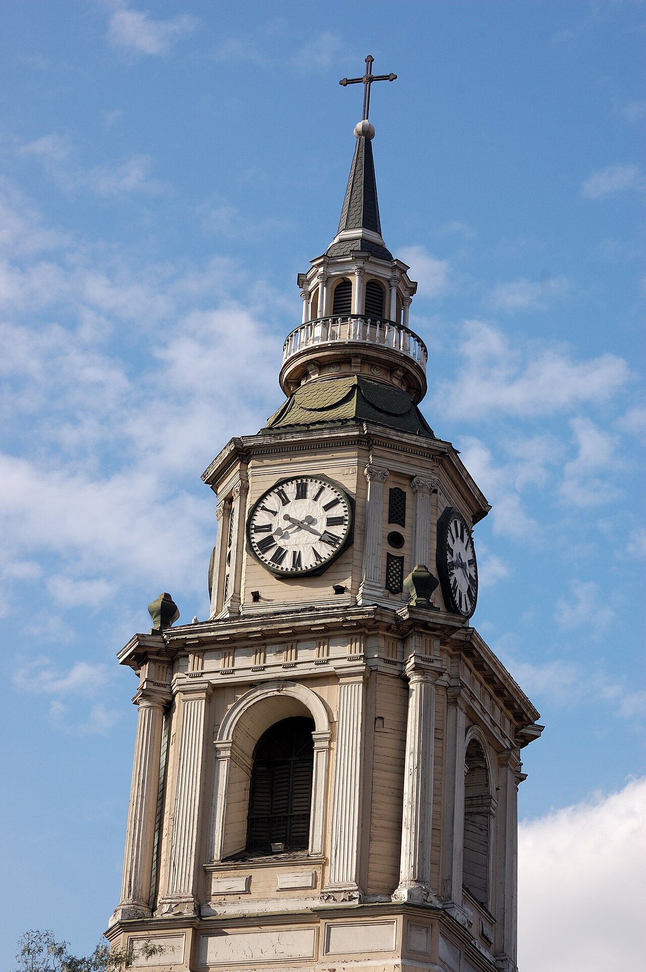
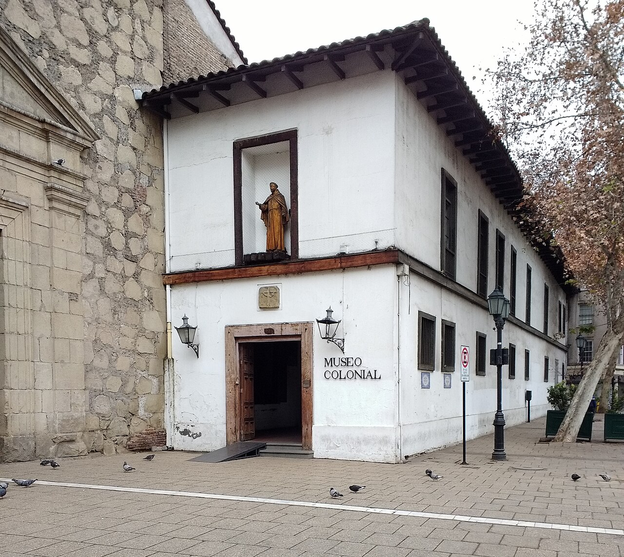
Convento San Francisco
- Must see
- Place of worship
Historic site · Santiago
Barrio París-Londres is a small neighbourhood in the central part of the commune of Santiago, known for its marked European architectural style and its narrow, winding cobbled streets. The land once belonged to the Franciscan friars of the Church of San Francisco; in the 1920s, after the church sold the plots, the quarter was laid out and built, designed by Ernesto Holzmann father and son. It is bounded by the Alameda to the north, San Francisco street to the east, Alonso Ovalle to the south and Serrano to the west.
Checked 2026-11-10 · Source
The interior streets, París and Londres, curve gently while the outer streets are straight; no building rises above five storeys and the inner streets are paved with cobblestones. Notable buildings include the headquarters of the Radical Party of Chile at the corner of París and Londres, the Instituto O'Higginiano at Londres 40, declared a Historic Monument of Chile, and the Chilean Institute of Genealogical Research at Londres 65. Londres 38 is the former repression and extermination centre that operated in 1973–1975.
Checked 2026-11-10 · Source
In central Santiago, between the Alameda to the north, San Francisco street to the east, Alonso Ovalle to the south and Serrano to the west.
A building in the quarter that was a repression and extermination centre in 1973–1975.
Loading the interactive map…
The interactive map could not be loaded.
Last updated:
Source: OpenStreetMap contributors, Wikidata ·