
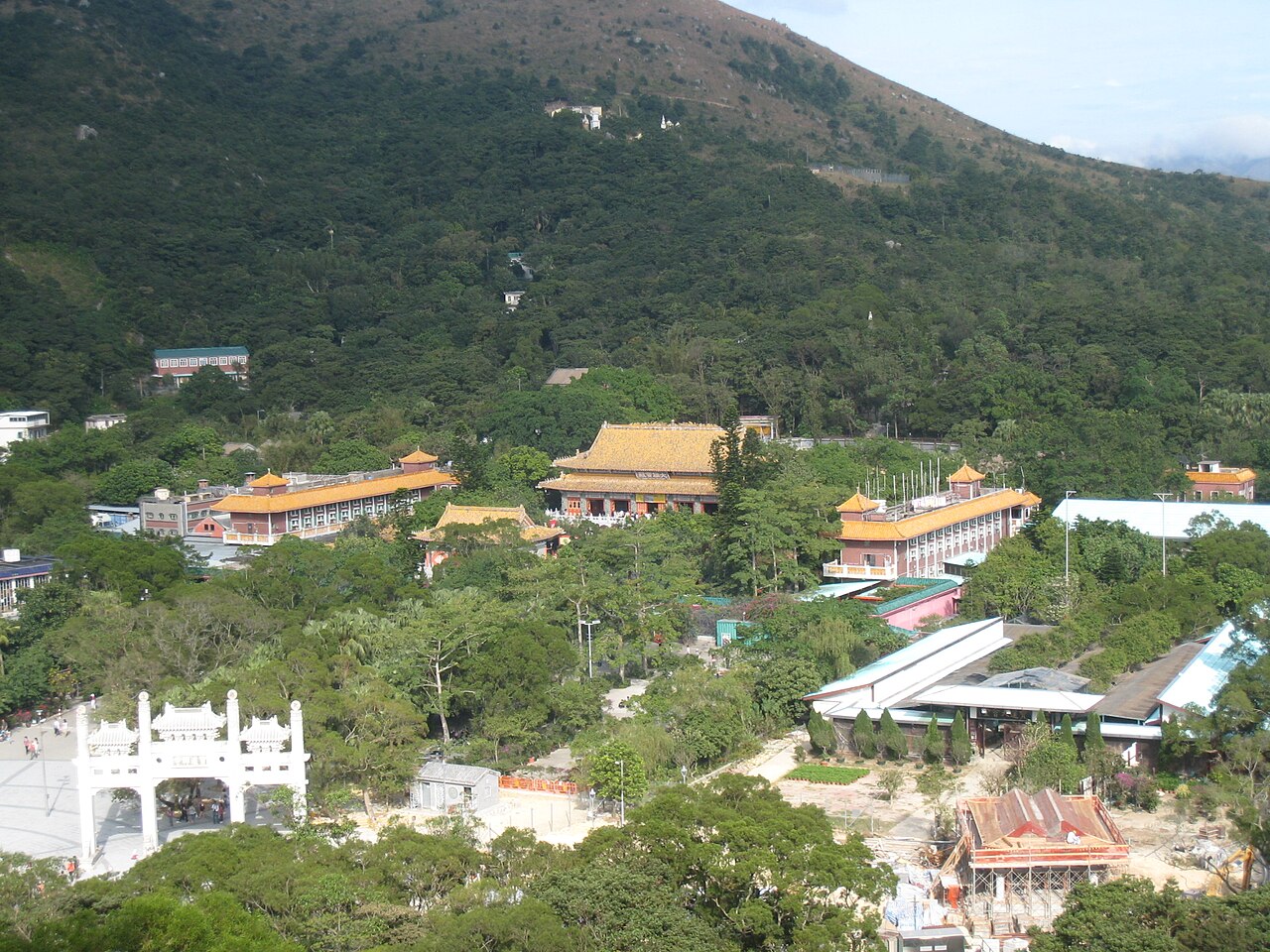
20 min walk · 離島區 Islands District
Po Lin Monastery
- Must see
- Place of worship
Language · 11 published
Viewpoint · 離島區 Islands District, Hong Kong
鳳峰 Lantau Peak
Reviewed by Elena Voss · Roavina Travel Editor
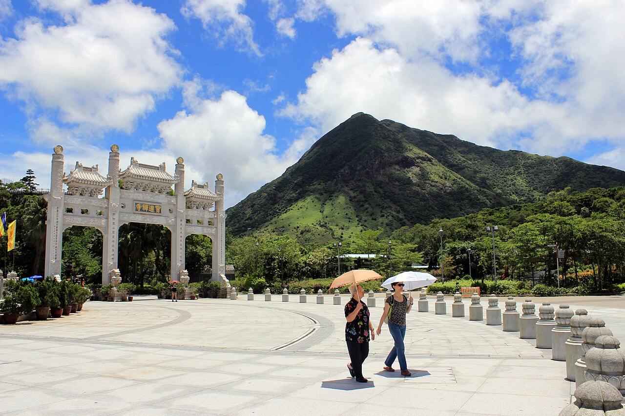
This place is a Peak.
Lantau Peak, known locally as 鳳峰, stands as the highest point on Lantau Island in Hong Kong. This prominent summit rises within Lantau Country Park, offering commanding views across the territory. The peak forms part of the Lantau Trail network, a long-distance hiking route that circles the island. Its elevation makes it a significant landmark visible from many parts of western Hong Kong, including the airport and surrounding waters. The mountain represents one of the most challenging yet rewarding natural attractions accessible from the urban core.
Checked 2026-08-26
The summit area of Lantau Peak consists primarily of open grassy slopes and rocky outcrops typical of Hong Kong's higher elevations. Vegetation transitions from subtropical forest at lower levels to more exposed shrubland near the top. Hikers will find no built facilities at the peak itself—no shelters, restaurants, or visitor centres. The landscape offers unobstructed panoramas in multiple directions, including views of the South China Sea, neighbouring islands, and on clear days the silhouette of Macau. The terrain demands proper footwear and carries inherent exposure risks.
Checked 2026-08-26
The standard ascent via the Lantau Trail Section 3 typically requires between three and four hours of continuous walking from the nearest access point, with descent adding similar duration. Total expedition time commonly extends to six or eight hours depending on individual fitness, rest stops, and weather conditions. The route covers substantial elevation gain, making it considerably more demanding than many urban Hong Kong walks. Visitors should allocate a full day for this excursion, particularly if combining with other Lantau attractions such as the Tian Tan Buddha or Ngong Ping village.
Checked 2026-08-26
Lantau Peak can be attempted throughout the year, though conditions vary significantly by season. Summer months bring high temperatures, intense humidity, and elevated risk of thunderstorms, making early morning starts essential. Winter offers cooler, drier conditions generally preferred by experienced hikers. Typhoon season demands particular vigilance. Visibility fluctuates dramatically—clear days yield exceptional views, while fog and low cloud frequently obscure the landscape, particularly during spring and humid periods. Check the operator's own site for the travel date before relying on a schedule or fare.
Checked 2026-08-26
Access to Lantau Peak requires no admission fee as it lies within Hong Kong's country park system. No ticketing infrastructure exists at trailheads or summit. The Ngong Ping 360 cable car and certain bus services to Tung Chung or Ngong Ping involve commercial charges, though these remain independent of peak access itself. No guided tour purchase is mandatory for independent hikers with adequate experience and preparation. Check the operator's own site for the travel date before relying on a schedule or fare.
Checked 2026-08-26
Primary access routes begin from Ngong Ping, reachable by MTR Tung Chung line followed by Ngong Ping 360 cable car or New Lantao Bus routes. From Ngong Ping, the Lantau Trail Section 3 ascends toward the peak. Alternative approaches exist from Pak Kung Au via bus transport. The MTR network connects Tung Chung to central Hong Kong efficiently. Road access does not reach the summit itself—final approach demands walking. Night transport is significantly reduced; visitors planning dawn or dusk walks must verify return schedules carefully to avoid stranding.
Checked 2026-08-26
Lantau Peak presents genuine hiking hazards requiring respect. Steep, uneven terrain becomes treacherous when wet; exposed ridges offer minimal protection during sudden weather changes. Summer heat exhaustion and dehydration pose serious risks—carry substantially more water than anticipated. Mobile phone coverage remains unreliable in sections. Wildlife includes feral cattle and occasional snakes. No emergency services are stationed on the mountain. Solo hiking is inadvisable for those unfamiliar with the route. Inform others of intended timing. Weather can deteriorate rapidly; turn back rather than persist through deteriorating visibility or approaching storms.
Checked 2026-08-26
The summit provides exceptional photographic opportunities when atmospheric conditions permit. Sunrise and sunset images capture dramatic light across sea and land, though these require careful timing with transport schedules. Wide-angle lenses accommodate expansive vistas; telephoto equipment isolates distant features including airport runways and island silhouettes. Early morning often yields clearer atmospheric conditions before heat haze develops. No artificial lighting exists for night photography—headlamps essential for dawn or dusk shoots. Tripod use is feasible given open terrain, though wind exposure demands stability. Respect other hikers' summit experience when positioning for shots.
Checked 2026-08-26
Not recorded. The route involves substantial elevation gain and exposed terrain. Visitor judgement should assess personal fitness and hiking experience against these demands.
Not recorded. The summit has no built infrastructure. Visitors should plan accordingly before commencing the ascent.
Not recorded. Wet conditions significantly increase slip hazards on steep, rocky surfaces. Cautious judgement would weigh safety risks against completion desire.
Not recorded. Hong Kong country park regulations apply; visitors should verify current camping designations through official channels rather than assuming permission.
Not recorded. The two peaks offer fundamentally different experiences—Lantau Peak requires dedicated hiking effort without urban infrastructure, while Victoria Peak features developed tourist amenities.
Not recorded. Country park leash regulations may apply; visitors should confirm current rules before bringing animals.
Loading the interactive map…
The interactive map could not be loaded.
Last updated:
Source: OpenStreetMap contributors, Wikidata ·