
17 min walk · 黃大仙區 Wong Tai Sin District
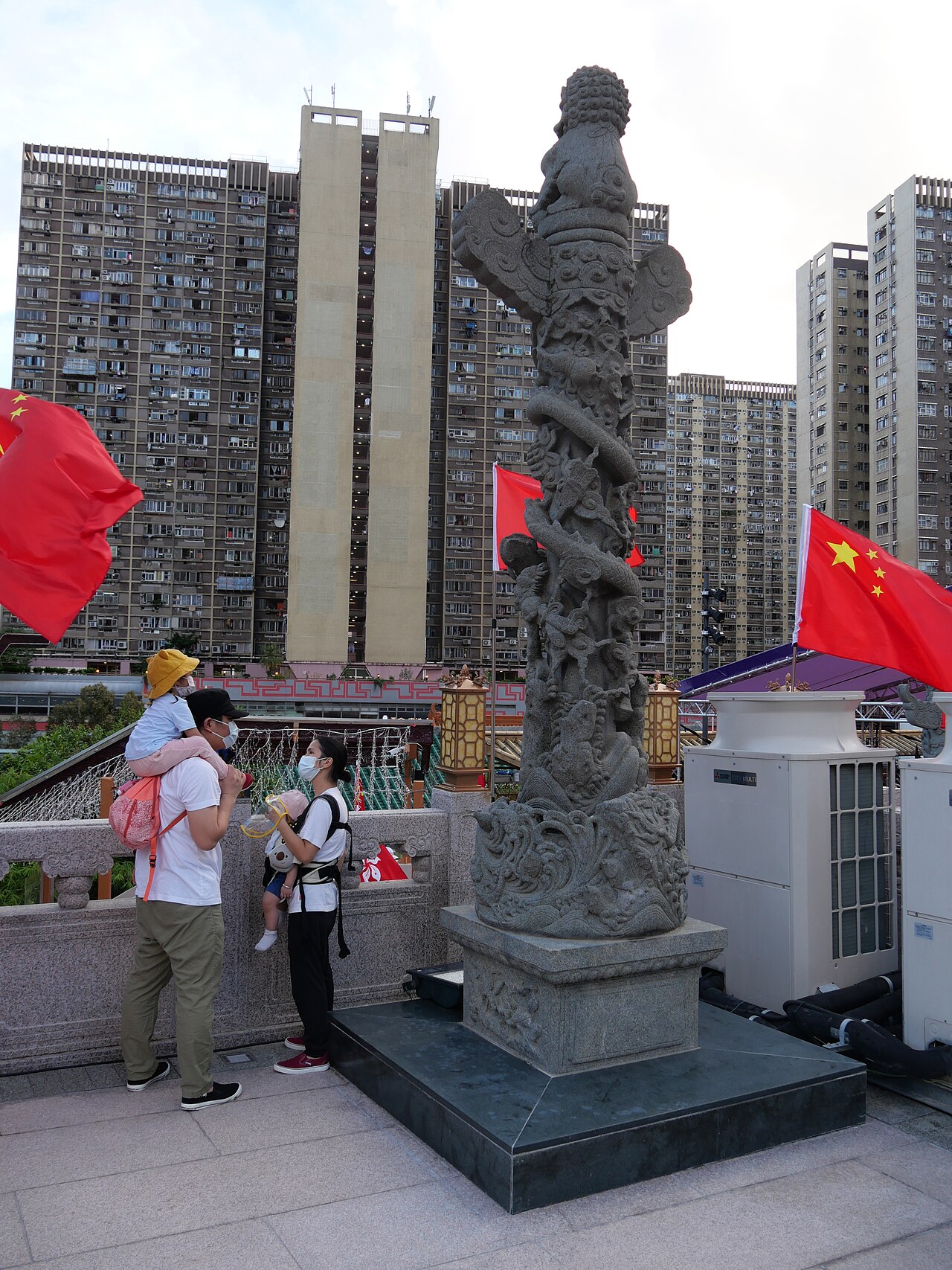
Wong Tai Sin Temple
- Must see
- Place of worship
Language · 11 published
Viewpoint · 沙田區 Sha Tin District, Hong Kong
獅子山 Lion Rock
Reviewed by Elena Voss · Roavina Travel Editor
This place is a Peak.
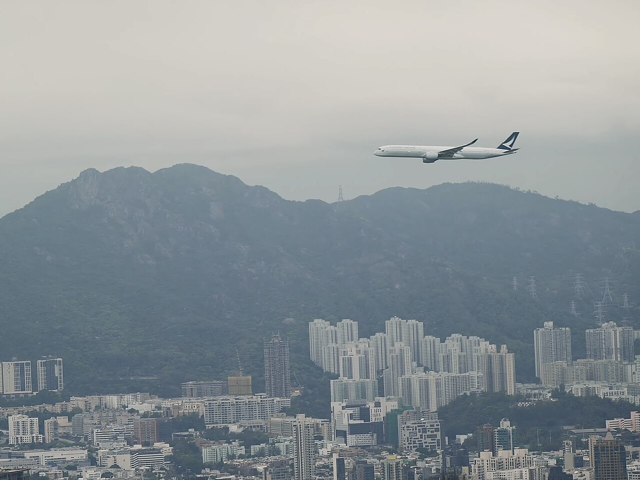
Lion Rock is a prominent mountain in Hong Kong, situated in Sha Tin District within the Lion Rock Country Park. The peak rises above Kowloon and is one of the most recognisable natural landmarks in the territory. Its name derives from the rock formation at the summit, which resembles a crouching lion when viewed from certain angles. The site holds significant cultural meaning for Hong Kong residents and frequently appears in local media and popular culture as a symbol of the city's spirit and resilience.
Checked 2026-08-26
The Lion Rock trail leads hikers through country park terrain to the summit area with its distinctive rock formation. The route passes through subtropical forest with varied vegetation typical of Hong Kong's upland ecology. At the summit, walkers find exposed granite outcrops and panoramic viewpoints. The country park contains no visitor centre, refreshment facilities, or maintained amenities at the peak itself. The trail surface consists of natural earth, stone steps, and some paved sections. Signage along the route provides directional guidance for walkers navigating the path.
Checked 2026-08-26
The standard hiking route to Lion Rock summit and return typically requires between three and four hours of walking time for reasonably fit individuals. The distance covered depends on the chosen starting point, with common access routes from Wong Tai Sin, Sha Tin Pass, or Tai Wai. Elevation gain is substantial and involves sustained ascent on stepped sections. Actual duration varies considerably with individual fitness, weather conditions, rest stops, and photographic pauses. Walkers should allocate additional time for descent, as downhill sections on uneven terrain demand careful foot placement and slower progress than anticipated.
Checked 2026-08-26
Lion Rock Country Park remains accessible throughout the year, though hiking conditions vary seasonally. Summer months bring high temperatures, humidity, and risk of afternoon thunderstorms that create hazardous conditions on exposed ridges. Winter offers cooler, drier conditions generally more comfortable for sustained physical exertion. Visibility for summit views fluctuates with air quality and weather patterns. Visitors should consult the Agriculture, Fisheries and Conservation Department website for any access restrictions, trail closures, or official advisories before planning their visit, as maintenance works or safety concerns may affect route availability. Check the operator's own site for the travel date before relying on a schedule or fare.
Checked 2026-08-26
Access to Lion Rock Country Park and the hiking trail to the summit requires no admission fee, as the area forms part of Hong Kong's public country park system. No ticketing infrastructure exists at trailheads or along the route. Visitors should verify current arrangements through official channels before travelling, as policy changes occasionally affect country park access. No guided tour is necessary for independent hikers capable of following marked trails. Commercial operators may offer organised walks for which separate charges would apply, though these are not required for basic access. Check the operator's own site for the travel date before relying on a schedule or fare.
Checked 2026-08-26
Multiple public transport options serve the various trailheads accessing Lion Rock. The Wong Tai Sin approach connects to MTR Wong Tai Sin station with subsequent walking through temple precincts to Sha Tin Pass Road. Tai Wai access uses MTR Tai Wai station with connecting paths through Lower Shing Mun Reservoir area. Bus services operate along roads near park boundaries. Private vehicles may reach limited parking at Sha Tin Pass Road, though spaces are restricted and fill early on weekends. Taxi access is possible to designated drop points. No direct transport reaches the summit; all routes require walking.
Checked 2026-08-26
The Lion Rock trail presents genuine hiking challenges requiring appropriate preparation. Sections involve steep, uneven stone steps with significant exposure in places. Wet conditions create slippery surfaces dangerous for descent. The route offers minimal shade on upper sections, creating sun exposure and dehydration risks. No emergency services or rescue points exist along the trail. Mobile telephone coverage may be intermittent. Walkers should carry adequate water, as no potable sources are available. Solo hiking is inadvisable. Informing others of intended route and return time represents essential safety practice. Weather can deteriorate rapidly with limited shelter options on the exposed ridge.
Checked 2026-08-26
The summit of Lion Rock offers extensive photographic possibilities encompassing urban and natural subjects. The Kowloon and Victoria Harbour skyline provides dramatic backdrop opportunities, particularly during atmospheric conditions that enhance depth and clarity. The lion-shaped rock formation itself constitutes the iconic mandatory image for most visitors. Early morning and late afternoon light produces more flattering illumination than harsh midday sun. Tripod use requires caution due to crowded summit conditions and uneven footing. Drone operation falls under Hong Kong aviation regulations requiring appropriate permits. Weather-dependent visibility fundamentally determines photographic success, with haze frequently obscuring distant views regardless of apparent atmospheric clarity.
Checked 2026-08-26
The trail involves sustained steep ascent on uneven surfaces with significant elevation gain. Reasonable fitness and proper footwear are essential. Beginners with adequate preparation may manage, though the route exceeds casual walking difficulty.
No toilet facilities exist along the trail or at the summit. The nearest public conveniences are located at trailheads or transport interchanges before commencing the walk.
The country park has no official closing time or gating system, though night hiking presents substantially increased risks from reduced visibility, disorientation, and absence of emergency assistance. Most visitors complete walks during daylight hours.
No potable water sources are available along the trail. Visitors must carry sufficient supplies for the entire duration, typically requiring more than anticipated due to exertion and exposure.
Dial 999 for emergency services if mobile coverage permits. The trail has no emergency call points or ranger stations. Self-rescue capability and informing others of planned route are essential precautions.
Visibility varies considerably with weather, season, and air quality conditions. Haze and cloud frequently obscure views regardless of apparent weather at lower elevations. No guarantee exists for clear panoramas on any given day.
Loading the interactive map…
The interactive map could not be loaded.
Last updated:
Source: OpenStreetMap contributors, Wikidata ·