
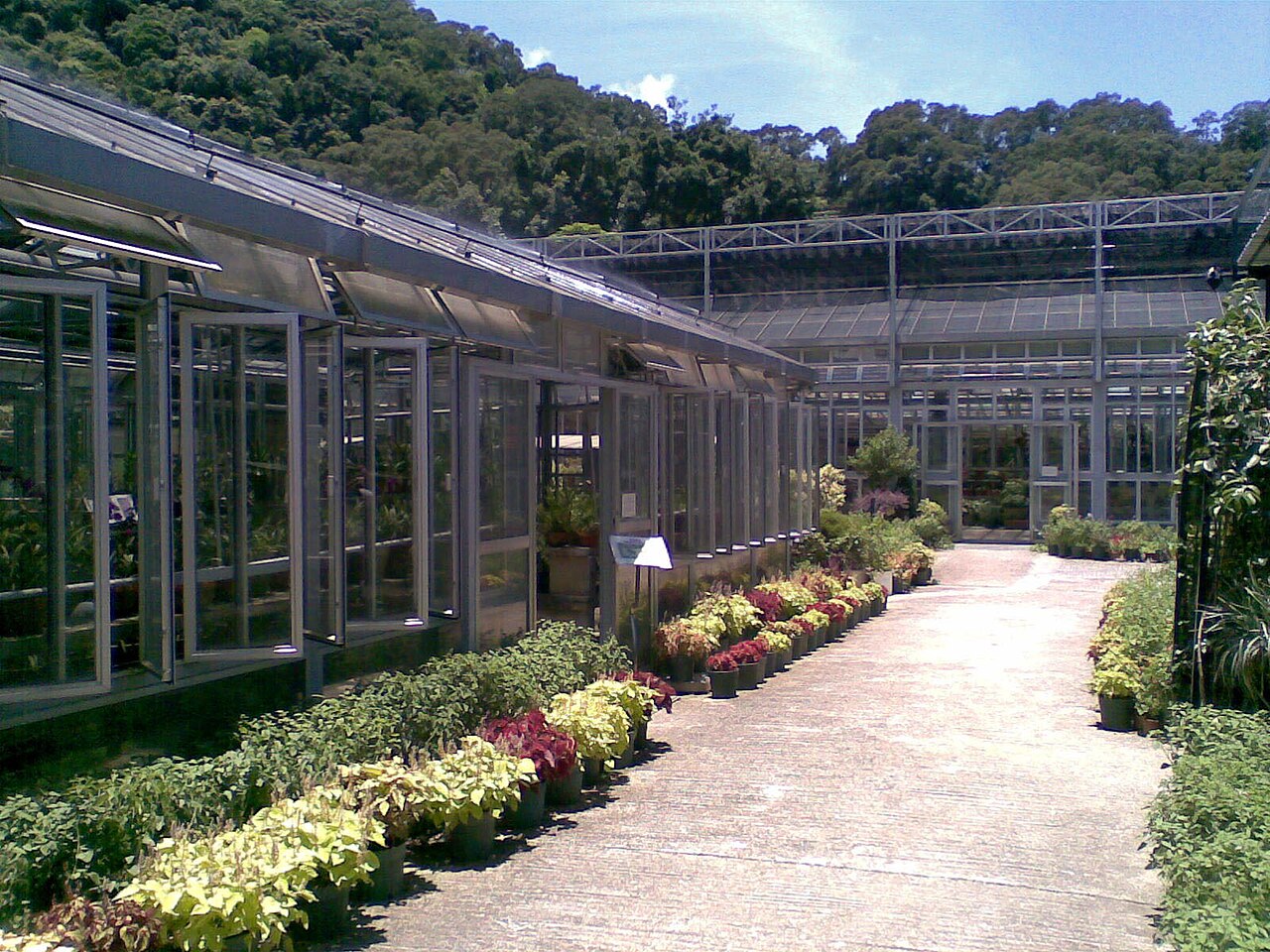
27 min walk · 大埔區 Tai Po District
Kadoorie Farm and Botanic Garden
- Must see
- Family attraction
Language · 11 published
Viewpoint · 荃灣區 Tsuen Wan District, Hong Kong
大帽山 Tai Mo Shan
Reviewed by Elena Voss · Roavina Travel Editor
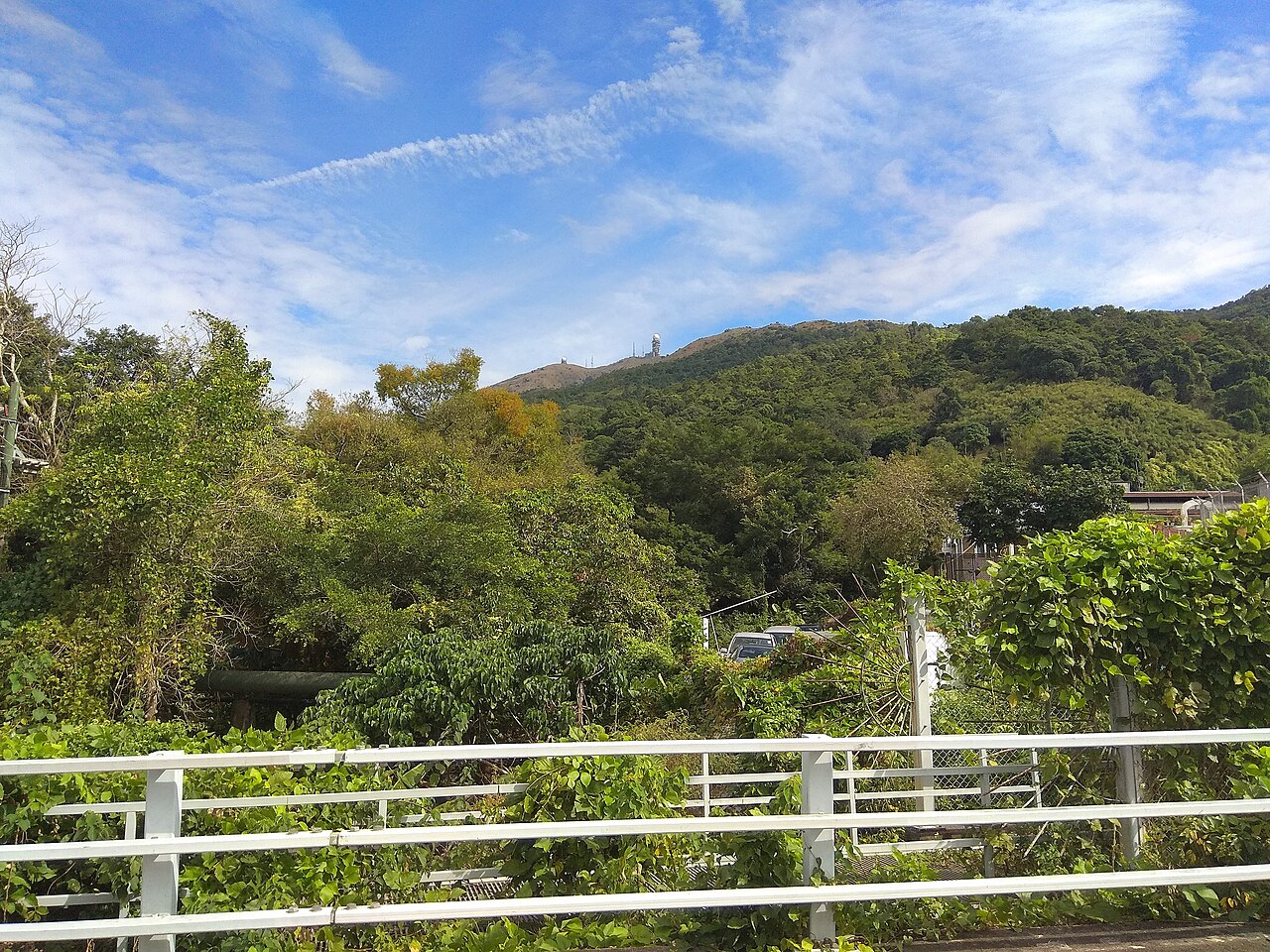
This place is a Peak.
Tai Mo Shan, known locally as 大帽山, stands as the highest peak in Hong Kong at an elevation that dominates the New Territories landscape. This prominent mountain forms part of the Tai Mo Shan Country Park and represents one of the territory's most significant natural landmarks. The summit area features weather radar installations operated by the Hong Kong Observatory, reflecting its strategic meteorological importance. The mountain's name translates approximately to Big Hat Mountain, describing its distinctive rounded summit shape visible across much of Hong Kong.
Checked 2026-08-26
The Tai Mo Shan area encompasses substantial country park territory with mountain trails, forested slopes, and the distinctive summit facilities. The upper reaches include the Hong Kong Observatory's weather radar station, a notable man-made feature on the peak. Vegetation varies with altitude, ranging from subtropical forest at lower elevations to more exposed grassland and shrub communities near the summit. The MacLehose Trail Section 8 passes through this area, providing established hiking access. Water catchment facilities and related infrastructure are present given the mountain's role in Hong Kong's water supply history.
Checked 2026-08-26
Visitor time at Tai Mo Shan varies considerably based on chosen activities and starting point. A vehicle can reach near the summit via Tai Mo Shan Road, reducing transit time significantly. Hikers approaching from lower trailheads should anticipate substantially longer durations. The MacLehose Trail Section 8 crossing requires several hours for through-hikers. Weather conditions, particularly the mountain's frequent mist and cloud cover, may extend or complicate visits. Photography stops, summit observation, and rest periods add variable time. Visitors should plan conservatively and carry adequate supplies regardless of intended duration.
Checked 2026-08-26
Tai Mo Shan experiences notably cooler temperatures than Hong Kong's urban areas due to its elevation, with occasional frost or near-freezing conditions in winter months. The mountain is frequently enveloped in cloud and mist, reducing visibility unpredictably. Summer visits encounter hot, humid conditions with significant rainfall risk and potential thunderstorm exposure on exposed ridges. Sunrise and sunset viewing attracts visitors, though clear conditions are not guaranteed. Visitors should consult current weather forecasts and country park information before planning specific timing. Check the operator's own site for the travel date before relying on a schedule or fare.
Checked 2026-08-26
Tai Mo Shan Country Park forms part of Hong Kong's public country park system. Standard country park access does not typically involve entrance fees for general visitation. Specific facilities, parking arrangements, or special services may involve separate arrangements. The weather radar station at the summit is government operational infrastructure, not a visitor attraction with public access. Visitors should verify current arrangements through official Hong Kong country park channels before visiting, particularly if accessing via private vehicle where parking regulations may apply. Check the operator's own site for the travel date before relying on a schedule or fare.
Checked 2026-08-26
Tai Mo Shan Road provides vehicular access toward the summit area, though restrictions may apply to private vehicles in certain sections. Public transport options include bus services to points near the country park boundary, requiring onward walking. The MacLehose Trail Section 8 offers pedestrian approach for hikers. Route 51 bus serves the general area with stops requiring additional walking. Taxi services may access portions of Tai Mo Shan Road. Visitors should verify current transport arrangements and any road access restrictions through official Transport Department or country park sources before departure, as conditions may change.
Checked 2026-08-26
Tai Mo Shan's elevation creates distinct hazards including rapid weather deterioration, temperature drops, and strong winds particularly on exposed summit ridges. Summer lightning risk demands immediate descent during thunderstorm development. The road and trail network includes steep sections requiring appropriate footwear and physical preparation. Mist and low cloud reduce navigation visibility significantly. Mobile telephone coverage may be inconsistent in terrain-shielded areas. The summit weather radar installation is operational government equipment, not a visitor facility. Country park regulations prohibit littering, fire-making, and vegetation damage. Visitors should carry emergency supplies and inform others of intended routes and return timing.
Checked 2026-08-26
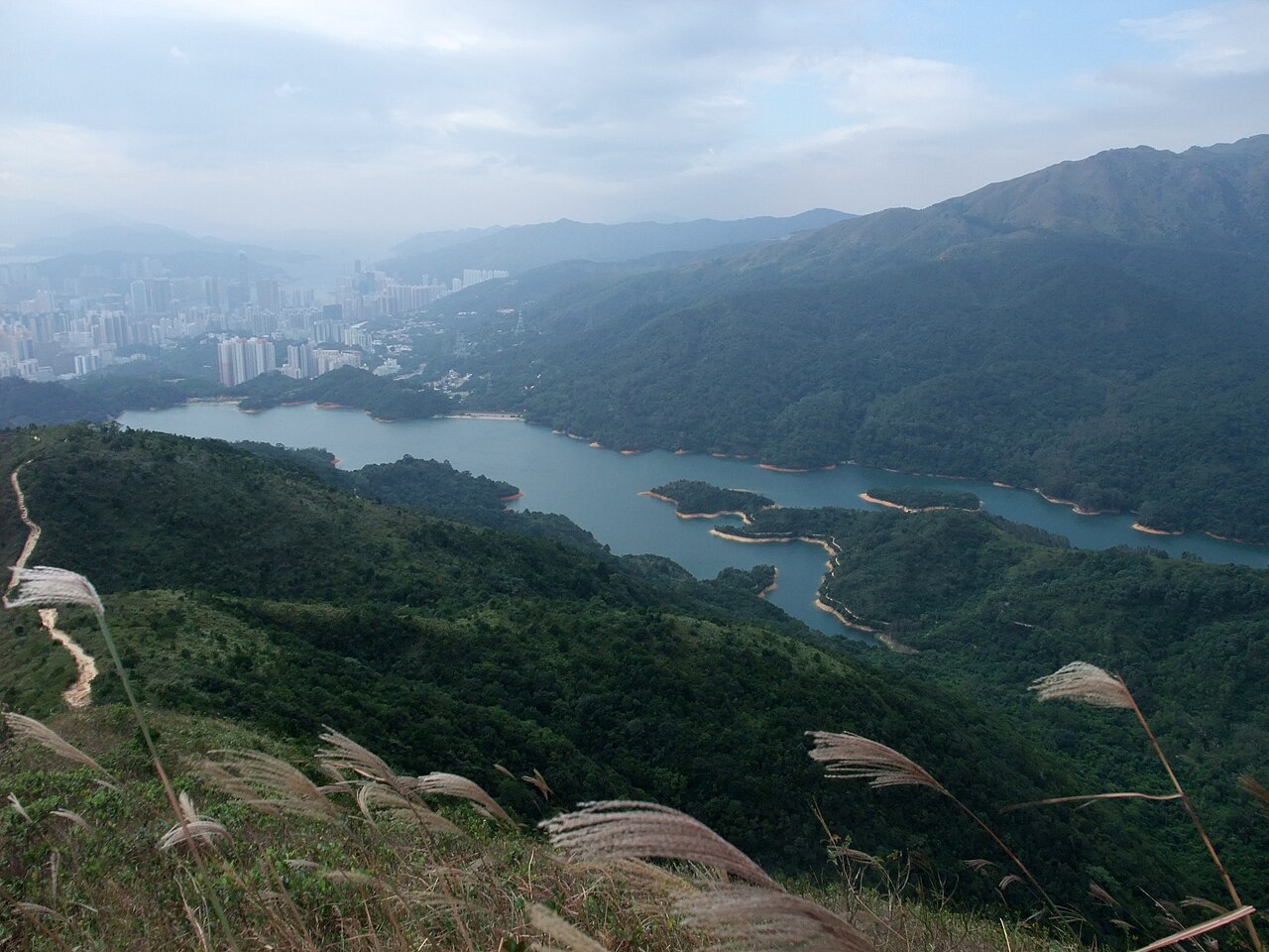
Tai Mo Shan offers extensive photography potential encompassing panoramic vistas, atmospheric weather phenomena, and distinctive summit infrastructure. Clear conditions permit views across the New Territories and toward urban Hong Kong, though such clarity is intermittent. The weather radar installation presents an unusual subject against natural surroundings. Morning mist flowing through valleys creates atmospheric opportunities. Sunrise and sunset positioning requires advance scouting given unpredictable visibility. The exposed summit demands secure equipment handling in wind. Tripod stability may be compromised by gust conditions. Visitors should balance photographic objectives with safety considerations, particularly regarding weather changes and remaining on designated paths.
Checked 2026-08-26
Not recorded.
The weather radar station is operational government infrastructure operated by the Hong Kong Observatory and is not a public visitor facility.
Check the operator's own site for the travel date before relying on a schedule or fare.
Tai Mo Shan Road provides access toward the summit area, though restrictions may apply; visitors should verify current regulations through official sources.
Route 51 bus serves the general area with stops requiring additional walking to reach the mountain; visitors should verify current schedules.
Camping regulations for Tai Mo Shan Country Park should be verified through official Agriculture, Fisheries and Conservation Department channels; designated campsites exist in Hong Kong country parks with specific rules.
Loading the interactive map…
The interactive map could not be loaded.
Last updated:
Source: OpenStreetMap contributors, Wikidata ·