

.jpg)


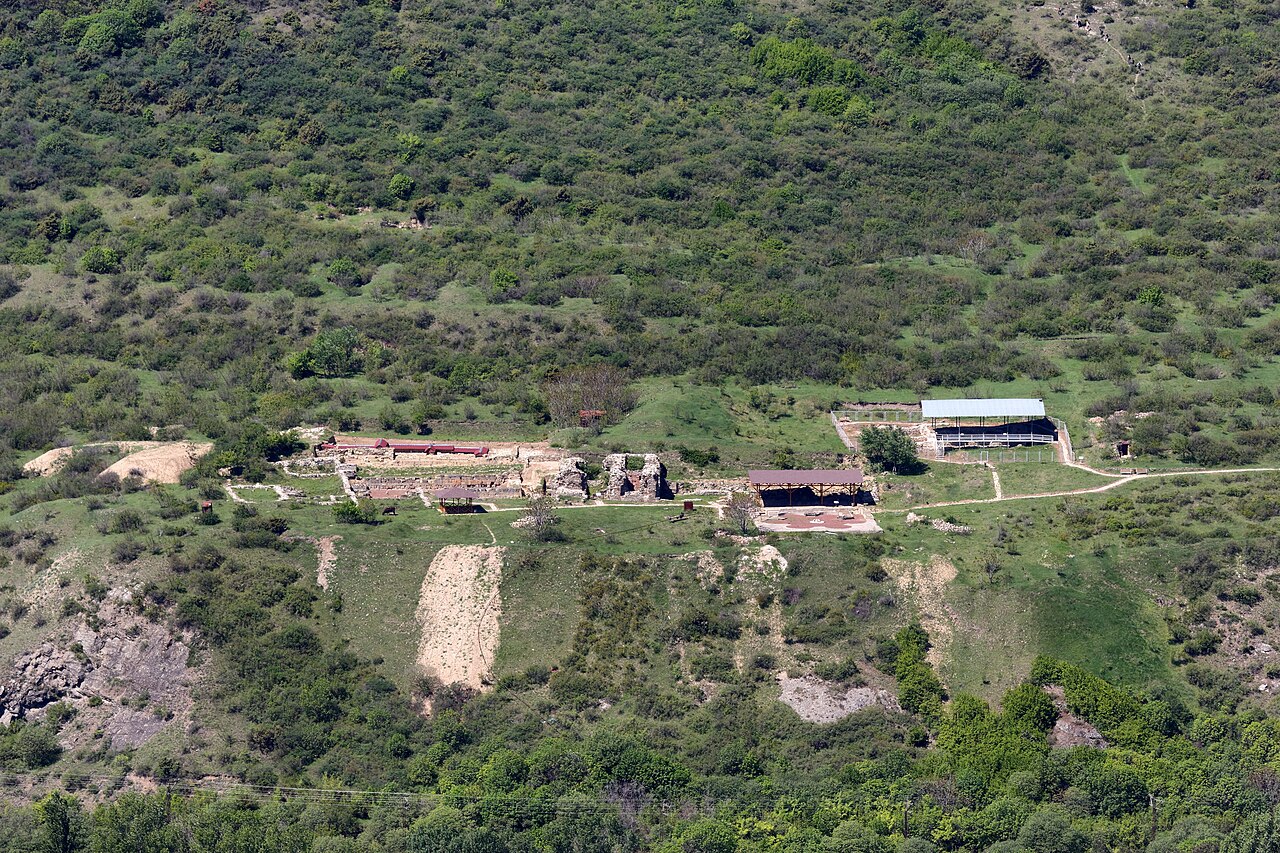
13 min walk
Armaztsikhe
- Must see · Heritage site
- Historic monument
Language · 11 published
Place of worship · Tbilisi
ჯვრის მონასტერი
Reviewed by Elena Voss · Roavina Travel Editor
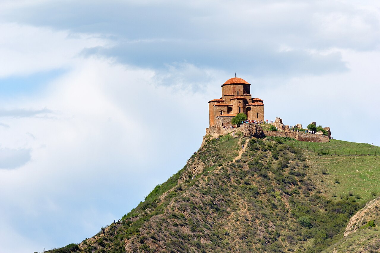
This place is a Attraction. It carries the Cultural Monuments of National Importance of Georgia heritage designation.
Jvari Monastery is a sixth-century hilltop church above Mtskheta, overlooking the meeting point of the Mtkvari and Aragvi rivers. Its Georgian name is ჯვრის მონასტერი. The site combines early Georgian architecture with a wide landscape view over the historic town and river confluence. From Tbilisi, it makes a strong half-day excursion for travelers who want a major religious monument together with an elevated panorama outside the capital. Jvari Monastery is a sixth-century hilltop church overlooking the confluence of the Mtkvari and Aragvi rivers above Mtskheta. The local name is ჯვრის მონასტერი. It represents exceptional early Georgian architecture and occupies a position of historical and visual significance in the region. The site pairs architectural importance with the classic panorama over Mtskheta, making it a landmark of considerable heritage value for visitors to the Tbilisi area. Visitors must verify current operational status before travel.
Checked 2026-08-26 · Source
The monastery centres on a historic church whose compact form reflects early Georgian religious architecture. The main experience comes from the relationship between the stone building, its hilltop setting, and the broad view toward Mtskheta below. There is no large museum circuit described for the site, so focus on the church, its exterior details, and the landscape. The religious character remains central: visitors should move quietly and respect worship. The monastery contains early Georgian architectural elements characteristic of sixth-century construction. Visitors should expect a historic religious structure with the typical spatial arrangement of early Georgian church design. The hilltop position provides views of the surrounding landscape rather than extensive interior complexes. Cautious visitor judgement suggests treating the site primarily as an architectural and scenic destination rather than a location with numerous interior attractions or exhibitions.
Checked 2026-08-26 · Source
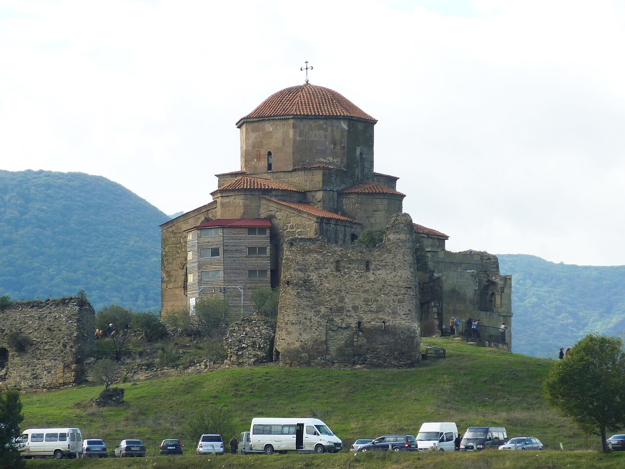
Plan roughly forty-five to ninety minutes at Jvari Monastery. That gives enough time to see the church, walk around the hilltop, take in the Mtkvari–Aragvi confluence, and make photographs without rushing. Add the road journey from Tbilisi and the return trip when planning the day. The compact church does not require hours of interior exploration, while the open setting rewards a slower circuit outside. A visit to Jvari Monastery typically requires sufficient time to appreciate the architecture and panoramic views. The hilltop location and confluence vista invite contemplation. Most visitors would reasonably allocate between forty-five minutes and ninety minutes for the complete experience, depending on interest in photography and the surrounding scenery.
Checked 2026-08-26 · Source
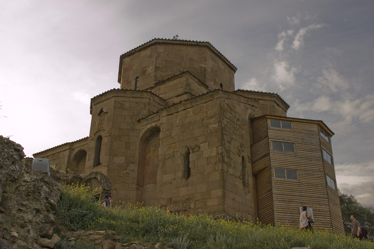
Morning and late afternoon are especially attractive for the hilltop view, when the light can define the rivers, town, and church walls. Summer offers long daylight but strong sun on the exposed summit. In winter, wind, cold, and difficult road conditions can make the excursion less comfortable. Choose a clear-weather period when the panorama matters most, and leave enough daylight for the return journey to Tbilisi.
Checked 2026-08-26 · Source
Jvari Monastery is an active religious and heritage site above Mtskheta. The visit should be planned around the church and its setting rather than around a commercial attraction format. Carry what you need for a short rural excursion, including water and suitable clothing. If a donation is requested, treat it as support for the religious site. No fixed admission amount is included in this guide.
Checked 2026-08-26 · Source
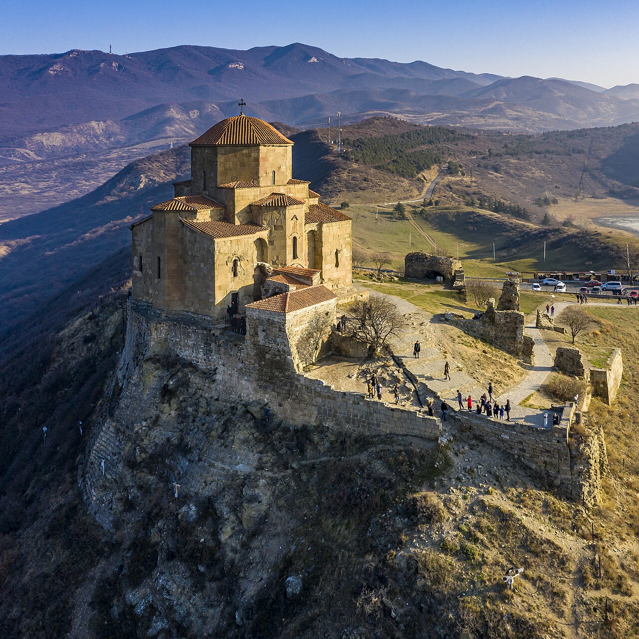
The monastery is about twenty kilometres northwest of Tbilisi, on a hill above Mtskheta. Road travel is the practical way to reach the summit. You can travel toward Mtskheta by public transport and arrange the uphill section separately, or use a private vehicle or organised tour for a simpler return journey. Plan the outbound and return legs together because the hilltop is separate from Mtskheta’s lower town.
Checked 2026-08-26 · Source

The summit is exposed to wind and sun, and the approach is rural rather than urban. Wear shoes suited to uneven or sloping ground and bring water for the visit. Weather can change the comfort of the road and hilltop quickly. As an active monastery, the church calls for quiet conduct and respectful clothing. Keep children close near open edges and allow extra time if conditions slow the drive.
Checked 2026-08-26 · Source
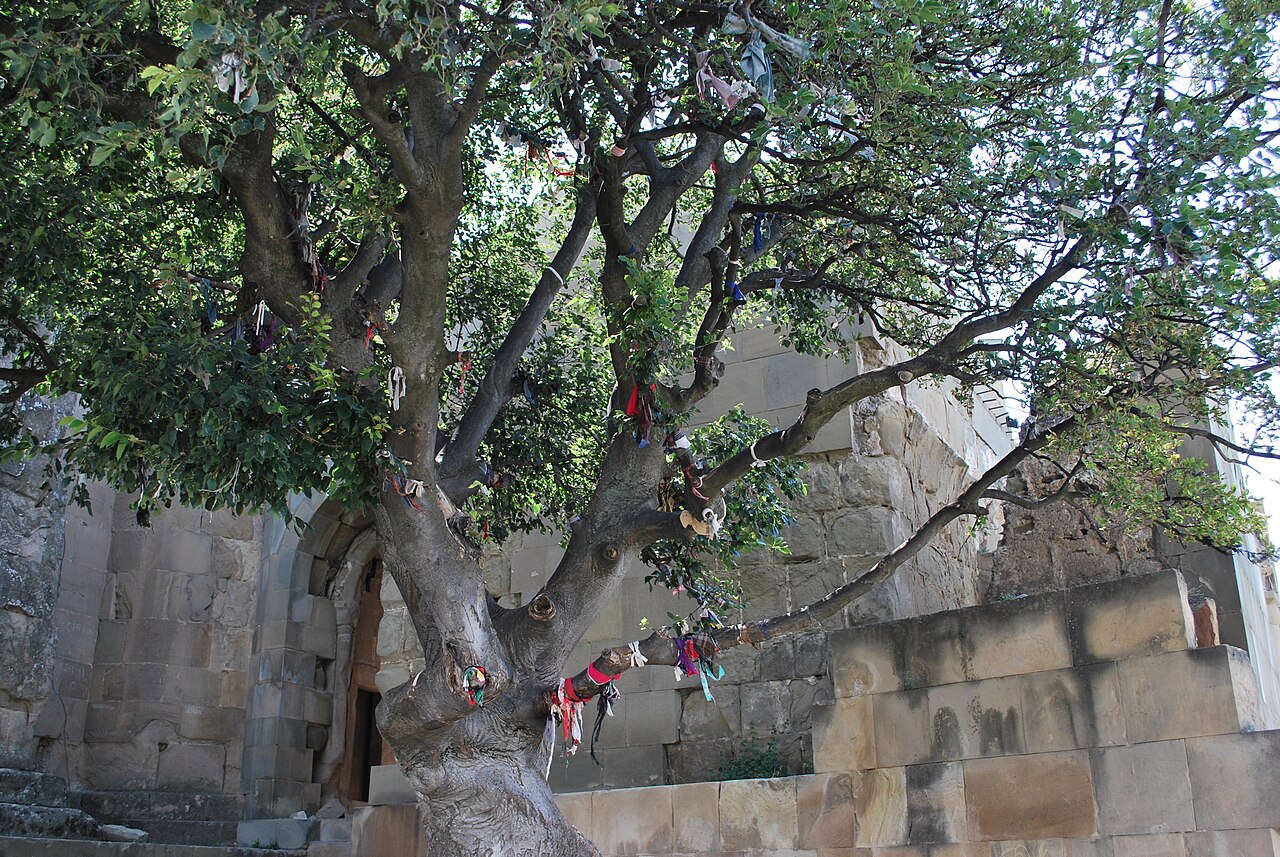
Jvari’s strongest photographic subject is the panorama: Mtskheta below, the Mtkvari and Aragvi rivers, and the surrounding landscape. The sixth-century church also rewards close architectural views from outside. Morning and evening light give the stonework and river valley different character. Inside, keep photography subordinate to worship and follow any local instructions. A clear day matters more than elaborate equipment because haze can reduce the distant view.
Checked 2026-08-26 · Source
It is a sixth-century hilltop church representing early Georgian architecture and overlooking the Mtkvari–Aragvi river confluence above Mtskheta.
Allow about forty-five to ninety minutes on site for the church, hilltop setting, river view, and photographs, plus travel time from Tbilisi.
The monastery is approximately twenty kilometres northwest of Tbilisi, above Mtskheta.
Road travel is needed for the hilltop. Options include public transport to Mtskheta followed by an onward arrangement, a private vehicle, or an organised tour.
The hilltop overlooks Mtskheta and the confluence of the Mtkvari and Aragvi rivers, with a broad surrounding landscape view.
Bring water, sun protection, and shoes suitable for uneven or sloping ground. Respectful clothing and quiet behaviour are appropriate for the active monastery.
Loading the interactive map…
The interactive map could not be loaded.
Last updated:
Source: OpenStreetMap contributors, Wikidata ·