56 min walk
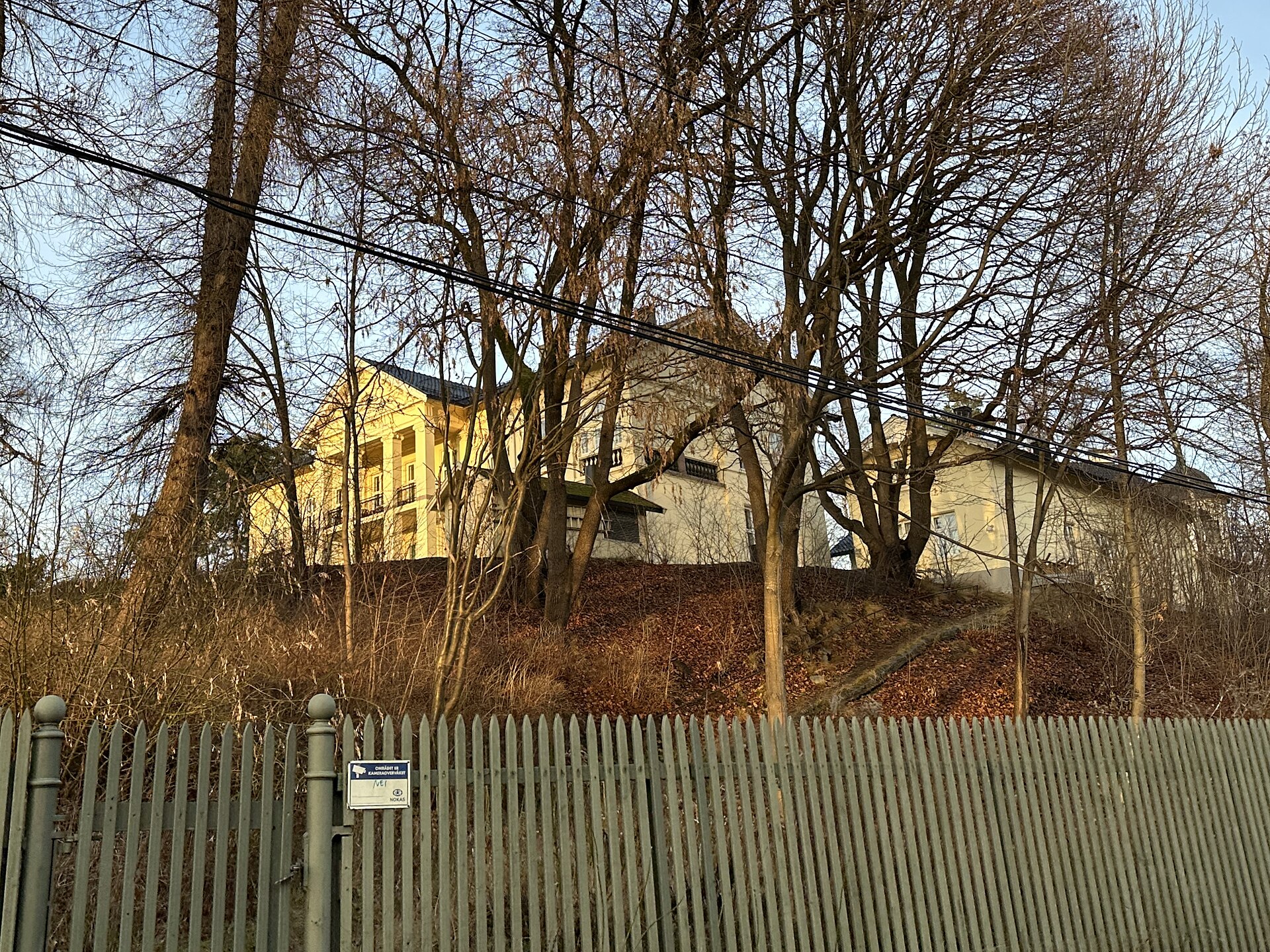
Madserud gård
- High
- Historic site
Nature site · Oslo
Middelalderparken (the Medieval Park) lies between Bjørvika and Gamlebyen in the Gamle Oslo district, in what was once the southern part of medieval Oslo. It opened in 2000 as a key part of the city's millennium site, the medieval town, and building is forbidden here because of the ruins and cultural layers above and below ground. The park covers 70 decares in all, and together with the neighbouring medieval areas it forms the largest continuous area of medieval ruins in the Nordic countries.
Checked 2026-11-05 · Source
In the park lie the ruins of St. Clement's Church and, further west, the ruins of St. Mary's Church and the old royal residence of Oslo. A large water mirror meets the land roughly where the fjord met Oslo in the High Middle Ages, around 1300. The River Alna once flowed out at the southern end of the park, and in connection with the Follo Line it was to be led back here from around 2021. Until 2013 the Oslo Medieval Festival and the Øya Festival were held in the park every year.
Checked 2026-11-05 · Source
In 2000, as part of Oslo's millennium site, the medieval town.
The ruins of St. Clement's Church, St. Mary's Church and the old royal residence of Oslo.
Loading the interactive map…
The interactive map could not be loaded.
Last updated:
Source: OpenStreetMap contributors, Wikidata ·