

.jpg)
.jpg)


9 min walk
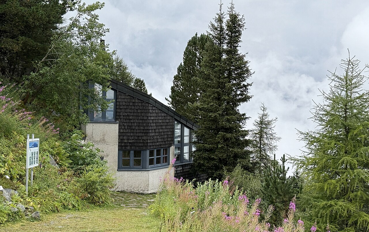
Albert-Steiner-Garten
- Notable
- Nature site
Language · 11 published
Viewpoint · Zurich
Reviewed by Elena Voss · Roavina Travel Editor
This place is a Peak.
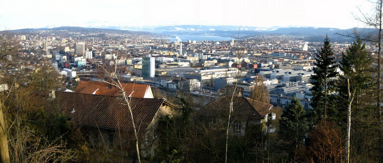
Käferberg is an elevated hill and surrounding area in northern Zurich. It brings together natural hillside terrain, mixed vegetation, wooded sections, open areas, and residential surroundings. The attraction is the landscape itself: a quieter, higher setting that contrasts with the flatter areas around central Zurich and Lake Zurich. It suits travelers who enjoy walking through the city’s urban-nature edge. Käferberg is a hill and elevated area in Zurich, Switzerland, forming part of the city's northern landscape. The name refers to both the geographical elevation and the surrounding residential zone. It sits within the broader Zurich metropolitan environment, offering elevated terrain distinct from the flatter areas near Lake Zurich. The area contributes to the city's varied topography, with the hill providing a natural vantage point over parts of the urban surroundings. Käferberg represents one of several elevated features that characterize Zurich's diverse geographical setting. No. Käferberg is primarily a geographical elevation and residential area, not a developed tourist destination. It lacks visitor facilities, signage, or programmed attractions.
Checked 2026-08-26 · Source
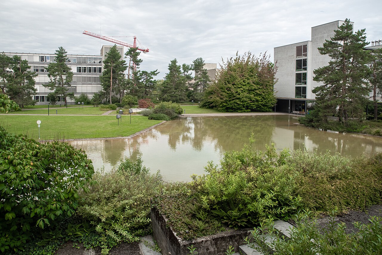
Käferberg’s main features are its hillside form, vegetation, forested portions, open terrain, and the residential streets around the elevation. It is not presented as a complex of staffed attractions or exhibition rooms. Travelers encounter a blend of natural ground and lived-in city surroundings, making the area valuable for a walk, a change of perspective, and observation of Zurich’s northern landscape rather than for a checklist of formal installations. The Käferberg area contains natural hillside terrain with mixed vegetation typical of the Swiss plateau region. Residential development occupies portions of the slopes and summit vicinity. The surrounding landscape includes forested sections and open areas consistent with Zurich's northern hills. No major commercial attractions or institutional buildings are documented within this specific zone. The character remains predominantly natural and residential, with the hill itself serving as the primary feature. Visitors encounter standard urban-nature interface elements rather than designated tourist facilities or marked attractions.
Checked 2026-08-26 · Source
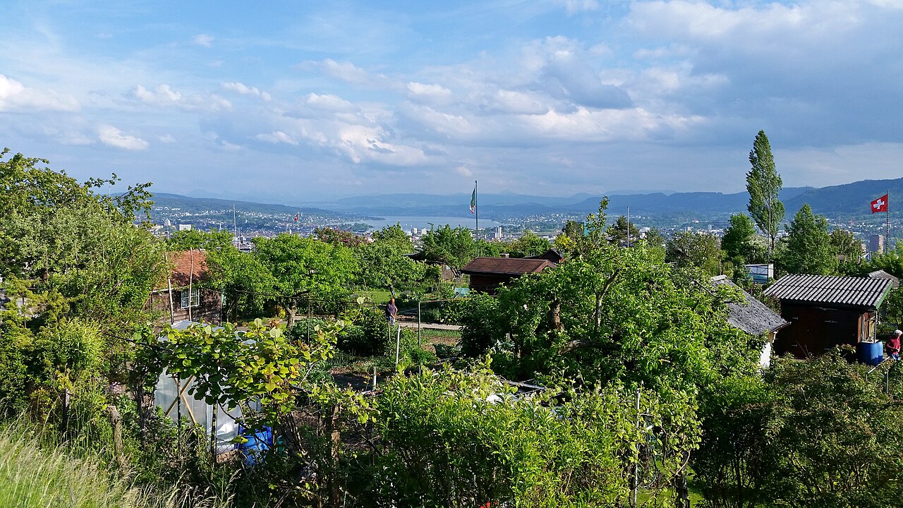
Allow one to two hours for walking across the hillside and residential approaches at a comfortable pace. A shorter stop works if you only want to experience the elevation or take a few photographs. Longer exploration becomes possible when you connect the hill with nearby paths and northern Zurich neighborhoods. Because the area is open terrain rather than a timed attraction, the right duration depends on how far you want to walk.
Checked 2026-08-26 · Source
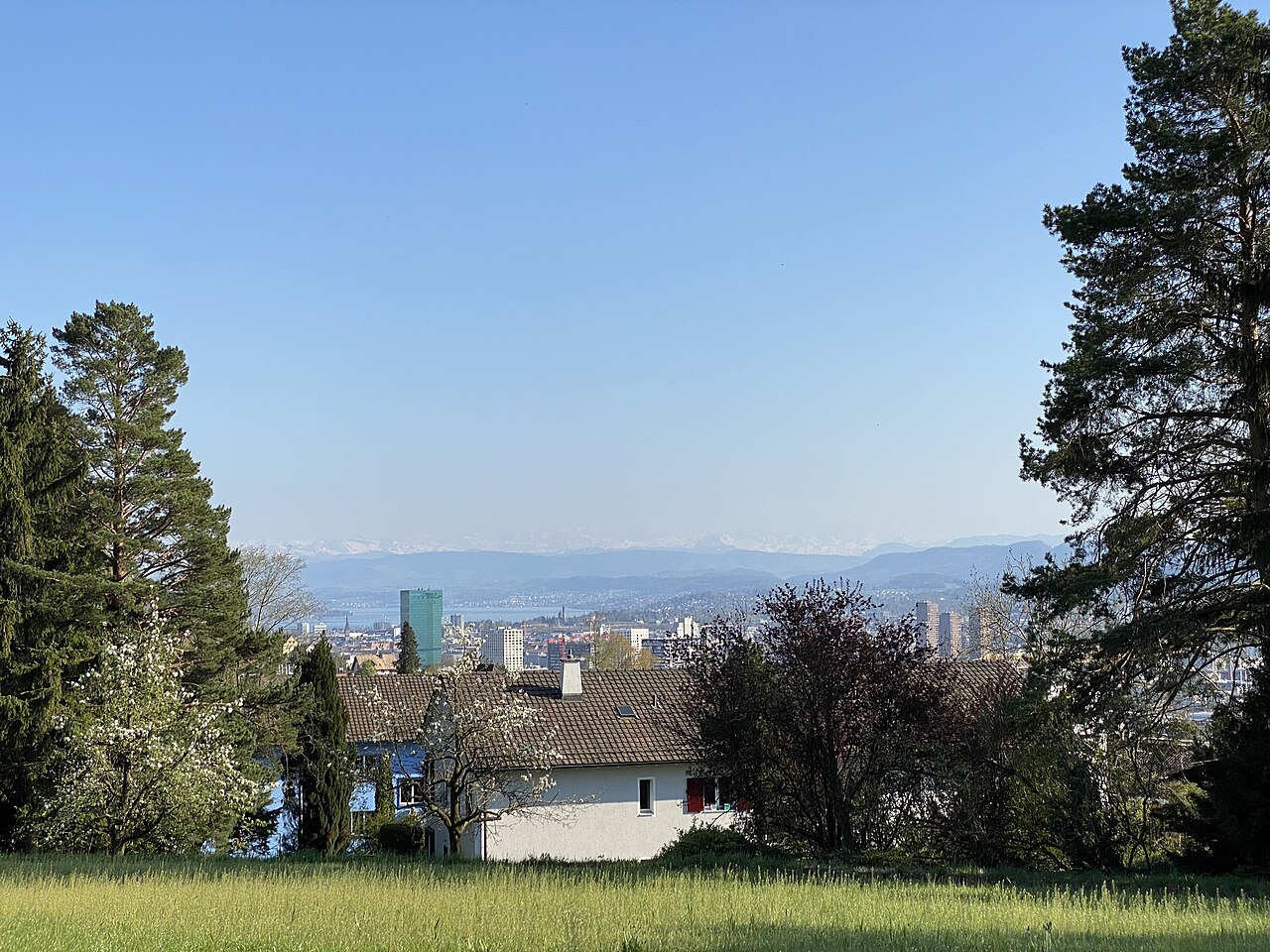
Käferberg works best in daylight, when you can read the terrain and move comfortably between wooded, open, and residential sections. Spring through autumn brings fuller vegetation and generally better conditions for outdoor walking. Winter can add snow, cold, or slippery ground. Clear mornings and evenings are especially rewarding for atmosphere and distant views, while fog can turn the hill into a more enclosed woodland experience.
Checked 2026-08-26 · Source
Käferberg is outdoor terrain and the basic experience is a walk through the hill and its surrounding public ways, rather than entry to a ticketed attraction. There is no visitor center or exhibition procedure described for the site. Travelers should consider ordinary Zurich transport costs separately. Nearby commercial places, if used during the wider outing, are independent from the hill and have their own prices.
Checked 2026-08-26 · Source
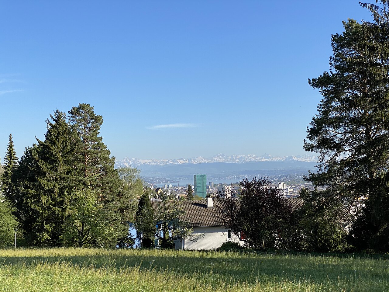
Reach Käferberg through Zurich’s northern streets, using the supplied OpenStreetMap location to guide the final approach. Public transport can bring you toward surrounding residential districts, followed by walking onto the elevated terrain. Cycling and walking from nearby neighborhoods are alternatives, although the hill requires attention to gradients. The place record does not name a particular stop or entrance, so plan a self-directed approach and allow time to orient yourself.
Checked 2026-08-26 · Source
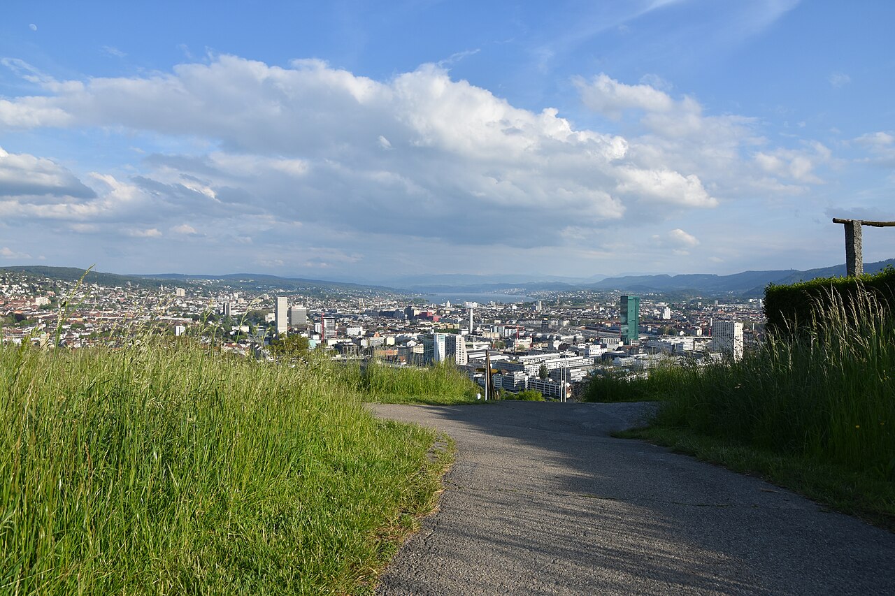
Käferberg combines natural hillside conditions with residential life. Wear footwear suited to changing surfaces and take care on steep, wet, snowy, or uneven sections. Paths may be less comfortable after dark, so daylight is the practical choice. Respect homes, gardens, quiet areas, and other walkers. The supplied record does not identify a specific hazard or accessibility arrangement, so choose your route according to your own mobility and confidence on slopes.
Checked 2026-08-26 · Source
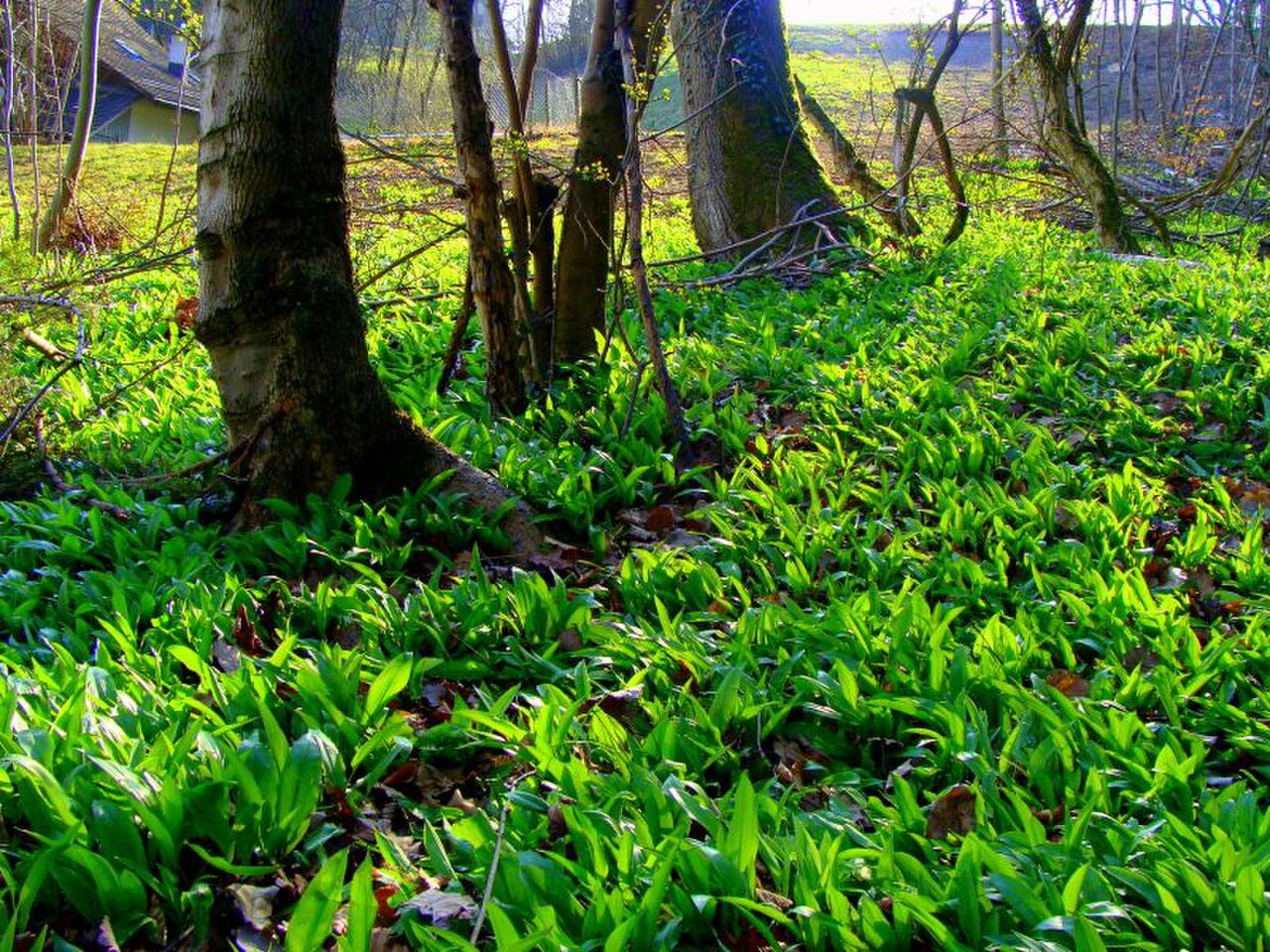
Käferberg is well suited to landscape photographs of Zurich’s northern urban fabric, wooded slopes, open terrain, and distant horizons on clear days. Morning and evening light can give the elevation more depth and atmosphere. Explore slowly rather than expecting one formal viewpoint. Keep residential privacy in mind, especially when framing streets or homes, and leave room for other people on narrow paths while composing images.
Checked 2026-08-26 · Source
Käferberg is an elevated hill and surrounding area in northern Zurich, combining wooded and open terrain with residential surroundings.
Allow one to two hours for a comfortable hillside walk, or less for a brief look and a few photographs.
The area includes natural hillside terrain, mixed vegetation, wooded sections, open spaces, residential surroundings, and elevated urban perspectives.
It can suit families comfortable with outdoor hillside conditions, provided everyone is prepared for slopes and changing path surfaces.
Yes. The elevation can provide views across Zurich’s northern urban landscape, especially in clear morning or evening light.
Wear comfortable footwear suited to outdoor slopes and bring clothing appropriate for changing weather and daylight conditions.
Loading the interactive map…
The interactive map could not be loaded.
Last updated:
Source: OpenStreetMap contributors, Wikidata ·