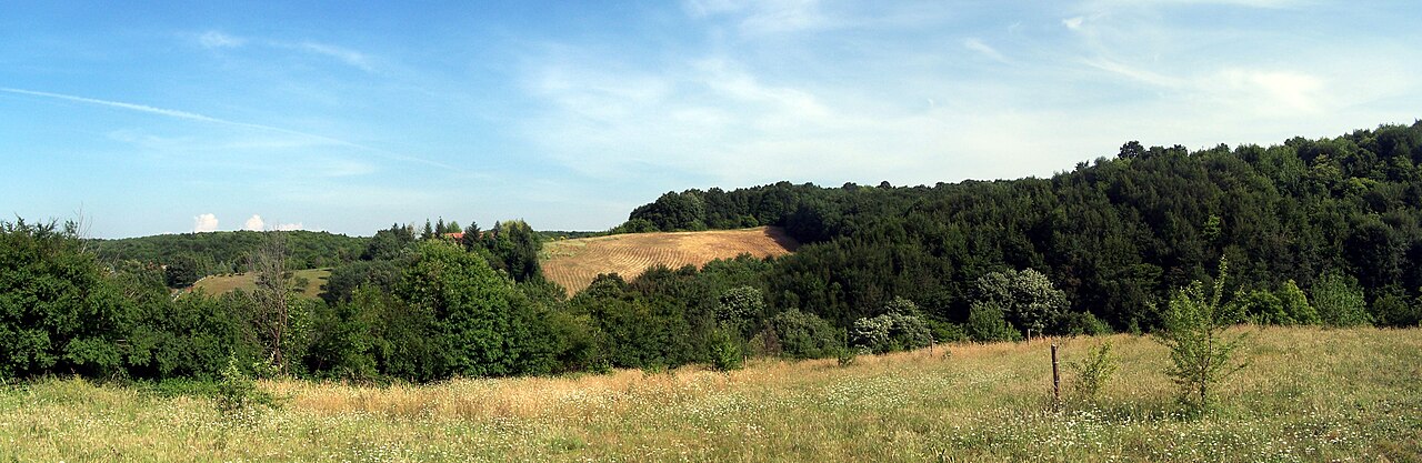
57 min walk · Beykoz
Polonezköy Nature Park
- Must see
- Nature site
Viewpoint · Çekmeköy, Istanbul
Alem Dağı
Alem Dağı is a named summit and natural viewpoint on Istanbul’s Asian side. The mapped peak stands at approximately 177 metres above sea level and is recorded at the supplied coordinates as OSM node 2622458156, with Wikidata identifier Q6035755. The summit lies within the forested uplands east of the Bosphorus and near the Çekmeköy–Alemdağ area. Historical Istanbul reference material describes Alem Dağı as a long-established recreation and picnic landscape, associated especially with Taşdelen’s spring water and woodland. The same source records Küplü Tepe, at 315 metres, as the highest point of the wider Alem Dağı area. A contemporary hiking-club route describes the surrounding forest as containing ponds, paths and forest roads, and lists Alemdağ as a destination for a day walk. This is an outdoor landscape rather than a staffed attraction, so no admission, operator, or regular opening-hours information is recorded here.
Checked 2026-09-02
Loading the interactive map…
The interactive map could not be loaded.
Last updated:
Source: OpenStreetMap contributors, Wikidata ·