Mount Sipylus
Spil Dağı
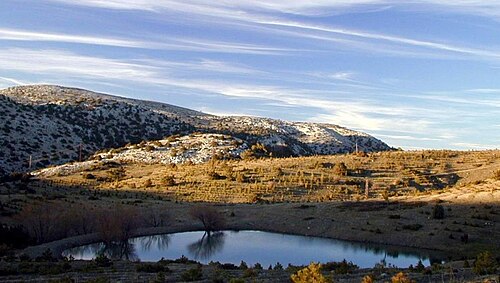
Mount Sipylus — Spil Dağı in Turkish — is the 1,513 m limestone massif standing immediately south of Manisa, the highest point on the city's skyline and the reason the city sits where it does.
- Must see
- Viewpoint
Region guide · Türkiye
553 places catalogued in Manisa Province so far.
Ranked by importance — sitelinks, pageviews and heritage status, not editor preference.
22 places match
Category
Typical visit duration
Spil Dağı
Mount Sipylus — Spil Dağı in Turkish — is the 1,513 m limestone massif standing immediately south of Manisa, the highest point on the city's skyline and the reason the city sits where it does.
Kula Volkanik Jeoparkı
Kula-Salihli UNESCO Global Geopark, signed locally as Kula Volkanik Jeoparkı, is a 2,320 square kilometre protected volcanic landscape spanning the Kula and Salihli districts of Manisa Province, roughly 100 km east of Manisa city.
Spil Dağı Millî Parkı
Spil Dağı Milli Parkı is the protected forest on the mountain behind Manisa, opened to the public on 22 April 1968.
Niobe Ağlayan Kaya
The Weeping Rock of Niobe — Ağlayan Kaya on the roadside marker — is a natural cliff formation on the northern flank of Mount Sipylus above Manisa, in Dere Mahallesi — formerly Karaköy — at Çaybaşı, along the stream of…
Kula Perbacaları seyir terası
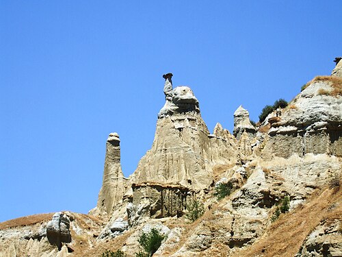
Kuladokya is a fairy-chimney viewing terrace and 1.2 kilometre walking trail inside the Kula-Salihli UNESCO Global Geopark, near Yurtbaşı village on the İzmir-Ankara highway, about 16 km from Kula town.
Kula
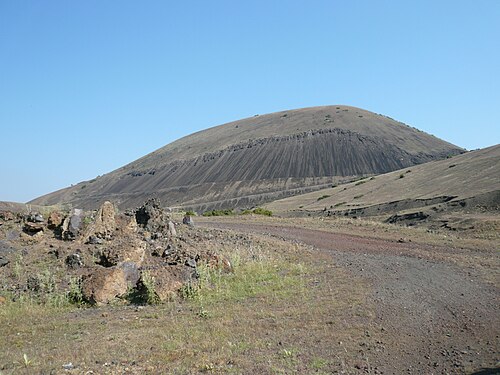
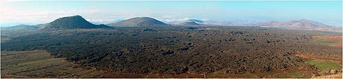
Kula Volcano is an extinct cinder cone in the Kula volcanic field, the feature that gives the field and the surrounding Kula-Salihli Geopark their name.
District boundaries come from OSM administrative relations, so a district page holds exactly the places inside it — plus, for the islands and the coast, the nearest district by proximity.