76 min walk · Selendi
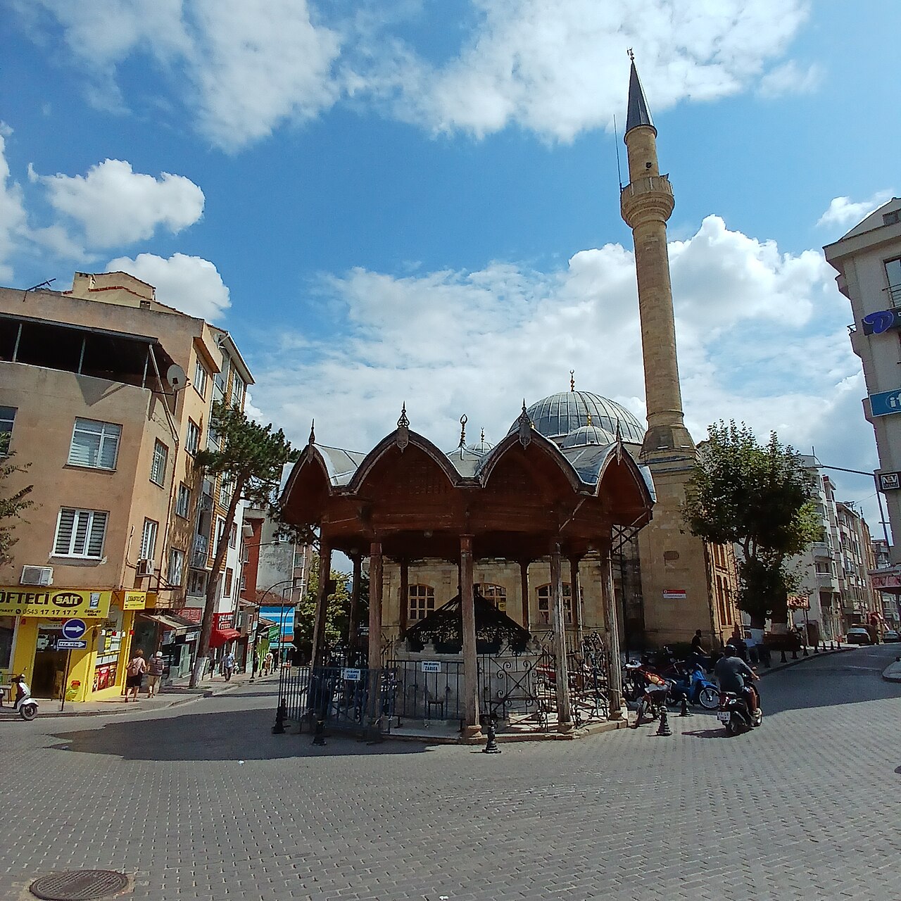
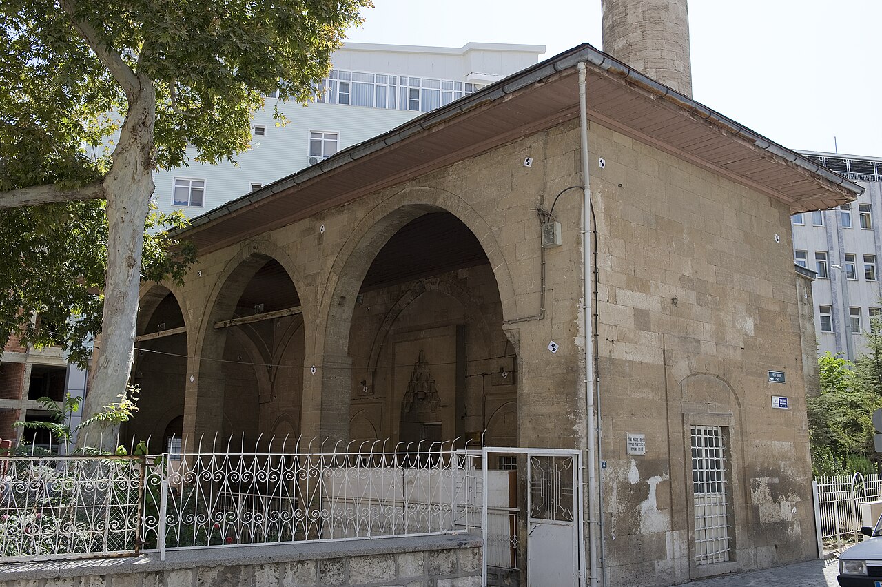
Çarşı Cami
- Notable
- Place of worship
Language · 11 published
Historic monument · Selendi, Manisa
Reviewed by Elena Voss · Roavina Travel Editor
This place is a Attraction.
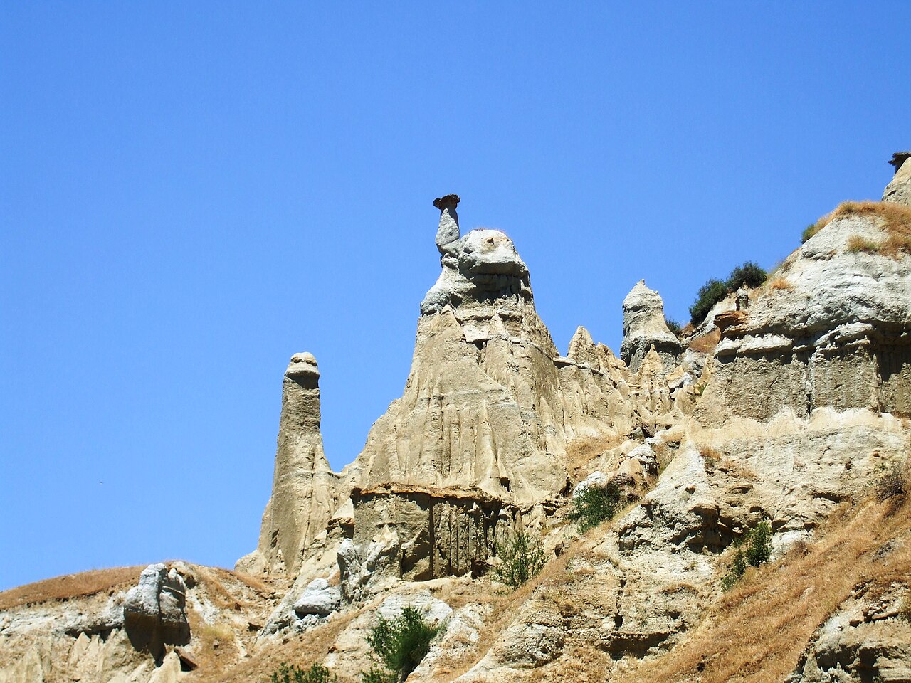
Hermesin Çizmesi, or Hermes’ Boot, is a natural rock formation near Kazıklı Mahallesi in Selendi district. It stands in the Selendi Çayı Canyon, where the rock’s outline is traditionally understood as Hermes’ right foot. The attraction combines a memorable silhouette, exposed canyon geology and a local story. Visit for the formation and the rural landscape around it. Hermesin Çizmesi is a distinctive natural rock formation associated with the Selendi Çayı Canyon near Kazıklı Mahallesi in Manisa’s Selendi district. Its outline is traditionally understood as Hermes’ right foot, giving the place its evocative name, “Hermes’ Boot.” The interest lies in the meeting of a sharply imagined silhouette, exposed canyon geology, and a local story that turns an otherwise rural rock into a memorable landmark. This is a landscape feature, not a museum, building, or indoor attraction. The formation belongs to the canyon setting north of the Selendi Çayı, where the stream corridor and surrounding countryside complete the experience.
Checked 2026-09-02 · Source
There is no interior collection to explore. The subject of the visit is the foot-like rock outline and its relationship with the Selendi Çayı Canyon, stream corridor and rural slopes. Compare the silhouette with the surrounding landscape from safe positions. The legend gives the formation cultural meaning, while changing light, distance and stone texture shape the natural experience. Hermesin Çizmesi has no documented interior to explore: the subject of the visit is the natural rock formation itself and the landscape around it. Look for the outline that local belief connects with Hermes’ right foot, then read it against the canyon’s exposed stone, stream channel, and rural slopes. The setting rewards observation more than a checklist of exhibits. Its character comes from seeing the feature in context, rather than isolating it as an object in a gallery. The legend adds a cultural layer, while the canyon remains a living natural environment whose surfaces, water, and changing light shape what you see.
Checked 2026-09-02 · Source
Set aside enough time to locate the silhouette, view it from safe positions and understand its canyon setting. Hermesin Çizmesi can be a brief pause during a wider Selendi countryside outing or a slower landscape visit. Add time for orientation and careful movement, particularly when the ground is wet or unfamiliar. Let daylight and terrain determine how long you remain. No official visit duration is recorded for Hermesin Çizmesi. Because the landmark is a natural formation in a rural canyon rather than a timed venue, the length of a stop depends on how long you need to locate the silhouette, view its surroundings, and make photographs.
Checked 2026-09-02 · Source
Plan the outing for daylight, when the rock outline and canyon surroundings are easier to recognise. Dry weather can make outdoor movement more comfortable, while rain may leave stone wet and change stream-side conditions. This rural landscape has no venue schedule to organise around. Choose a time that allows careful observation without rushing through unfamiliar ground, and keep the plan flexible if conditions become uncomfortable.
Checked 2026-09-02 · Source
Treat Hermesin Çizmesi as a self-directed landscape stop in the Selendi Çayı Canyon. The experience is the natural formation, its local story and the surrounding countryside, not a ticketed interior or timed visitor circuit. Organise the visit around the rural journey, safe viewing positions and the condition of the canyon. Keep the impact low and leave the landscape unchanged.
Checked 2026-09-02 · Source
From Selendi town centre, travel towards Selendi Intercity Bus Terminal and continue towards Kazıklı Mahallesi. The formation lies in the canyon section north of the Selendi Çayı, approximately 6 kilometres northeast of Selendi. Its mapped position is about 38.79041° north, 28.90616° east. Use the coordinates with the visible stream corridor and canyon landscape to orient yourself during the final rural approach.
Checked 2026-09-02 · Source
Natural canyon ground may be uneven, wet or difficult after rain. Keep children close, avoid unstable edges and do not choose a dangerous line for a better view. Wear outdoor footwear and turn back when movement no longer feels safe. Keep the stream corridor and rock undisturbed. The surrounding terrain can be more demanding than the short viewing pause itself.
Checked 2026-09-02 · Source
Photograph the formation with the Selendi Çayı Canyon, stream corridor and rural slopes in the frame. Because the story depends on recognising a foot-like shape, try several safe viewpoints and include a wider image for context. Daylight reveals the stone texture. Do not climb unstable rock or enter difficult water, and leave the formation and surrounding landscape untouched.
Checked 2026-09-02 · Source
It is a natural rock formation near Kazıklı Mahallesi in Selendi district, associated with the Selendi Çayı Canyon. Its outline is traditionally seen as Hermes’ right foot.
It is near Kazıklı Mahallesi, in the canyon section north of the Selendi Çayı, approximately 6 kilometres northeast of Selendi.
Hermesin Çizmesi is associated with the Selendi Çayı and its canyon landscape.
Local tradition connects the rock’s outline with Hermes’ right foot, giving the formation its name.
The approximate coordinates are 38.79041° north and 28.90616° east, marking the rural canyon area near the formation.
The formation is approximately 6 kilometres northeast of Selendi, near Kazıklı Mahallesi.
Loading the interactive map…
The interactive map could not be loaded.
Last updated:
Source: OpenStreetMap contributors ·