Roavina

District guide · Manisa

Kula

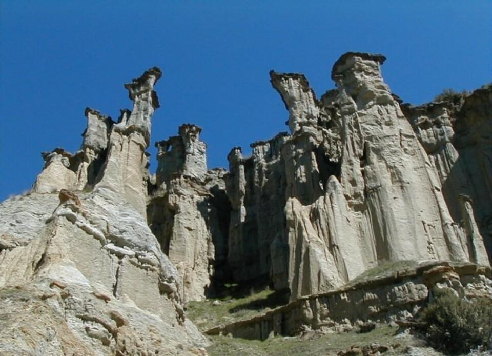
A photograph of Kula
Photograph · Mr. Vehbi Moğol · CC BY-SA 3.0

Kula is a municipality and district in Manisa Province, situated in western Turkey at an elevation of 635 metres. The Kula Volkanik Jeoparkı showcases the region's geological features, while Hoca Seyfettin Köprüsü and Meryem Ana Kilisesi represent its historical heritage. The district holds limited appeal for most travellers beyond its volcanic landscape.

Editorial responsibility: Elena Voss · Roavina Travel Editor

Practical information

Language spoken
Turkish
The official language of the Republic of Turkiye
Dialling code
+90 236
Manisa landlines; drop the leading 0 of 0236 when calling from abroad
Currency
Turkish lira (₺, TRY)
The official currency; one lira is divided into 100 kurus
Emergency number
112
One number for ambulance, fire and police
Plug type
European two-pin · 220 V
The national living guide records 220 V and European-style two-pin plugs
Tap water
Not recorded
No verified national source in the dataset

Turn this list into a plan

Set your days, your pace and the hours you actually want to be out. The planner works around closing days and travel time, and leaves room to eat.

Plan Kula

Planning a visit

  1. January: no seasonality data recorded
  2. February: no seasonality data recorded
  3. March: no seasonality data recorded
  4. April: no seasonality data recorded
  5. May: no seasonality data recorded
  6. June: no seasonality data recorded
  7. July: no seasonality data recorded
  8. August: no seasonality data recorded
  9. September: no seasonality data recorded — this month
  10. October: no seasonality data recorded
  11. November: no seasonality data recorded
  12. December: no seasonality data recorded

Top things to see

Ranked by importance — sitelinks, pageviews and heritage status, not editor preference.

  1. Divlit Volcano Divlit Volcano
    02 2 hr 30 min

    Divlit Volcano

    Divlit Yanardağı

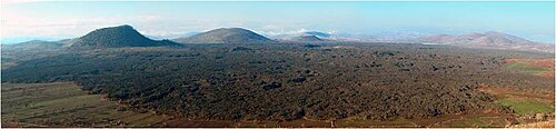
    Divlit Yanardağı, known locally as Çakallar Tepesi or Divlittepe, is a cinder cone on the shore of the Demirköprü Reservoir in Kula district, at roughly 750 m above sea level.

    • Must see
    • Viewpoint

Source: OpenStreetMap contributors, Wikidata ·