16 min walk · Şehzadeler
Mount Sipylus
- Must see
- Viewpoint
Viewpoint · Şehzadeler, Manisa
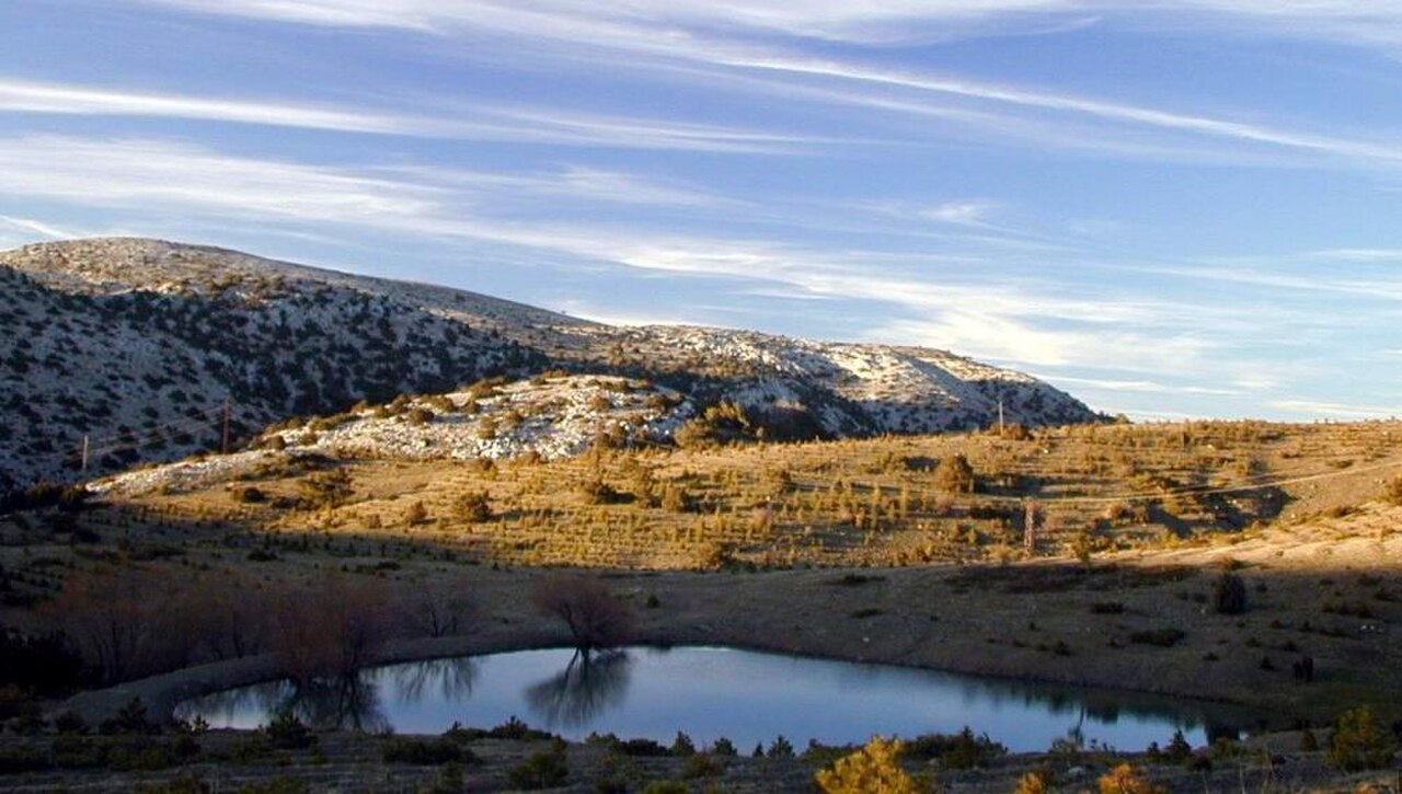
Turan Bayraktepe Seyir Terası is a mountain viewpoint in the summit area of Spil Dağı Milli Parkı above Manisa. Its character comes from the open mountain setting and the elevated outlook, rather than from an enclosed exhibition or built collection. The terrace is a scenic pause within a wider national-park visit, where the summit landscape connects the city below with the ranges and coastal horizons beyond. At roughly 1,517 metres, the viewpoint feels distinct from an urban lookout: height, distance, wind and changing visibility shape what visitors experience. It is best approached as one carefully chosen stop on a Spil Dağı outing, with the surrounding protected landscape forming much of the attraction.
Checked 2026-09-02 · Source
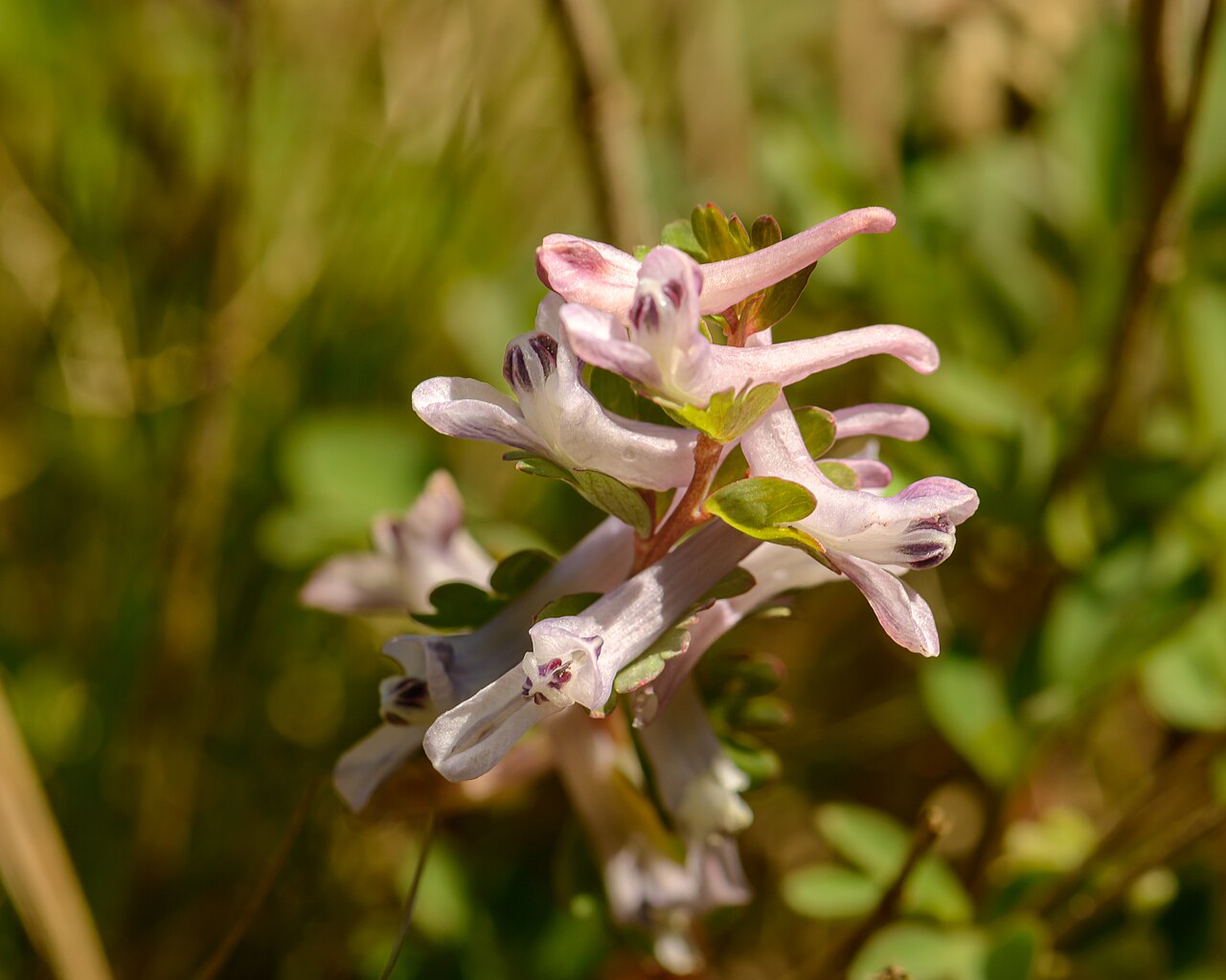
The defining feature is the broad summit outlook. From viewpoints on Spil Dağı, visitors may see the Manisa city panorama, Yunt Dağları, İzmir Körfezi and Aliağa Körfezi when atmospheric conditions allow. The setting also places the terrace within a mountain environment with considerable ecological variety. Spil Dağı Milli Parkı contains 593 plant species, including 78 endemic species, while its wildlife includes 1,000 or more yilkı horses. Those park-wide natural features explain why the viewpoint works as more than a quick photo stop: the visible landscape and the surrounding mountain ecology belong to the same visit. The immediate experience remains an open panorama, so distant details depend on clear air.
Checked 2026-09-02 · Source
Plan about 30 minutes for a focused stop at Turan Bayraktepe Seyir Terası. An hour gives photographers and landscape watchers more time to study the changing panorama, frame the city and mountain contours, and wait for distant features to emerge through shifting air. This estimate covers the viewpoint pause only, not the drive from Manisa or time spent exploring other parts of Spil Dağı Milli Parkı. Because the terrace sits in the summit area, a slower visit can be rewarding even when the first view is partially veiled. Build the viewpoint into a broader mountain day if you want to combine scenery, nature observation and the ascent.
Checked 2026-09-02 · Source
Visibility is the main consideration when choosing a time for Turan Bayraktepe Seyir Terası. Clear air gives the best chance of distinguishing Manisa, Yunt Dağları and the distant İzmir and Aliağa gulfs; haze, cloud or mountain weather can compress the view to a nearer landscape. Conditions at approximately 1,517 metres may also feel different from those in the city, particularly in wind and temperature. Treat the panorama as weather-dependent and give yourself flexibility within the wider Spil Dağı visit. A forecast that looks comfortable in Manisa may not describe the summit precisely, so bring an extra layer and expect the visual character to change.
Checked 2026-09-02 · Source
The terrace is described in the research as part of the wider Spil Dağı Milli Parkı setting, but a general park tariff cannot be promoted into this POI’s practical admission row without direct support for the viewpoint itself. Budgeting should therefore avoid treating an unverified park-wide figure as a confirmed terrace charge. This section records the evidence boundary clearly: the scenic value and location are supported, while a POI-specific fee is not.
Checked 2026-09-02 · Source
Reach Turan Bayraktepe Seyir Terası by private vehicle via the asphalt road to Spil Dağı Milli Parkı. The park is 24 kilometres from Manisa city centre, and the responsible planning document describes access to the planning area as private-vehicle-only. It also describes the approach road as asphalt and available in all four seasons. The responsible public body lists Spil Dağı Milli Park Müdürlüğü at Tevfikiye Mahallesi, 3808 Sokak No:2, Yunusemre, Manisa. Allow time for the mountain ascent, the summit pause and the return journey when planning the outing.
Checked 2026-09-02 · Source
The journey and the viewpoint should be planned around the evidence that is available. Access to the planning area is described as by private vehicle only, and the mountain road means this is not a central Manisa walking stop. At summit elevation, wind, cooler temperatures, haze and cloud can alter the experience quickly and reduce long-distance visibility. The terrace is therefore most dependable as a landscape stop reached with suitable clothing and realistic weather expectations.
Checked 2026-09-02 · Source
The terrace’s strongest photographic subject is the relationship between height, city and distant geography. At roughly 1,517 metres in Spil Dağı’s summit area, a wide frame can place Manisa below the mountain contours while clear conditions may reveal Yunt Dağları, İzmir Körfezi and Aliağa Körfezi farther out. Use the changing atmosphere as part of the scene: haze can soften the horizon, while breaks in cloud may isolate individual ridges or widen the view. Leave time to compare compositions rather than taking only one image at arrival. The research supplied for this guide records no separate photography restriction.
Checked 2026-09-02 · Source
It is in the 1,517-metre summit area of Spil Dağı.
Viewpoints on Spil Dağı can show the Manisa city panorama, İzmir Körfezi, Yunt Dağları and Aliağa Körfezi when the air is clear.
Spil Dağı Milli Parkı is 24 kilometres from Manisa city centre.
Yes. The responsible planning document describes access by an asphalt road available in all four seasons.
The supplied planning research describes access to the planning area as by private vehicle only; it does not verify public-transport access to this viewpoint.
The park has 593 plant species, including 78 endemic species, and wildlife includes 1,000 or more yilkı horses.
Loading the interactive map…
The interactive map could not be loaded.
Last updated:
Source: OpenStreetMap contributors ·