


32
1 hour
Abdi İpekçi Park
Abdi İpekçi Parkı
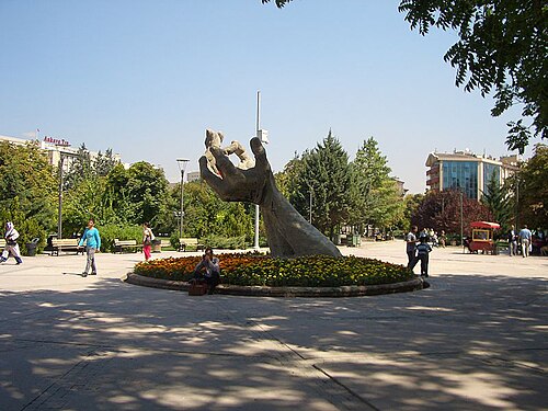
Abdi İpekçi Park is a 33,120-square-metre memorial and recreation space on Sıhhiye Square in central Ankara.
- High
- Nature site
- Ankara
Country guide
Türkiye is 783,562 km² across 81 provinces, most of it Anatolia in West Asia with East Thrace on the European side of the straits. It has three coasts to choose...
Photograph · Benh LIEU SONG · CC BY-SA 4.0
Reviewed by Elena Voss · Roavina Travel Editor
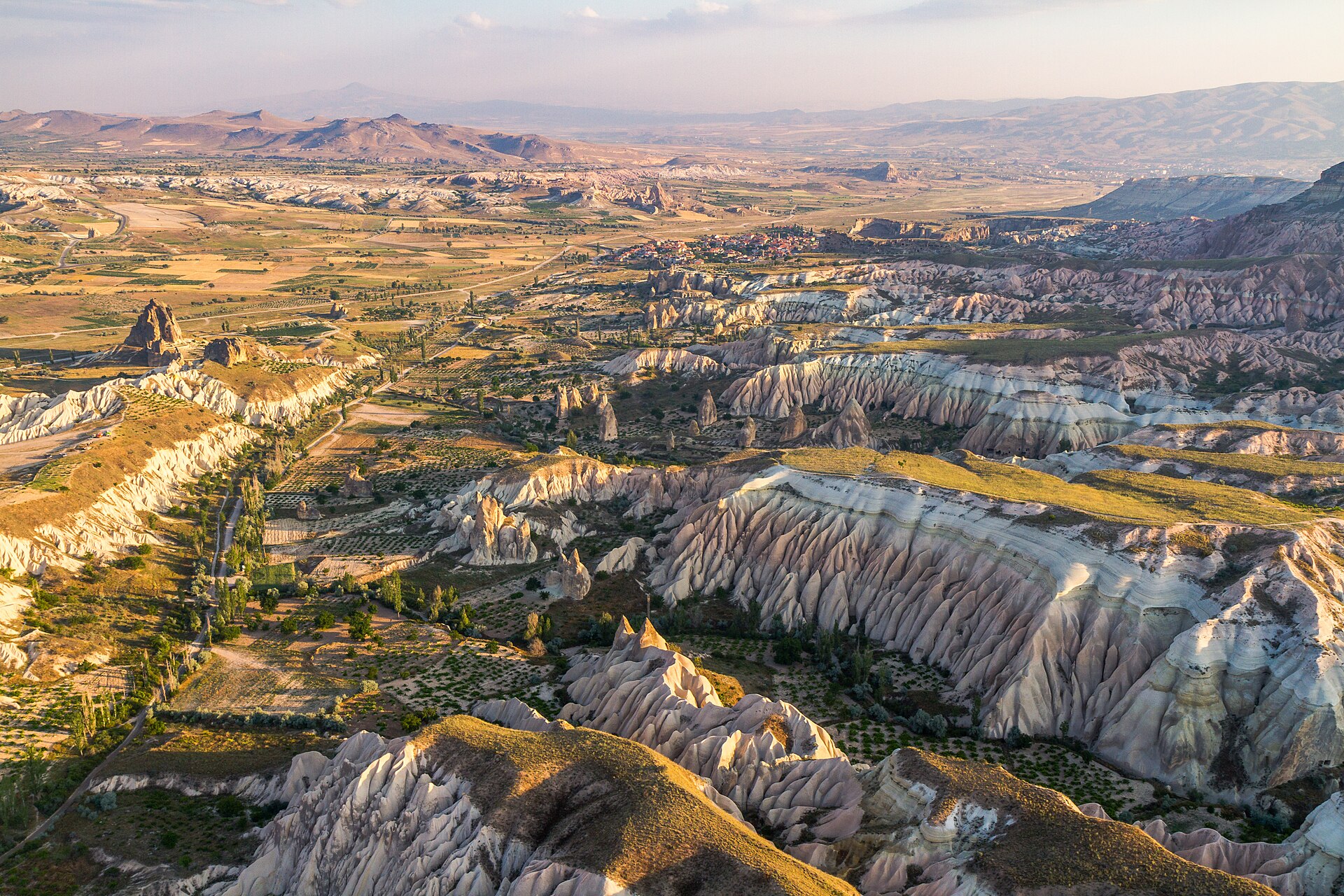
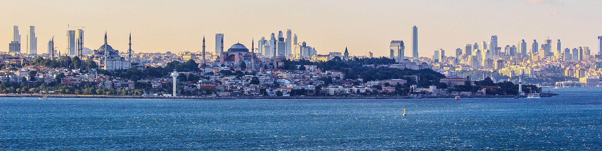
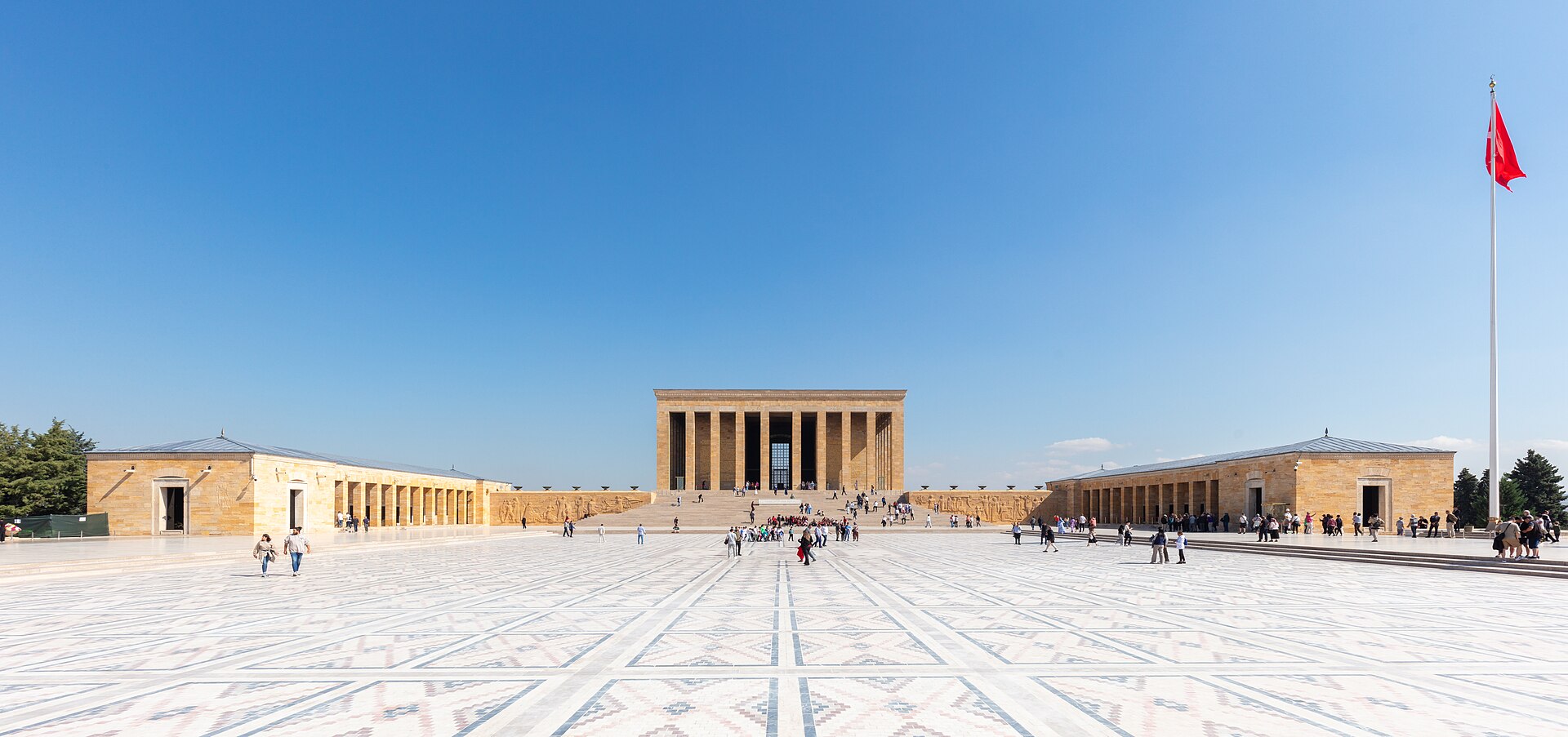
Türkiye is 783,562 km² across 81 provinces, most of it Anatolia in West Asia with East Thrace on the European side of the straits. It has three coasts to choose between — the Black Sea to the north, the Aegean to the west, the Mediterranean to the south — and an interior plateau that behaves like a different country in winter. Istanbul is the largest city and the economic centre, Ankara the capital and the second-largest, and the December 2025 population of 86,092,168 is weighted heavily to the west. A first trip is usually Istanbul and one coast; the plateau is the second trip.
Checked 2026-08-25
Every city catalogued in this country so far, ranked by how much there is to see.
Photograph · Ben Morlok · CC BY-SA 2.0
Photograph · Diego Delso · CC BY-SA 4.0
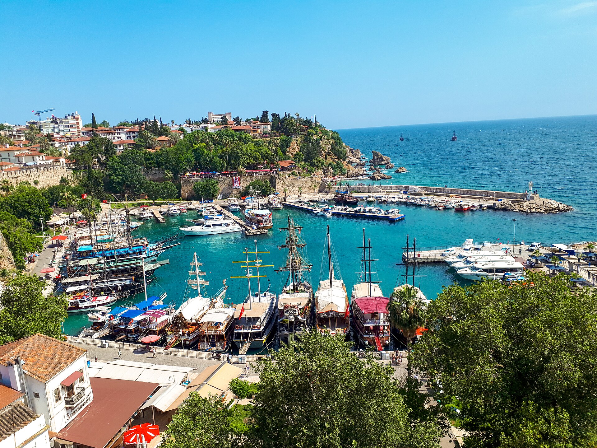
Photograph · REHBER0770 · CC BY-SA 4.0
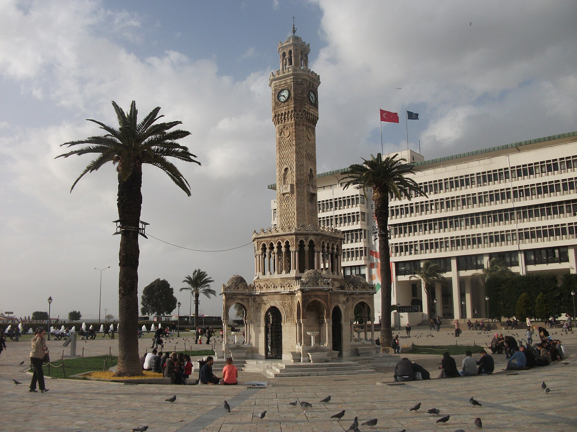
Photograph · Anonymous · CC0
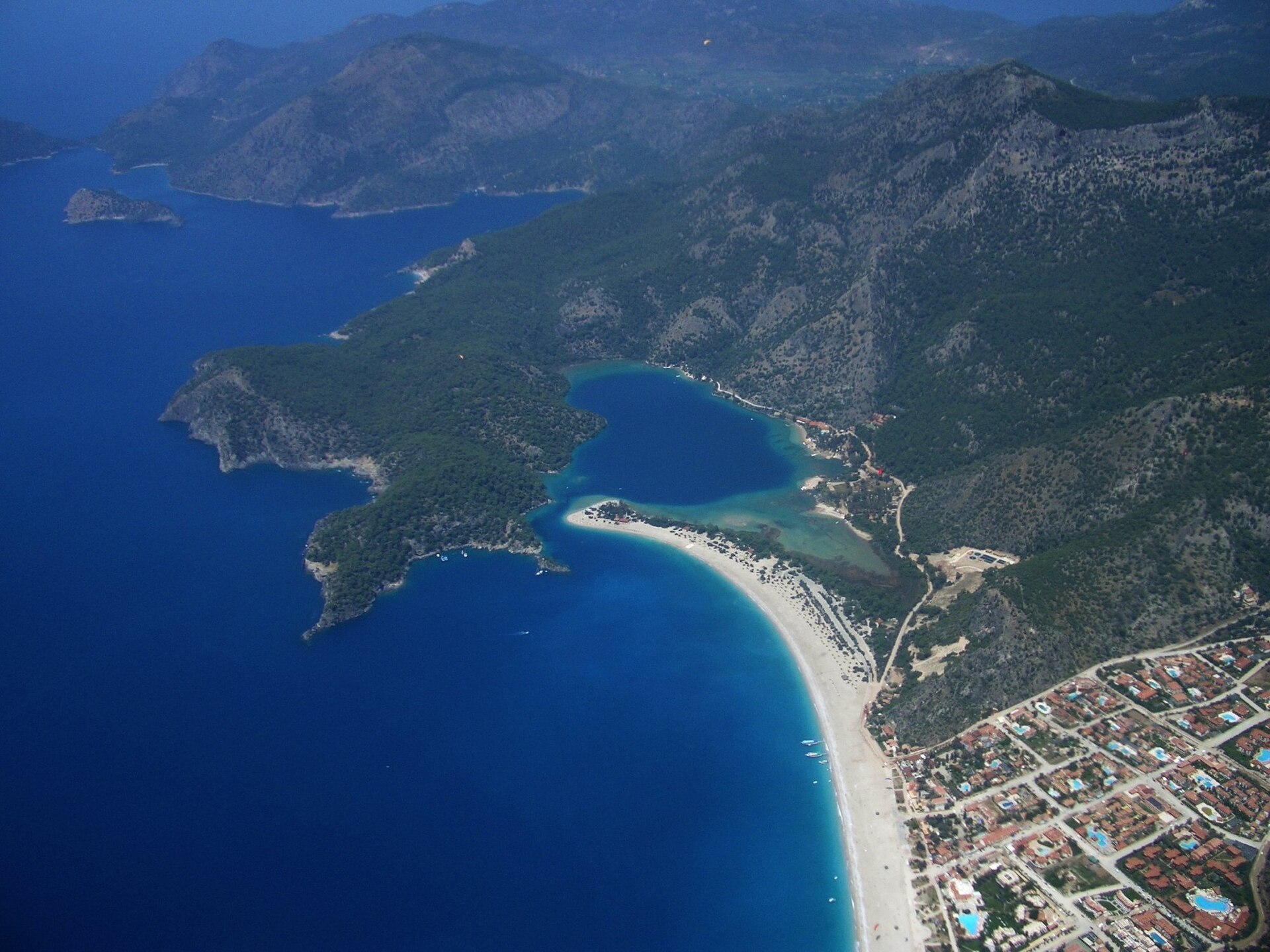
Photograph · Dan Taylor · CC BY 2.0
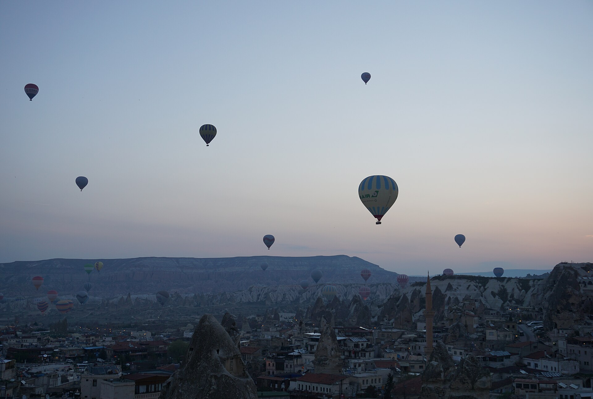
Photograph · Dogaaunlu · CC BY-SA 4.0
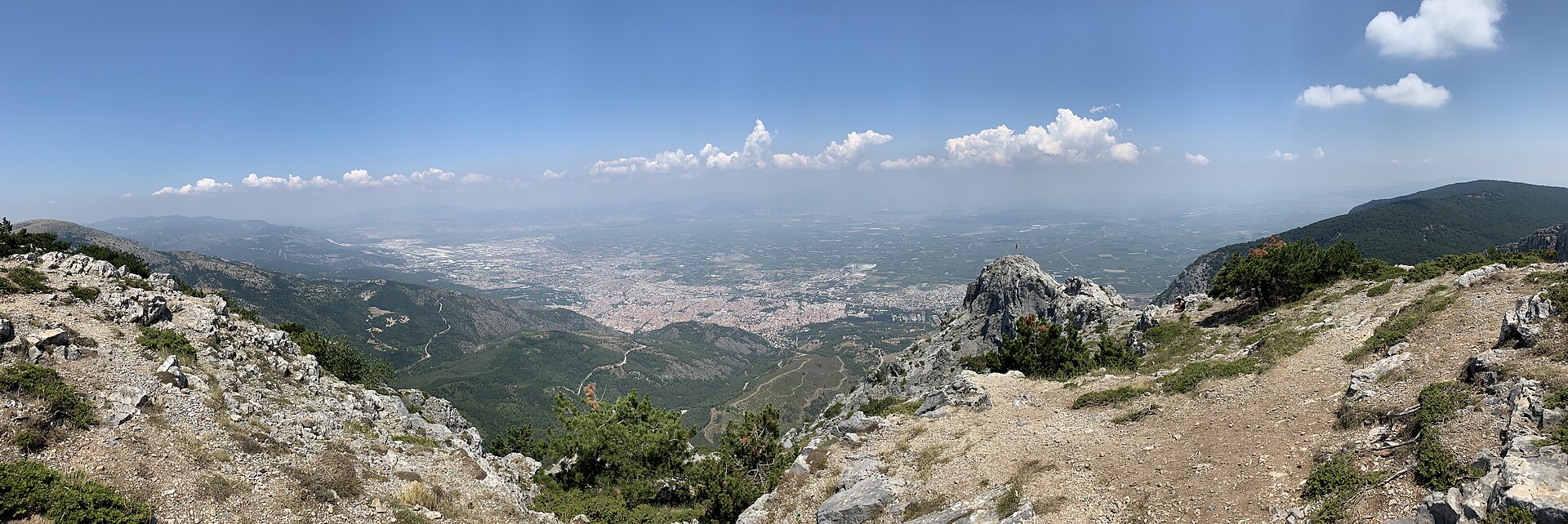
Photograph · Egemenakgul · CC BY-SA 4.0
Ranked by importance — sitelinks, pageviews and heritage status, not editor preference.
86 places match
Category
Typical visit duration
Abdi İpekçi Parkı
Abdi İpekçi Park is a 33,120-square-metre memorial and recreation space on Sıhhiye Square in central Ankara.
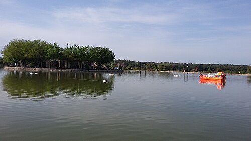
Buca Gölet is a public recreation facility in Belenbaşı Mevkii, near the Sebze Hali in Kaynaklar, within İzmir’s Buca district.
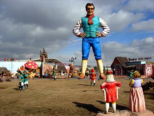
Harikalar Diyarı
Wonderland Ankara is a municipal urban park in Ankara’s Sincan district, around Fatih Mahallesi and Ayaş Yolu.
Panayırdağ
Panayır Mountain is a 121-metre natural summit in Selçuk, İzmir, within the landscape around ancient Ephesus. It is a landform rather than a museum, enclosed attraction or constructed mountain park.
30 Ağustos Zafer Parkı
30 Ağustos Zafer Park is a 166,000-square-metre municipal recreation area beside AŞTİ, Ankara’s intercity bus terminal.
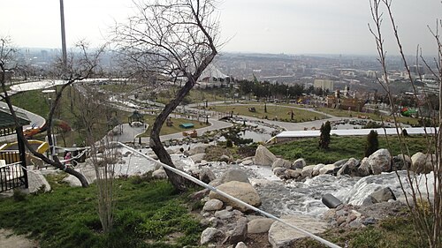
50. Yıl Parkı
50. Yıl Parkı is a hillside public recreation area in Ankara’s 50. Yıl Mahallesi, above Ankara University’s Cebeci Campus in Çankaya. Its character comes from combining open-air recreation with a broad bird’s-eye view across Ankara.
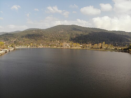
Gölcük
Lake Gölcük is an alluvial-dammed lake in a tectonically defined depression at Gölcük Mahallesi, Ödemiş, İzmir. It sits on the Bozdağlar Plateau at approximately 1,050 metres above sea level, while the surrounding plateau averages about 1,100 metres.
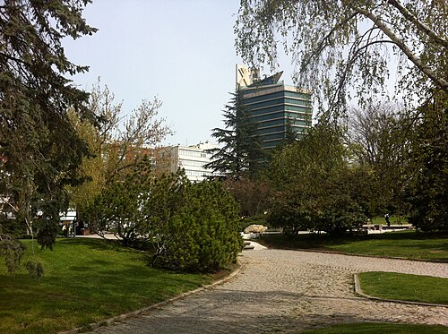
Meclis Parkı
Meclis Park is a green area within the Türkiye Büyük Millet Meclisi (TBMM) campus in Ankara’s Bakanlıklar district, beside Atatürk Bulvarı.
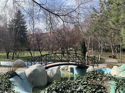
Portakal Çiçeği Vadisi
Orange Blossom Park is a neighbourhood recreation space in Aziziye, within Ankara’s Çankaya district, on Portakal Çiçeği Park İçi Yolu.
Akyarlar Yanardağı
Akyarlar is a seaside settlement at the southern end of the Bodrum Peninsula, in Muğla’s Bodrum district, where a mapped coastal place becomes the setting for an open-air beach visit.
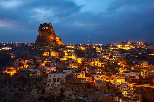
Ortahisar Kalesi
Castle of Ortahisar is the landmark rock citadel at the centre of Ortahisar in Ürgüp district, Nevşehir Province.
Dua Tepe
Duatepe Hill is an outdoor memorial in Polatlı, west of Ankara, marking a decisive position in the Battle of Sakarya.
Hüseyingazi Zirvesi
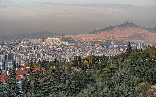
Hüseyin Gazi Mountain rises to 1,236 metres in Ankara’s Mamak district, with a summit settlement that combines a historic tomb and living communal spaces.
Keltepe is a 1,704-metre natural peak in Ankara Province’s Beypazarı district, near Hamzalar and Doğanyurt. OpenStreetMap identifies it as a natural peak, so the destination is the mountain landform itself rather than a staffed attraction, museum, park or commercial viewpoint.
Paşa Dağı is a natural summit in Ankara Province, in the Şereflikoçhisar area near Aksoylar and Odunboğazı. Ankara Governor’s Office lists Paşa Dağı among the province’s volcanic mountains, giving this quiet rural high point a distinctive geographical identity.
Yedigöller
Buca Yedigöller is a neighbourhood recreation area in İzmir, set among the Çağdaş, İzkent, Karanfil, Gaziler and Murathan neighbourhoods.
Çamaltı Tuzlası
Çamaltı Salt Pan is a working coastal salt-production landscape inside İzmir’s Gediz Delta, where shallow evaporation ponds, embankments and wetland habitats meet.

Kordonboyu
Kordon is İzmir’s bayfront promenade, stretching between Konak and Alsancak Port along the central shore of İzmir Bay. Its defining experience is movement beside open water: a continuous urban route where the bay, city frontage and everyday public life meet.
Tulumtaş Mağarası
Tulumtaş Cave is a fossil cave in Tulumtaş Mahallesi, within Ankara’s Gölbaşı district, in the Karayatak area beside the Ankara Ring Road.
100. Yıl Cumhuriyet Millet Bahçesi is a municipal public recreation area in Ege Mahallesi, on Natoyolu Caddesi in Mamak, Ankara.
1550. Cadde Yürüyüş Parkı is a completed municipal neighbourhood park on 1550. Cadde in Çiğdem Mahallesi, within Ankara’s Çankaya district. Its identity is practical and local: a 12,451-square-metre outdoor space designed around walking, running, exercise and pauses between everyday journeys.
1554. Cadde Yeşil Alan is a mapped pocket of greenery beside 1554. Cadde in Çiğdem Mahallesi, within Ankara’s Çankaya district.
66 Evler Parkı is a neighbourhood green space in Yenikent Mahallesi, Urla, within İzmir Province.
Buğday Tepe is a 1,308-metre natural summit in the mountainous surroundings of Buldan district in Denizli Province, close to the Manisa provincial border. Its appeal is the open mountain landscape rather than a building, collection or staffed attraction.
Çetinkaya Park is a neighbourhood outdoor park on Bahtiyar Tosunbaş Caddesi in Hafsa Sultan, Yunusemre, Manisa. Its defining documented feature is a network of running paths renewed with an acrylic surface by Yunusemre Municipality’s Park and Gardens Directorate.
Ten to fourteen days allows about four days in İstanbul and at least three around Antalya when coastal archaeology is included. Cappadocia needs its own regional stay, and a one-way coastal route is more workable than returning to the same city each night.
Türkiye's visa position varies by passport and purpose. Verify the rule through the Ministry of Foreign Affairs and, when eligible, use only the official e-Visa service rather than an intermediary.
İstanbul's two airports and Antalya are the principal gateways for this itinerary. Domestic flights cover long cross-country legs, coaches serve many city pairs, and high-speed rail is most useful on the İstanbul-Ankara axis rather than as a universal substitute.
April to May and September to October are broad choices for combining İstanbul with the Mediterranean coast. Cappadocia nights, inland heat, and Antalya's coastal conditions differ, so confirm weather for each overnight base.
Türkiye uses the Turkish lira (TRY). Keep lira available for smaller transport and market transactions even when cards are accepted, and review the displayed amount in TRY before agreeing to any card conversion.
Dial 112 for emergencies in Türkiye. Electricity is 230 V through Type C and F sockets; tap-water safety is not recorded here, so obtain current local advice at each stop.