


01
2 hours
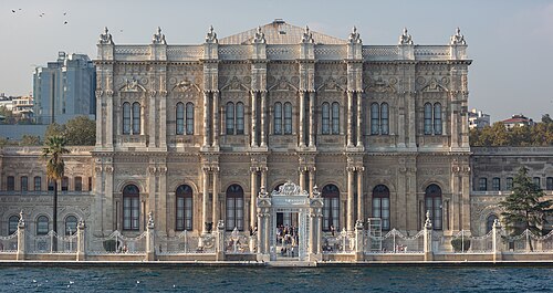
Dolmabahçe Palace
Dolmabahçe Sarayı
Dolmabahçe is what the Ottoman empire built when it decided to look European, and what that decision cost.
- Must see
- Nature site
- Istanbul
Language · 11 published
Country guide
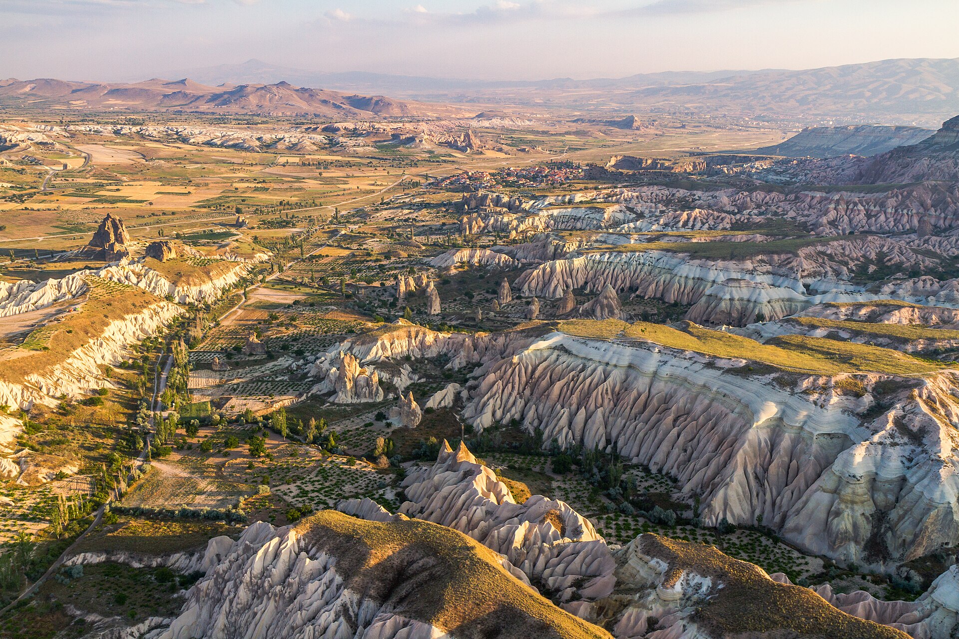
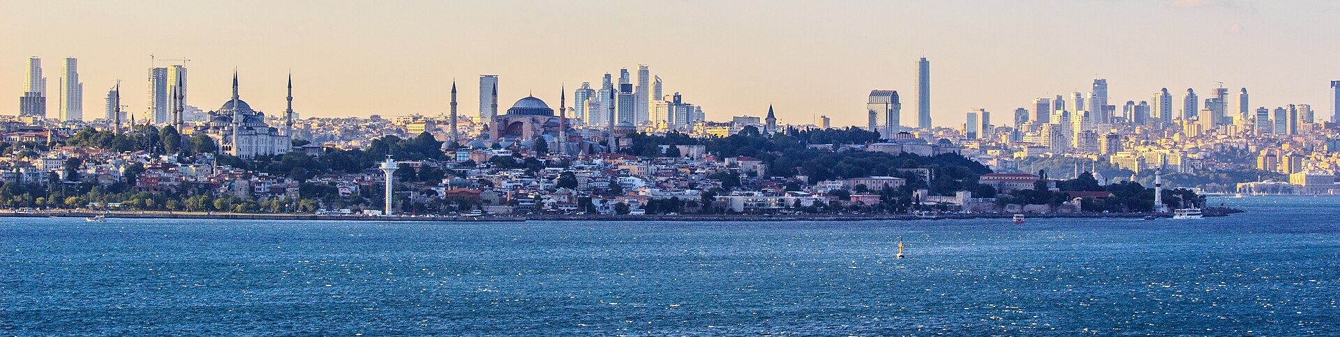
Türkiye is 783,562 km² across 81 provinces, most of it Anatolia in West Asia with East Thrace on the European side of the straits. It has three coasts to choose between — the Black Sea to the north, the Aegean to the west, the Mediterranean to the south — and an interior plateau that behaves like a different country in winter. Istanbul is the largest city and the economic centre, Ankara the capital and the second-largest, and the December 2025 population of 86,092,168 is weighted heavily to the west. A first trip is usually Istanbul and one coast; the plateau is the second trip.
Reviewed by Elena Voss · Roavina Travel Editor
Every city catalogued in this country so far, ranked by how much there is to see.
Photograph · Ben Morlok · CC BY-SA 2.0
Photograph · Diego Delso · CC BY-SA 4.0
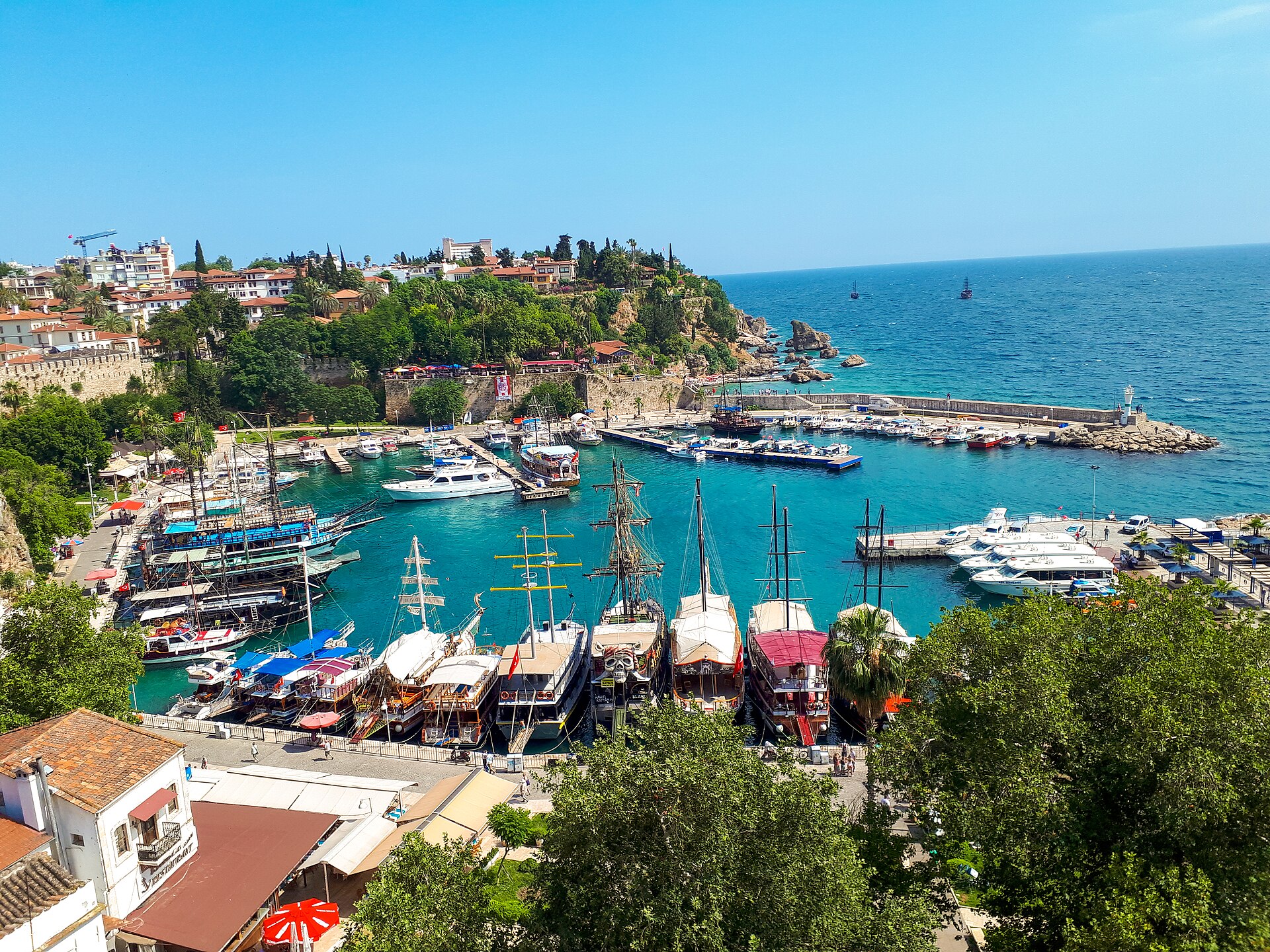
Photograph · REHBER0770 · CC BY-SA 4.0
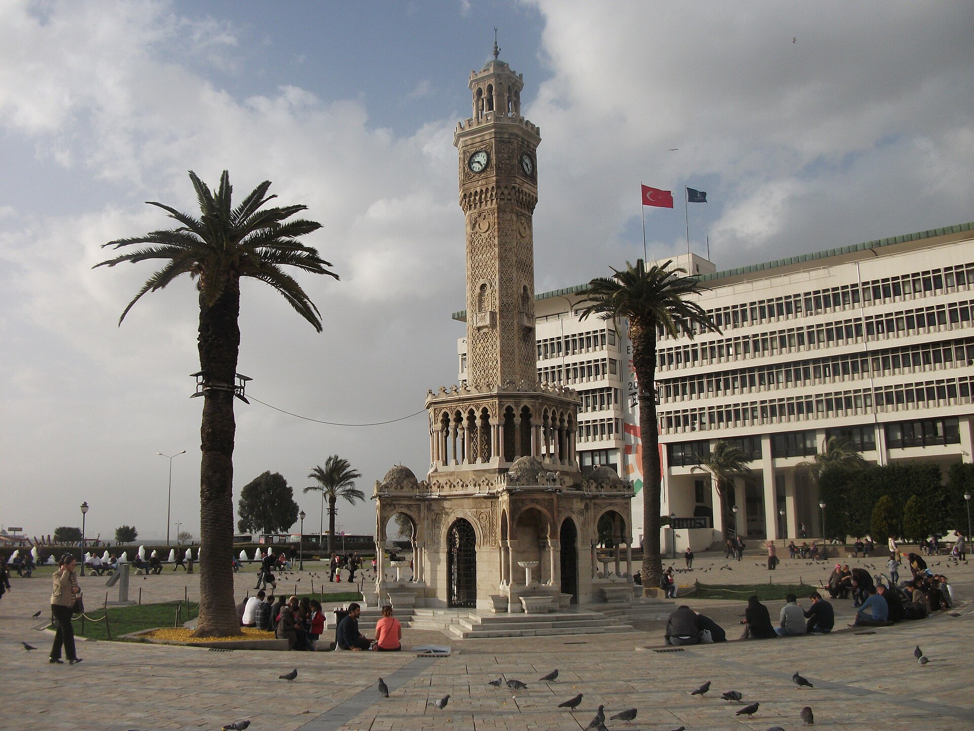
Photograph · Anonymous · CC0
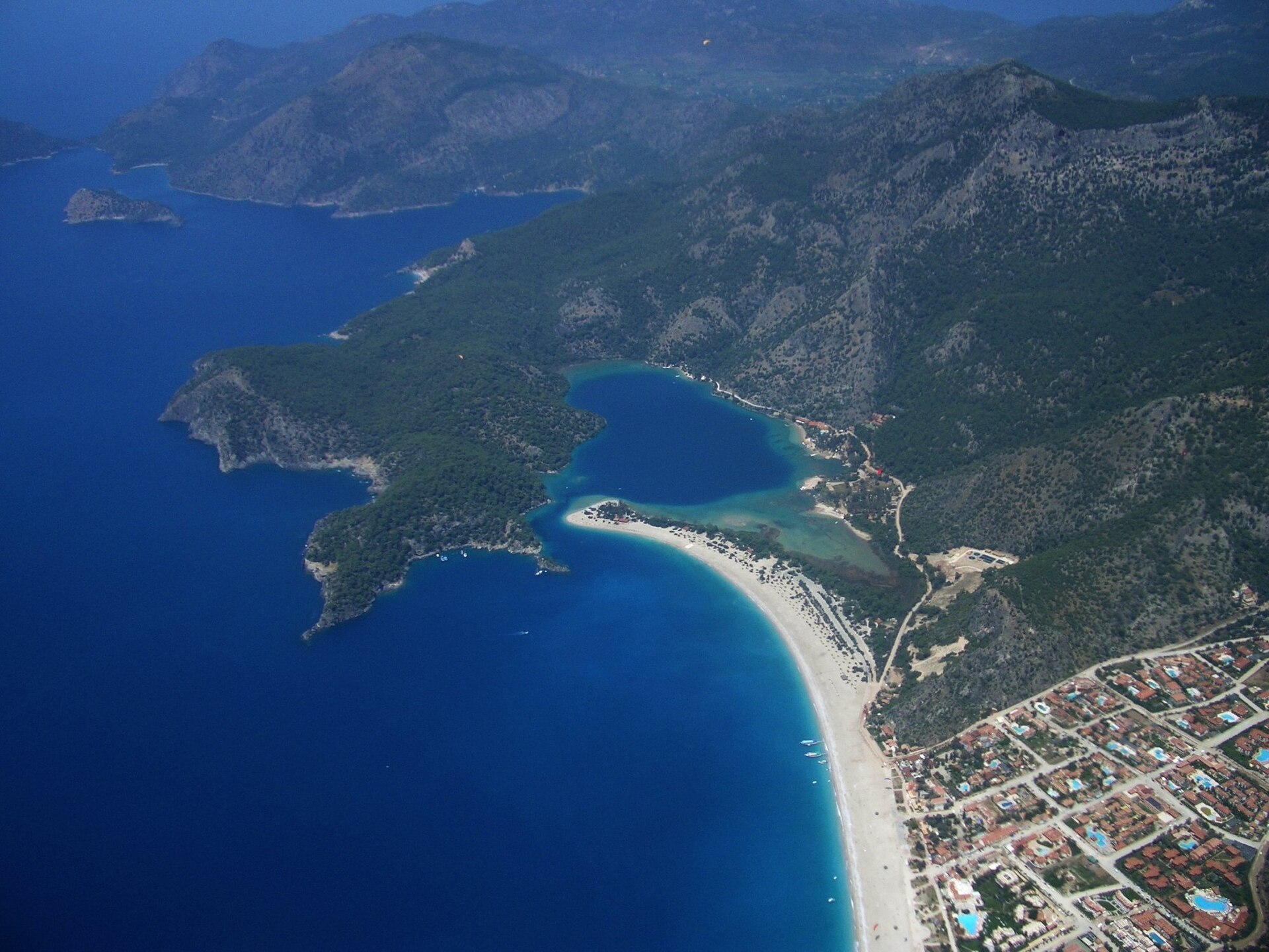
Photograph · Dan Taylor · CC BY 2.0
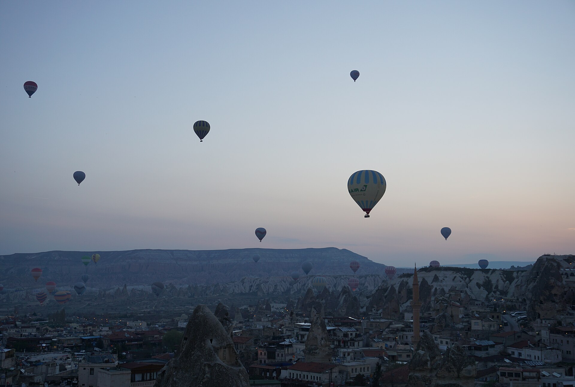
Photograph · Dogaaunlu · CC BY-SA 4.0
Photograph · Egemenakgul · CC BY-SA 4.0
Ranked by importance — sitelinks, pageviews and heritage status, not editor preference.
93 places match
Category
Typical visit duration
Dolmabahçe Sarayı
Dolmabahçe is what the Ottoman empire built when it decided to look European, and what that decision cost.
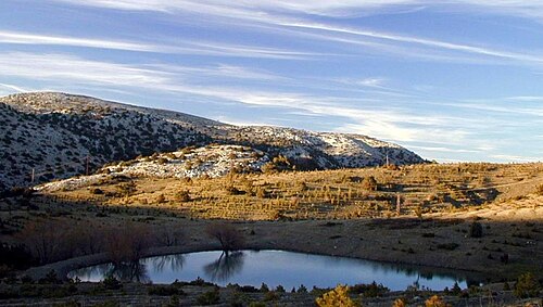
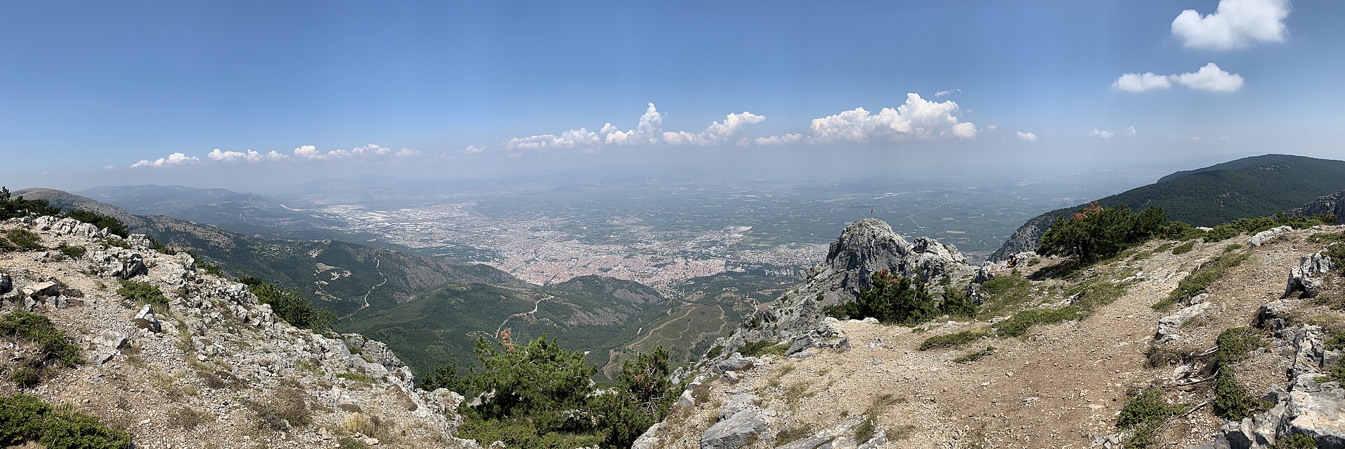
Spil Dağı
Mount Sipylus — Spil Dağı in Turkish — is the 1,513 m limestone massif standing immediately south of Manisa, the highest point on the city's skyline and the reason the city sits where it does.
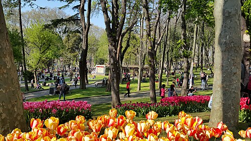
Gülhane Parkı
Gülhane Park is 9.7 hectares of shaded slope below Topkapı Palace, and for most of its life it was not a park at all but the palace's outer garden — ground the public did not enter.
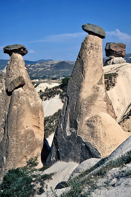
Göreme Millî Parkı
Göreme National Park is the wider landscape around Göreme village, while the principal visitor attraction in this listing is the Göreme Örenyeri, or Göreme Open-Air Museum.
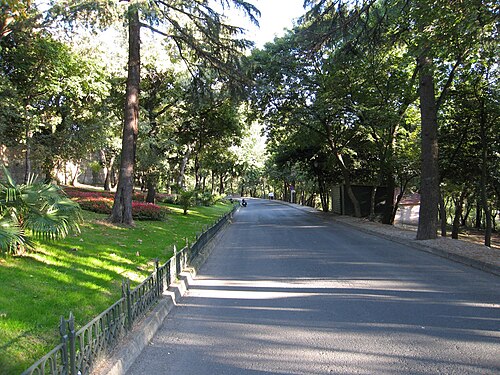
Yıldız Parkı
Yıldız Park is a wooded hillside of 368,751 square metres — roughly thirty-seven hectares — climbing from the Beşiktaş shoreline to the ridge behind it.
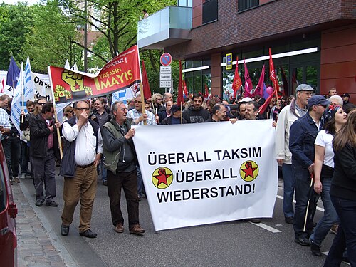
Taksim Gezi Parkı
Gezi Park is a terraced park of four hectares — 9.88 acres — occupying the ground immediately north of Taksim Square in Beyoğlu.
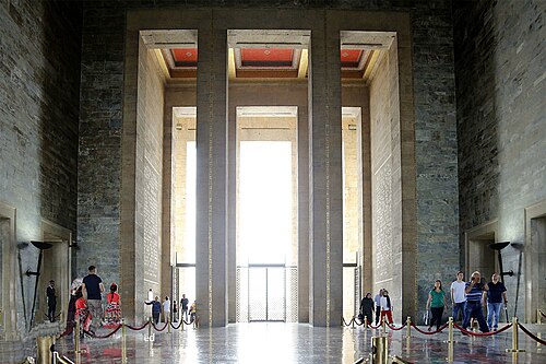
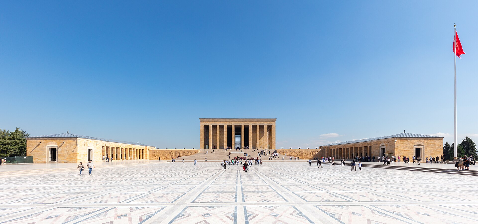
Anıtkabir is the mausoleum complex of Mustafa Kemal Atatürk on Ankara’s Anıttepe hill. It is a national memorial and museum, with monumental architecture, landscaped grounds and galleries about the Turkish War of Independence and the founding period of the Republic.

Bafa Gölü
Lake Bafa is a protected lake landscape where Muğla’s eastern shore meets the wider setting of Aydın’s Söke district. The Kapıkırı side is the practical base for exploring the water, rocky shore and Beşparmak Mountains.
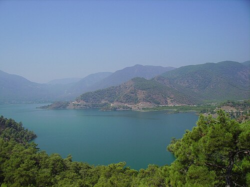
Köyceğiz Gölü
Lake Köyceğiz is a large natural lake beside Köyceğiz town in Muğla Province. Muğla Governorate gives its area as about 54 square kilometres, while the municipality describes the lake area as 6,300 hectares.
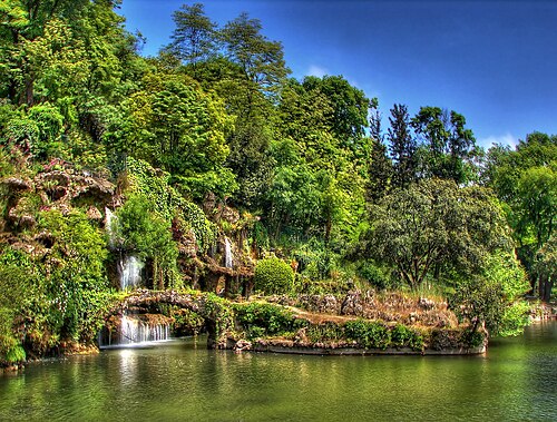
Emirgan Korusu
Emirgan Park is 470,000 square metres of wooded hillside above the European shore of the Bosphorus in Sarıyer, and it has been changing hands for as long as anyone has been writing things down.
Polatlı is a municipal park in the centre of Polatlı, Ankara province, mapped as a leisure=park site.
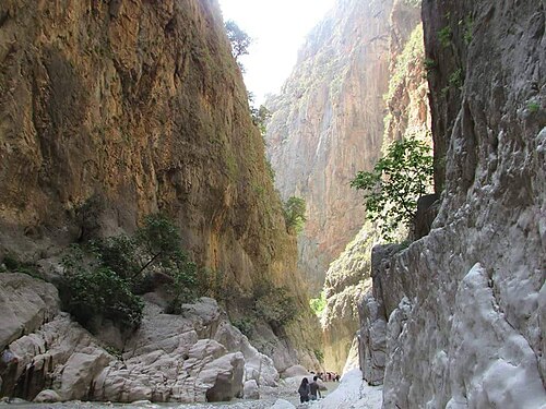
Saklıkent Millî Parkı
Saklıkent Canyon is a natural gorge in Seydikemer district of Muğla, close to the Antalya provincial border. It is approximately 18 kilometres long, and Karaçay, a branch of the Eşen River, flows through it.
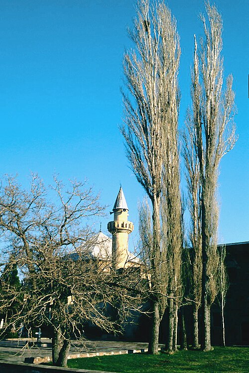
Hacı Bektaş-ı Veli Türbesi
The Haji Bektash Veli complex is a historic Bektashi lodge and museum in Hacıbektaş, Nevşehir Province.

Mogan Gölü
Lake Mogan is a shallow natural lake and recreation destination in Gölbaşı district, about 25 kilometres south of Ankara. The lake covers approximately 5 square kilometres, and the surrounding Mogan Recreation Area provides a broad public park beside the water.
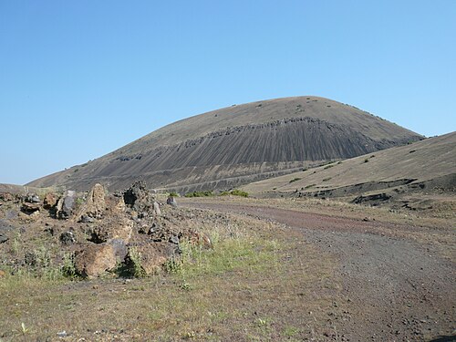
Kula
Kula Volcano is an extinct cinder cone in the Kula volcanic field, the feature that gives the field and the surrounding Kula-Salihli Geopark their name.
Çankaya Köşkü
Çankaya Mansion is a working state residence and workplace on Ankara’s Çankaya presidential campus, with a role that combines republican history and present-day government.
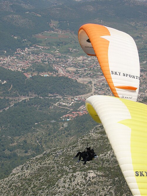
Babadağ is a mountain attraction above Ölüdeniz reached by cable car and chairlift. The visit begins at the operator’s main station on Ölüdeniz’s main road, at 226 metres, then rises towards stations at 1200, 1700, 1800 and 1900 metres.

Ayasluğ
Ayasuluk Hill is the historic high ground above Selçuk, where several of the town’s most important monuments occupy one archaeological setting. A visit brings together St.

Eymir Gölü
Lake Eymir is a protected lakeside recreation area associated with Middle East Technical University (METU) in Ankara. The site is suited to walking, cycling, birdwatching and quiet outdoor time rather than a conventional urban park.
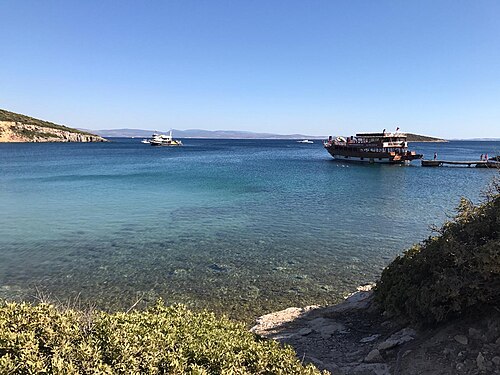
Kara Ada
Eşek Island is a natural island off İzmir’s Çeşme Peninsula, on the eastern side of the Chios Strait, and is formerly known as Goni.

İztuzu Plajı
İztuzu Beach is a long, protected sandy shore in Ortaca district, south of Dalyan in Muğla. The beach stretches for approximately 5,400 metres and occupies a distinctive position between the Mediterranean and the lagoon and canal landscape behind the sand.
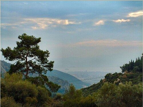
Yamanlar Dağı
Mount Yamanlar is the mountain and nature-park setting identified by İzmir Governorate at Dededağı Tepe in Karşıyaka. Its identity comes from a forested, elevated landscape rather than a building with galleries, exhibits or a timed programme.
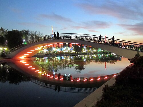
Gençlik Parkı is a large municipal urban park in Ankara’s Ulus neighbourhood, between Ankara railway station and the Opera buildings. Ankara Metropolitan Municipality operates it, and the park opened on 19 May 1943.

Kültürpark is İzmir’s major central urban park and fairground, established on 1 January 1936 under the leadership of Behçet Uz. Its 420,000-square-metre grounds combine mature greenery, public recreation, cultural attractions and event spaces in the centre of the city.

Gediz Deltası
Gediz Delta is a vast wetland on İzmir’s northwestern edge, spreading across the districts of Çiğli, Menemen, Karşıyaka and Foça.
Acıgöl-Nevşehir is a volcanic maar in Nevşehir Province, set beside the Nevşehir–Aksaray road and about 3 km east of Acıgöl district centre. Unlike a conventional lake destination, its basin is now dry, giving the site a distinctly geological character.
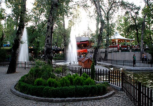
Kuğulu Park is a compact public green space on Tunalı Hilmi Caddesi in Kavaklıdere, Çankaya, Ankara.
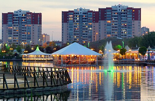
Göksu Parkı
Göksu Park is a distinctive lakeside recreation area in Göksu Mahallesi, Etimesgut, shaped by a 1.6-kilometre route around its lake rather than by a single building or monument.
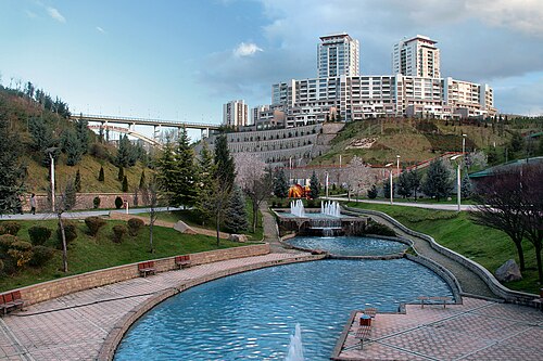
Dikmen Vadisi
Dikmen Valley is a large public green corridor in Ankara’s Çankaya district, extending between the Dikmen and Ayrancı neighbourhoods. It follows a long, sloping valley rather than forming one enclosed attraction.

Nimara Magarasi
Nimara Cave is an open-air archaeological attraction on the north-western slope of Cennet Island, also called Nimara Peninsula, in Marmaris, Muğla.
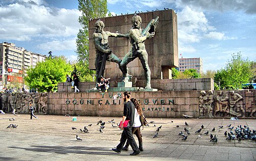
Güvenpark is the green civic space at the heart of Kızılay, in Ankara’s Çankaya district, beside Kızılay Square and Atatürk Boulevard.
Gallesion
Mount Galesios is a 764-metre mountain north of Ephesus, on the northern bank of the Küçükmenderes River in İzmir Province. Galesion and Alamandağ are alternative names for the same peak.
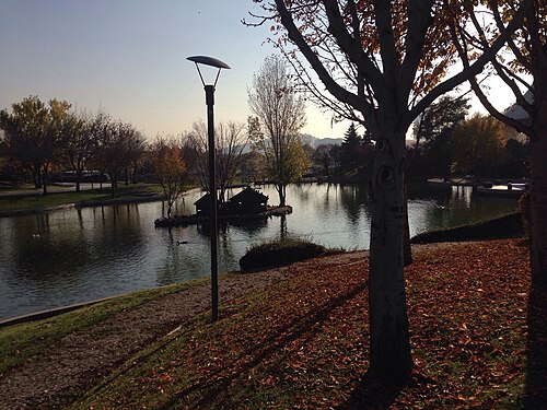
Altınpark is a 640,000-square-metre recreation complex in Ankara’s Altındağ district, shaped by ponds, planted grounds and science, exhibition, meeting and leisure facilities.
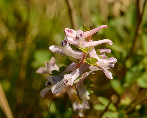
Spil Dağı Millî Parkı
Spil Dağı Milli Parkı is the protected forest on the mountain behind Manisa, opened to the public on 22 April 1968.
İnkaya Mağarası
İnkaya Cave is a dry cave west of Yelki village, on the eastern side of Kocadağ in Güzelbahçe, İzmir. Its documented underground length is 222 metres, and the deepest point is 30 metres below the entrance.
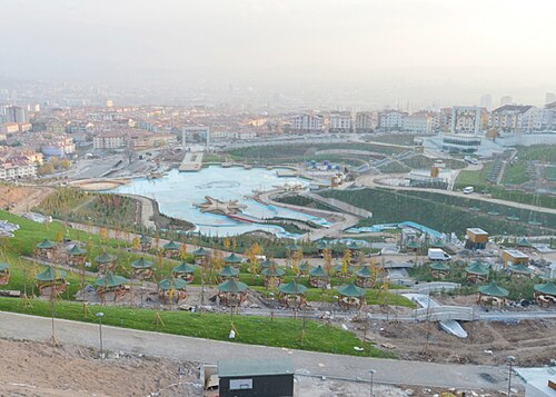
Esertepe Parkı
Esertepe Park is a municipal recreation area in Keçiören, positioned between the Esertepe and Etlik neighbourhoods. Its approximately 180,000-square-metre scale makes it a substantial hillside destination within Ankara rather than a small neighbourhood garden.
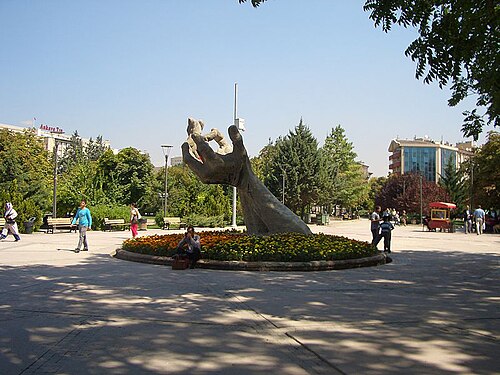
Abdi İpekçi Parkı
Abdi İpekçi Park is a 33,120-square-metre memorial and recreation space on Sıhhiye Square in central Ankara.
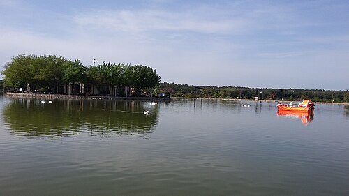
Buca Gölet is a public recreation facility in Belenbaşı Mevkii, near the Sebze Hali in Kaynaklar, within İzmir’s Buca district.
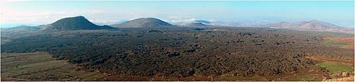
Divlit Yanardağı
Divlit Yanardağı, known locally as Çakallar Tepesi or Divlittepe, is a cinder cone on the shore of the Demirköprü Reservoir in Kula district, at roughly 750 m above sea level.
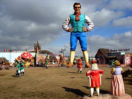
Harikalar Diyarı
Wonderland Ankara is a municipal urban park in Ankara’s Sincan district, around Fatih Mahallesi and Ayaş Yolu.
Panayırdağ
Panayır Mountain is a 121-metre natural summit in Selçuk, İzmir, within the landscape around ancient Ephesus. It is a landform rather than a museum, enclosed attraction or constructed mountain park.
30 Ağustos Zafer Parkı
30 Ağustos Zafer Park is a 166,000-square-metre municipal recreation area beside AŞTİ, Ankara’s intercity bus terminal.
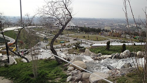
50. Yıl Parkı
50. Yıl Parkı is a hillside public recreation area in Ankara’s 50. Yıl Mahallesi, above Ankara University’s Cebeci Campus in Çankaya. Its character comes from combining open-air recreation with a broad bird’s-eye view across Ankara.
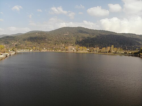
Gölcük
Lake Gölcük is an alluvial-dammed lake in a tectonically defined depression at Gölcük Mahallesi, Ödemiş, İzmir. It sits on the Bozdağlar Plateau at approximately 1,050 metres above sea level, while the surrounding plateau averages about 1,100 metres.
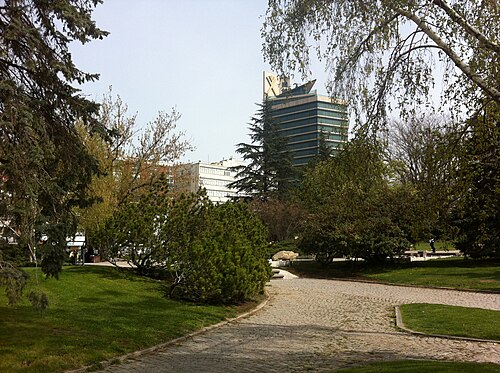
Meclis Parkı
Meclis Park is a green area within the Türkiye Büyük Millet Meclisi (TBMM) campus in Ankara’s Bakanlıklar district, beside Atatürk Bulvarı.
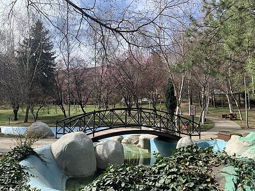
Portakal Çiçeği Vadisi
Orange Blossom Park is a neighbourhood recreation space in Aziziye, within Ankara’s Çankaya district, on Portakal Çiçeği Park İçi Yolu.
Akyarlar Yanardağı
Akyarlar is a seaside settlement at the southern end of the Bodrum Peninsula, in Muğla’s Bodrum district, where a mapped coastal place becomes the setting for an open-air beach visit.

Ortahisar Kalesi
Castle of Ortahisar is the landmark rock citadel at the centre of Ortahisar in Ürgüp district, Nevşehir Province.
Dua Tepe
Duatepe Hill is an outdoor memorial in Polatlı, west of Ankara, marking a decisive position in the Battle of Sakarya.
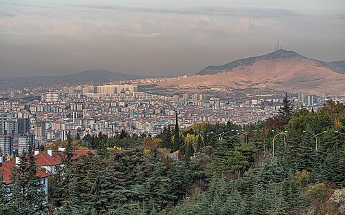
Hüseyingazi Zirvesi
Hüseyin Gazi Mountain rises to 1,236 metres in Ankara’s Mamak district, with a summit settlement that combines a historic tomb and living communal spaces.
Keltepe is a 1,704-metre natural peak in Ankara Province’s Beypazarı district, near Hamzalar and Doğanyurt. OpenStreetMap identifies it as a natural peak, so the destination is the mountain landform itself rather than a staffed attraction, museum, park or commercial viewpoint.
Paşa Dağı is a natural summit in Ankara Province, in the Şereflikoçhisar area near Aksoylar and Odunboğazı. Ankara Governor’s Office lists Paşa Dağı among the province’s volcanic mountains, giving this quiet rural high point a distinctive geographical identity.
Yedigöller
Buca Yedigöller is a neighbourhood recreation area in İzmir, set among the Çağdaş, İzkent, Karanfil, Gaziler and Murathan neighbourhoods.
Çamaltı Tuzlası
Çamaltı Salt Pan is a working coastal salt-production landscape inside İzmir’s Gediz Delta, where shallow evaporation ponds, embankments and wetland habitats meet.

Kordonboyu
Kordon is İzmir’s bayfront promenade, stretching between Konak and Alsancak Port along the central shore of İzmir Bay. Its defining experience is movement beside open water: a continuous urban route where the bay, city frontage and everyday public life meet.
Tulumtaş Mağarası
Tulumtaş Cave is a fossil cave in Tulumtaş Mahallesi, within Ankara’s Gölbaşı district, in the Karayatak area beside the Ankara Ring Road.
100. Yıl Cumhuriyet Millet Bahçesi is a municipal public recreation area in Ege Mahallesi, on Natoyolu Caddesi in Mamak, Ankara.
1550. Cadde Yürüyüş Parkı is a completed municipal neighbourhood park on 1550. Cadde in Çiğdem Mahallesi, within Ankara’s Çankaya district. Its identity is practical and local: a 12,451-square-metre outdoor space designed around walking, running, exercise and pauses between everyday journeys.
1554. Cadde Yeşil Alan is a mapped pocket of greenery beside 1554. Cadde in Çiğdem Mahallesi, within Ankara’s Çankaya district.
66 Evler Parkı is a neighbourhood green space in Yenikent Mahallesi, Urla, within İzmir Province.
Buğday Tepe is a 1,308-metre natural summit in the mountainous surroundings of Buldan district in Denizli Province, close to the Manisa provincial border. Its appeal is the open mountain landscape rather than a building, collection or staffed attraction.
Çetinkaya Park is a neighbourhood outdoor park on Bahtiyar Tosunbaş Caddesi in Hafsa Sultan, Yunusemre, Manisa. Its defining documented feature is a network of running paths renewed with an acrylic surface by Yunusemre Municipality’s Park and Gardens Directorate.
Fethiye Limanı is a public harbour and quay on Fethiye’s waterfront, linking the Karagözler shoreline with the İskele area. Its identity is practical and maritime: visitors orient themselves among quays, boats and passenger departures rather than enter an enclosed attraction.
Gülbahçe Parkı, also known in newer municipal references as Tarık Kesekçi Parkı, is a compact green space in central Nevşehir.
Hamam Tepe is a natural mountain summit in Manisa Province, within the Bozdağlar range. At 800 metres, it is an open landscape rather than an enclosed attraction, museum or staffed visitor facility.
Hanımkaya Tepesi is a natural peak in Manisa Province, in the Demirci area, near the localities of Ulacık and Kulalar.
İrpek Tepe is a natural summit in Manisa Province’s Yuntdağı area, in countryside associated with Davutlar and Demirci. The summit stands at approximately 670 metres and is an outdoor walking destination rather than a staffed attraction, museum or archaeological site.
Kocagöl Tepe is a mapped natural peak in Sarıgöl district of Manisa Province, near the named locality of Karacaali. Its identity is defined by open hillside and summit landscape rather than buildings, exhibitions or staffed visitor services.
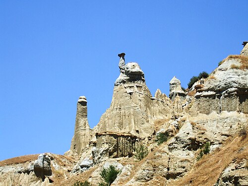
Kula Perbacaları seyir terası
Kuladokya is a fairy-chimney viewing terrace and 1.2 kilometre walking trail inside the Kula-Salihli UNESCO Global Geopark, near Yurtbaşı village on the İzmir-Ankara highway, about 16 km from Kula town.
Kula Volkanik Jeoparkı
Kula-Salihli UNESCO Global Geopark, signed locally as Kula Volkanik Jeoparkı, is a 2,320 square kilometre protected volcanic landscape spanning the Kula and Salihli districts of Manisa Province, roughly 100 km east of Manisa city.
Lav Mağarası
Lav Mağarası is a named lava-cave geosite in Kula Divlit Volcanic Park, within Kula district of Manisa. It is a natural volcanic formation rather than a built attraction with galleries, lighting or exhibition rooms.
Manolya Meydanı is a named public square in central Manisa where everyday movement, meetings and civic activity come together.

Meskendir Valley Viewpoint is an open-air stopping point in the walking landscape of Meskendir Valley, near Göreme in Nevşehir Province.
Necdi Şentürk Şehir Parkı is an urban recreation area in İnönü Mahallesi, within Akhisar’s central Kültürpark area in Manisa province. It is also referred to as Kültürpark and Şehit Yüzbaşı Necdi Şentürk Parkı.

Rose Valley viewpoint is a named outdoor stopping point in the Güllüdere landscape near Nevşehir, associated with the valley between Göreme and Çavuşin.
Turan Bayraktepe Seyir Terası is a mountain viewpoint in the summit area of Spil Dağı Milli Parkı above Manisa. Its character comes from the open mountain setting and the elevated outlook, rather than from an enclosed exhibition or built collection.

Niobe Ağlayan Kaya
The Weeping Rock of Niobe — Ağlayan Kaya on the roadside marker — is a natural cliff formation on the northern flank of Mount Sipylus above Manisa, in Dere Mahallesi — formerly Karaköy — at Çaybaşı, along the stream of…
Yağcı Dağı is a 1,516-metre mountain in Selendi district of Manisa Province, among the principal elevations north of Selendi. Its appeal is the high, forested landscape rather than buildings or exhibitions.
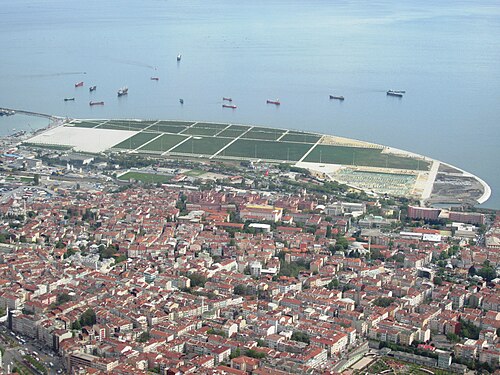
Yenikapı Şehir Parkı
Alem Dağı
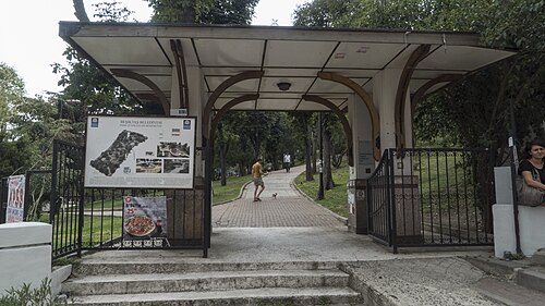
Abbasağa Parkı
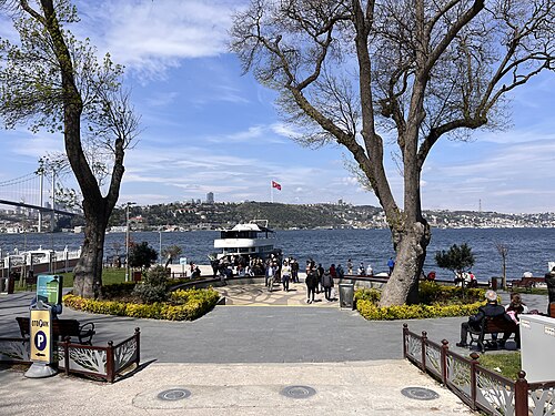
Beylerbeyi Parkı

Topkapı Şehir Parkı
Source: OpenStreetMap contributors, Wikidata ·
Ten to fourteen days allows about four days in İstanbul and at least three around Antalya when coastal archaeology is included. Cappadocia needs its own regional stay, and a one-way coastal route is more workable than returning to the same city each night.
Türkiye's visa position varies by passport and purpose. Verify the rule through the Ministry of Foreign Affairs and, when eligible, use only the official e-Visa service rather than an intermediary.
İstanbul's two airports and Antalya are the principal gateways for this itinerary. Domestic flights cover long cross-country legs, coaches serve many city pairs, and high-speed rail is most useful on the İstanbul-Ankara axis rather than as a universal substitute.
April to May and September to October are broad choices for combining İstanbul with the Mediterranean coast. Cappadocia nights, inland heat, and Antalya's coastal conditions differ, so confirm weather for each overnight base.
Türkiye uses the Turkish lira (TRY). Keep lira available for smaller transport and market transactions even when cards are accepted, and review the displayed amount in TRY before agreeing to any card conversion.
Dial 112 for emergencies in Türkiye. Electricity is 230 V through Type C and F sockets; tap-water safety is not recorded here, so obtain current local advice at each stop.