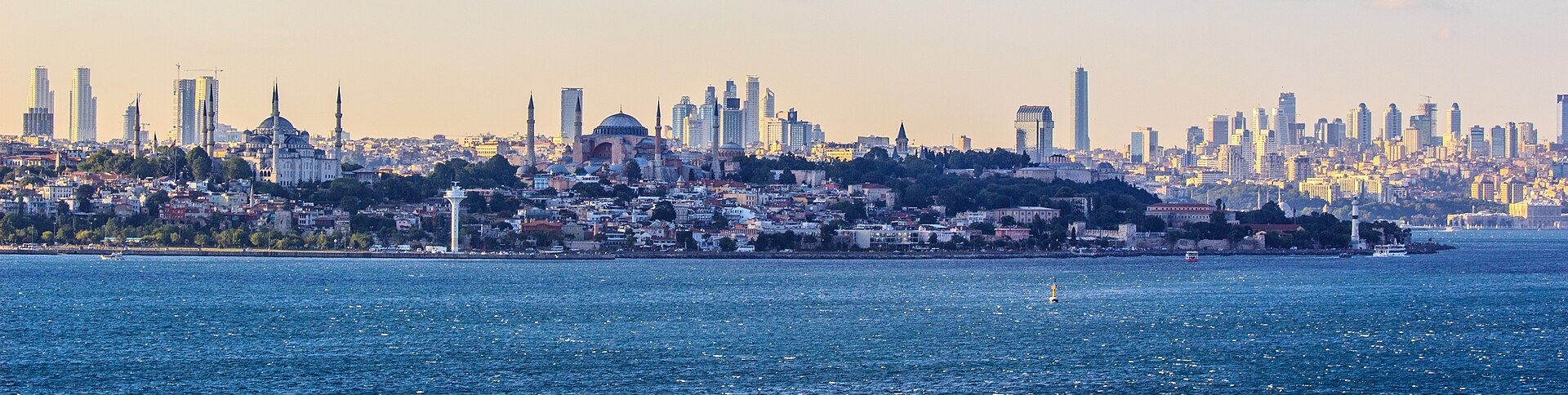
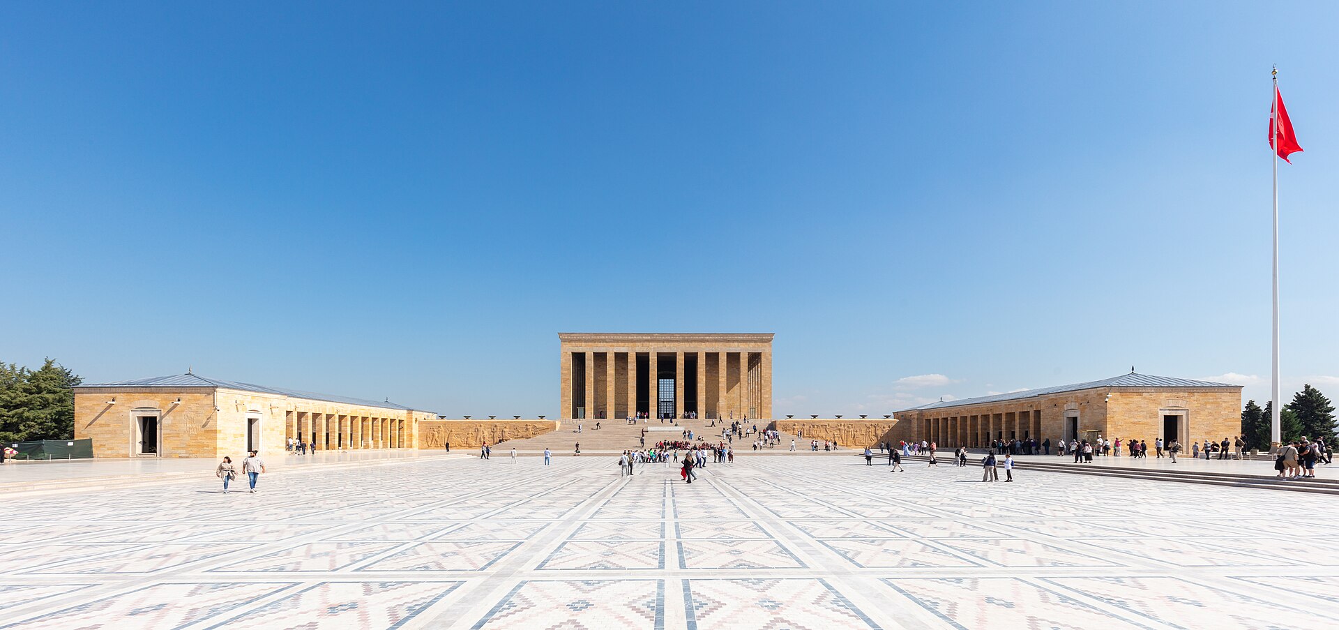
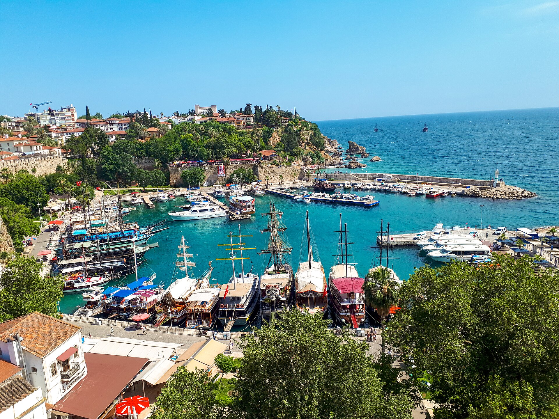
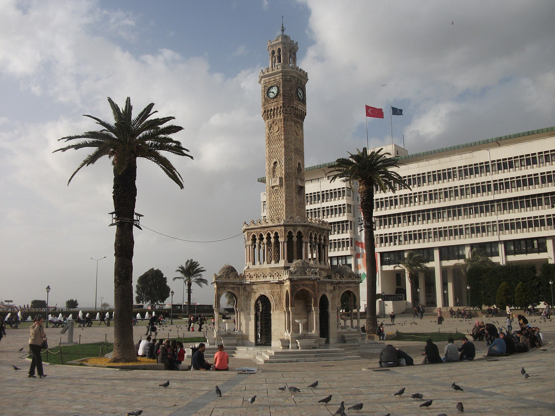
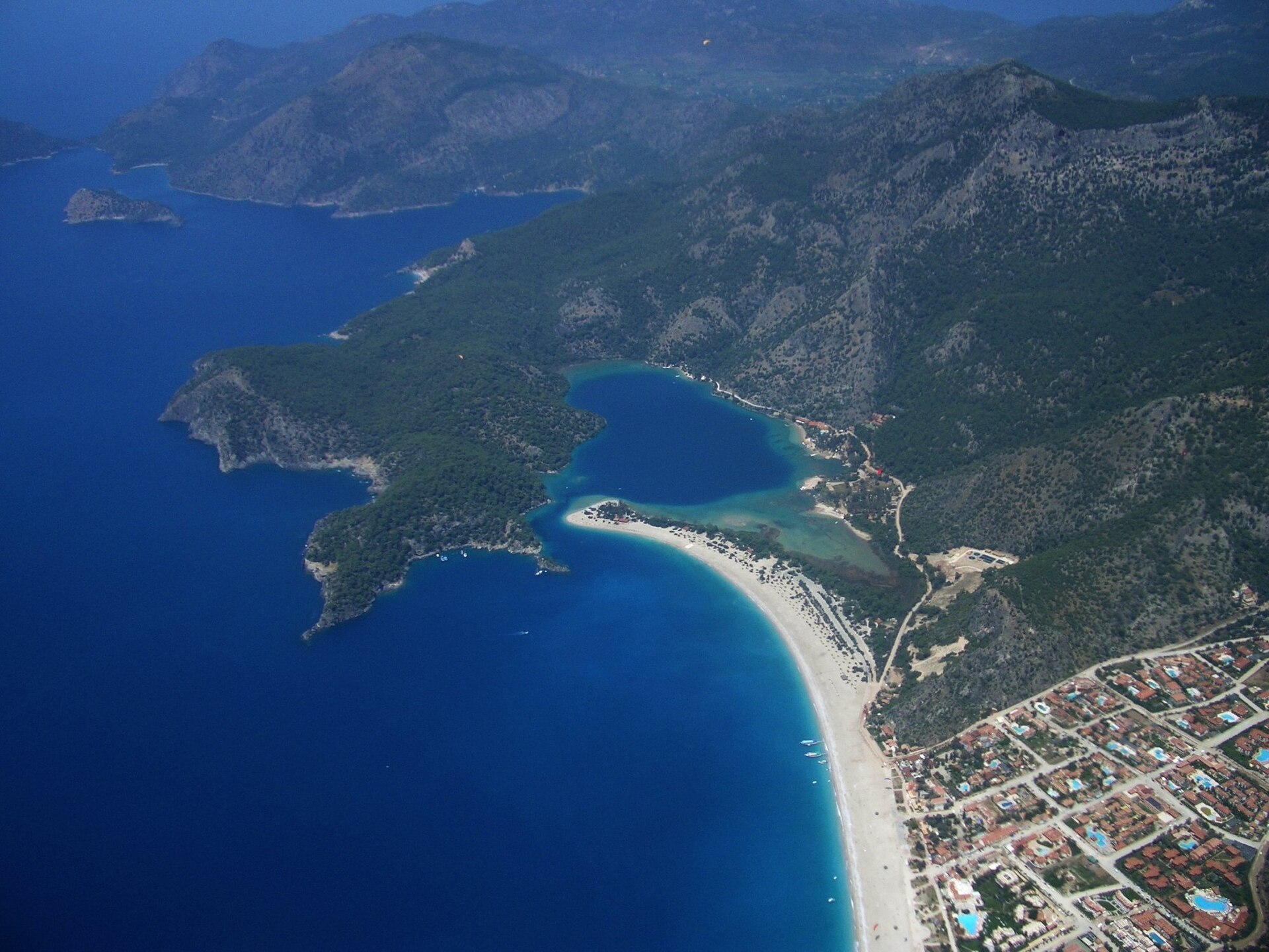
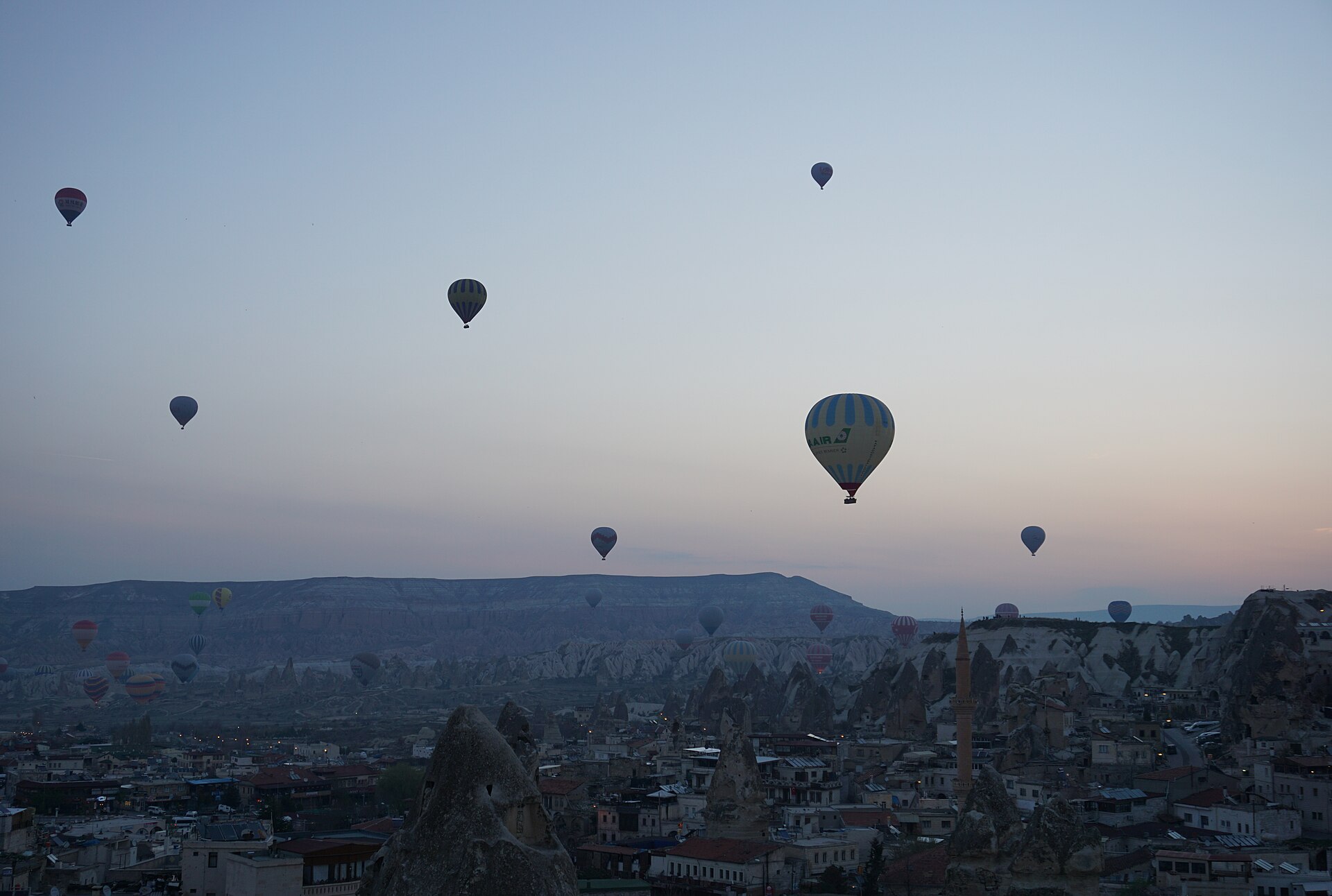
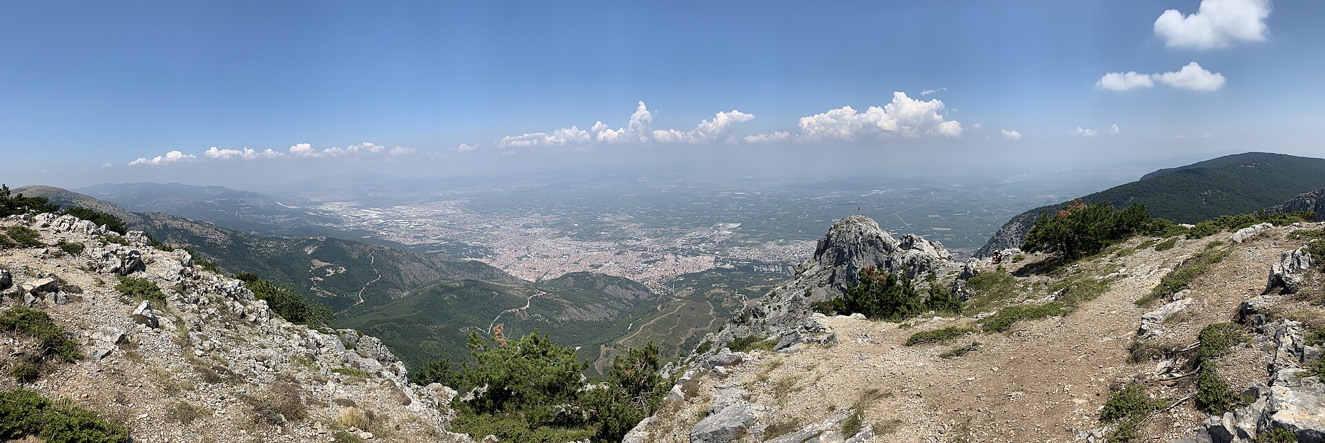
A photograph of Türkiye

Country guide

Theme: Nature in Türkiye — page 3

Türkiye is 783,562 km² across 81 provinces, most of it Anatolia in West Asia with East Thrace on the European side of the straits. It has three coasts to choose...

Photograph · Benh LIEU SONG · CC BY-SA 4.0

26,399 Places
7Cities

Reviewed by Elena Voss · Roavina Travel Editor

Türkiye is 783,562 km² across 81 provinces, most of it Anatolia in West Asia with East Thrace on the European side of the straits. It has three coasts to choose between — the Black Sea to the north, the Aegean to the west, the Mediterranean to the south — and an interior plateau that behaves like a different country in winter. Istanbul is the largest city and the economic centre, Ankara the capital and the second-largest, and the December 2025 population of 86,092,168 is weighted heavily to the west. A first trip is usually Istanbul and one coast; the plateau is the second trip.

Checked 2026-08-25

Cities

Every city catalogued in this country so far, ranked by how much there is to see.

Practical information

Language spoken
Turkish
The official language of the Republic of Turkiye
Dialling code
+90
The international dialling code for Turkiye
Currency
Turkish lira (₺, TRY)
The official currency; one lira is divided into 100 kurus
Emergency number
112
One number for ambulance, fire and police
Plug type
European two-pin · 220 V
The national living guide records 220 V and European-style two-pin plugs
Tap water
Not recorded
No verified national source in the dataset

Top things to see

Ranked by importance — sitelinks, pageviews and heritage status, not editor preference.

  1. Keltepe
    51 20 min

    Keltepe

    Keltepe is a 1,704-metre natural peak in Ankara Province’s Beypazarı district, near Hamzalar and Doğanyurt. OpenStreetMap identifies it as a natural peak, so the destination is the mountain landform itself rather than a staffed attraction, museum, park or commercial viewpoint.

    • High
    • Viewpoint
    • Ankara
  2. Paşa Dağı
    52 20 min

    Paşa Dağı

    Paşa Dağı is a natural summit in Ankara Province, in the Şereflikoçhisar area near Aksoylar and Odunboğazı. Ankara Governor’s Office lists Paşa Dağı among the province’s volcanic mountains, giving this quiet rural high point a distinctive geographical identity.

    • High
    • Viewpoint
    • Ankara
  3. Buca Yedigöller
    53 1 hour

    Buca Yedigöller

    Yedigöller

    Buca Yedigöller is a neighbourhood recreation area in İzmir, set among the Çağdaş, İzkent, Karanfil, Gaziler and Murathan neighbourhoods.

    • High
    • Nature site
    • İzmir
  4. Çamaltı Salt Pan
    54 1 hour

    Çamaltı Salt Pan

    Çamaltı Tuzlası

    Çamaltı Salt Pan is a working coastal salt-production landscape inside İzmir’s Gediz Delta, where shallow evaporation ponds, embankments and wetland habitats meet.

    • High
    • Nature site
    • İzmir
  5. Kordon Kordon
    55 1 hour

    Kordon

    Kordonboyu

    Kordon is İzmir’s bayfront promenade, stretching between Konak and Alsancak Port along the central shore of İzmir Bay. Its defining experience is movement beside open water: a continuous urban route where the bay, city frontage and everyday public life meet.

    • High
    • Nature site
    • İzmir
  6. Tulumtaş Cave
    56 1 hour

    Tulumtaş Cave

    Tulumtaş Mağarası

    Tulumtaş Cave is a fossil cave in Tulumtaş Mahallesi, within Ankara’s Gölbaşı district, in the Karayatak area beside the Ankara Ring Road.

    • High
    • Nature site
    • Ankara
  7. 100. Yıl Cumhuriyet Millet Bahçesi
    57 1 hour

    100. Yıl Cumhuriyet Millet Bahçesi

    100. Yıl Cumhuriyet Millet Bahçesi is a municipal public recreation area in Ege Mahallesi, on Natoyolu Caddesi in Mamak, Ankara.

    • Notable
    • Nature site
    • Ankara
  8. 1550. Cadde Yürüyüş Parkı
    58 1 hour

    1550. Cadde Yürüyüş Parkı

    1550. Cadde Yürüyüş Parkı is a completed municipal neighbourhood park on 1550. Cadde in Çiğdem Mahallesi, within Ankara’s Çankaya district. Its identity is practical and local: a 12,451-square-metre outdoor space designed around walking, running, exercise and pauses between everyday journeys.

    • Notable
    • Nature site
    • Ankara
  9. 1554. cadde yeşil alan
    59 1 hour

    1554. cadde yeşil alan

    1554. Cadde Yeşil Alan is a mapped pocket of greenery beside 1554. Cadde in Çiğdem Mahallesi, within Ankara’s Çankaya district.

    • Notable
    • Nature site
    • Ankara
  10. 66 Evler Parkı
    60 1 hour

    66 Evler Parkı

    66 Evler Parkı is a neighbourhood green space in Yenikent Mahallesi, Urla, within İzmir Province.

    • Notable
    • Nature site
    • İzmir
  11. Buğday Tepe
    61 20 min

    Buğday Tepe

    Buğday Tepe is a 1,308-metre natural summit in the mountainous surroundings of Buldan district in Denizli Province, close to the Manisa provincial border. Its appeal is the open mountain landscape rather than a building, collection or staffed attraction.

    • Notable
    • Viewpoint
    • Manisa
  12. Çetinkaya Park
    62 1 hour

    Çetinkaya Park

    Çetinkaya Park is a neighbourhood outdoor park on Bahtiyar Tosunbaş Caddesi in Hafsa Sultan, Yunusemre, Manisa. Its defining documented feature is a network of running paths renewed with an acrylic surface by Yunusemre Municipality’s Park and Gardens Directorate.

    • Notable
    • Nature site
    • Manisa
  13. Fethiye Limanı
    63 1 hour

    Fethiye Limanı

    Fethiye Limanı is a public harbour and quay on Fethiye’s waterfront, linking the Karagözler shoreline with the İskele area. Its identity is practical and maritime: visitors orient themselves among quays, boats and passenger departures rather than enter an enclosed attraction.

    • Notable
    • Nature site
    • Muğla
  14. Gülbahçe Parkı
    64 1 hour

    Gülbahçe Parkı

    Gülbahçe Parkı, also known in newer municipal references as Tarık Kesekçi Parkı, is a compact green space in central Nevşehir.

    • Notable
    • Nature site
    • Nevşehir
  15. Hamam Tepe
    65 20 min

    Hamam Tepe

    Hamam Tepe is a natural mountain summit in Manisa Province, within the Bozdağlar range. At 800 metres, it is an open landscape rather than an enclosed attraction, museum or staffed visitor facility.

    • Notable
    • Viewpoint
    • Manisa
  16. Hanımkaya Tepesi
    66 20 min

    Hanımkaya Tepesi

    Hanımkaya Tepesi is a natural peak in Manisa Province, in the Demirci area, near the localities of Ulacık and Kulalar.

    • Notable
    • Viewpoint
    • Manisa
  17. İrpek Tepe
    67 20 min

    İrpek Tepe

    İrpek Tepe is a natural summit in Manisa Province’s Yuntdağı area, in countryside associated with Davutlar and Demirci. The summit stands at approximately 670 metres and is an outdoor walking destination rather than a staffed attraction, museum or archaeological site.

    • Notable
    • Viewpoint
    • Manisa
  18. Kocagöl Tepe
    68 20 min

    Kocagöl Tepe

    Kocagöl Tepe is a mapped natural peak in Sarıgöl district of Manisa Province, near the named locality of Karacaali. Its identity is defined by open hillside and summit landscape rather than buildings, exhibitions or staffed visitor services.

    • Notable
    • Viewpoint
    • Manisa
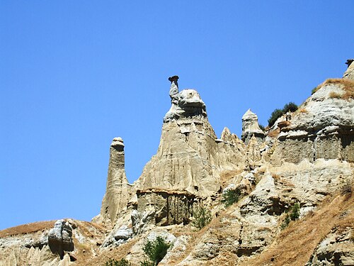
  19. Kula Fairy Chimneys Viewing Terrace Kula Fairy Chimneys Viewing Terrace
    69 30 min

    Kula Fairy Chimneys Viewing Terrace

    Kula Perbacaları seyir terası

    Kuladokya is a fairy-chimney viewing terrace and 1.2 kilometre walking trail inside the Kula-Salihli UNESCO Global Geopark, near Yurtbaşı village on the İzmir-Ankara highway, about 16 km from Kula town.

    • Notable
    • Viewpoint
    • Manisa
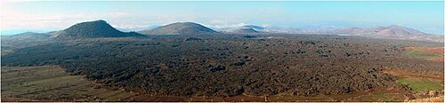
  20. Kula Volcanic Geopark Kula Volcanic Geopark
    70 4 hours

    Kula Volcanic Geopark

    Kula Volkanik Jeoparkı

    Kula-Salihli UNESCO Global Geopark, signed locally as Kula Volkanik Jeoparkı, is a 2,320 square kilometre protected volcanic landscape spanning the Kula and Salihli districts of Manisa Province, roughly 100 km east of Manisa city.

    • Notable
    • Nature site
    • Manisa
  21. Lava Cave
    71 1 hour

    Lava Cave

    Lav Mağarası

    Lav Mağarası is a named lava-cave geosite in Kula Divlit Volcanic Park, within Kula district of Manisa. It is a natural volcanic formation rather than a built attraction with galleries, lighting or exhibition rooms.

    • Notable
    • Nature site
    • Manisa
  22. Manolya Meydanı
    72 1 hour

    Manolya Meydanı

    Manolya Meydanı is a named public square in central Manisa where everyday movement, meetings and civic activity come together.

    • Notable
    • Nature site
    • Manisa
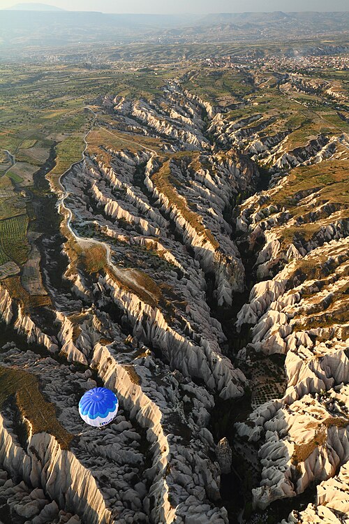
  23. Meskendir Valley Viewpoint Meskendir Valley Viewpoint
    73 20 min

    Meskendir Valley Viewpoint

    Meskendir Valley Viewpoint is an open-air stopping point in the walking landscape of Meskendir Valley, near Göreme in Nevşehir Province.

    • Notable
    • Viewpoint
    • Nevşehir
  24. Necdi Şentürk Şehir Parkı
    74 1 hour

    Necdi Şentürk Şehir Parkı

    Necdi Şentürk Şehir Parkı is an urban recreation area in İnönü Mahallesi, within Akhisar’s central Kültürpark area in Manisa province. It is also referred to as Kültürpark and Şehit Yüzbaşı Necdi Şentürk Parkı.

    • Notable
    • Nature site
    • Manisa
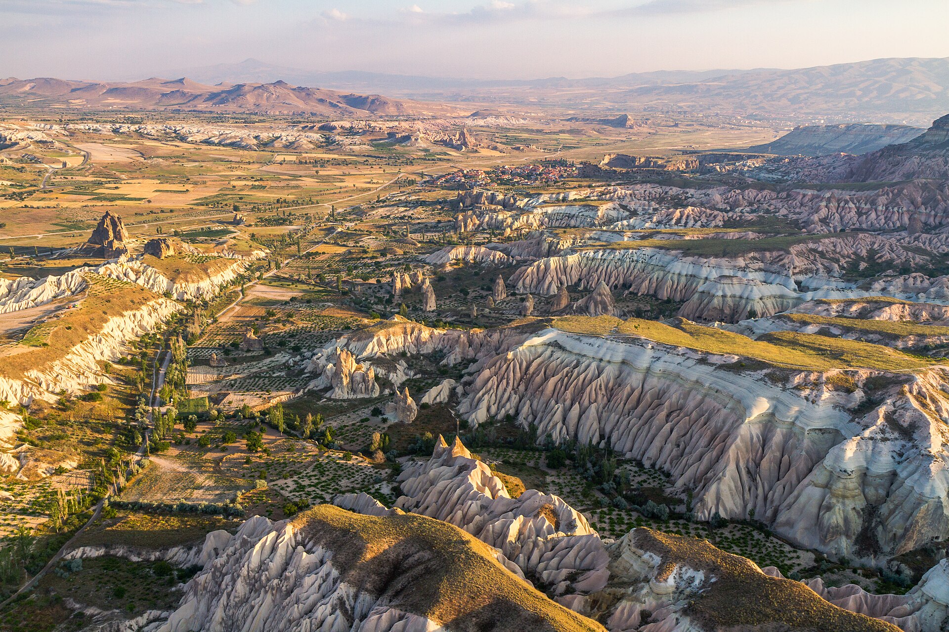
  25. Rose valley viewpoint Rose valley viewpoint
    75 20 min

    Rose valley viewpoint

    Rose Valley viewpoint is a named outdoor stopping point in the Güllüdere landscape near Nevşehir, associated with the valley between Göreme and Çavuşin.

    • Notable
    • Viewpoint
    • Nevşehir

Source: OpenStreetMap contributors, Wikidata ·

Common questions

How long should a first trip to Türkiye be?

Ten to fourteen days allows about four days in İstanbul and at least three around Antalya when coastal archaeology is included. Cappadocia needs its own regional stay, and a one-way coastal route is more workable than returning to the same city each night.

What entry documents are needed for Türkiye?

Türkiye's visa position varies by passport and purpose. Verify the rule through the Ministry of Foreign Affairs and, when eligible, use only the official e-Visa service rather than an intermediary.

What is the best way to travel around Türkiye?

İstanbul's two airports and Antalya are the principal gateways for this itinerary. Domestic flights cover long cross-country legs, coaches serve many city pairs, and high-speed rail is most useful on the İstanbul-Ankara axis rather than as a universal substitute.

When is a practical time to visit Türkiye?

April to May and September to October are broad choices for combining İstanbul with the Mediterranean coast. Cappadocia nights, inland heat, and Antalya's coastal conditions differ, so confirm weather for each overnight base.

What money and payment basics apply in Türkiye?

Türkiye uses the Turkish lira (TRY). Keep lira available for smaller transport and market transactions even when cards are accepted, and review the displayed amount in TRY before agreeing to any card conversion.

What practical safety details should I save for Türkiye?

Dial 112 for emergencies in Türkiye. Electricity is 230 V through Type C and F sockets; tap-water safety is not recorded here, so obtain current local advice at each stop.