
169 min walk
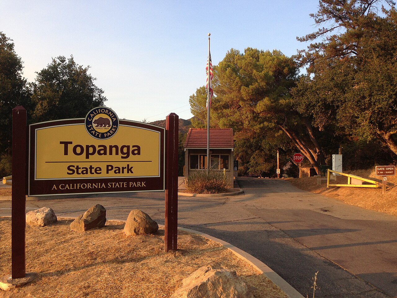
Topanga State Park
- Must see
- Nature site
Nature site · Los Angeles
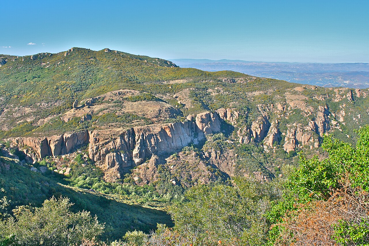
Santa Monica Mountains National Recreation Area is a United States national recreation area protecting the Santa Monica Mountains and adjacent shorelines in Southern California. Established by Congress, it represents one of the largest protected areas of its kind near a major metropolitan area. The recreation area encompasses diverse terrain including chaparral-covered slopes, sandstone peaks, and coastal zones. It spans portions of Los Angeles and Ventura counties, offering wilderness experiences proximate to urban development. The National Park Service administers portions in cooperation with California State Parks, the Santa Monica Mountains Conservancy, and other agencies.
Checked 2026-08-26
The recreation area contains varied landscapes and features. Malibu Creek State Park lies within its boundaries, offering additional recreational opportunities. The area includes numerous trails for hiking, mountain biking, and horseback riding. Paramount Ranch, historically used as a film location, presents structures reflecting its cinematic past. Solstice Canyon provides riparian habitat access. The Backbone Trail traverses significant distances through mountain terrain. Rocky Oaks and Cheeseboro Canyon represent additional accessible areas. Coastal access points exist at locations including Leo Carrillo State Park and Point Dume. Wildlife includes mountain lions, coyotes, deer, and numerous bird species adapted to Mediterranean-type ecosystems.
Checked 2026-08-26
Visitor duration varies substantially based on chosen activities. Single trail excursions may require two to four hours. Traversing substantial portions of the Backbone Trail demands multiple days. Beach visits at coastal access points might occupy half a day. Exploring Paramount Ranch or Solstice Canyon thoroughly typically requires several hours. Photography or nature observation activities extend visits according to individual interest. The recreation area's extensive road network permits driving portions for scenic appreciation without extended stops. Multi-day backpacking requires appropriate permits and preparation. Visitors should assess personal fitness levels against trail difficulty ratings and elevation changes before committing to specific routes.
Checked 2026-08-26
Southern California's Mediterranean climate influences visitation patterns. Summer months bring warm temperatures and increased fire risk, potentially affecting access. Winter may produce precipitation rendering some trails muddy or hazardous. Spring typically displays wildflower blooms in favorable years. Coastal areas experience moderated temperatures compared to interior mountain zones. Morning fog commonly affects coastal portions during certain seasons. Visitors should consult official National Park Service communications for current conditions, trail status, and any fire-related closures before traveling. Seasonal variations in daylight hours affect feasible hiking durations. Wildfire smoke may degrade air quality unpredictably. Check the operator's own site for the travel date before relying on a schedule or fare.
Checked 2026-08-26
Access to much of the recreation area occurs without entrance fees, though specific sites or facilities may impose charges. California State Parks within the recreation area typically require day-use or parking fees. Annual pass options may benefit frequent visitors to state park units. Some trailheads lack formal fee collection infrastructure. Backcountry camping permits, where required, involve separate administrative processes. Visitors should carry adequate cash for locations with fee stations. Pass compatibility between federal and state management entities varies. Verification of current fee structures through official channels prevents unexpected costs. Interagency passes may provide partial coverage depending on specific site administration. Check the operator's own site for the travel date before relying on a schedule or fare.
Checked 2026-08-26
The recreation area extends across a broad geographic area with multiple access points. Pacific Coast Highway provides coastal access to numerous trailheads and beaches. The Ventura Freeway and other major routes intersect mountain portions. Public transit options exist but prove limited for reaching specific trailheads; visitors should verify current bus routes and schedules. Parking availability varies significantly by location and season, with popular trailheads experiencing saturation during peak periods. Some access roads traverse narrow, winding terrain requiring cautious driving. Mountain road conditions may deteriorate following weather events. Visitors without personal vehicles face substantial logistical challenges accessing dispersed recreation area features.
Checked 2026-08-26
Wildlife encounters require appropriate precautions; mountain lions inhabit the area though sightings remain uncommon. Venomous snake species including rattlesnakes occupy suitable habitat. Poison oak grows extensively throughout chaparral zones. Fire danger elevates during dry periods, potentially triggering emergency closures. Steep, unstable terrain presents fall hazards on certain trails. Limited cellular coverage affects emergency communication in remote portions. Water scarcity characterizes most trails; carrying adequate supplies proves essential. Tick exposure occurs in vegetated areas. Trail conditions vary with maintenance schedules and weather impacts. Heat-related illness risk increases during warm periods. Visitors should inform others of intended routes and expected return times.
Checked 2026-08-26
The recreation area offers diverse photographic subjects encompassing coastal vistas, mountain panoramas, chaparral vegetation, and wildlife. Golden hour illumination enhances coastal and inland scenes. Fog conditions create atmospheric opportunities at shoreline locations. Paramount Ranch provides structural and historical interest. Wildflower displays, when occurring, attract considerable photographic attention. Night sky photography benefits from reduced light pollution in remote portions relative to urban Los Angeles. Tripod use on trails requires awareness of other visitors. Drone operation falls under National Park Service regulations requiring careful compliance. Seasonal variations in vegetation color and atmospheric clarity affect landscape photography outcomes. Early arrival at popular viewpoints avoids crowding.
Checked 2026-08-26
No. The Santa Monica Mountains National Recreation Area spans portions of both Los Angeles and Ventura counties, extending beyond municipal boundaries.
No. Management involves cooperation with California State Parks, the Santa Monica Mountains Conservancy, and other agencies.
Backcountry camping occurs in designated areas with appropriate permits, though specific requirements and availability should be verified through official channels.
No. The complete Backbone Trail extends substantial distances requiring multiple days; segment selection should match individual fitness and experience levels.
No. Much of the recreation area requires no entrance fee, though specific state park sites typically impose day-use or parking fees.
Personal vehicles substantially improve access to dispersed features, though limited public transit options exist for some locations.
Loading the interactive map…
The interactive map could not be loaded.
Last updated:
Source: OpenStreetMap contributors, Wikidata ·