.jpg)

.jpg)

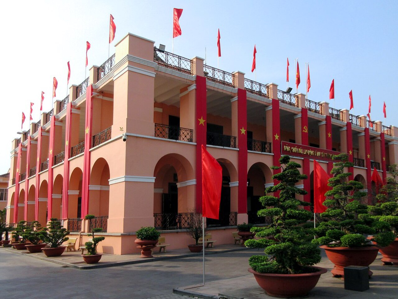
4 min walk
Nha Rong Port Historic Site
- Must see
- Historic monument
Language · 11 published
Historic monument · Ho Chi Minh City
Cầu Mống
Reviewed by Elena Voss · Roavina Travel Editor
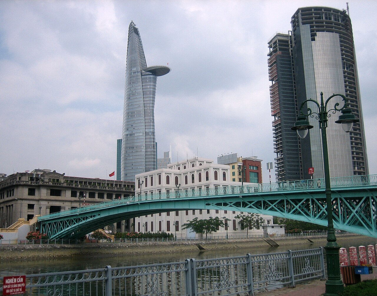
This place is a Attraction. It opened in 1894.
Mong Bridge is a historic bridge structure in Ho Chi Minh City, Vietnam, crossing a waterway within the dense urban landscape. The bridge forms part of the city’s colonial-era infrastructure and remains a practical crossing for pedestrians and traffic. Its value lies in the way it connects everyday movement with the city’s layered architectural past. Visitors can include Mong Bridge in a wider walk through central Ho Chi Minh City, where older engineering works, French colonial buildings, commercial streets, and modern development stand close together. The bridge is best understood as a piece of living urban heritage rather than a museum building or enclosed monument.
Checked 2026-08-26 · Source
Mong Bridge has no enclosed galleries, rooms, or exhibition spaces. The visitor experience takes place on the bridge deck, beside its railings, and around the supporting structure. From the crossing, visitors can observe the waterway below and the surrounding urban fabric on both banks. The bridge’s deck, framework, and aged structural surfaces provide the main visual subjects. Nearby streets add context, showing how the crossing functions within a busy central district. Mong Bridge does not house a separate attraction, collection, or visitor centre; the interest comes from seeing an historic transport structure still integrated into city life.
Checked 2026-08-26 · Source
A direct crossing of Mong Bridge takes only a few minutes at an ordinary walking pace. Allow around fifteen to thirty minutes if you want to pause for architectural observation, look over the waterway, and make photographs from suitable public positions. The bridge works well as a short stop within a longer central-city walk rather than as a full-day destination. Visitors interested in urban infrastructure can spend longer examining the deck, railings, supporting framework, and relationship between the bridge and nearby streets. A broader exploration of the surrounding district can fill several hours.
Checked 2026-08-26 · Source

Mong Bridge is an outdoor crossing, so weather has a direct effect on comfort and visibility. Ho Chi Minh City’s dry season, from December to April, generally provides more predictable conditions for walking and photography. Morning and late afternoon are useful times for a more comfortable outdoor stop and can give the bridge’s structure clearer light. From May to November, tropical rainfall can interrupt a visit and make surfaces wet. The bridge has no recorded seasonal programme or special event schedule, so visitors encounter it as part of the ordinary movement of the city.
Checked 2026-08-26 · Source
Crossing Mong Bridge is a public urban activity and does not require a visitor ticket. There is no described ticket office, turnstile, or admission checkpoint on the bridge. Photography from public areas does not create a bridge-specific admission cost. The bridge is part of the city’s transport network, so visitors should plan for ordinary expenses connected with reaching and exploring the surrounding district rather than a separate attraction fee. Commercial filming or organised activity may involve municipal requirements, but no specific procedure is supplied for this location.
Checked 2026-08-26 · Source
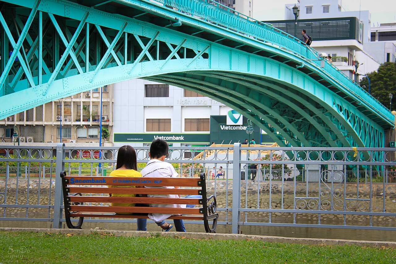
Mong Bridge stands within Ho Chi Minh City’s dense urban core, where narrow streets and mixed residential and commercial development surround the crossing. Visitors can reach the area by taxi, ride-hailing service, or motorbike, all common ways to move through the metropolis. Walking from nearby accommodation or another central landmark is practical when the bridge forms part of a neighbourhood route. Public buses serve the wider central area, although the supplied place record does not identify a particular stop. Use the mapped bridge location to guide the final approach, and expect Vietnamese-first signage in nearby streets.
Checked 2026-08-26 · Source
Mong Bridge remains part of an active traffic environment, so pedestrians should keep to a safe position and watch continuously for motorbikes and other vehicles. The bridge deck may contain uneven surfaces or debris, making careful footing important. The waterway below requires a safe distance from the edge, especially when taking photographs. Ho Chi Minh City’s tropical heat makes drinking water, sun protection, and suitable footwear useful for an outdoor walk. Keep bags secure in crowded urban surroundings. At night, visibility depends on the lighting present at the crossing, so daylight is the simpler choice for examining structural details.
Checked 2026-08-26 · Source
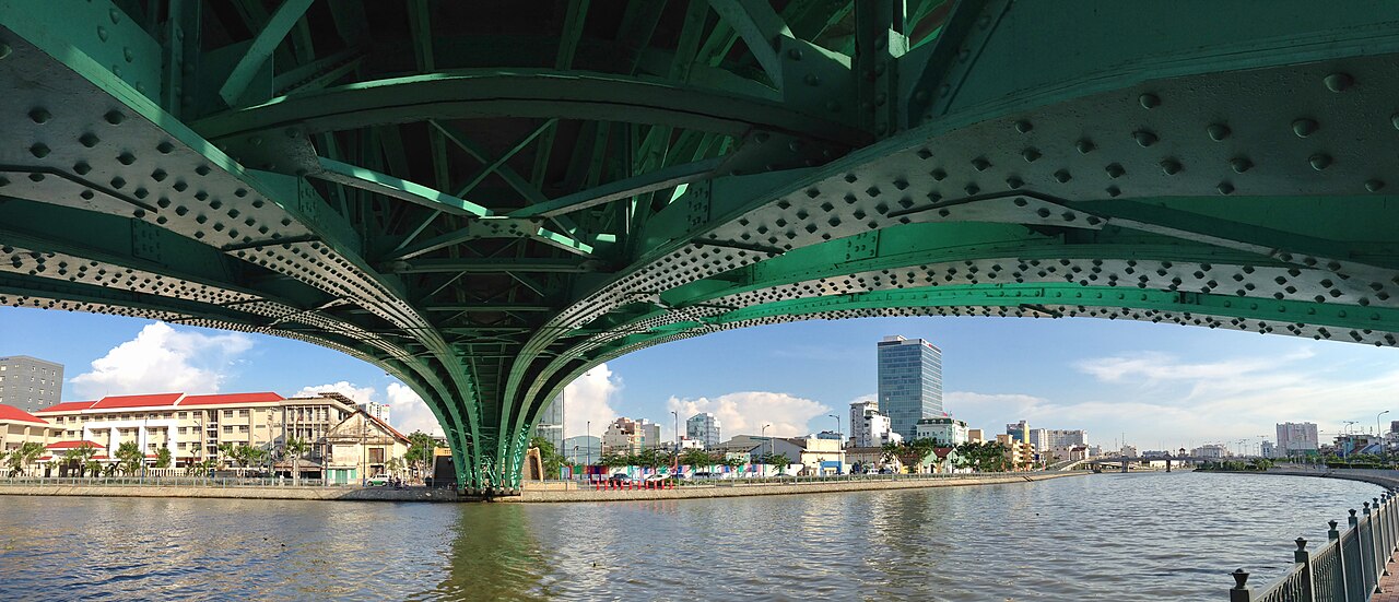
Mong Bridge suits photographs of urban infrastructure, with the deck, railings, supporting framework, waterway, and surrounding buildings providing the main subjects. A view from the crossing can show the vertical relationship between bridge and water, while positions on the approaches can frame the structure within Ho Chi Minh City’s dense streetscape. Morning and late afternoon light can bring out surface texture and structural lines. Avoid standing in traffic paths or blocking pedestrians, and keep a secure position beside the waterway. Public-area photography has no recorded bridge-specific charge. Drone operation falls under Vietnamese aviation rules.
Checked 2026-08-26 · Source
Mong Bridge functions as a crossing for pedestrians and traffic. Visitors experience it as working urban infrastructure as well as a surviving part of Ho Chi Minh City’s colonial-era engineering landscape.
The crossing gives views of the waterway below, the bridge’s deck and supporting framework, and the dense urban surroundings on both banks.
A crossing takes several minutes. Allow about fifteen to thirty minutes for a short stop focused on structural details, the waterway, and photography.
No. Mong Bridge is an open crossing without galleries, exhibitions, or enclosed visitor rooms. Its interest comes from the structure and its place in the active city.
The dry season from December to April generally offers more predictable outdoor conditions. Morning and late afternoon are useful times for walking and photography.
Photographers should avoid traffic lanes, keep clear of pedestrian flow, and maintain a safe distance from the waterway edge while composing images.
Loading the interactive map…
The interactive map could not be loaded.
Last updated:
Source: OpenStreetMap contributors, Wikidata ·