
07
45 min
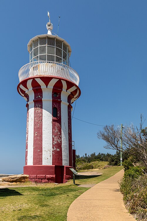
Hornby Lighthouse
Hornby Lighthouse is a heritage-listed active lighthouse situated at the southern entrance to Sydney Harbour, on the tip of South Head in Watsons Bay.
- Must see
- Historic monument
City guide · Australia
Sydney is divided by a drowned harbour, steep headlands and long coastal corridors. Circular Quay anchors the Opera House, The Rocks and harbour crossings, whil...
Photograph · W. Bulach · CC BY-SA 4.0
Set your days, your pace and the hours you actually want to be out. The planner works around closing days and travel time, and leaves room to eat.
Reviewed by Elena Voss · Roavina Travel Editor
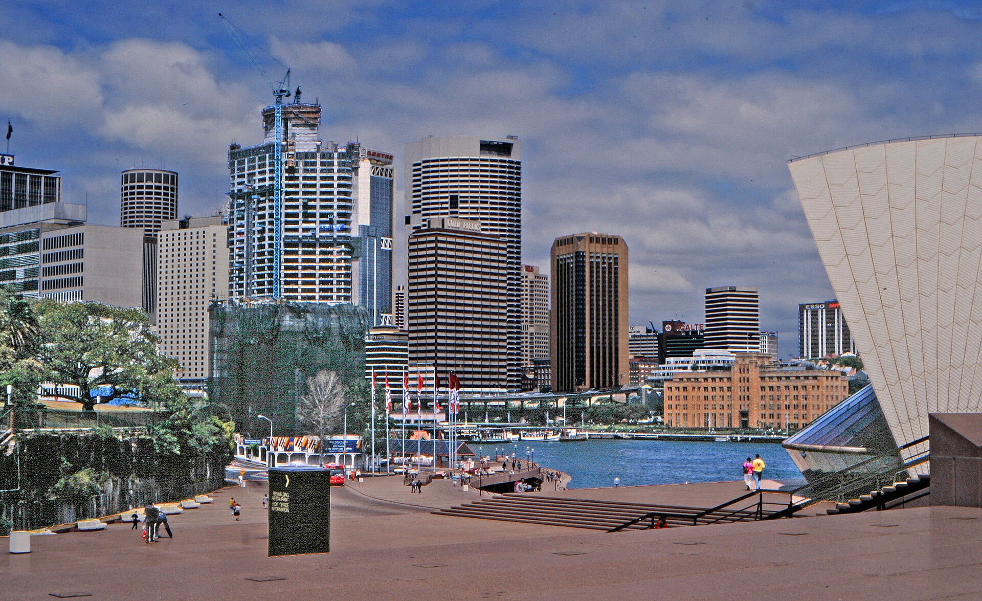
Sydney is divided by a drowned harbour, steep headlands and long coastal corridors. Circular Quay anchors the Opera House, The Rocks and harbour crossings, while the central business district runs south toward Town Hall and Darling Harbour. Bondi and the eastern beaches occupy a different corridor; Manly begins with a harbour crossing. The city's geography makes transport choices part of the sightseeing plan.
Checked 2026-08-26
September · September in Sydney has mean high 21.2°C, mean low 12.0°C, rainfall 70.1 mm, and 8.8 rain days. With no sourced constraint that makes it worse than April, September is rated BEST. It supports a full day of outdoor stops in Sydney.
Ranked by importance — sitelinks, pageviews and heritage status, not editor preference.
14 places match
Category
Typical visit duration
Interests
Hornby Lighthouse is a heritage-listed active lighthouse situated at the southern entrance to Sydney Harbour, on the tip of South Head in Watsons Bay.
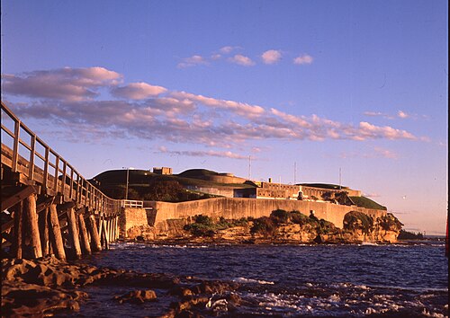
Bare Island Fort is a preserved coastal defence structure on a rocky island in Botany Bay, reached from La Perouse by a narrow causeway. Built in the late nineteenth century, it forms part of Sydney’s military and maritime heritage.
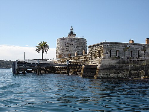
Fort Denison is a heritage-listed former penal site and defensive facility located on a small island in Sydney Harbour, New South Wales.
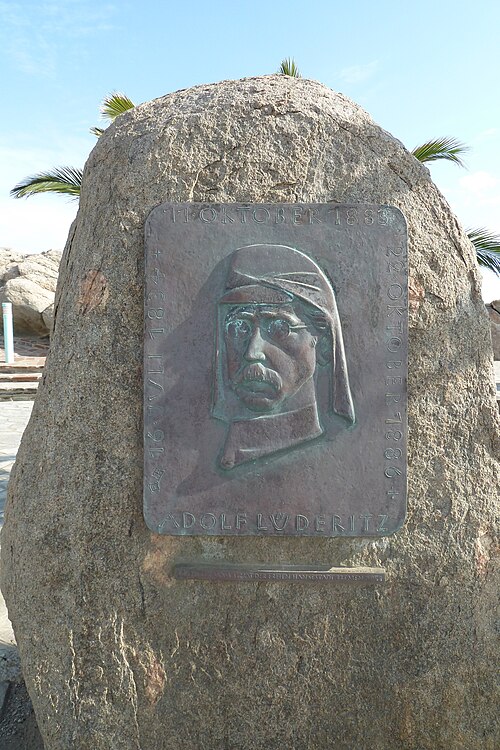
Shark Island is a small harbour island within Sydney Harbour National Park. Its name refers to historical maritime associations, while the visitor experience centres on vegetation, rocky shoreline, picnic areas and views across the harbour.
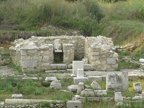
North Head Sanctuary is a protected coastal headland area located at the northern entrance to Sydney Harbour. The site forms part of the traditional lands of the Gayamagal people and holds significant Aboriginal cultural heritage.
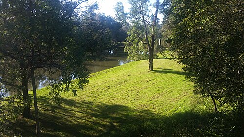
Parramatta Park is a large public park in Parramatta, western Sydney, beside the Parramatta River. It combines open lawns, mature trees, garden areas, walking paths and colonial heritage associations.
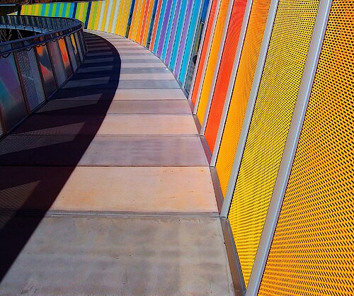
Brickpit Ring Walk
Brickpit Ring Walk is an elevated circular walkway over a former industrial brickpit in Sydney. The route lets visitors look down into the excavated landscape while remaining on a maintained structure above it.
Begin at Circular Quay for the Opera House, The Rocks and the harbour edge, then continue south through the city only if the day's museums fit. Darling Harbour forms a western loop from the central grid. Give Bondi and the eastern beaches their own route, and make Manly a ferry-led outing. The Blue Mountains are a regional rail day, not an addition to a central afternoon.
Checked 2026-08-26
Transport for NSW coordinates metro, trains, buses, ferries and light rail, but each mode answers a different piece of Sydney's geography. Ferries serve harbour destinations, rail handles long urban and regional corridors, and light rail or buses connect areas away from heavy rail. Walk within The Rocks, the central grid or one beach district. Check live service information before relying on a harbour or outer-suburban return.
Checked 2026-08-26
Sydney has no single officially recorded stay length. Cover Circular Quay, The Rocks and the central city first, then budget separate time for an eastern-beaches route, Manly or a regional excursion.
Group the Opera House and The Rocks around Circular Quay. Continue through the central grid to Darling Harbour on another loop, and avoid combining Bondi with Manly merely because both are coastal names.
Choose among metro, train, bus, ferry and light rail according to the corridor. Transport for NSW publishes the current journey and disruption information; harbour crossings should be checked like any other scheduled service.
Circular Quay, The Rocks and much of the central grid connect well on foot. Harbour water, steep approaches and the distance to the beaches prevent the wider destination from becoming one continuous walk.
Manly depends on a harbour crossing, the eastern beaches use a different urban corridor, and the Blue Mountains require a regional journey. Check the final workable return for whichever outward trip is chosen.