
01
1 hour
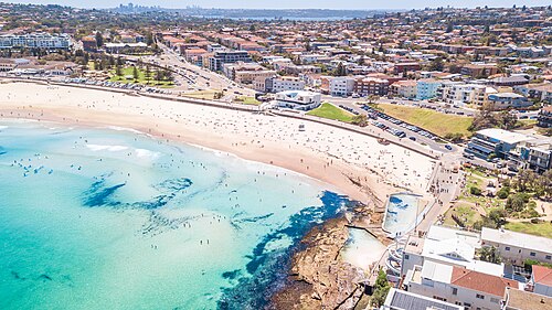
Bondi Beach
Bondi Beach is Sydney’s broad, crescent-shaped Pacific shoreline, where a long sweep of sand meets surf, sandstone headlands and the busy Bondi promenade.
- Must see
- Nature site
Language · 11 published
City guide · Australia
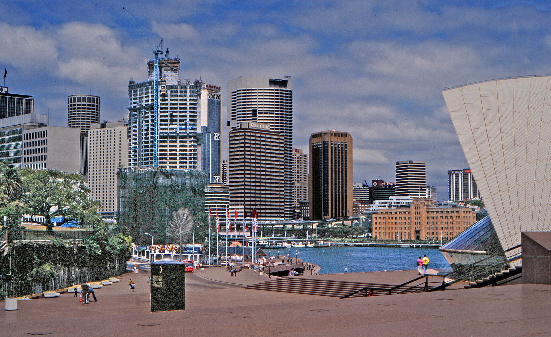
Sydney is divided by a drowned harbour, steep headlands and long coastal corridors. Circular Quay anchors the Opera House, The Rocks and harbour crossings, while the central business district runs south toward Town Hall and Darling Harbour. Bondi and the eastern beaches occupy a different corridor; Manly begins with a harbour crossing. The city's geography makes transport choices part of the sightseeing plan.
Reviewed by Elena Voss · Roavina Travel Editor
Set your days, your pace and the hours you actually want to be out. The planner works around closing days and travel time, and leaves room to eat.
Ranked by importance — sitelinks, pageviews and heritage status, not editor preference.
19 places match
Category
Typical visit duration
Interests
Bondi Beach is Sydney’s broad, crescent-shaped Pacific shoreline, where a long sweep of sand meets surf, sandstone headlands and the busy Bondi promenade.

Royal Botanic Garden
The Royal Botanic Garden Sydney is a major botanical garden occupying a prominent harbourside position in the Sydney central business district.
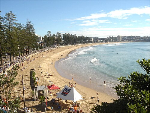
Manly Beach is a broad ocean beach reached through the Manly peninsula, combining surf frontage with a harbour-to-ocean visitor route.
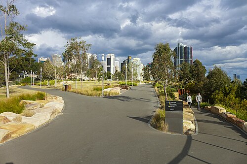
Barangaroo Reserve
Barangaroo Reserve is a landscaped harbour headland built around sandstone terraces, foreshore paths, and views across western Sydney Harbour.
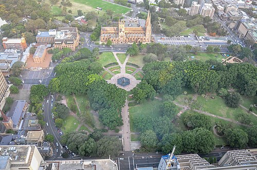
Hyde Park is a 16-hectare public park in the centre of Sydney, stretching between the city’s museum and civic precincts. Governor Macquarie proclaimed and named it in 1810, and the City of Sydney identifies it as Australia’s oldest park.
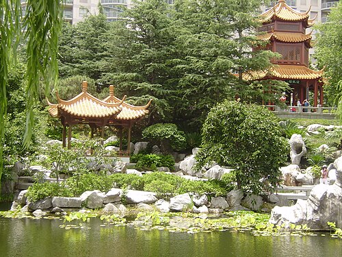
The Chinese Garden of Friendship is a traditional Chinese garden located in Sydney. It was established as a symbol of friendship between Sydney and its sister city in China, Guangzhou.
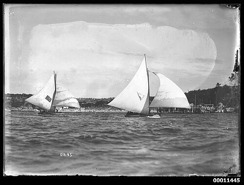
Nielsen Park is a heritage-listed public park situated within Sydney Harbour National Park in the eastern suburbs of Sydney. The park occupies a prominent harbour foreland position in Vaucluse, offering sheltered swimming beaches and picnic grounds.
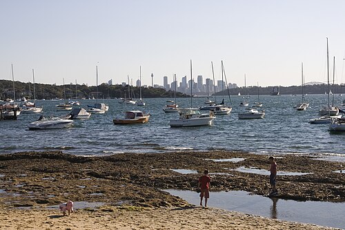
Watsons Bay is a harbourside suburb and visitor destination in eastern Sydney, New South Wales. It sits at the southern head of the entrance to Sydney Harbour, offering views across the water to the North Head.
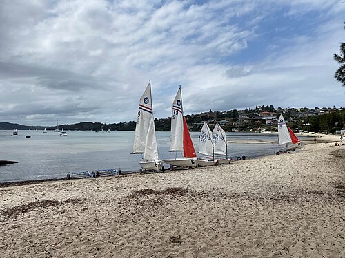
Rose Bay Beach is a harbour beach in Sydney’s eastern suburbs, facing the waters of Port Jackson. It offers a coastal pause within the metropolitan city, with space for swimming, walking, and relaxing beside the harbour.
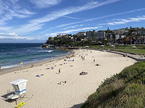
Bronte Beach is a coastal beach within the Sydney metropolitan area, located in the eastern suburbs. It forms part of the sequence of beaches along Sydney's southeastern coastline.
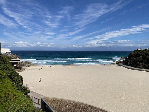
Tamarama Beach is a compact crescent on Sydney’s eastern suburbs coast, positioned between Bondi Beach and Bronte Beach. Steep sandstone headlands press close around the sand, making the Pacific feel immediate and powerful.
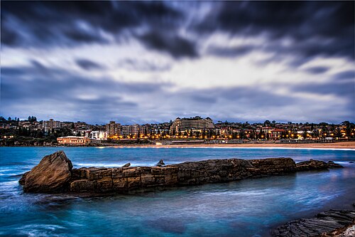
Coogee Beach is a sandy ocean beach in Sydney’s eastern suburbs, facing the Tasman Sea. It is a straightforward place for swimming, sunbathing, shoreline walks and relaxed coastal views.
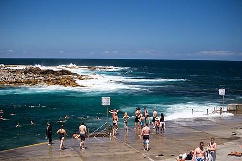
Clovelly Beach is a compact coastal inlet in Sydney’s eastern suburbs. Its narrow, channel-like shape differs from a broad surf beach: concrete platforms and promenades follow rocky edges around the water.
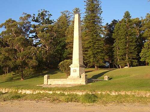
Kamay Botany Bay National Park protects coastal landscapes and culturally significant places around Botany Bay in Sydney. Its two principal visitor areas are Kurnell and La Perouse.
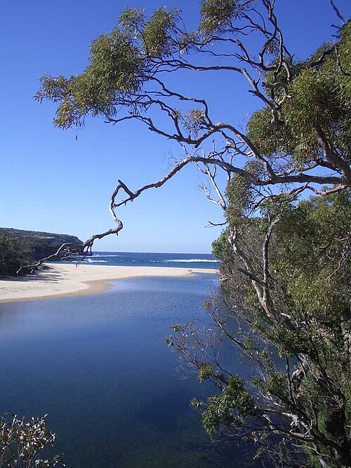
Royal National Park is a large protected landscape on Sydney’s southern edge, stretching between eucalyptus forest, sandstone country, coastal heath and the Pacific shoreline. Established in 1879, it is recognised as one of the world’s oldest national parks.
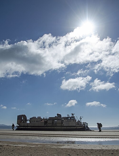
Freshwater Beach is a sandy coastal cove in Sydney’s Northern Beaches, set between two headlands. Its sheltered shape makes it a natural place for swimming, surfing, sunbathing and a relaxed seaside walk.

Palm Beach is a coastal suburb and beach at the northern end of Sydney's Northern Beaches peninsula. A narrow isthmus places the Pacific Ocean on one side and Pittwater on the other, giving the area two contrasting waterfronts.
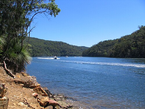
Ku-ring-gai Chase National Park is a protected national park located north of Sydney. It encompasses significant natural landscapes including bushland, waterways, and Aboriginal heritage sites.

Blaxland Riverside Park is a public park situated along the Parramatta River in Sydney. It forms part of the broader Sydney Olympic Park precinct, developed from the site of the 2000 Olympic Games.
Source: OpenStreetMap contributors, Wikidata ·
Begin at Circular Quay for the Opera House, The Rocks and the harbour edge, then continue south through the city only if the day's museums fit. Darling Harbour forms a western loop from the central grid. Give Bondi and the eastern beaches their own route, and make Manly a ferry-led outing. The Blue Mountains are a regional rail day, not an addition to a central afternoon.
Checked 2026-08-26
Transport for NSW coordinates metro, trains, buses, ferries and light rail, but each mode answers a different piece of Sydney's geography. Ferries serve harbour destinations, rail handles long urban and regional corridors, and light rail or buses connect areas away from heavy rail. Walk within The Rocks, the central grid or one beach district. Check live service information before relying on a harbour or outer-suburban return.
Checked 2026-08-26
Sydney has no single officially recorded stay length. Cover Circular Quay, The Rocks and the central city first, then budget separate time for an eastern-beaches route, Manly or a regional excursion.
Group the Opera House and The Rocks around Circular Quay. Continue through the central grid to Darling Harbour on another loop, and avoid combining Bondi with Manly merely because both are coastal names.
Choose among metro, train, bus, ferry and light rail according to the corridor. Transport for NSW publishes the current journey and disruption information; harbour crossings should be checked like any other scheduled service.
Circular Quay, The Rocks and much of the central grid connect well on foot. Harbour water, steep approaches and the distance to the beaches prevent the wider destination from becoming one continuous walk.
Manly depends on a harbour crossing, the eastern beaches use a different urban corridor, and the Blue Mountains require a regional journey. Check the final workable return for whichever outward trip is chosen.