
29 min walk
Praia do Grumari
- Must see
- Nature site
Language · 11 published
Nature site · Rio de Janeiro
Reviewed by Elena Voss · Roavina Travel Editor
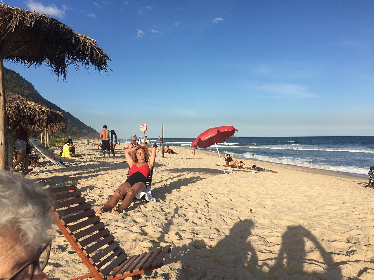
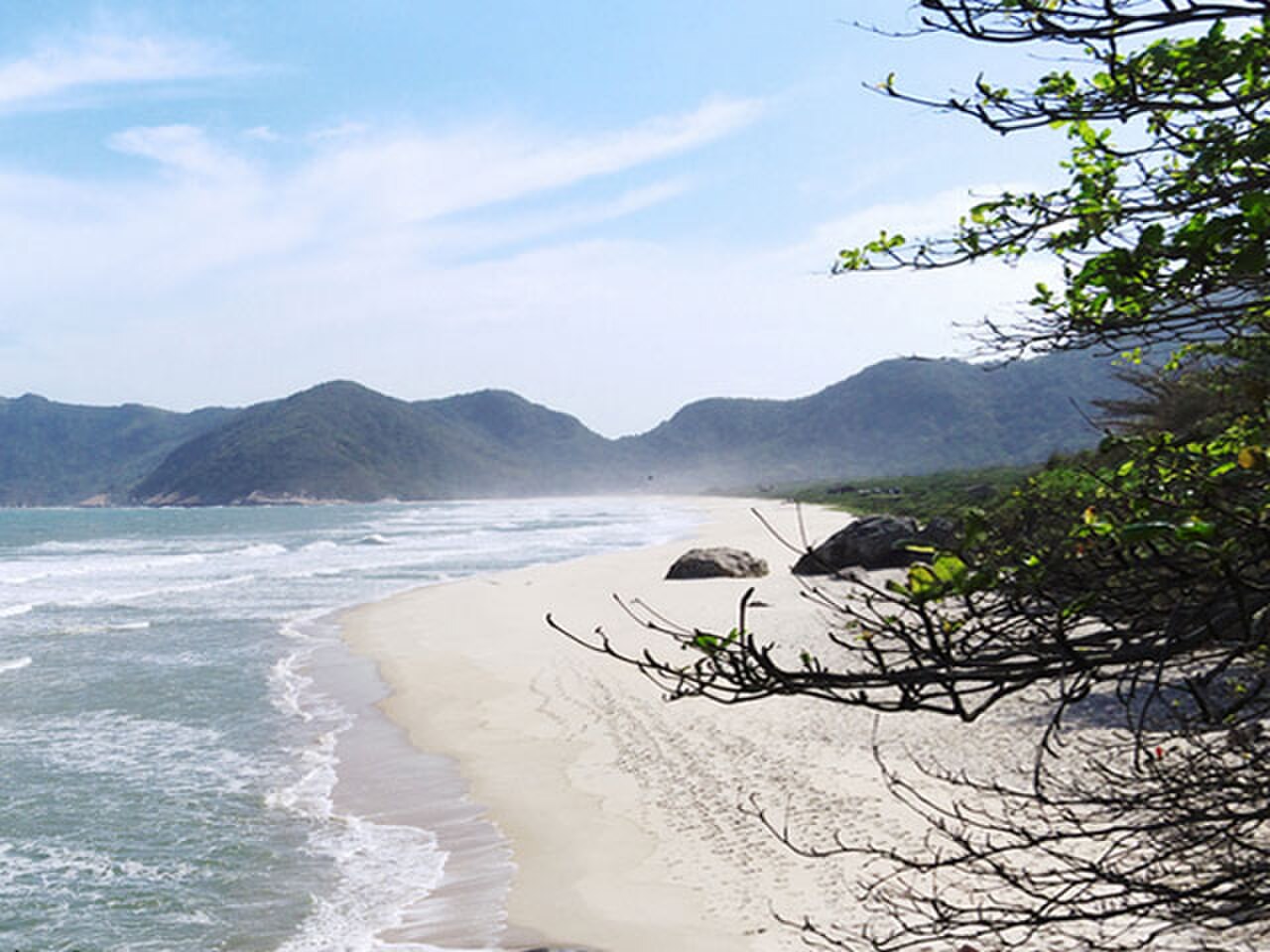
Prainha is a compact crescent-shaped beach in Rio de Janeiro’s far western zone. Atlantic Forest vegetation covers the surrounding hills, giving the cove a distinctly wild setting compared with the city’s built-up waterfront. Reliable surf makes Prainha a prominent destination for surfers, while the sand and forest scenery also attract travelers seeking a quieter coastal excursion. Its protected surroundings help preserve the landscape and limit dense development beside the shore. Prainha is a small beach located in the western zone of Rio de Janeiro, Brazil. It sits within an environmentally protected area, surrounded by dense Atlantic Forest vegetation that forms a dramatic backdrop to the sand and sea. The beach has gained recognition as one of Rio de Janeiro's most celebrated surfing destinations. Its crescent-shaped cove and consistent waves attract surfers from across the region. The natural setting remains relatively undeveloped compared to more urban beaches in the city, preserving a wilder coastal character that distinguishes it from Copacabana or Ipanema. The beach has strong currents and rip tides that present hazards for all swimmers. Beginners should exercise extreme caution and consider whether their abilities match the conditions.
Checked 2026-08-26 · Source
Prainha’s main features are the sandy crescent, forested slopes, ocean horizon, and surf break. The waves concentrate activity in the water, so surfers and beachgoers share a relatively small shoreline. The protected environment keeps the setting more rustic than central Rio beaches, with limited built development directly beside the sand. Come for the combination of Atlantic Forest and ocean rather than for a promenade, extensive retail, or a large choice of services. The beach itself consists of a compact stretch of sand framed by forested hillsides. The Atlantic Forest vegetation extends down to the edges of the beach, creating a green corridor that limits commercial development. Surfers occupy the main break area where waves form reliably.
Checked 2026-08-26 · Source
Reserve a half-day or full day, particularly when traveling from central Rio de Janeiro. The journey to the far western coast takes time, and the beach rewards a relaxed schedule. Surfers may spend several hours in the water, while other visitors can walk the compact shoreline, watch the break, and enjoy the forest backdrop in a shorter stay. Nearby western coastal destinations can be combined if transport and traffic leave enough flexibility.
Checked 2026-08-26 · Source
Early morning is a strong choice for cooler air, softer light, and a quieter shoreline. Southern Hemisphere winter commonly brings larger swells that appeal to experienced surfers, while summer offers warmer water and more variable waves. Weekends and holidays are busier. Rain, mist, and forest moisture can change visibility and comfort. Build time around the road journey, especially when returning during busy periods on the western coastal routes.
Checked 2026-08-26 · Source
The beach is presented as public coastal access, so the visit focuses on reaching the shore rather than passing through a museum-style entrance. Transportation is the principal planned expense for travelers coming from central neighborhoods. Parking or surf-related purchases may create additional costs in the local area. Carry the supplies needed for a remote beach day, including water and sun protection, because the cove has fewer services than Rio’s major urban beaches.
Checked 2026-08-26 · Source
Prainha lies in Rio’s far western zone, reached by roads through Recreio dos Bandeirantes and along the coast. A private vehicle or organized transport gives the most direct control over the journey. The route includes winding stretches and can become congested on the return. Ride-hailing availability may be less convenient from the remote cove. Travelers without a car should plan their outbound and return connections before committing to a long beach stay.
Checked 2026-08-26 · Source
Strong currents and rip tides make the water demanding, while surfers and swimmers share the main break. Watch the sea carefully and keep clear of boards when you are not surfing. The remote setting provides fewer immediate services than central beaches, and phone coverage may vary near the forest. Carry water, sun protection, and secure storage for valuables. Respect the protected landscape, avoid disturbing vegetation, and leave the cove clean.
Checked 2026-08-26 · Source
Prainha offers a compact photographic scene where Atlantic Forest, pale sand, surf, and open ocean meet. Early light can soften the forested slopes and give the cove warm color before midday contrast increases. Surfers add movement and scale, while mist or fog can create atmospheric layers around the hills. Tide level changes the visible sand. Use the short shoreline to explore several viewpoints, and treat the protected setting with care.
Checked 2026-08-26 · Source
Prainha is known for consistent waves and a main break that attracts surfers. The cove’s surf activity is a defining part of its character.
Yes. Prainha is surrounded by Atlantic Forest within an environmentally protected setting, which helps preserve its natural landscape and limits dense development.
Allow a half-day or full day, especially from central Rio. The journey is substantial, and surfers or nature-focused visitors may spend several hours at the cove.
Strong currents and rip tides are important hazards. The surf area also has board traffic, so swimmers should keep distance from surfers and enter only when conditions suit their ability.
Travel through Recreio dos Bandeirantes along the western coastal roads. A private vehicle or organized transport is the most direct option for this remote beach.
Prainha is a small forest-backed cove with a rustic, surf-oriented atmosphere. Copacabana is a dense urban beach with a much larger built environment and more extensive city services.
Loading the interactive map…
The interactive map could not be loaded.

Last updated:
Source: OpenStreetMap contributors, Wikidata ·