
49 min walk
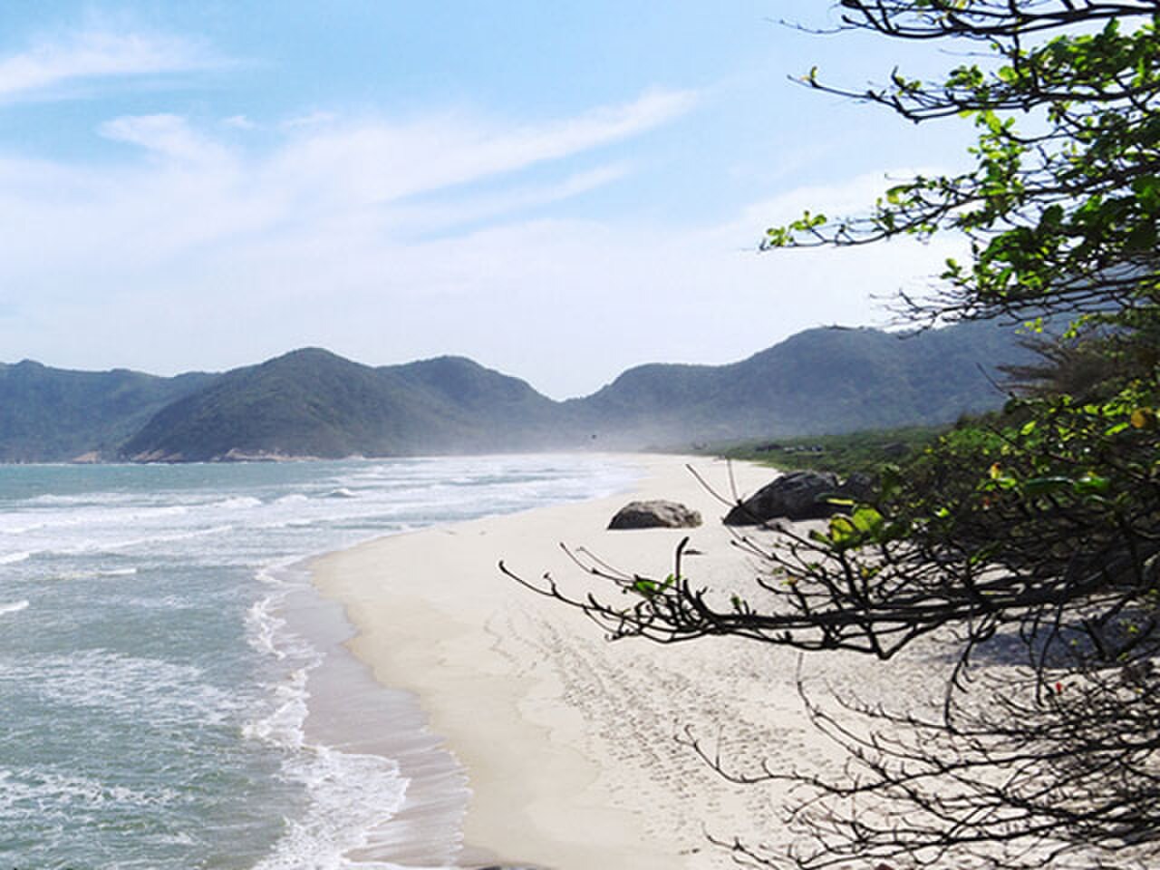
Praia do Grumari
- Must see
- Nature site
Viewpoint · Rio de Janeiro
Pedra do Telégrafo
Pedra do Telégrafo, known in English as Telegraph Rock, is a rocky outcrop in the Guaratiba area of Rio de Janeiro's West Zone. The site takes its name from military communications equipment once installed there. It sits within the Pedra Branca State Park and has become a widely recognised hiking destination. The trail leads through Atlantic Forest terrain to reach the summit area where visitors encounter the famous ledge. The location offers views toward the wild coastline of Rio's western shores, including Restinga da Marambaia and the open ocean beyond Guaratiba. No. The photograph uses forced perspective from a specific camera angle to create an illusion of a dramatic vertical drop. The actual slope is far less severe, though it still presents genuine slip and fall risks.
Checked 2026-08-26 · Source
The main feature is the sloped rock ledge that creates forced-perspective photographs. Visitors position themselves on this angled surface so that, when photographed from specific angles, they appear to be suspended over a dramatic drop. The actual terrain below is far less steep than photographs suggest. Beyond this photographic spot, the summit area provides coastal vistas. The surrounding landscape comprises Atlantic Forest vegetation, exposed rock faces, and open sky. There are no built facilities, interpretive signage, guardrails, or maintained structures at the summit itself. The experience centres on the natural setting and the visual illusion created by camera positioning.
Checked 2026-08-26 · Source
The hike to Telegraph Rock follows a trail of moderate difficulty through forested and rocky terrain. Visitors should allow several hours for the complete experience, including ascent, time at the summit, and descent. Physical conditioning appropriate for uneven, potentially steep terrain is necessary. The path can be muddy following rain. Footwear with solid grip is advisable. Groups often move slowly due to congestion at the photographic spot. Starting early helps avoid peak congestion and afternoon heat, particularly given the exposed nature of the summit area.
Checked 2026-08-26 · Source
The trail lies within a state park, so official access regulations may apply. Visitors should verify current opening times and any entry restrictions before travelling. Weather conditions significantly affect both safety and visibility. Clear skies improve coastal views and photographic results. Rain creates slippery conditions on rock surfaces and muddy trail sections. Morning visits typically offer cooler temperatures and reduced haze. Weekends and holidays draw larger crowds, increasing wait times for photographs.
Checked 2026-08-26 · Source
Visitors should verify whether independent hiking is permitted or whether guided accompaniment is required. Cash may be necessary if fees apply. Visitors should not rely on card payment facilities in this relatively remote area. Any payment requirements should be confirmed through official park channels or verified local tourism information prior to departure.
Checked 2026-08-26 · Source
Telegraph Rock is located in Guaratiba, in Rio de Janeiro's West Zone, distant from the central tourist areas of Copacabana and Ipanema. Public transportation options exist but involve multiple stages and extended travel times. Private vehicle or organised transfer provides more direct access. The final approach involves roads that may be narrow or in variable condition. Signage to the trailhead may be limited. Navigation applications should be used cautiously as remote areas may have incomplete mapping data. Visitors unfamiliar with the region should consider whether guided transport reduces logistical complexity.
Checked 2026-08-26 · Source
The forced-perspective photographs create a dangerous appearance that does not match reality, but the actual slope still presents fall risk. There are no guardrails or safety infrastructure at the ledge. Visitors have reportedly sustained injuries from slipping while posing. Queue management at the photographic spot is informal and can lead to edge crowding. The remote location means emergency response would be delayed. Mobile telephone coverage may be unreliable. Water, sun protection, and adequate supplies must be carried as no services exist at the summit. Trail conditions vary seasonally. Visitors should assess their physical fitness honestly before attempting the hike.
Checked 2026-08-26 · Source
The signature image requires a photographer positioned at a specific angle while the subject adopts poses on the sloped ledge. The illusion depends on eliminating visual reference points that reveal the true angle of the rock. Queueing for this photograph is common and wait times can extend significantly during busy periods. Tripods may be impractical given crowds and terrain. The coastal panorama also offers conventional landscape photography opportunities. Morning light typically illuminates the ocean-facing views favourably. Drone operation would require compliance with Brazilian aviation regulations and any park-specific restrictions. Visitors should remain aware of their physical position while concentrating on camera composition.
Checked 2026-08-26 · Source
No. The photograph uses forced perspective from a specific camera angle to create an illusion of a dramatic vertical drop. The actual slope is far less severe, though it still presents genuine slip and fall risks.
Visitors should verify current regulations through official park channels.
The trail is described as moderate difficulty with uneven, potentially steep terrain through forested and rocky landscape. Appropriate footwear and reasonable physical fitness are necessary.
No. There are no built facilities, guardrails, interpretive signage, or services at the summit. Visitors must carry adequate water, sun protection, and supplies.
The site is in Guaratiba, far from central tourist zones. Public transport is possible but time-consuming with multiple stages. Private vehicle or organised transfer offers more direct access.
The ledge presents real slip and fall risks despite the photographic illusion. There are no guardrails or safety infrastructure. Visitors have reportedly been injured. Cautious judgement is essential.
Loading the interactive map…
The interactive map could not be loaded.

Last updated:
Source: OpenStreetMap contributors, Wikidata ·