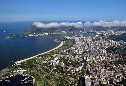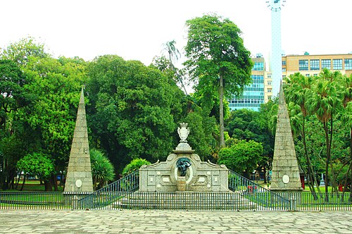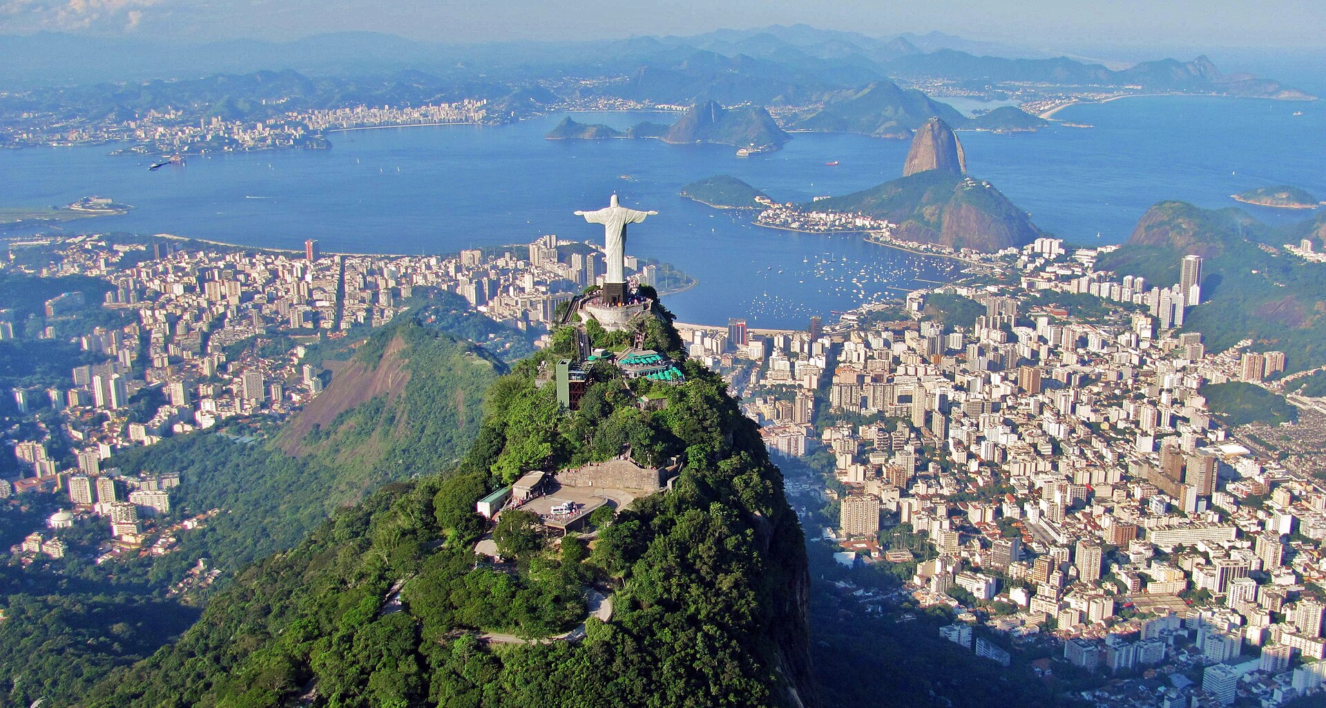
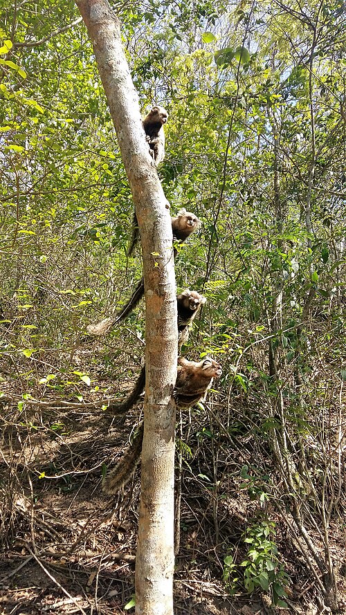
A photograph of Rio de Janeiro

City guide · Brazil

Up to 1 hour in Rio de Janeiro, Brazil — page 3

Rio de Janeiro stretches between mountains, bays and the Atlantic, so its famous sights belong to distinct zones. Centro and the port hold historic and cultural...

Photograph · Rafael Rabello de Barros · CC BY-SA 3.0

7,115 Places
Suggested stay
Not recorded
Getting around
Metro, VLT, bus, ferry and taxi

Turn this list into a plan

Set your days, your pace and the hours you actually want to be out. The planner works around closing days and travel time, and leaves room to eat.

Plan Rio de Janeiro

Reviewed by Elena Voss · Roavina Travel Editor

Rio de Janeiro stretches between mountains, bays and the Atlantic, so its famous sights belong to distinct zones. Centro and the port hold historic and cultural institutions; Santa Teresa and Lapa rise beside them; Botafogo and Urca lead toward Sugarloaf; and Copacabana, Ipanema and Leblon form the southern beach corridor. Tijuca Forest and western beaches require separate journeys. Grouping each day by zone avoids repeated cross-city travel.

Checked 2026-08-26

Practical information

Language spoken
Portuguese
National practical orientation; regional and minority languages may also be used
Dialling code
+55
International calling code; local area and mobile prefixes still apply
Currency
Brazilian real (BRL)
Use the official local currency; card acceptance varies by place
Emergency number
190 police · 192 ambulance · 193 fire
Use only for an emergency; tourist assistance may use a separate number
Plug type
Type N · 127 or 220 V by location
Check that chargers support the recorded voltage before using an adapter
Tap water
Not recorded
Voltage and water guidance must be checked for the destination

Planning a visit

September · September stays mild in Rio de Janeiro at a 25.0°C mean high, but rain increases to 87.1 mm over nine days.

  1. January: viable with meaningful trade-offs
  2. February: viable with meaningful trade-offs
  3. March: viable with meaningful trade-offs
  4. April: good time to visit
  5. May: best time to visit
  6. June: best time to visit
  7. July: best time to visit
  8. August: best time to visit
  9. September: good time to visit — current month
  10. October: good time to visit
  11. November: viable with meaningful trade-offs
  12. December: viable with meaningful trade-offs

Sources

Top things to see

Ranked by importance — sitelinks, pageviews and heritage status, not editor preference.

  1. Morro de Guaratiba Morro de Guaratiba
    32 20 min

    Morro de Guaratiba

    Pedra do Telégrafo

    Pedra do Telégrafo, known in English as Telegraph Rock, is a rocky outcrop in the Guaratiba area of Rio de Janeiro's West Zone. The site takes its name from military communications equipment once installed there.

    • Must see
    • Viewpoint
  2. Bosque da Barra Bosque da Barra
    33 1 hour

    Bosque da Barra

    Parque Natural Municipal Bosque da Barra

    Barra Woods, or Bosque da Barra, is a restinga park in Rio de Janeiro’s West Zone. It preserves native coastal vegetation on sandy ground within the rapidly developing Barra da Tijuca area.

    • Must see
    • Nature site
  3. Quinta da Boa Vista Quinta da Boa Vista
    34 1 hour

    Quinta da Boa Vista

    Quinta da Boa Vista is a large historic public park in Rio de Janeiro, occupying former imperial grounds associated with the Portuguese royal family and the Brazilian imperial family.

    • Must see
    • Nature site
  4. Flamengo Park Flamengo Park
    35 1 hour

    Flamengo Park

    Aterro do Flamengo

    Flamengo Park, known locally as Parque do Flamengo, is a vast bayfront landscape in Rio de Janeiro designed by Roberto Burle Marx. The park stretches along Guanabara Bay, connecting multiple districts through green space.

    • Must see
    • Nature site
  5. Igreja de Nossa Senhora da Glória do Outeiro Igreja de Nossa Senhora da Glória do Outeiro
    36 30 min

    Igreja de Nossa Senhora da Glória do Outeiro

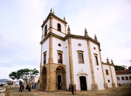
    The Church of Our Lady of Glory of the Outeiro is an octagonal colonial church perched on a hill in Rio de Janeiro. Its distinctive geometric form sets it apart from typical Brazilian colonial religious architecture.

    • High
    • Place of worship
  6. Igreja de Nossa Senhora da Penha Igreja de Nossa Senhora da Penha
    37 45 min

    Igreja de Nossa Senhora da Penha

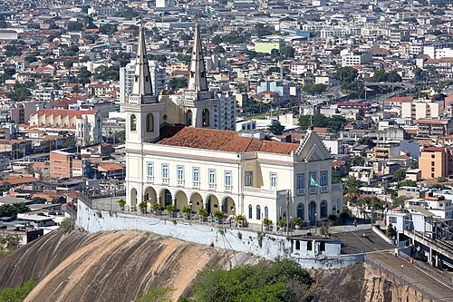
    Penha Church, formally Igreja de Nossa Senhora da Penha, is a Catholic pilgrimage sanctuary on a granite outcrop in Rio de Janeiro’s Penha neighborhood. Its defining feature is the long ceremonial staircase leading up to the church.

    • High
    • Historic monument
  7. Church of the Third Order of Saint Francis of Penitence Church of the Third Order of Saint Francis of Penitence
    38 30 min

    Church of the Third Order of Saint Francis of Penitence

    Igreja da Ordem Terceira de São Francisco da Penitência

    The Church of the Third Order of Saint Francis of Penitence stands on Santo Antônio hill at Largo da Carioca in central Rio de Janeiro.

    • High
    • Place of worship
  8. Campo de Santana Campo de Santana
    39 1 hour

    Campo de Santana

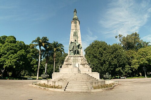
    Campo de Santana is a historic public park in central Rio de Janeiro. The green space has served as a civic setting through major phases of Brazilian history and remains an important pause within the dense downtown fabric.

    • High
    • Nature site
  9. Passeio Público Passeio Público
    40 1 hour

    Passeio Público

    Passeio Público, represented here as Public Promenade, is a historic public park in central Rio de Janeiro.

    • High
    • Nature site

Source: OpenStreetMap contributors, Wikidata ·

How the city is laid out

Centro, Praça Mauá and the Olympic Boulevard form the main museum and historic cluster. Lapa and Santa Teresa sit nearby but involve hills and different transport. Urca and Botafogo make a natural Sugarloaf day, while Copacabana, Ipanema, Arpoador and Leblon form one coastal sequence. Corcovado and Tijuca Forest need dedicated connections. Barra, Recreio and Prainha are much farther west than the South Zone beaches.

Checked 2026-08-26

Getting around

Metro lines serve Centro and much of the South Zone, while VLT trams circulate through central and port areas. Buses, taxis, ferries and attraction-specific rail or van services complete the network. Hills, tunnels and water make straight-line distances misleading, so consult the official tourist map before combining districts. Use authorised access for Corcovado and other controlled attractions rather than assuming a normal city bus reaches the entrance.

Checked 2026-08-26

Common questions

How is Rio de Janeiro organised for sightseeing?

Centro, the South Zone beaches, Urca, Tijuca and western Rio are distinct travel zones

How many days should I spend in Rio de Janeiro?

No fixed stay length is recorded; add time according to the zones and major attractions selected.

What is the easiest way to get around Rio de Janeiro?

Metro and VLT cover useful corridors, with buses, ferries, taxis and attraction access completing journeys.

Which places need a separate trip from central Rio de Janeiro?

Copacabana, Ipanema, Arpoador and Leblon form a practical coastal sequence.

What is the most practical way to plan a day in Rio de Janeiro?

Barra and the western beaches are far from Centro and need a separate travel block.