


101 min walk
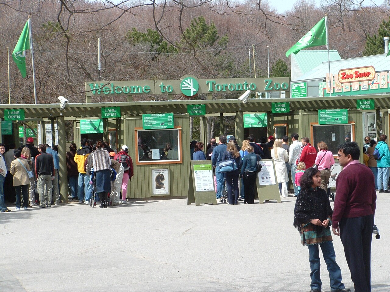
Toronto Zoo
- Must see
- Family attraction
Nature site · Toronto
| Per person | Free entry |
|---|
Checked 2026-10-07 · Source

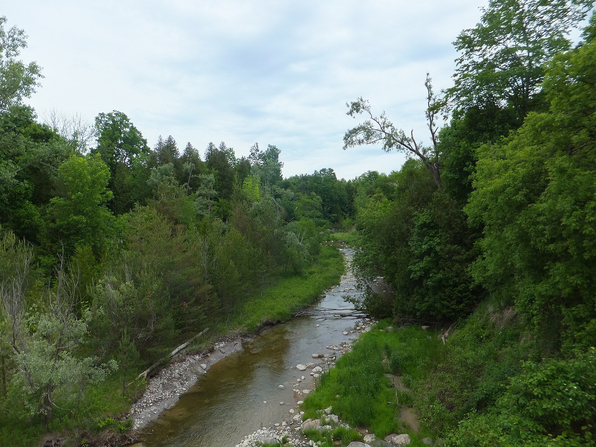
Rouge National Urban Park is a Parks Canada landscape within the Greater Toronto Area rather than one gate or single garden. It brings together forests, creeks, active farms, wetlands, trails and the Lake Ontario edge across several municipalities. Parks Canada says the area has a human history spanning 10,000 years; Indigenous connections remain part of the park's story. For a first visit, the useful unit is one named trailhead and its route, not the entire boundary shown on a map. The park is open to the public throughout the year, while access to particular sites can change. Check current bulletins before following an older map to a beach or day-use area.
Checked 2026-10-07 · Source

Rouge National Urban Park is a set of distinct landscapes and trailheads, not one compact garden. Parks Canada maps forests, fields, wetlands, river valleys and the Lake Ontario edge across Toronto, Markham, Pickering and Uxbridge. For a first walk, the Mast Trail begins at Glen Rouge Day Use Area and crosses a wooded ridge toward Twyn Rivers Drive. The Vista Trail has a two-level lookout over the Rouge and Little Rouge valleys. Other routes include the easier Woodland Trail and longer walks through farmland and restored habitats. Rouge Beach and Marsh appear on older maps, but Parks Canada currently marks that area closed for construction; do not build a visit around beach access.
Checked 2026-10-07 · Source
Allow around two hours for one chosen trail and its return, not for the whole national urban park. This is an editorial itinerary estimate. Parks Canada lists the Mast Trail at about an hour in one direction; it has steep sections and stairs. The Vista Trail is 1.5 kilometres one way and about an hour, with a lookout as the main pause. Those one-way times are not a complete out-and-back visit. Add time for a viewpoint, children, wet ground or a different exit, and check the map before assuming two named trails connect into a short loop.
Checked 2026-10-07 · Source
Rouge National Urban Park is open year-round, but choose a trail and check conditions for the date you go. Parks Canada identifies late September to mid-October as its fall-colour period; the Vista lookout is a clear objective then. A seasonal display is not a guarantee of colour on a particular day. In winter, park trails are not maintained for snow or ice, so footwear and pace matter. The operator also reports temporary closures and weather-related parking changes. Its day-use parking lots are locked at 21:00 and generally reopen by 07:30; these are parking times, not a park-wide opening schedule.
Checked 2026-10-07 · Source
Parks Canada states that Rouge National Urban Park is free and open to the public year-round. A normal walk on an open trail therefore needs no general park admission ticket. That statement does not override a closure or establish the price of a separate activity. Check the operator for any programme or camping arrangement you plan to use. The Mast Trail page describes its own parking as free but very limited; do not assume every lot has identical conditions. Parks Canada also offers free guided walks, but their schedule may change. This guide records free general park access, while leaving unverified service or reservation prices out.
Checked 2026-10-07 · Source
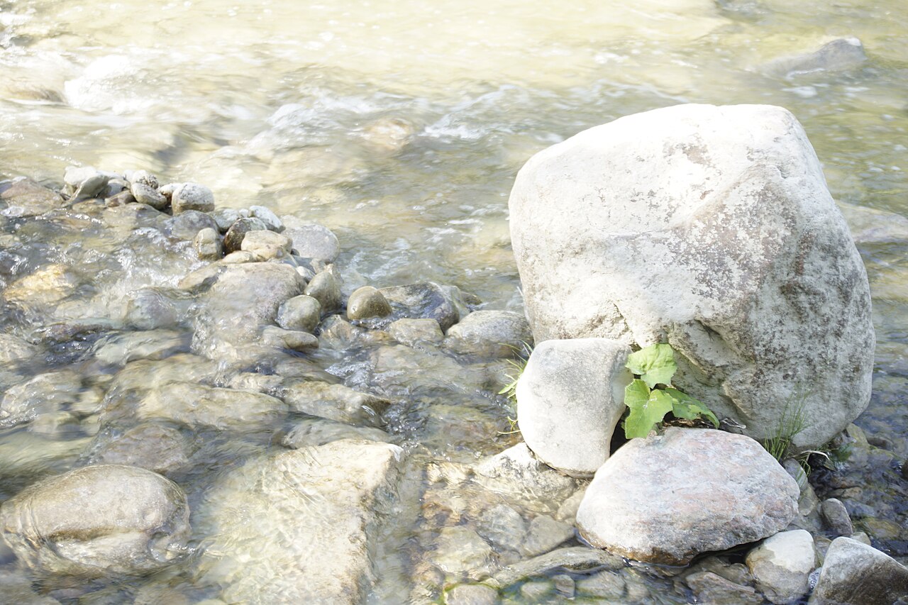
Navigate to a named day-use area or trailhead, not the centre point of this sprawling park. For the Mast Trail, Parks Canada gives Glen Rouge Day Use Area at 7450 Kingston Road as the south trailhead. For Vista Trail, the currently usable south trailhead is at Twyn Rivers Drive; Parks Canada describes access to that day-use area from the Pickering side off Altona Road. Its north trailhead at Zoo Road is closed. The operator lists several Toronto and Markham entry areas and says travel by public transport is possible, but the final walking connection depends on the trailhead. Check current road, parking and transit details for the exact entrance you choose.
Checked 2026-10-07 · Source
Two familiar names are currently poor arrival targets: Zoo Road Day Use Area is closed for visitor-centre construction, and Rouge Beach and Marsh are closed for improvement works. The north end of Vista Trail cannot be entered through Zoo Road; use the posted south approach if that trail is your goal. Parks Canada says day-use parking lots are locked at 21:00, and inclement weather can close them sooner. Stay on marked trails, take food and water because trailheads have limited amenities, and expect unmaintained ice or snow in winter. Read the operator's important bulletins just before departure; closure boundaries can change.
Checked 2026-10-07 · Source
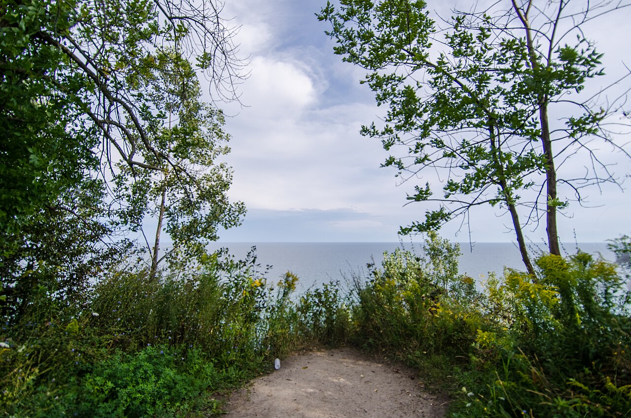
For a planned valley photograph, the Vista Trail's two-level viewing platform is a specific destination. Parks Canada describes views over Rouge River and Little Rouge Creek valleys from there, with autumn colour as a seasonal subject. Reach it from the south while Zoo Road and the north trailhead are closed. The Mast Trail gives a different image: a forested ridge and staircase rather than the same broad lookout. Photograph from the designated path and platform, leaving room for other walkers. Do not head to Rouge Beach or the marsh for a water scene while their construction closure remains in force; check the operator bulletin before travelling.
Checked 2026-10-07 · Source
No. Parks Canada places its entry areas across Toronto, Markham, Pickering and Uxbridge. Pick a trailhead rather than navigating to one park-centre pin.
About two hours is an editorial estimate for one chosen trail and the return. Parks Canada gives the Mast and Vista trails roughly one hour each way; add time for conditions and stops.
No. Parks Canada currently lists Rouge Beach and Marsh as closed for construction. Check its latest project notice before making a future beach plan.
No. Zoo Road Day Use Area and the north Vista trailhead are closed. Parks Canada points visitors to the south trailhead at Twyn Rivers Drive; check current access before leaving.
Parks Canada says the listed day-use lots are locked at 21:00 and generally reopen by 07:30. Weather can change access; remove your vehicle well before closing.
Choose Glen Rouge Day Use Area for the wooded Mast Trail, or the south Twyn Rivers access for Vista Trail and its two-level lookout. Check distance and grade before choosing.
Yes. Parks Canada says the park is free and open to the public year-round. Closed areas remain off-limits, and separate activities may have their own conditions.
Loading the interactive map…
The interactive map could not be loaded.

Last updated:
Source: OpenStreetMap contributors, Wikidata ·