
7 min walk
Vancouver Aquarium
- Must see
- Family attraction
Language · 11 published
Nature site · Vancouver
Reviewed by Elena Voss · Roavina Travel Editor
| Monday | 06:00 – 22:00 |
|---|---|
| Tuesday | 06:00 – 22:00 |
| Wednesday | 06:00 – 22:00 |
| Thursday | 06:00 – 22:00 |
| Friday | 06:00 – 22:00 |
| Saturday | 06:00 – 22:00 |
| Sunday | 06:00 – 22:00 |
Checked 2026-08-31 · Source
Read from the OpenStreetMap access tags; anything not listed has no tag recorded.
Set the group type to family in the planner and the day window contracts to about three quarters of a solo day.
This place is a Park. It was established in 1888. It carries the national historic site of Canada heritage designation.
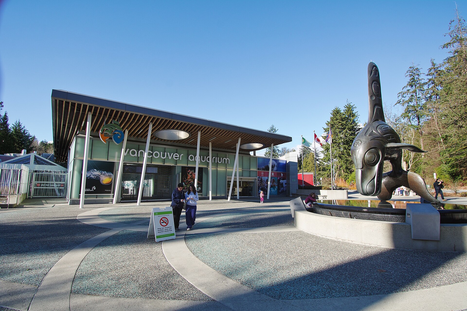
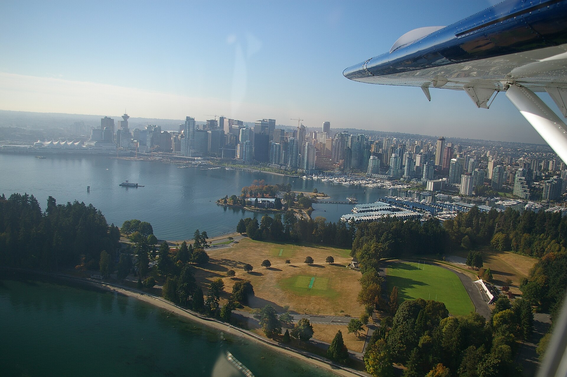
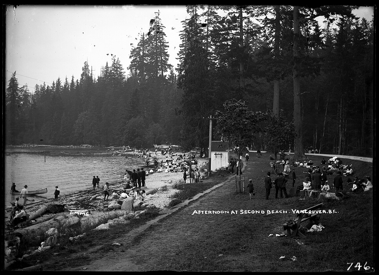
Stanley Park is a 405-hectare forested peninsula beside downtown Vancouver, where towering coastal trees meet the waters of Burrard Inlet, English Bay, and the First Narrows. Its identity is defined by the seawall, but the park is more than a waterfront promenade: roads, woodland trails, beaches, viewpoints, gardens, and cultural sites create a broad landscape to explore. The Brockton Point Totem Poles provide a major landmark, while the Vancouver Aquarium is a separate attraction within the park. This is a place for moving through varied coastal scenery, not a single indoor exhibit.
Checked 2026-09-02 · Source
The park’s main experiences unfold outdoors. Follow a section of the seawall for harbour, inlet, and mountain views, then turn inland onto forest paths where the atmosphere changes quickly from open shoreline to shaded woodland. Depending on time, add beaches such as Third Beach, viewpoints, gardens, the Brockton Point Totem Poles, and the park’s road-and-trail network. The Vancouver Aquarium is located inside Stanley Park but operates as a distinct attraction with its own admission and visitor arrangements. Plan the park as a connected landscape and select a route rather than attempting every feature. This approach leaves room for pauses, interpretation, wildlife observation, and changing coastal weather.
Checked 2026-09-02 · Source
A focused Stanley Park visit can fit into about 75 to 100 minutes if you choose one representative stretch of seawall, a short forest section, and one landmark. Allow substantially longer for a full seawall outing, beach time, photographs, or a visit to the Vancouver Aquarium. The park’s apparent proximity on a map can be misleading because the peninsula spreads across a large area and routes curve around water and wooded terrain. Add time for orientation, slower walking, cycling traffic, rests, and the transfer between the selected entrance, trailhead, and next stop. Families and photographers should build in additional pauses rather than rushing between distant points.
Checked 2026-09-02 · Source
The recorded park schedule is 06:00–22:00 every day, giving outdoor plans a wide daylight and evening window. Daylight is the practical choice for forest paths, shoreline views, photographs, and reading cultural interpretation. Weather can change the experience quickly on the exposed seawall, while wet conditions may make wooded routes feel slower and less comfortable. If the Vancouver Aquarium or another managed facility is part of the plan, check that attraction’s own schedule separately; the park’s hours do not establish the hours of every place inside it. Early starts can also make the seawall calmer and improve the chance of an unhurried route.
Checked 2026-09-02 · Source
Entry to Stanley Park itself is recorded as free per person. That covers access to the public park landscape, not every activity or separately operated venue within its boundaries. The Vancouver Aquarium, for example, is a distinct attraction and may require its own admission, while tours, programmes, parking arrangements, or special events can have separate terms. Keep those components separate when budgeting and verify their operator-published conditions before committing to a timed itinerary. Free park entry therefore does not mean that every landmark, service, or organised experience inside the peninsula is free.
Checked 2026-09-02 · Source
Approach from Vancouver’s West End or Coal Harbour side according to the route you want to follow. The park is too large for a single centre-point arrival to describe the final connection: choose the entrance, seawall access, beach, totem-pole area, or aquarium as the actual destination. Walking, cycling, buses, and central Vancouver connections can all be useful, but allow time for crossings, queues, weather, and locating the right trailhead. Pairing the visit with English Bay Beach, Third Beach, or the Brockton Point Totem Poles works best when the sequence follows the peninsula’s geography. Check the return route before entering a quieter wooded section, especially late in the day.
Checked 2026-09-02 · Source
Stanley Park combines long distances, shared paths, roads, wooded sections, exposed shoreline, and busy visitor landmarks. Cyclists and pedestrians may use adjacent or overlapping circulation routes, so follow signs and give moving traffic room. The limited step-free rating in the park map means route choice matters for visitors avoiding stairs or steep changes; confirm the specific path before setting out. Carry water, protect valuables in crowded areas, and keep a weather-ready layer available. Obey barriers, temporary closures, posted beach or water guidance, and staff instructions at managed facilities. Do not treat the park-wide amenity record as proof that every route, toilet, or shoreline access point has identical conditions.
Checked 2026-09-02 · Source
Stanley Park offers a varied photographic sequence: close forest textures, the seawall’s changing curves, harbour traffic, mountain views, beaches, and the Brockton Point Totem Poles. Start with a wide frame that establishes the peninsula’s relationship to downtown and the water, then move inland for the contrast between open exposure and shaded trees. Follow posted rules and instructions wherever a managed site or cultural landmark has its own restrictions. Photograph cultural displays respectfully, leaving room for other visitors and avoiding obstructed circulation.
Checked 2026-09-02 · Source
Stanley Park combines a seawall and open harbour edges with a large coastal forest, beaches, inland paths, viewpoints, and cultural landmarks. The experience changes as you move between exposed shoreline and shaded woodland, so the park is best understood as a landscape route rather than one isolated attraction.
Allow about 75 to 100 minutes for a focused route using a representative seawall section, a short forest path, and one landmark. Plan longer for beaches, extensive seawall time, cycling, photography, or the separate Vancouver Aquarium visit; the peninsula’s scale makes map distance easy to underestimate.
The supplied City of Vancouver record lists 06:00 to 22:00 every day. These hours describe the park itself. The Vancouver Aquarium and other managed facilities within or beside the park can have separate schedules, so check each operator when a timed visit matters.
The supplied City of Vancouver record lists entry to Stanley Park as free per person. Separate attractions, tours, programmes, parking arrangements, and special events may charge independently; treat those as different purchases and verify their own operator terms before planning around them.
Choose the West End or Coal Harbour side according to the route, then set the destination to the actual entrance, seawall access, beach, Brockton Point Totem Poles, or aquarium. Because the park is extensive, allow extra time for the final approach, crossings, weather, and finding the correct trailhead.
The supplied Stanley Park map and guide records step-free access as limited. Choose the exact route before departure and check its surface, stairs, slopes, and current conditions rather than treating the park-wide rating as a promise that every seawall or forest connection is step-free.
Loading the interactive map…
The interactive map could not be loaded.
Last updated:
Source: OpenStreetMap contributors, Wikidata ·