Stanley Park
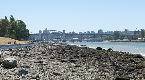
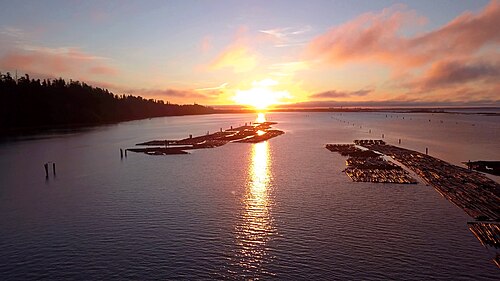
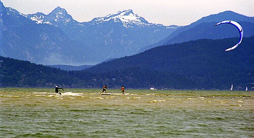
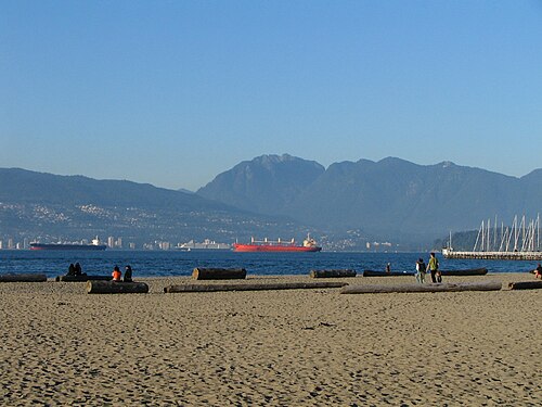
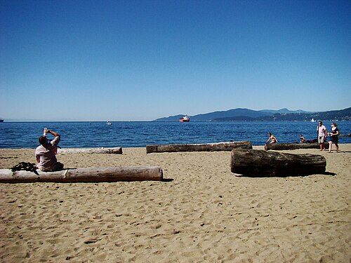
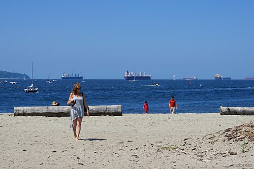
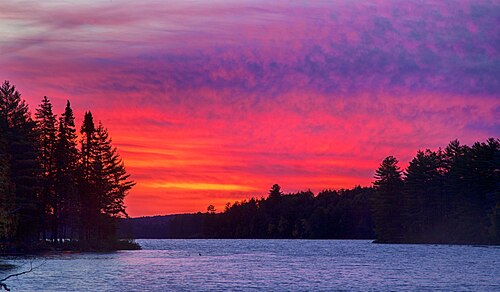
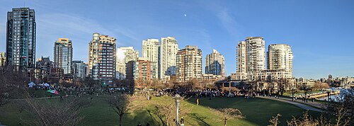
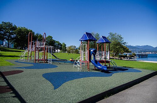
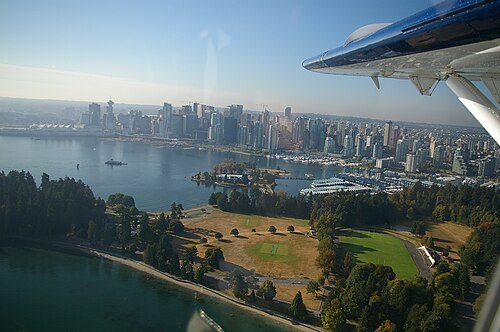
Stanley Park is a 405-hectare forested peninsula beside downtown Vancouver, where towering coastal trees meet the waters of Burrard Inlet, English Bay, and the First Narrows.
- Must see
- Nature site
Language · 11 published
City guide · Canada
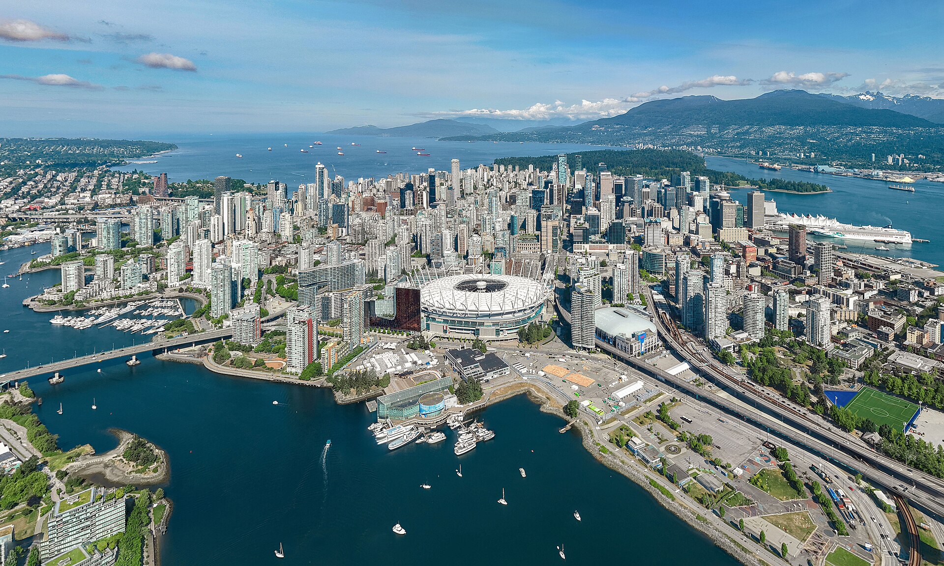
Vancouver is a compact waterfront core surrounded by distinct neighbourhoods, parks and mountains. Downtown contains the central business district, West End, Coal Harbour and Yaletown; Stanley Park forms its western edge. Gastown and Chinatown sit east, while False Creek separates downtown from Granville Island, Kitsilano and Mount Pleasant. North Vancouver is across Burrard Inlet and belongs to the wider visitor geography rather than the downtown walking grid.
Reviewed by Elena Voss · Roavina Travel Editor
Set your days, your pace and the hours you actually want to be out. The planner works around closing days and travel time, and leaves room to eat.
Ranked by importance — sitelinks, pageviews and heritage status, not editor preference.
54 places match
Category
Typical visit duration
Interests
Stanley Park is a 405-hectare forested peninsula beside downtown Vancouver, where towering coastal trees meet the waters of Burrard Inlet, English Bay, and the First Narrows.
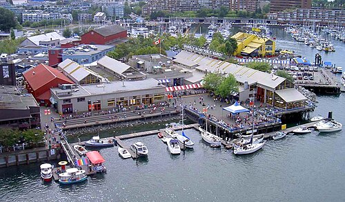
Granville Island is a peninsula and shopping district in Vancouver, British Columbia, located across False Creek from downtown. Despite its name, it is not a true island but a sandspit.
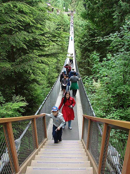
Capilano Suspension Bridge Park is a paid-entry outdoor attraction on Vancouver's North Shore, centered on a long suspension bridge spanning a forested canyon. The park occupies a steep rainforest setting above the Capilano River.
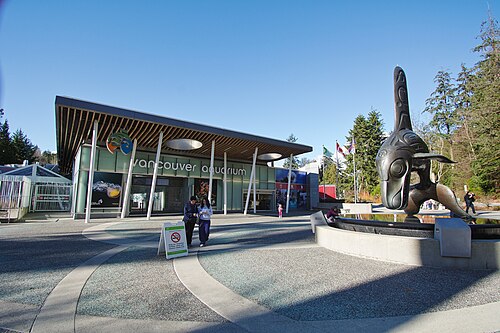
Vancouver Aquarium is a marine-science aquarium in Stanley Park with a distinct Pacific-coast focus. Its defining visit is built around observing living marine habitats while connecting those encounters to conservation work.
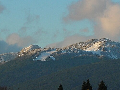
Grouse Mountain is a prominent peak on Vancouver's North Shore, rising above the city with a summit accessible by aerial tramway.
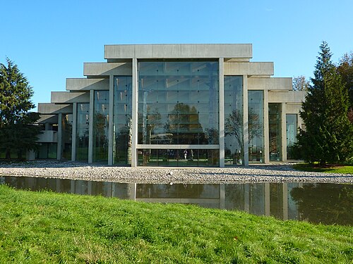
The Museum of Anthropology at UBC is a museum of world arts and cultures with a particular focus on the First Nations of the Pacific Northwest.
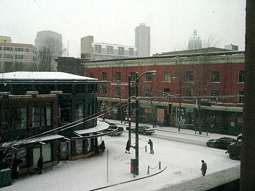
Gastown is Vancouver's oldest neighbourhood, established in 1867 and designated a National Historic Site of Canada. The district centres on Water Street and retains Victorian-era architecture alongside commercial development.
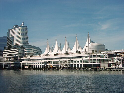
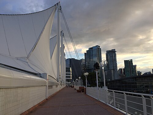
Canada Place is Vancouver’s sail-roofed landmark on Burrard Inlet, recognised by five white roof sails that echo a ship in harbour.
Vancouver Art Gallery is a downtown museum whose programme places British Columbia and other regional perspectives in conversation with international art.
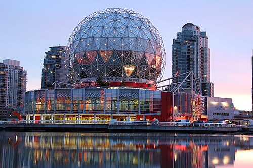
Science World is Vancouver’s hands-on science centre beneath a geodesic dome at the eastern end of False Creek.
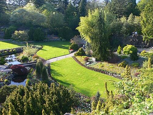
Queen Elizabeth Park occupies the summit of Vancouver’s highest point, but its character is shaped by what happened beneath that summit: a former basalt quarry was transformed into terraces, rock walls, winding paths, and intensely planted gardens.
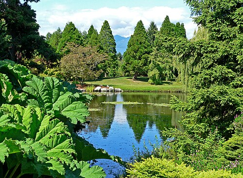
VanDusen Botanical Garden is a cultivated Vancouver landscape where living plant collections are experienced through movement.
Doctor Sun Yat-Sen Classical Chinese Garden
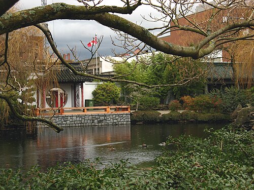
Dr. Sun Yat-Sen Classical Chinese Garden is a purpose-built classical Chinese scholar’s garden in Vancouver’s Chinatown, where carefully framed views connect architecture, rock, water, planting and movement.
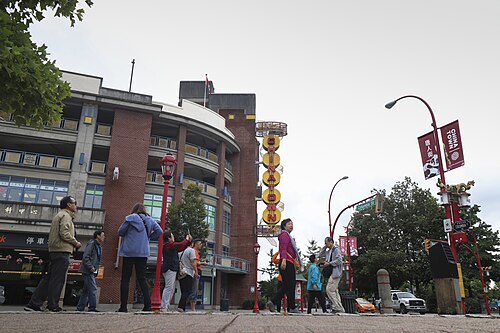
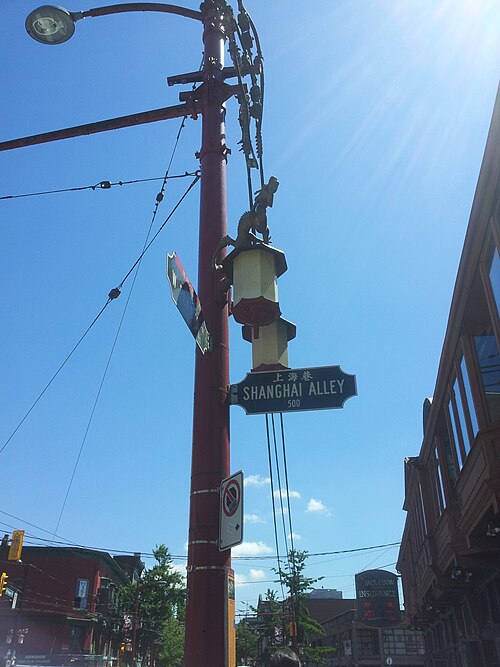
Vancouver Chinatown is one of North America's largest historic Chinatowns, established in the late nineteenth century. It sits east of downtown Vancouver, centred around Pender Street and Main Street.
English Bay Beach
English Bay Beach is a sandy urban shoreline on Vancouver’s West End, opening directly onto English Bay and the seawall.
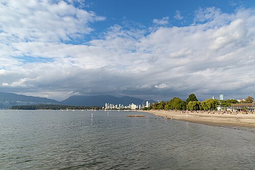
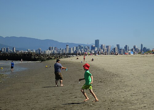
Kitsilano Beach is a broad sandy waterfront in Vancouver’s Kitsilano neighbourhood, facing English Bay with downtown Vancouver and the North Shore mountains visible across the water.
Harbour Centre Lookout Tower
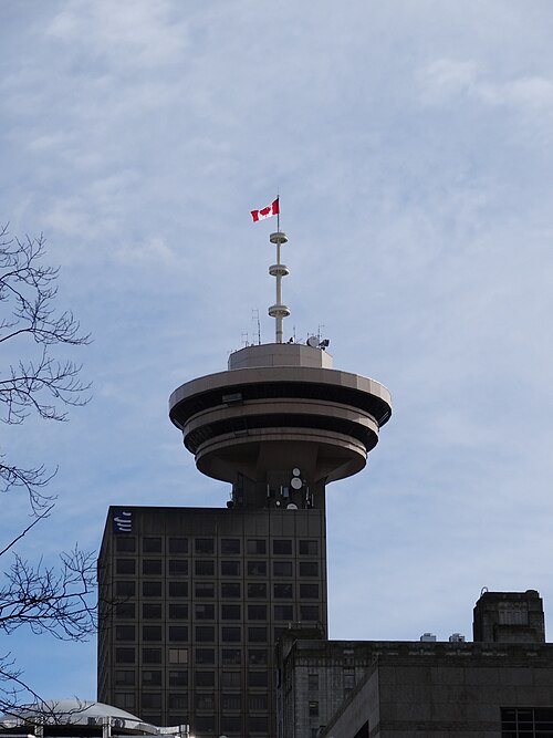
Vancouver Lookout is an elevated observation deck at Harbour Centre in downtown Vancouver. A glass elevator carries visitors up to a circular viewing level with views in every direction.
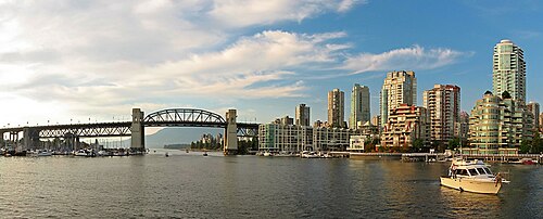
False Creek is a short inlet in the heart of Vancouver, British Columbia, separating downtown from the rest of the city to the south.
Yaletown is a converted warehouse district on the southern edge of downtown Vancouver. Formerly an industrial rail yard and warehousing area, the neighbourhood has been redeveloped into a dining, design, and waterfront destination.
Robson Street is Vancouver's principal central shopping and visitor thoroughfare, stretching through the downtown core.
FlyOver Canada is a flight-simulation attraction located at Canada Place in downtown Vancouver. The experience uses suspended seating and a large spherical screen to create the sensation of flying over Canadian landscapes.
The Bill Reid Gallery of Northwest Coast Art is a downtown Vancouver institution dedicated to contemporary Indigenous art of the Northwest Coast.
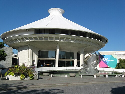
The Museum of Vancouver is a civic history museum dedicated to the social, cultural, and built development of Vancouver. It occupies a distinctive modernist building in Vanier Park, with views across False Creek toward downtown.
The H.R. MacMillan Space Centre is a planetarium and astronomy museum located in Vanier Park, Vancouver. It occupies a distinctive building with a domed roof that has become a recognizable landmark on the city's skyline.
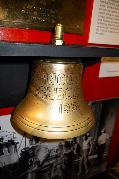
Vancouver Maritime Museum is a heritage museum in Vanier Park beside English Bay. Its subject is the maritime history of the Pacific Northwest and Arctic regions, bringing together stories of seafaring, exploration, shipping, naval activity, and northern waters.
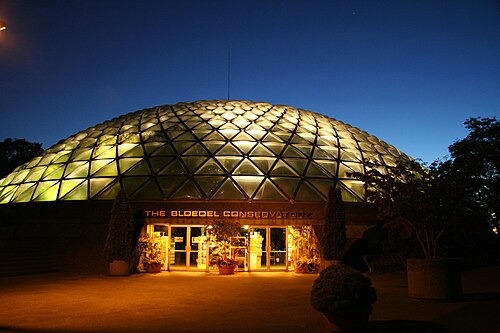
Bloedel Floral Conservatory
Bloedel Conservatory is a domed indoor garden and bird sanctuary at the highest point of Queen Elizabeth Park. Its controlled tropical climate creates a warm green refuge within Vancouver's temperate landscape.
Pacific Spirit Regional Park is a large forested regional park located beside the University of British Columbia campus in Vancouver. Managed by Metro Vancouver, it preserves significant coastal forest habitat on the city's western edge.
Spanish Banks Beach
Spanish Banks is a public beach park on Vancouver's west side, situated along English Bay.
Jericho Beach is a public waterfront area on Vancouver's west side, facing English Bay. The location combines sandy beachfront with a sailing centre and open views across the water toward the North Shore mountains.
Third Beach is a sandy public beach on the western shoreline of Stanley Park in Vancouver, British Columbia. It faces westward toward the Strait of Georgia, offering direct views of the sunset over the water.
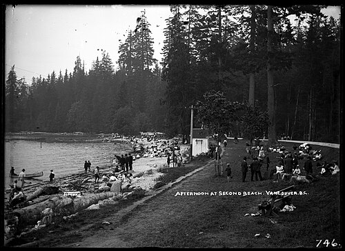
Second Beach is a public waterfront area in Stanley Park, Vancouver. It features a heated outdoor swimming pool, a sandy beach, and direct access to the city's famous seawall.
Sunset Beach Park is a waterfront green space on Vancouver's West End shore beside False Creek. The park combines a sandy beach, grass, trees, and open views towards the downtown skyline and North Shore mountains.
Locarno Beach is a public Vancouver beach on the English Bay shoreline, between Jericho Beach and Spanish Banks. It belongs to the city park system and offers a calmer western waterfront setting than the busier central beaches.
Trout Lake is a freshwater lake within John Hendry Park in east Vancouver. The lake and its surrounding green space form a relaxed public landscape with paths, a beach area, trees, picnic spaces, and views toward the mountains.
Vanier Park is a waterfront public park on the south shore of English Bay in Vancouver’s Kitsilano neighbourhood. Its peninsula setting opens views across the water toward downtown, the North Shore mountains, and the bay.
David Lam Park is a public park in Vancouver's Yaletown neighbourhood, situated along the north shore of False Creek.
CRAB Park at Portside is a compact harbour park on Vancouver’s downtown waterfront. Its name comes from Create a Real Available Beach, reflecting community efforts to create public access beside an industrial shoreline.
Waterfront Station
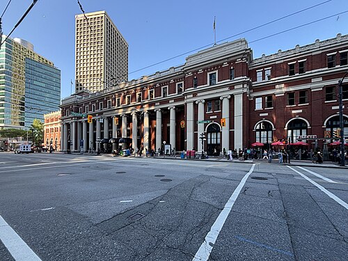
Waterfront Station is a heritage transit hub in Vancouver serving as a major interchange for rail, SeaBus, and SkyTrain services. The building preserves classical architectural elements while functioning as a practical arrival point for commuters and visitors.
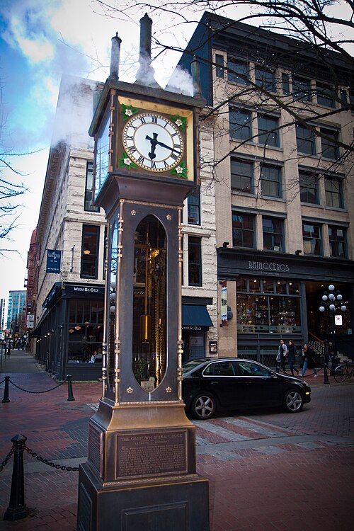
The Gastown Steam Clock is a public landmark on a sidewalk in Vancouver’s historic Gastown district.
Chinatown Millennium Gate is a ceremonial landmark at the western entrance to Vancouver Chinatown. Its traditional Chinese architectural forms make it an immediate visual marker for the historic neighbourhood.
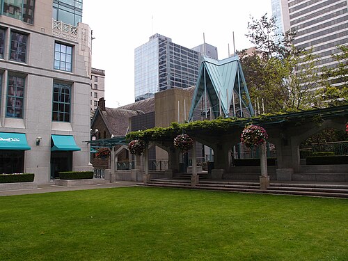
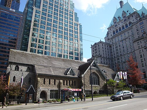
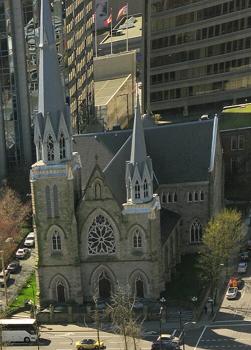
Christ Church Cathedral is the Anglican cathedral church in downtown Vancouver, British Columbia. It serves as the seat of the Anglican Diocese of New Westminster.
Holy Rosary Cathedral
Holy Rosary Cathedral is a Roman Catholic cathedral located in central Vancouver. It serves as a landmark historic church within the city centre and functions as a place of worship for the Catholic community.
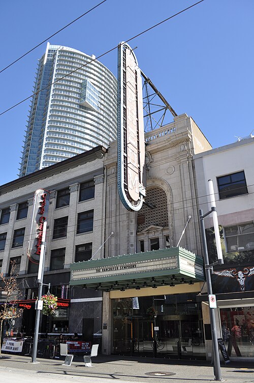
The Orpheum is a restored 1927 theatre on Granville Street in downtown Vancouver. It is a major concert hall and the home of the Vancouver Symphony Orchestra.
Queen Elizabeth Theatre
Queen Elizabeth Theatre is a civic performing arts venue in Vancouver, operated by the city. It serves as a major destination for opera, ballet, and touring theatrical productions.
The Vancouver Playhouse is a civic performing-arts theatre located in downtown Vancouver, British Columbia. Operated by the City of Vancouver through its parks, recreation, and culture division, it serves as a smaller companion venue to the adjacent Queen Elizabeth Theatre.
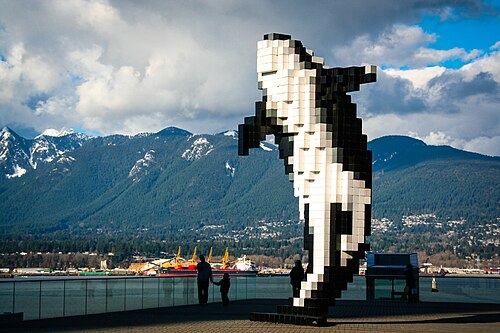
Digital Orca is a public sculpture by Canadian artist Douglas Coupland beside the Vancouver Convention Centre waterfront. Its orca form is built from cubic, pixel-like shapes, giving the work a digital appearance against Coal Harbour’s natural setting.
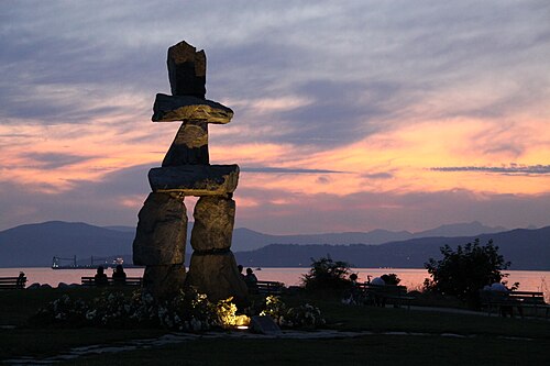
The English Bay Inukshuk is a stone waterfront landmark on Vancouver’s shoreline. An inukshuk is a human-made stone marker associated with Inuit and other Arctic peoples.
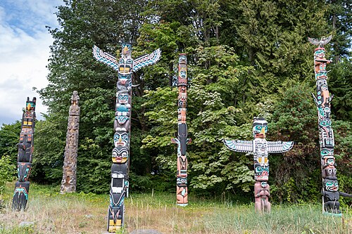
Brockton Point Totem Poles is a cultural landmark located within Stanley Park in Vancouver, British Columbia. The display features multiple totem poles representing Indigenous art and heritage from various First Nations of the Pacific Northwest.
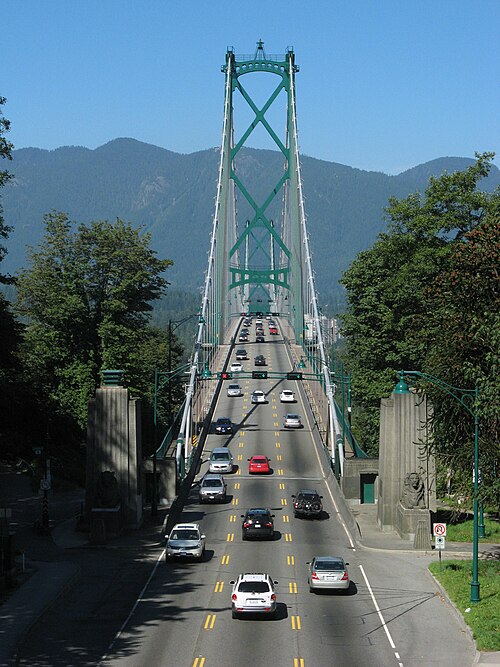
Lions Gate Bridge is a suspension bridge spanning the First Narrows of Burrard Inlet, connecting Stanley Park in downtown Vancouver to the North Shore municipalities.
Lonsdale Quay Market is a public market located at the Lonsdale Quay SeaBus terminal in North Vancouver, British Columbia. It occupies a waterfront position with views of Burrard Inlet and the Vancouver skyline across the water.
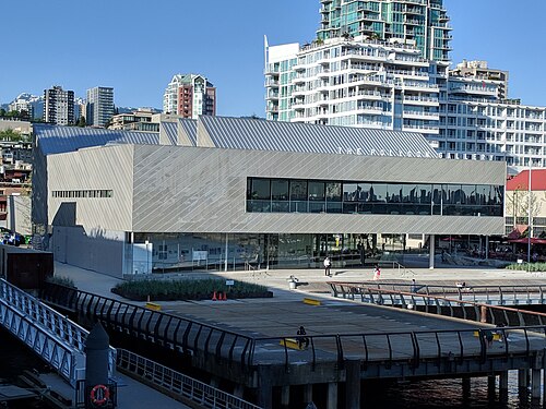
The Polygon Gallery is a contemporary art gallery located in North Vancouver, British Columbia. Situated in the Shipyards District at the foot of Lonsdale Avenue, it occupies a prominent waterfront position with views across Burrard Inlet toward downtown Vancouver.
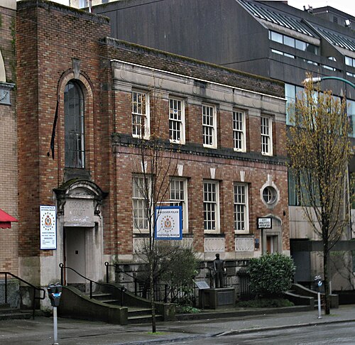
The Vancouver Police Museum occupies a heritage building that formerly served as the city's coroner's court and morgue. Operated independently of the Vancouver Police Department, it preserves and presents materials related to law enforcement history in Vancouver.
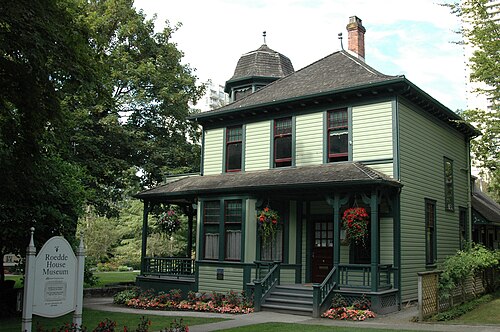
Roedde House Museum is a restored Victorian-era residence in Vancouver's West End. It preserves the domestic history of the Roedde family, early Vancouver residents. The house represents late-19th-century middle-class family life through its architecture and surviving furnishings.
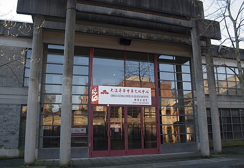
The Chinese Canadian Museum is a history museum in Vancouver’s Chinatown, dedicated to Chinese Canadian heritage and lived experience. The museum places national stories inside a neighbourhood that has long been a centre of Chinese Canadian community life.
Source: OpenStreetMap contributors, Wikidata ·
The downtown peninsula is the easiest orientation point, bounded by Burrard Inlet, English Bay and False Creek. Stanley Park occupies the west; Gastown and Chinatown are east; Yaletown faces False Creek to the south. Granville Island and Kitsilano are across the water, while Commercial Drive and Mount Pleasant sit farther east and southeast. The North Shore requires a harbour crossing and should be planned separately from central neighbourhood walking.
Checked 2026-08-26
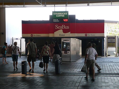
Walk and cycle within downtown and the seawall network, then use rapid transit and buses for longer city trips. SeaBus connects the waterfront with North Vancouver, while small passenger ferries cross False Creek between central stops and Granville Island. Regional ferries, floatplanes and intercity services leave the urban system for destinations beyond Vancouver. Check official schedules and service notices before any harbour or regional connection.
Checked 2026-08-26
A fixed stay length is not recorded. Plan downtown and Stanley Park first, then add Granville Island, neighbourhoods or the North Shore according to your priorities.
Yes. Downtown, the West End, Coal Harbour, Yaletown and the edge of Stanley Park form a compact peninsula suited to walking and cycling.
SeaBus crosses Burrard Inlet from the downtown waterfront. Treat North Shore attractions as a separate cluster and verify onward bus connections before departure.
No. It sits across False Creek from downtown. Reach it by bus, walking and cycling routes, or a small passenger ferry across the water.
No. Walking, cycling, rapid transit, buses and local ferries cover the central visitor districts. A car is more relevant for dispersed regional excursions.