.jpg)
7 min walk
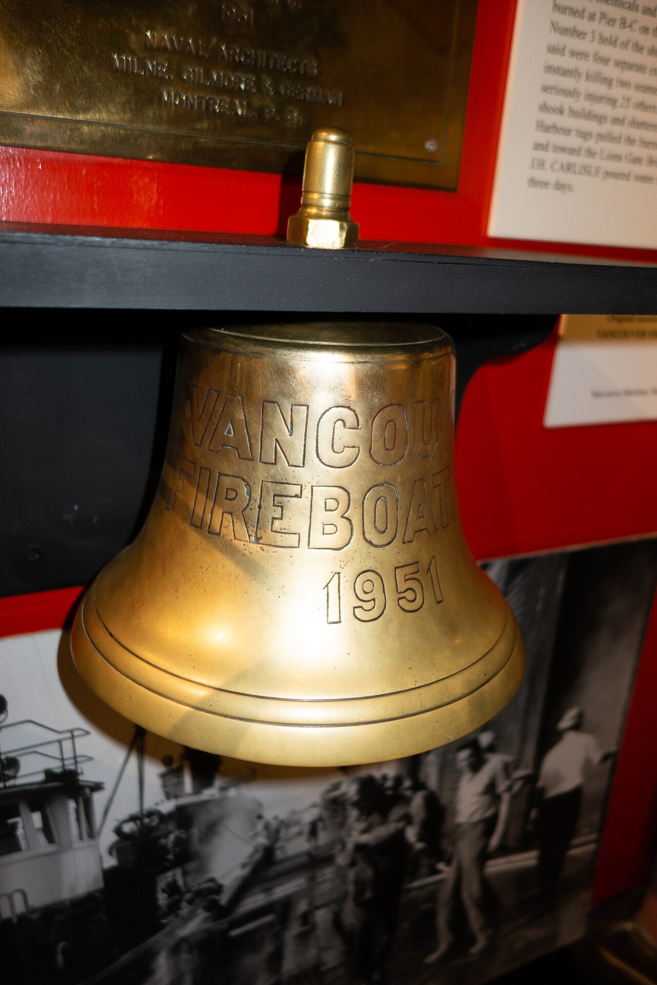
Vancouver Maritime Museum
- Must see
- Museum
Language · 11 published
Nature site · Vancouver
Reviewed by Elena Voss · Roavina Travel Editor
| Monday | 00:00 – 23:59 |
|---|---|
| Tuesday | 00:00 – 23:59 |
| Wednesday | 00:00 – 23:59 |
| Thursday | 00:00 – 23:59 |
| Friday | 00:00 – 23:59 |
| Saturday | 00:00 – 23:59 |
| Sunday | 00:00 – 23:59 |
Checked 2026-08-31 · Source
Read from the OpenStreetMap access tags; anything not listed has no tag recorded.
Set the group type to family in the planner and the day window contracts to about three quarters of a solo day.
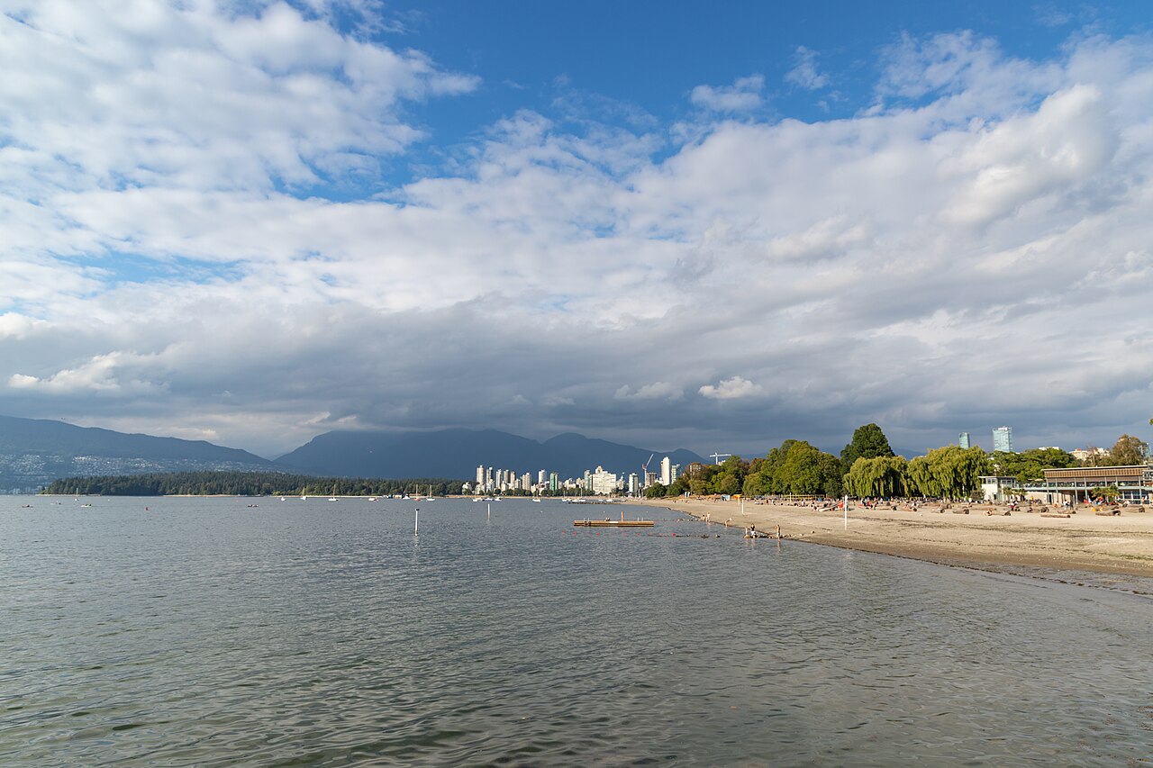
Kitsilano Beach is a broad sandy waterfront in Vancouver’s Kitsilano neighbourhood, facing English Bay with downtown Vancouver and the North Shore mountains visible across the water. Its identity comes from that urban composition: a beach day includes an open mountain panorama, city skyline, neighbourhood activity, and the changing atmosphere of a public shoreline. There is no enclosed route or prescribed sequence. Arrive, orient yourself along the bay, and choose whether to swim, sit on the sand, walk beside the water, or pause before nearby parks and museums. The beach’s appeal is the direct meeting of Vancouver’s metropolitan horizon with an everyday recreational waterfront.
Checked 2026-09-02 · Source
Expect an outdoor setting rather than rooms, exhibits, or a ticketed attraction: sandy shoreline, lawns, waterfront paths, open water, and long sightlines. Begin by looking across English Bay, where downtown and the North Shore mountains establish the scale of the setting. Then follow the beach edge or settle on the grass according to the weather and your group. Swimmers, walkers, cyclists, families, and people taking a quiet break share the same waterfront, giving Kitsilano a lived-in Vancouver rhythm. Adjacent recreation areas can add activity, but the central experience remains the contrast between shoreline, moving water, and a major city panorama.
Checked 2026-09-02 · Source
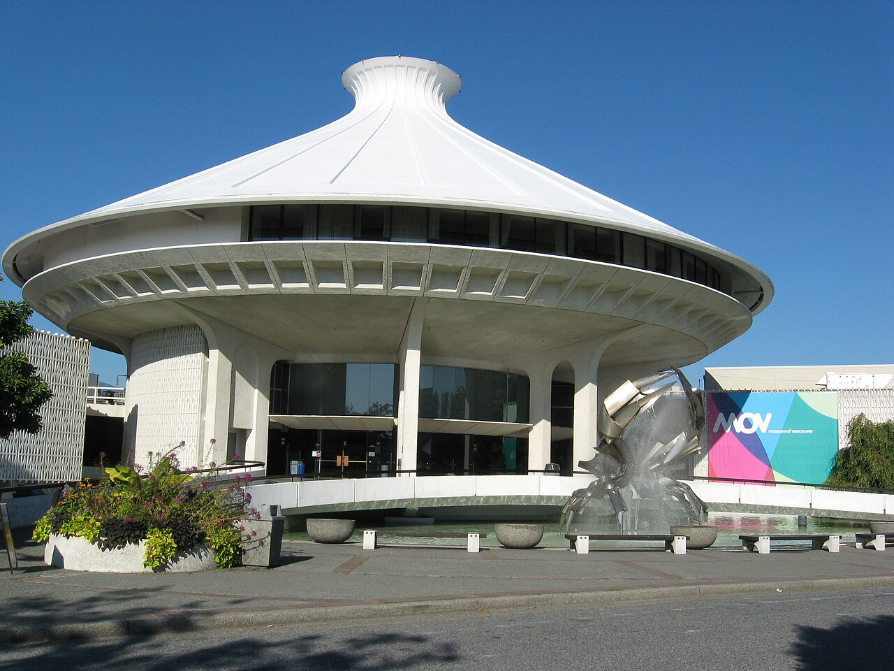
Allow 75 to 100 minutes for a focused visit. That is enough time to reach the shoreline, take in the English Bay outlook, walk a useful stretch of waterfront, sit for a while, and make photographs without reducing the stop to a quick glance. Swimming, family logistics, mobility needs, crowded conditions, or a slower scenic pace may extend the visit. Add transfer time if you continue to Vanier Park, the Museum of Vancouver, Vancouver Maritime Museum, or Granville Island; these are separate stops, not automatic parts of the beach. The setting rewards leaving room to absorb the horizon and watch the waterfront’s everyday movement.
Checked 2026-09-02 · Source
Plan around visibility and comfort as much as the clock. Clear daylight makes the downtown and North Shore outlook easier to read and helps with orientation along the shoreline. Warm periods can make the sand and recreation areas busier, while an earlier or later visit may feel calmer. The City listing supplied for this guide records the beach as open every day from 00:00 to 23:59. Weather, safety decisions, maintenance, and separately managed facilities can still affect what is practically available, so follow current City notices and directions at the waterfront. Wind, haze, cloud, and changing temperatures may matter more than nominal hours when the panorama is your priority.
Checked 2026-09-02 · Source
Entry to Kitsilano Beach is free per person. That applies to access to the public shoreline described here; it does not make every nearby or optional service free. Pools, rentals, programmes, parking arrangements, and special events may have separate terms or charges, so keep those possibilities distinct when planning the day. If an organised activity or managed facility is central to your visit, consult its responsible City information before setting out. For the beach itself, no admission ticket is required, making it easy to combine the shoreline with a walk, a park visit, or an afternoon beside English Bay.
Checked 2026-09-02 · Source
Use the Kitsilano shoreline entrance that best matches your first activity, whether you are heading for the sand, a waterfront walk, or an adjacent recreation area. The mapped way describes a broad waterfront feature, so its centre coordinate may not be the most useful arrival target. Walking, cycling, buses, rapid transit, and ferries can all form part of a Vancouver route, but the final connection needs time for crossings, queues, weather, and finding the correct path. Vanier Park and its museums make a practical pairing; Granville Island can also fit when the onward transfer is realistic. Once you reach Kitsilano, allow time to orient yourself before treating the neighbourhood as the beach entrance.
Checked 2026-09-02 · Source
This exposed waterfront can feel different from nearby inland streets: wind may rise, water may feel cold, and bright sun or haze can change comfort and visibility. Busy periods put more pressure on shared paths, sand, and circulation, so leave room for cyclists and follow posted beach, swimming, safety, and facility directions. The City’s accessible-beaches information records step-free access as limited rather than universal; shoreline surfaces and approaches may therefore not suit every visitor or route. Carry what your group needs, protect valuables in crowds, and keep an alternative plan if weather or water conditions make the intended activity unsuitable.
Checked 2026-09-02 · Source
Build a small visual sequence instead of taking only an arrival snapshot. Start with the English Bay horizon, then include downtown Vancouver and the North Shore mountains so the photograph explains what makes this shoreline distinctive. Move closer for sand, water, paths, and the ordinary activity that gives Kitsilano its scale. Late-day light may add depth to the skyline and mountain backdrop, although cloud and haze can change visibility quickly. Photograph from public areas without narrowing entrances or circulation routes, and respect other visitors’ privacy. Check posted rules before using drones, tripods, or commercial equipment; an attractive viewpoint does not imply permission for every kind of photography.
Checked 2026-09-02 · Source
Begin with the open outlook across English Bay toward downtown Vancouver and the North Shore mountains. Then choose between the sandy shoreline, lawns, waterfront paths, and adjacent recreation areas according to weather, energy, and time. The defining pleasure is seeing a city-facing panorama while sharing an active Kitsilano waterfront.
Allow about 75 to 100 minutes for a focused visit, including the shoreline outlook, a useful waterfront walk, time to sit, and photographs. Allow longer for swimming, families, mobility needs, crowded conditions, or a combination with a park or museum. This is a planning estimate for the visit, not a duration published by the City.
The City listing records Kitsilano Beach as open every day from 00:00 to 23:59. Weather, safety decisions, maintenance, and separately managed facilities can still affect what is practically available, so follow current City notices and on-site directions when you arrive.
Yes. The City of Vancouver records core admission to Kitsilano Beach as free per person. Nearby pools, rentals, programmes, parking arrangements, and special events may have separate rules or charges, so check the responsible information if one of those is part of your plan.
Step-free access is recorded as limited on the City’s accessible-beaches page, so do not treat every approach or shoreline surface as universally step-free. Confirm the route for the specific visitor and expect temporary conditions, weather, or works to affect the practical path.
Vanier Park, the Museum of Vancouver, and Vancouver Maritime Museum are natural nearby pairings; Granville Island may also work with a realistic onward transfer. Choose one or two according to your route, and verify each destination’s current hours, access, and travel time rather than treating the whole waterfront as one guaranteed programme.
Loading the interactive map…
The interactive map could not be loaded.

Last updated:
Source: OpenStreetMap contributors, Wikidata ·