



147 min walk
Mohamed Fares
- Notable
- Viewpoint
Language · 11 published
Nature site · Cairo
محمية وادي دجلة
Reviewed by Elena Voss · Roavina Travel Editor
Read from the OpenStreetMap access tags; anything not listed has no tag recorded.
Set the group type to family in the planner and the day window contracts to about three quarters of a solo day.
This place is a Attraction.
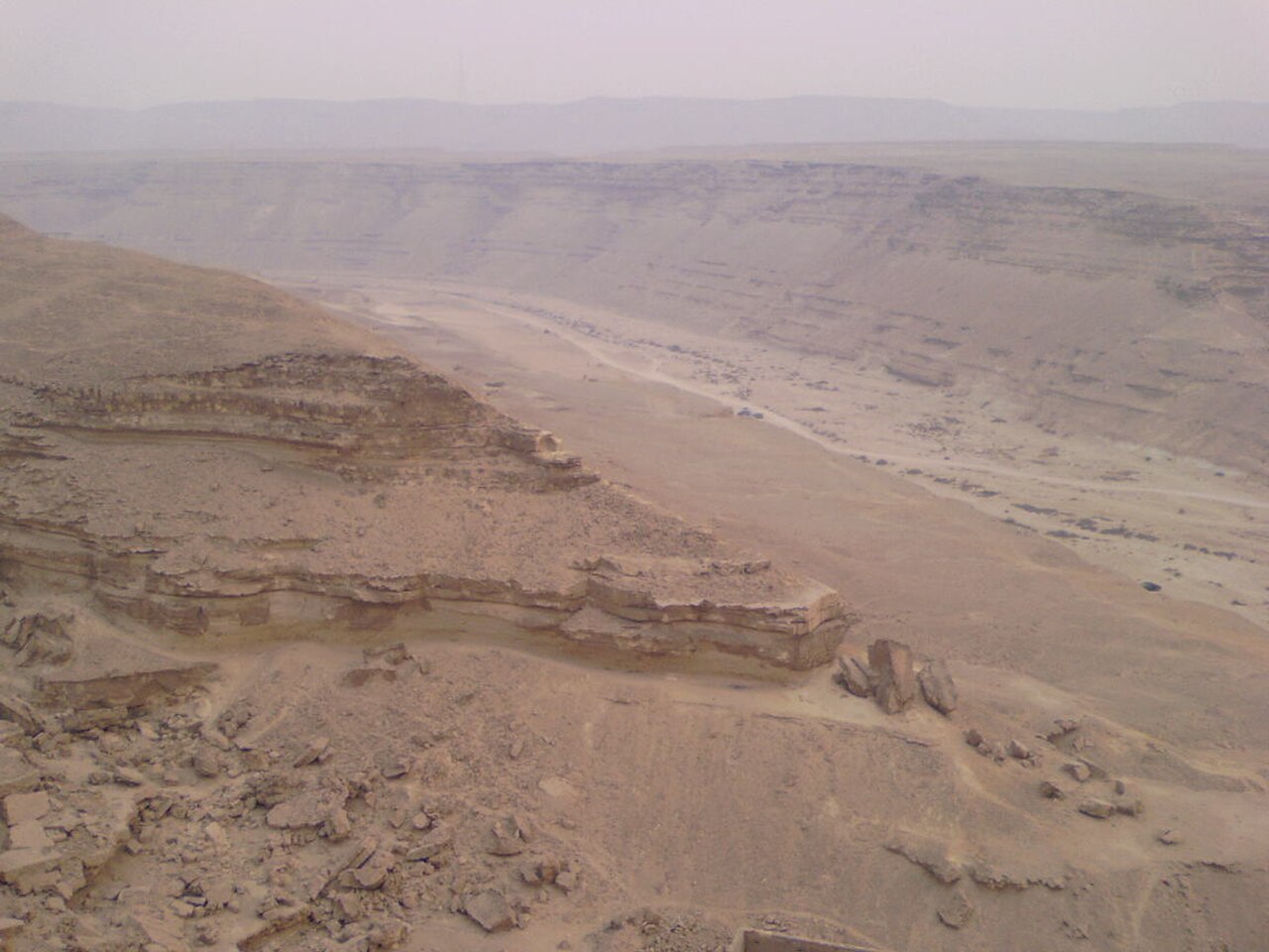
Wadi Degla Protected Area is a desert wadi situated at Cairo's southeastern edge, forming a natural corridor through rocky terrain. The protected status preserves this arid landscape from urban encroachment. As the nearest significant protected hiking area to Cairo's urban core, it offers accessible wilderness experience for residents and visitors seeking respite from the dense metropolitan environment. The wadi system represents a typical Eastern Desert drainage pattern, shaped by seasonal water flow through sedimentary rock formations over geological timescales.
Checked 2026-08-31 · Source
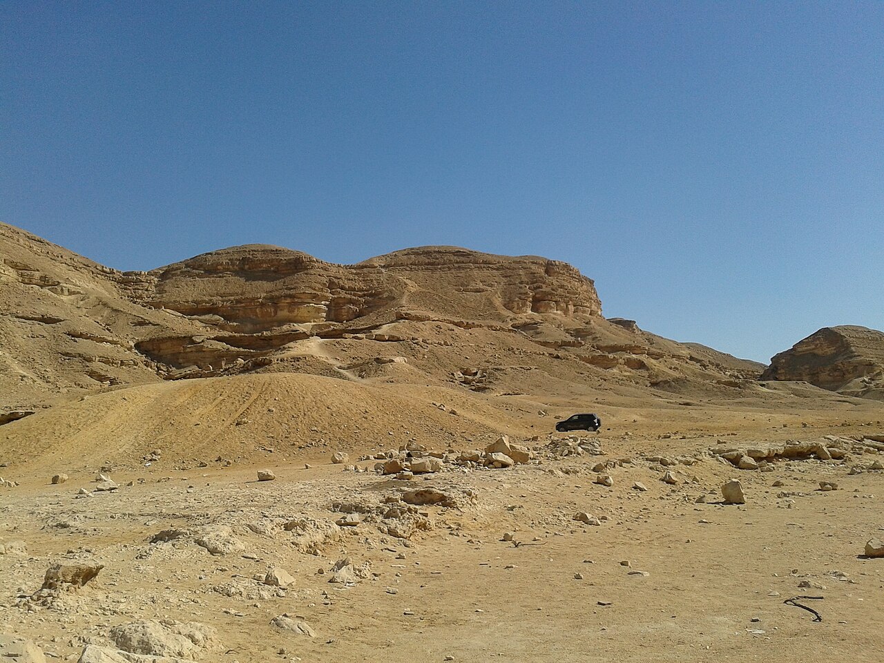
The protected area contains a dry riverbed valley flanked by limestone and sedimentary rock cliffs. Sparse desert vegetation adapted to arid conditions occupies the wadi floor and cliff faces. The terrain supports typical desert fauna including reptiles, small mammals, and bird species. Rock formations display erosion patterns from occasional flash floods. Fossil deposits may be present in the sedimentary strata. The landscape offers unobstructed views across desert plains toward the Eastern Desert mountain ranges. Wadi Degla remains operational: the Ministry hosted an official event inside the reserve in April 2026. Online booking generates a QR-coded ticket after payment.
Checked 2026-08-31 · Source
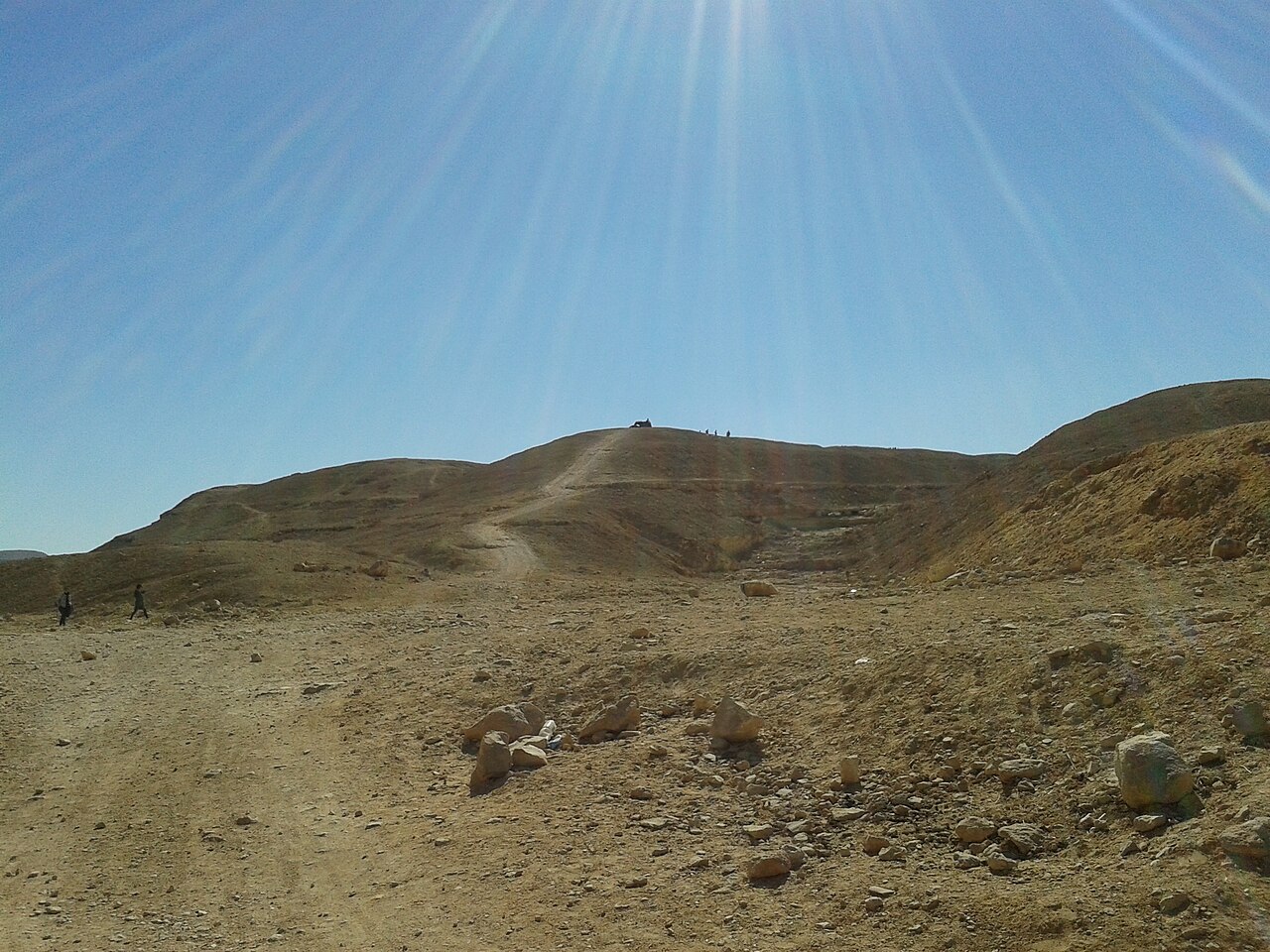
A typical visit spans two to four hours for hiking the main wadi corridor. Extended exploration of side tributaries and elevated viewpoints may extend duration to a full day. The depth of engagement depends on individual fitness levels, heat tolerance, and photographic interests. Visitors should carry sufficient water supplies proportional to time spent. Return trips from central Cairo including transport and activity generally require half a day minimum. Self-sufficiency in planning is essential given the undeveloped nature of the site. Standard entry costs EGP 10 for an Egyptian visitor and EGP 20 for a foreign visitor. Vehicle and camping charges are separate.
Checked 2026-08-31 · Source
The optimal visiting period falls during cooler months from late autumn through early spring, when daytime temperatures permit sustained physical activity. Summer months bring extreme heat dangerous for exposed hiking. Early morning departures mitigate thermal stress regardless of season. Visitors must independently verify current access conditions before travel. Sandstorms may occur during spring months. Visits are offered through the Ministry of Environment booking system, where visitors select an available date and time. The responsible authority publishes no fixed daily clock schedule or routine weekly closure day.
Checked 2026-08-31 · Source
Entry requirements and fee structures for protected areas in Egypt vary by administrative designation and are subject to change. Visitors should anticipate potential entrance fees collected at access points or permit requirements for foreign nationals. Payment methods may be restricted to cash in Egyptian pounds. Independent verification through official channels is essential before arrival. Standard entry costs EGP 10 for an Egyptian visitor and EGP 20 for a foreign visitor. Vehicle and camping charges are separate. Vehicle entry is available and separately tariffed, allowing step-free arrival through the entrance and access along driveable portions of the reserve.
Checked 2026-08-31 · Source
The protected area lies approximately fifteen to twenty kilometers southeast of central Cairo, accessible via the Autostrad road toward Maadi and beyond. Private vehicle or hired taxi represents the most reliable transport method. Public bus routes may serve nearby districts with remaining distance on foot. The reserve lies east of Cairo's Maadi district. Cairo Metro Line 1 serves both Maadi and El Zahraa stations; from either station, complete the journey by taxi to the Wadi Degla Protected Area entrance shown on Cairo Governorate's official map link. No metro station serves the reserve gate directly.
Checked 2026-08-31 · Source
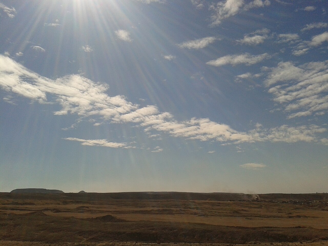
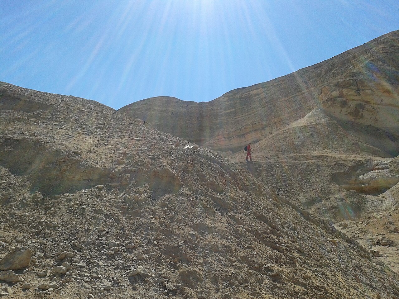
Desert hiking hazards include dehydration, heat exhaustion, and disorientation from featureless terrain. Carry abundant water beyond apparent requirements. Mobile telephone coverage may be intermittent or absent. Inform contacts of intended route and return time. Loose rock on slopes presents fall risk. Wildlife encounters require respectful distance, particularly with snakes active in warmer periods. Solo hiking is inadvisable. Vehicle entry is available and separately tariffed, allowing step-free arrival through the entrance and access along driveable portions of the reserve. The responsible public bodies do not identify a continuous wheelchair-accessible trail or dedicated accessible visitor facilities.
Checked 2026-08-31 · Source

The wadi offers strong photographic potential through geological textures, dramatic shadows, and expansive desert vistas. Golden hour lighting enhances cliff formations during early morning and late afternoon. Midday sun produces harsh contrasts challenging exposure balance. Wide-angle lenses capture the scale of wadi walls; telephoto lenses isolate rock detail patterns. Minimal light pollution may permit astrophotography on clear nights, though overnight stays require independent security assessment. Dust exposure risks camera equipment. Tripods assist in low-light conditions. Respect any restrictions on commercial filming activities. It was declared a protected area in 1999.
Checked 2026-08-31 · Source
It was declared a protected area in 1999.
The protected area covers 60 square kilometres.
The valley extends approximately 30 km from east to west.
The wadi cuts through marine limestone deposited during the Eocene about 60 million years ago, leaving fossil-rich rock, caves and canyon formations.
Cairo Governorate identifies cycling, camping, mountain climbing and running among the reserve's activities.
Its core contains the main wadi, geological formations, caves and waterfall area under strict protection; the surrounding buffer is managed for sustainable educational, recreational and scientific uses.
Loading the interactive map…
The interactive map could not be loaded.
Last updated:
Source: OpenStreetMap contributors, Wikidata ·