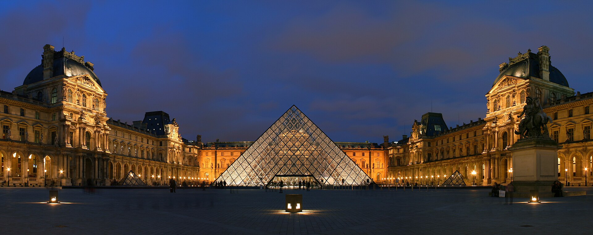
The arrondissements spiral clockwise from the centre: the 1st sits at the Louvre and the Île de la Cité, and the numbers wind outward to the 20th. Learning that shape is the single most useful thing a first-time visitor can do, because every address in the city carries its arrondissement and the number tells you roughly where you are.
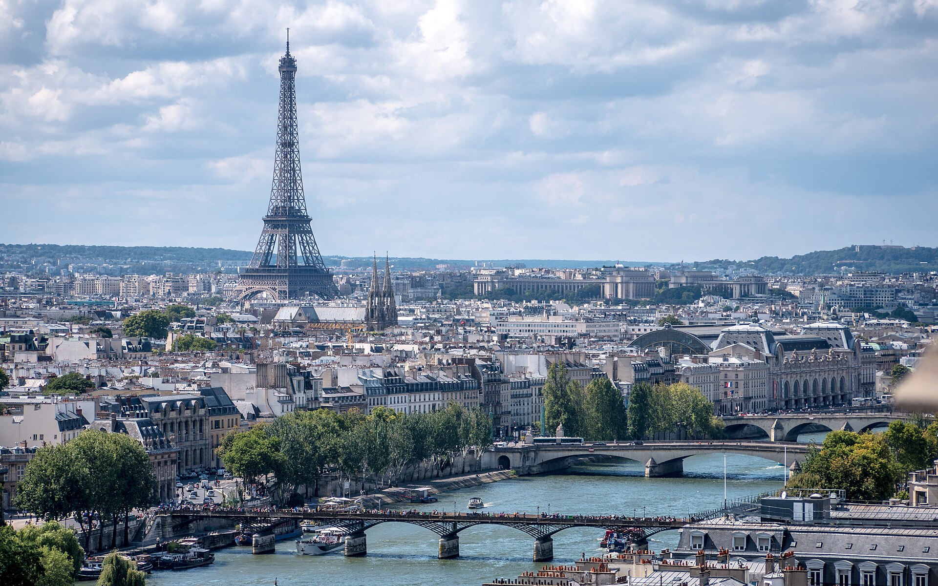
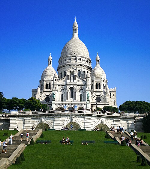
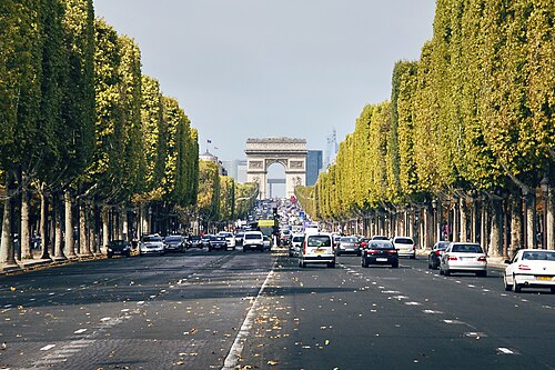
The Right Bank — north of the Seine — is the 1st through 4th at the centre, then the grand avenues of the 8th and 16th to the west and Montmartre in the 18th to the north. The Louvre, the Champs-Élysées, the Opéra and Sacré-Cœur are all Right Bank.
The Left Bank — south — is the 5th, 6th and 7th: the Latin Quarter, Saint-Germain, the Panthéon, the Musée d'Orsay and the Eiffel Tower. It is the older-feeling half and the one with the bookshops.
The Périphérique, completed in 1973, rings the whole of it. Inside is Paris; outside is the metropolitan area of 13,320,752 people across 18,940.7 km², which is a different thing.
Checked 2026-08-23
The Métro, and then walking. Paris is small enough that the two together cover everything.
The Métro opened on 19 July 1900 during the World's Fair and now runs 16 lines — numbered 1 to 14 plus 3bis and 7bis — across 321 stations, 61 of which are interchanges. Stations sit 548 m apart on average, which is why a Métro journey of two stops is usually a walk. It carries 1.523 billion passengers a year, 4.17 million a day.
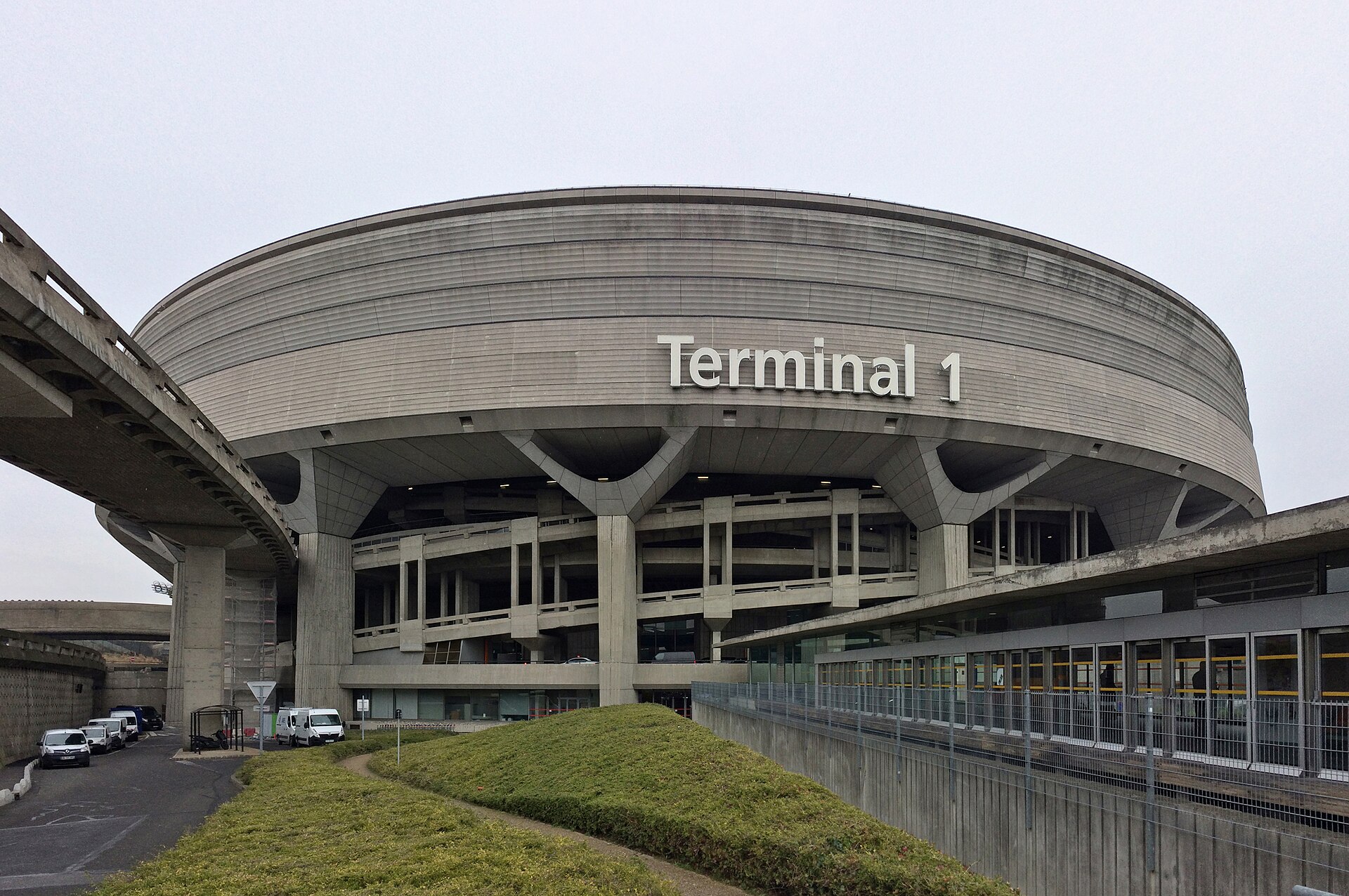
The RER extends further out into the suburbs and is what takes you to the airports and to Versailles. Châtelet–Les Halles, where five Métro lines meet three RER lines, is the largest interchange and the one to avoid at rush hour.
Single tickets and multi-use passes are both sold, and the Navigo Easy card is the contactless option.
Checked 2026-08-23


.jpg)


