51 min walk
Betanía
- Notable
- Place of worship
Language · 11 published
Nature site · Reykjavik
Reviewed by Elena Voss · Roavina Travel Editor
| Monday | 00:00 – 23:59 |
|---|---|
| Tuesday | 00:00 – 23:59 |
| Wednesday | 00:00 – 23:59 |
| Thursday | 00:00 – 23:59 |
| Friday | 00:00 – 23:59 |
| Saturday | 00:00 – 23:59 |
| Sunday | 00:00 – 23:59 |
Checked 2026-08-31 · Source
Read from the OpenStreetMap access tags; anything not listed has no tag recorded.
Set the group type to family in the planner and the day window contracts to about three quarters of a solo day.
Eiði Coastal Path is an open shoreline walking area in the Reykjavík region. The route brings visitors close to North Atlantic water, broad skies, and the rugged coastal character associated with Iceland. It is a landscape outing rather than a museum or built attraction. The appeal lies in moving beside the shore, taking in changing weather and light, and experiencing public coastal space within the wider capital area. Eiðsgrandi, known in English as Eidi Coastal Path, is a coastal walkway area in the greater Reykjavík region of Iceland. The name reflects its position along shoreline terrain. As an open coastal path, it forms part of the accessible outdoor spaces serving residents and visitors to Iceland's capital area. The route offers proximity to North Atlantic waters and typical Icelandic coastal scenery. The path exemplifies Iceland's emphasis on public coastal access. The exposed coastal environment with wave and wind hazards requires careful adult assessment of children's capabilities and close supervision.
Checked 2026-08-26 · Source
The experience consists of shoreline, rocky coastal details, low vegetation, open horizons, and the walking surface itself. There is no visitor centre or exhibition building described at the path. Expect an unembellished outdoor route where the sea and sky provide most of the visual interest. The changing conditions are part of the character: calm water, cloud, wind, and shifting light can make the same stretch feel different throughout the day. The Eidi Coastal Path comprises a shoreline walkway with adjacent coastal terrain. Visitors encounter North Atlantic waterfront, rocky shoreline features, and open skyscapes characteristic of Reykjavík's maritime environment. Vegetation along such Icelandic coastal paths typically includes low grasses and hardy shoreline plants adapted to wind and salt exposure. The path itself provides passage through this transitional zone between land and sea. The experience centers on natural coastal elements rather than constructed attractions. Users should expect exposed, unembellished shoreline conditions throughout.
Checked 2026-08-26 · Source
Choose the length of the walk according to your starting point, turnaround point, pace, and weather. Leave room for pauses to watch the water and photograph the horizon. Wind and wet ground can make a modest distance feel more demanding than an urban walk. Coastal paths in the Reykjavík area vary considerably in length based on user-selected routes and turn-around points.
Checked 2026-08-26 · Source
Summer gives the coast long hours of daylight, making it easier to enjoy a relaxed walk and broad landscape views. Winter brings shorter daylight and more demanding weather, but low light can create dramatic seascape conditions. The path is an outdoor experience with no described staffed attraction or indoor programme. Pick a time when visibility and wind suit your group, and remember that coastal weather can change quickly in every season.
Checked 2026-08-26 · Source
Eiði Coastal Path is an open coastal walking area, so the visit is centred on the shoreline rather than an admission-controlled attraction. There is no ticketed exhibition or entrance sequence described for the route. Your main planning needs are clothing, daylight, and a comfortable way to reach the waterfront. Treat the path as a simple landscape stop that can be fitted around other Reykjavík activities without an indoor timetable.
Checked 2026-08-26 · Source
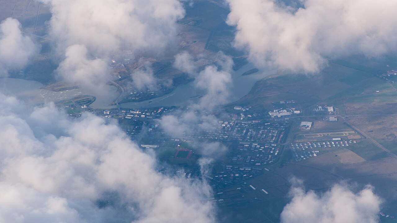
The path lies within the greater Reykjavík area and can be approached through the capital region’s local road, bus, walking, and cycling networks. The supplied place record identifies the coastal route but does not give a complete visitor route from central Reykjavík. Use the mapped shoreline position to choose a practical approach. Once beside the coast, the visit is experienced on foot, with the surrounding urban area gradually giving way to open waterfront views.
Checked 2026-08-26 · Source
Keep well back from the water on this exposed North Atlantic shoreline. Cold water, waves, slippery rocks, and strong gusts create real hazards close to the edge. Wear waterproof and windproof layers and choose footwear suitable for wet or uneven ground. The route has no described lifeguard service or visitor facility. If conditions deteriorate, shorten the walk and return by the route you know rather than continuing along an exposed section.
Checked 2026-08-26 · Source
The coastal path is suited to photographs of open sea, rocky textures, low shoreline vegetation, and wide Icelandic skies. Summer light can linger for long periods, while winter offers low-angle illumination and stronger contrasts. Wind makes tripod use difficult, and salt spray or rain can reach equipment quickly. Compose with the horizon and shoreline curves, then protect lenses and camera bodies whenever weather moves in from the Atlantic.
Checked 2026-08-26 · Source
It is an open shoreline walking area in the Reykjavík region beside the North Atlantic.
Expect rocky shoreline, low coastal vegetation, open water, broad skies, and changing Icelandic weather.
Yes. Choose your own turnaround point and pace, making it suitable for a brief stroll or a longer coastal outing.
Yes. Wind, rain, slippery ground, and rapid weather changes are central considerations along the open shore.
The place is described as a coastal walking route, not as a designated swimming area.
The strongest subjects are the North Atlantic horizon, shoreline textures, open skies, and changing coastal light.
Loading the interactive map…
The interactive map could not be loaded.
Last updated:
Source: OpenStreetMap contributors ·